Practical advice to prepare for the Mount Roraima tepui, covering logistics, gear, culture, and the challenges of trekking in this unique location
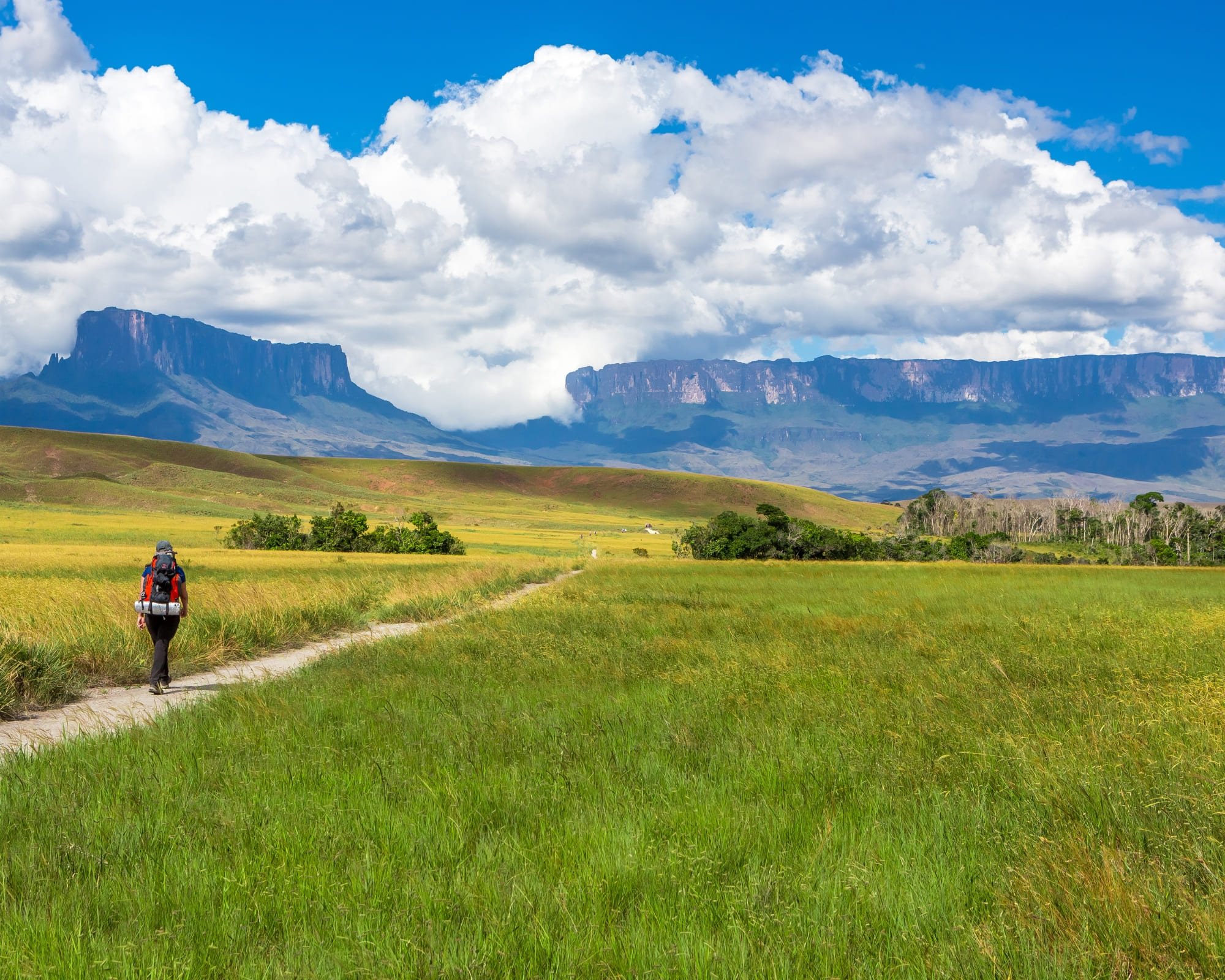
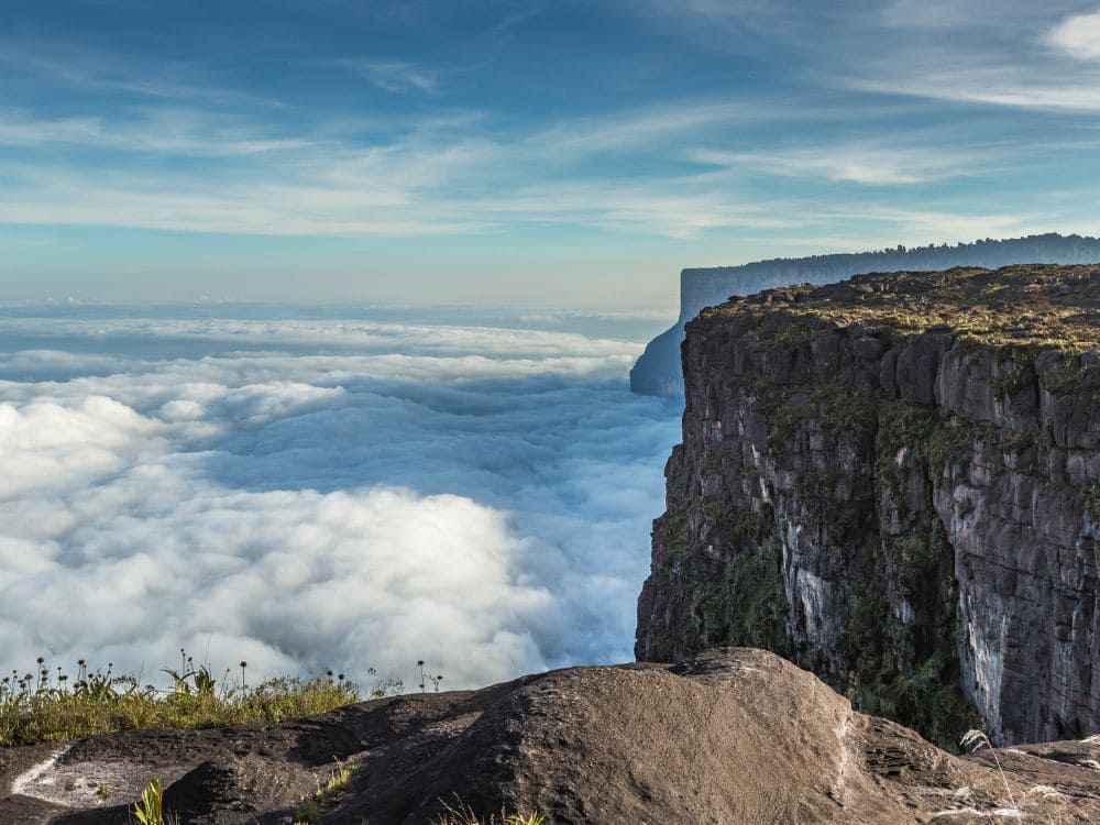
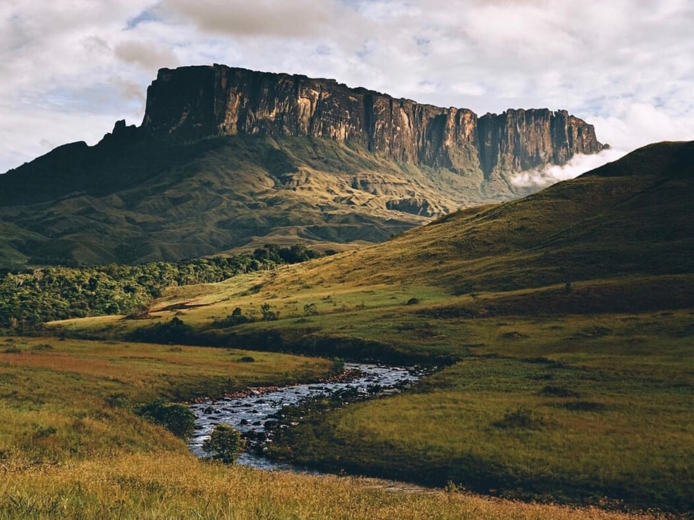
Mount Roraima rises almost 3,000 meters above sea level at the border of Venezuela, Brazil, and Guyana. Known as one of the world’s oldest geological formations, Mount Roraima tepui is surrounded by mystery, unique wildlife, and landscapes that resemble another planet. Travelers who prepare well can enjoy one of the most extraordinary trekking experiences in South America.
Planning a trekking Mount Roraima journey requires more than stamina. It means knowing the weather, respecting local communities, and being ready for the challenges of long days on the trail. Every detail counts: what you pack, how you train, and the guides you choose to walk with.
At PlanetaEXO, we believe that a trip to Mount Roraima should go beyond reaching the plateau. By joining our expeditions, you not only hike safely but also contribute directly to Indigenous communities and the preservation of this fragile environment.
With this in mind, let’s dive into the 10 travel tips for Mount Roraima that will help you make the most of your adventure:
1. Hire local porters for trekking Mount Roraima
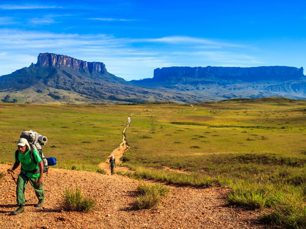
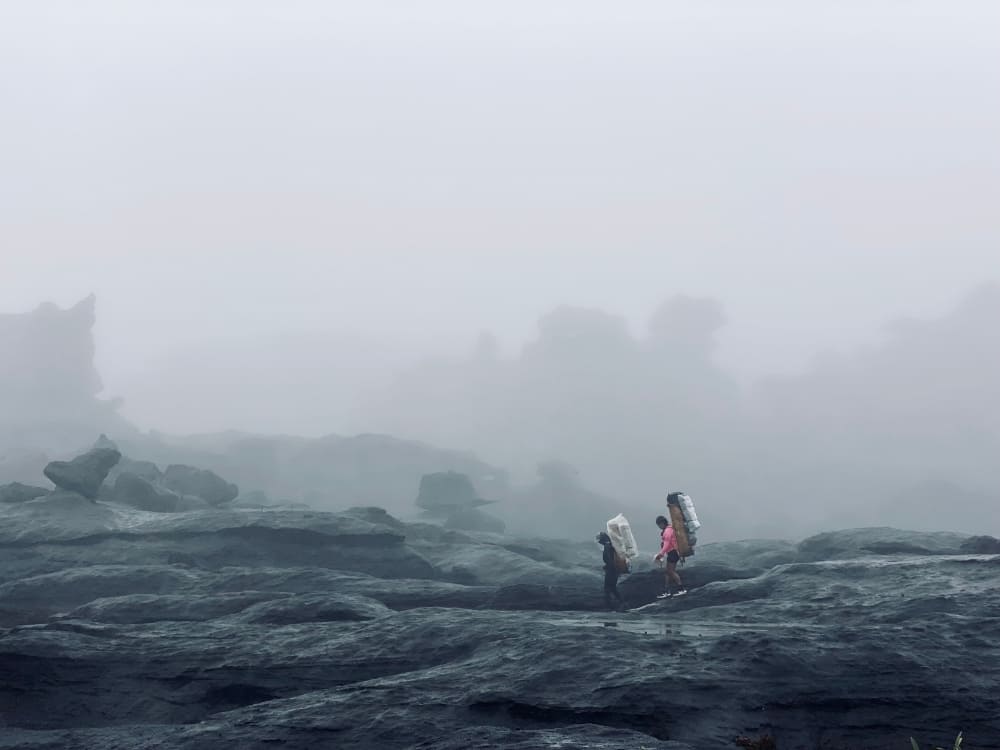
One of the first tips to consider is hiring porters from the Indigenous communities around Mount Roraima. These professionals carry heavy gear, help set up camps, and share cultural knowledge along the way. It makes the trek lighter and gives you more energy to focus on the breathtaking views.
Porters are not just helpers: they are guardians of the tepui. By hiring them, you directly support the local economy and ensure that your trip has a positive impact on families who have lived in this region for centuries. Many travelers find that conversations with porters enrich the journey as much as the landscapes.
If you wonder whether this service is essential, remember the trek covers up to 90km in 8 to 10 days. Carrying less weight can be the difference between enjoying the hike and struggling with exhaustion. Supporting local porters is both practical and meaningful.
2. Plan your trip with a reliable agency
Crossing borders, arranging permits and understanding the terrain are not things to leave until the last minute. Using a reputable agency ensures that logistics such as visas, transfers and meals are planned in good time. This is particularly important given that the Mount Roraima Location and official entry point for the trek is Paraitepuy in Venezuela and smooth border procedures are essential.
PlanetaEXO works with trusted partners who are familiar with every step of the route. From Boa Vista in Brazil to Santa Elena de Uairén in Venezuela, we carefully coordinate the journey to guarantee safety and comfort. With us, travellers don’t need to worry about transport or campsite organisation.
👉 Curious about requirements? Read our blog on Do I Need a Visa to Visit Mount Roraima?
3. Bring raincoats and rain gear
The weather at Mount Roraima is unpredictable. You can face bright sunshine in the morning, mist in the afternoon, and rain by night. Even in the dry season, showers are common. A waterproof jacket, backpack cover, and dry bags for electronics are indispensable.
Hiking without proper rain protection often results in soaked gear and uncomfortable nights at camp. Many campsites are exposed to humidity, and tents can flood during heavy rains. Packing extra socks and a microfiber towel makes a big difference for your comfort.
This is not just about staying dry, it’s about keeping your energy up for the long days ahead. The tepui environment is harsh, but with the right rain gear, you’ll be able to face it head-on and reach the Mount Roraima top.
4. Prepare physically for the trek to the Mount Roraima top
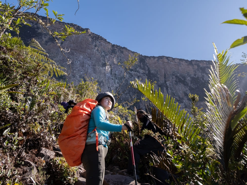
How hard is it to climb Roraima? The answer depends on preparation. The trail involves river crossings, steep sections like La Rampa, and slippery rocks around waterfalls. Even if you are healthy, endurance training makes the experience far more enjoyable.
Start with regular hiking or long walks at least two months before your trip. Add cardio exercises, such as cycling or running, and strengthen your legs with squats and lunges. Remember that the trek takes place at high altitude, where the air is thinner, and fatigue comes faster.
PlanetaEXO recommends setting realistic goals. The challenge is achievable for most people, but being ready means less stress and more joy.
👉 To know more, check our full article: How hard is it to trek up Mount Roraima?
5. Interact with local fauna, flora, and community
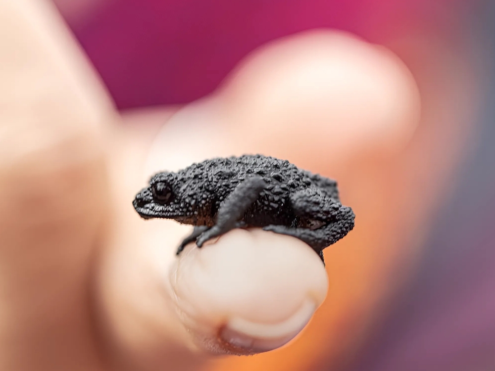
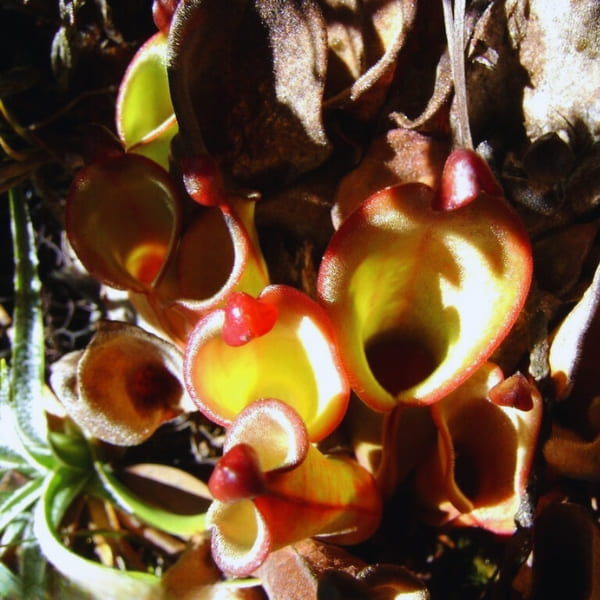
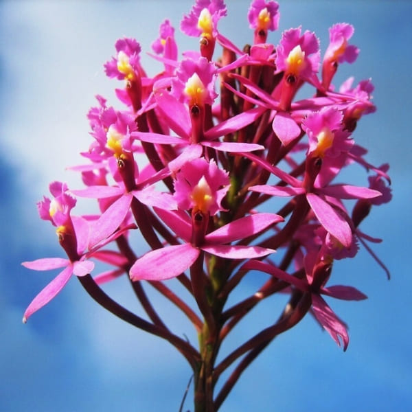
Mount Roraima is home to carnivorous plants like Heliamphora nutans and species that exist nowhere else on Earth, such as the black frog Oreophrynella quelchii. Looking closely at the summit reveals orchids blooming between rocks and colorful birds flying across the cliffs.
Equally important are the communities living near the tepui, like the Pemón and Ingarikó. These groups share traditions, guide expeditions, and protect the fragile ecosystems of the plateau. Listening to their stories of Mount Roraima location brings depth to the journey and connects you to the living culture of the region.
👉 To combine trekking with cultural interaction, explore our Mount Roraima 8-Day Trek, which includes time with local guides and nights under the stars
6. Bring the right equipment
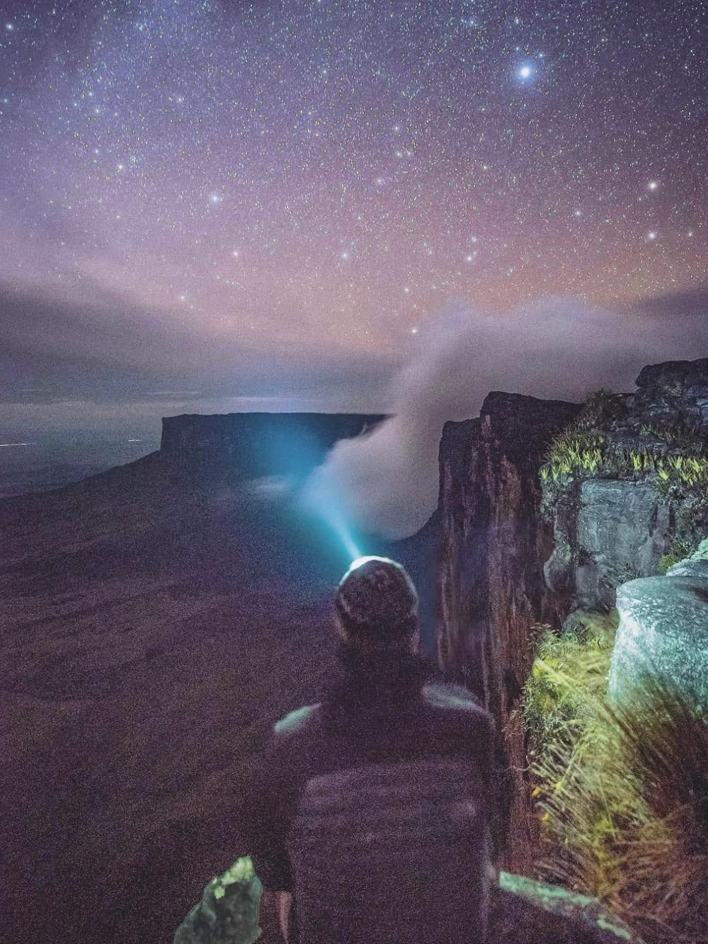
The success of trekking Mount Roraima depends heavily on your gear. Essential items include durable hiking boots, trekking poles, a headlamp, and a sleeping bag rated for near-freezing temperatures. Nights on the tepui can drop to 0°C, even though you are in the tropics.
Don’t forget eco-friendly water bottles and a portable purifier. Staying hydrated is key since the combination of altitude and intense sun depletes your energy quickly. Lightweight camping utensils and energy snacks also make a difference. At the Mount Roraima tepui, you will see that all efforts are worth it.
👉 Ready for the challenge? Join our 10-Day Mount Roraima Hike
7. Pack your luggage wisely
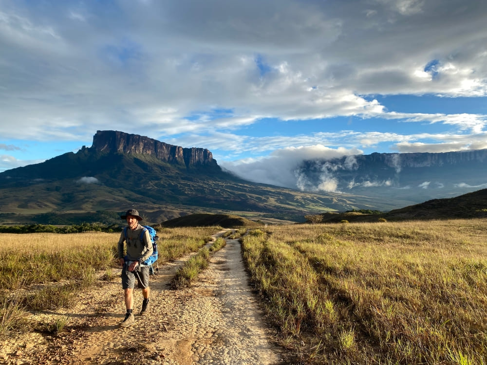
What you bring matters, but how you pack is equally important. Divide your belongings into waterproof compartments. Keep daily essentials, like sunscreen, snacks, and camera, in an accessible pocket of your backpack. Heavy items, such as sleeping gear, should be stored close to your back for balance.
Avoid overpacking. Every extra kilo makes the trek harder, especially on steep ascents. Many trekkers regret bringing unnecessary clothes or bulky items. Instead, focus on versatile layers that can be worn multiple times.
Cash, passport, and yellow fever vaccination proof are also required. Border authorities check these documents, and having them handy avoids delays. Organizing your luggage ensures peace of mind during the expedition.
👉 Curious about the full route and logistics? Read our article on How to Get to Mount Roraima
8. Talk to other travelers and record your trip
Mount Roraima attracts adventurers from around the globe. Sharing stories on the trail creates lasting friendships and turns the journey into a collective memory. Around the campfire, conversations often mix Spanish, Portuguese, and English, adding to the cultural mosaic.
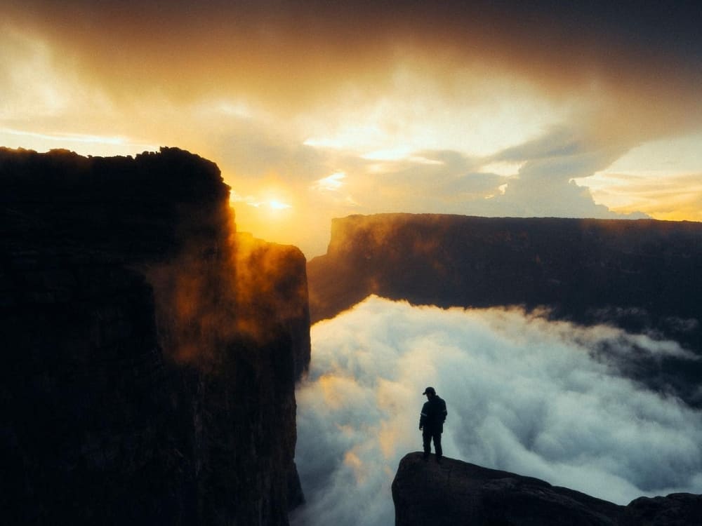
Recording your trip through photos, videos, or a travel journal makes the experience timeless. The plateau offers surreal landscapes such as the Valley of Crystals, Lake Gladys, and La Ventana lookout. Capturing these moments helps you relive the adventure and share it with others.
Think of your trek as part of a global community of explorers. Every image, note, and exchange with fellow hikers is part of the story you’ll tell once back home.
9. Research local history and culture
Mount Roraima is more than a geological wonder. It has been sacred to Indigenous peoples for centuries and inspired legends such as the Tree of Life, which gave birth to rivers and mountains. European explorers first climbed it in 1884, but long before that, the tepui was part of Pemón cosmology.
Reading about these traditions before your trip adds meaning to every step. Knowing the myths and scientific studies deepens your appreciation of the plateau’s uniqueness. This background transforms the climb from a physical challenge into a cultural and historical journey.
👉 Interested in fascinating details? Read our article 10 Facts About Mount Roraima
10. Be open to new challenges
Even with preparation, the tepui will surprise you. Weather changes quickly, campsites can be uncomfortable, and the terrain requires resilience. Accepting these challenges is part of the adventure.
The reward is more than reaching the Mount Roraima top: it’s the sense of achievement, the connection to nature, and the friendships formed along the way. Many trekkers describe the moment they stand at the Triple Point, where three countries meet, as unforgettable.
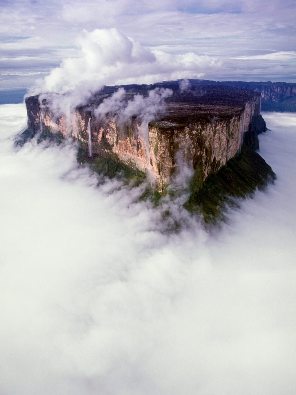
👉 Want to know more about what awaits at the summit? Don’t miss our blog post: What’s on Top of Mount Roraima?
Travelling with PlanetaEXO
Choosing PlanetaEXO for your trek means having reliable logistics, expert guides, and responsible travel practices. From arranging the best logistics to providing equipment, we take care of the details so you can focus on the adventure.
Our expeditions are small-group experiences designed to minimize environmental impact and maximize authenticity. By traveling with us, you support Indigenous communities and ensure tourism contributes positively to the region.
In the end, the 10 travel tips for Mount Roraima are not just about preparation: they are about making your journey safer, richer, and more responsible. Ready to turn this dream into reality?
👉 Contact us and start planning your trek today


