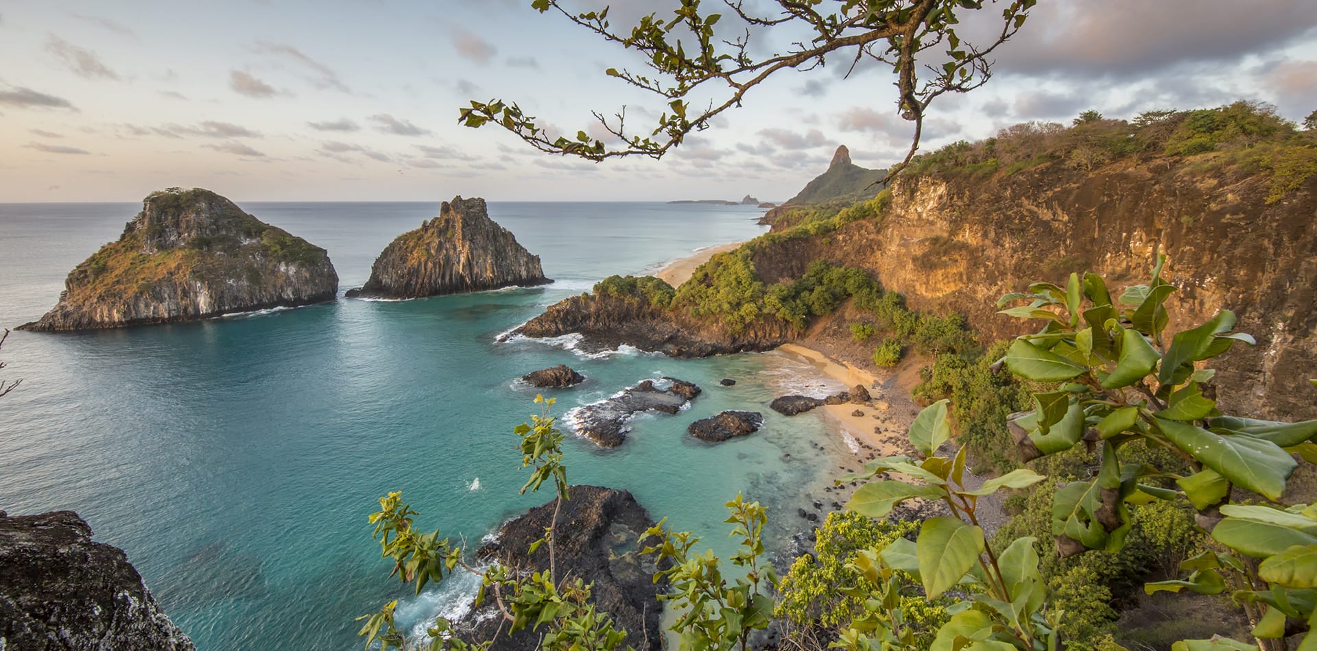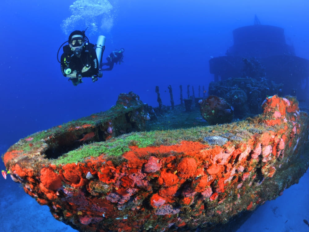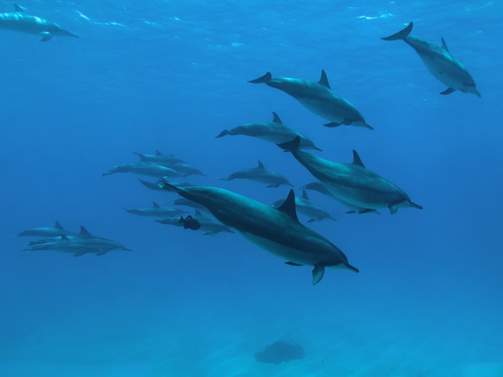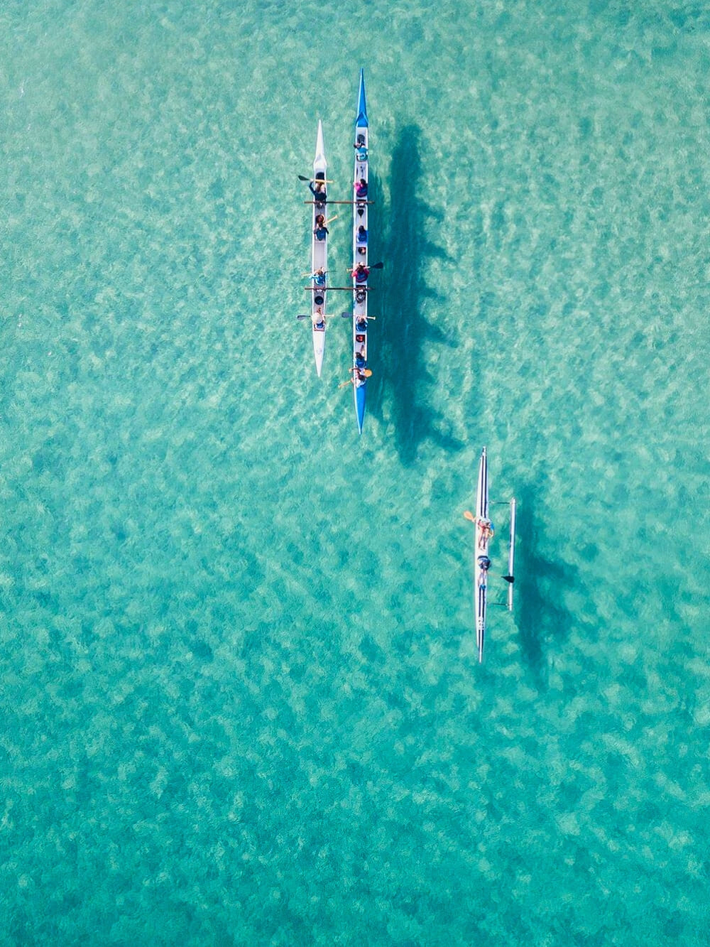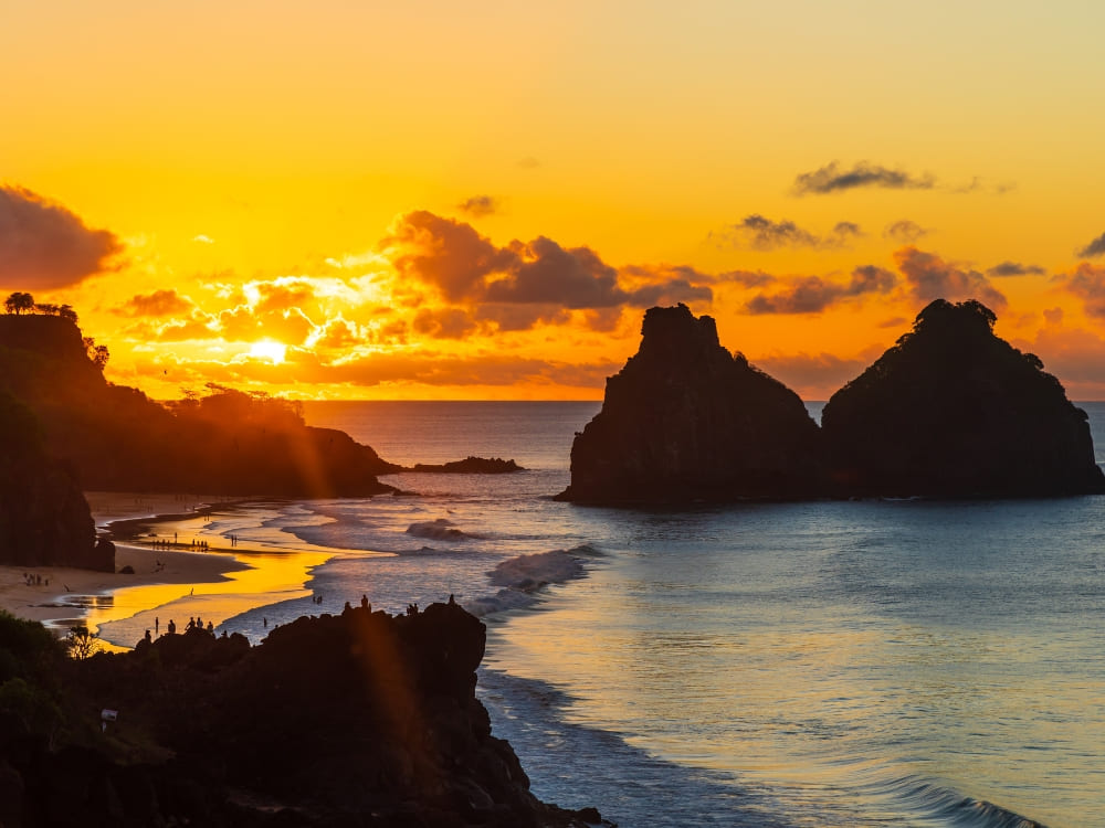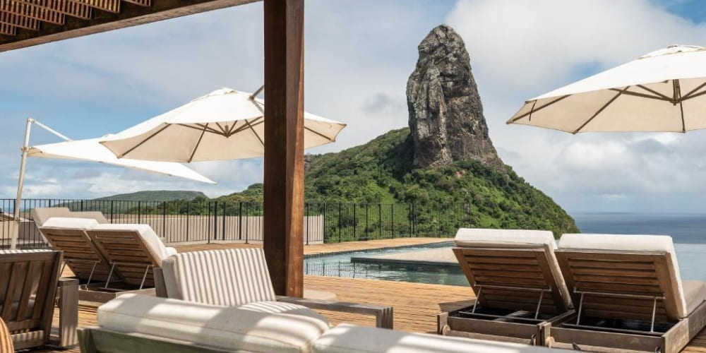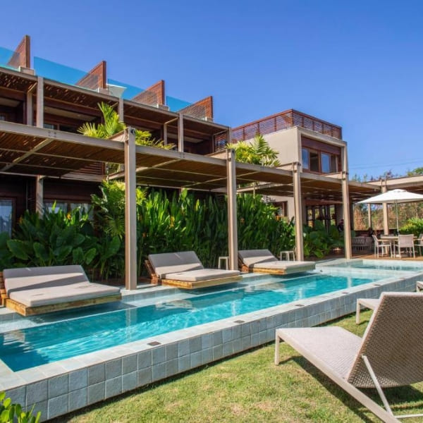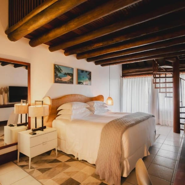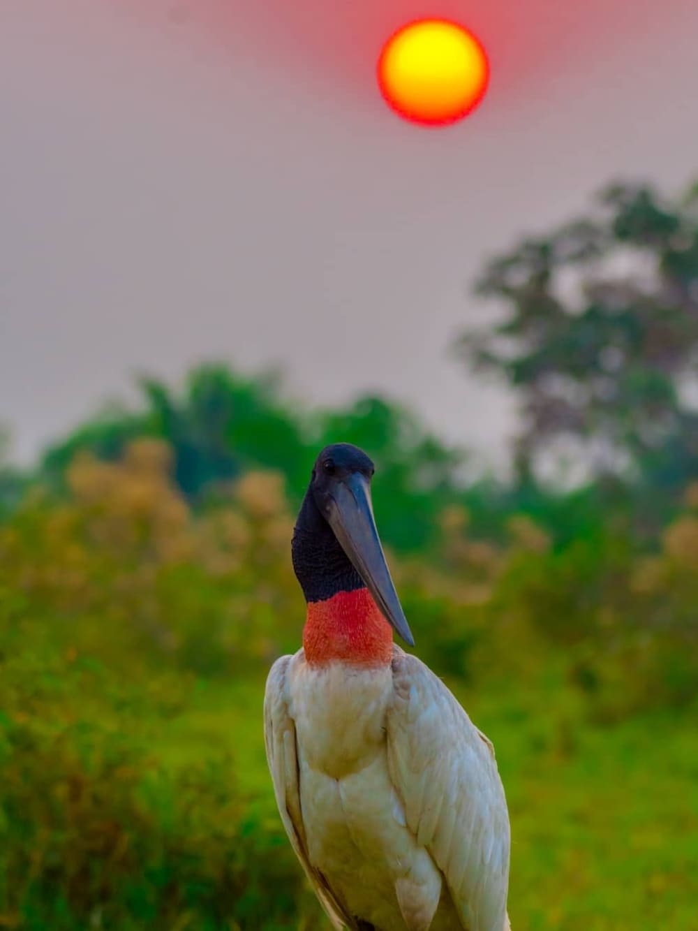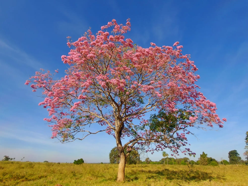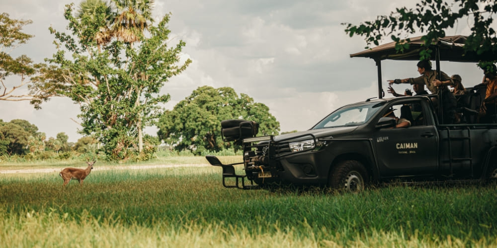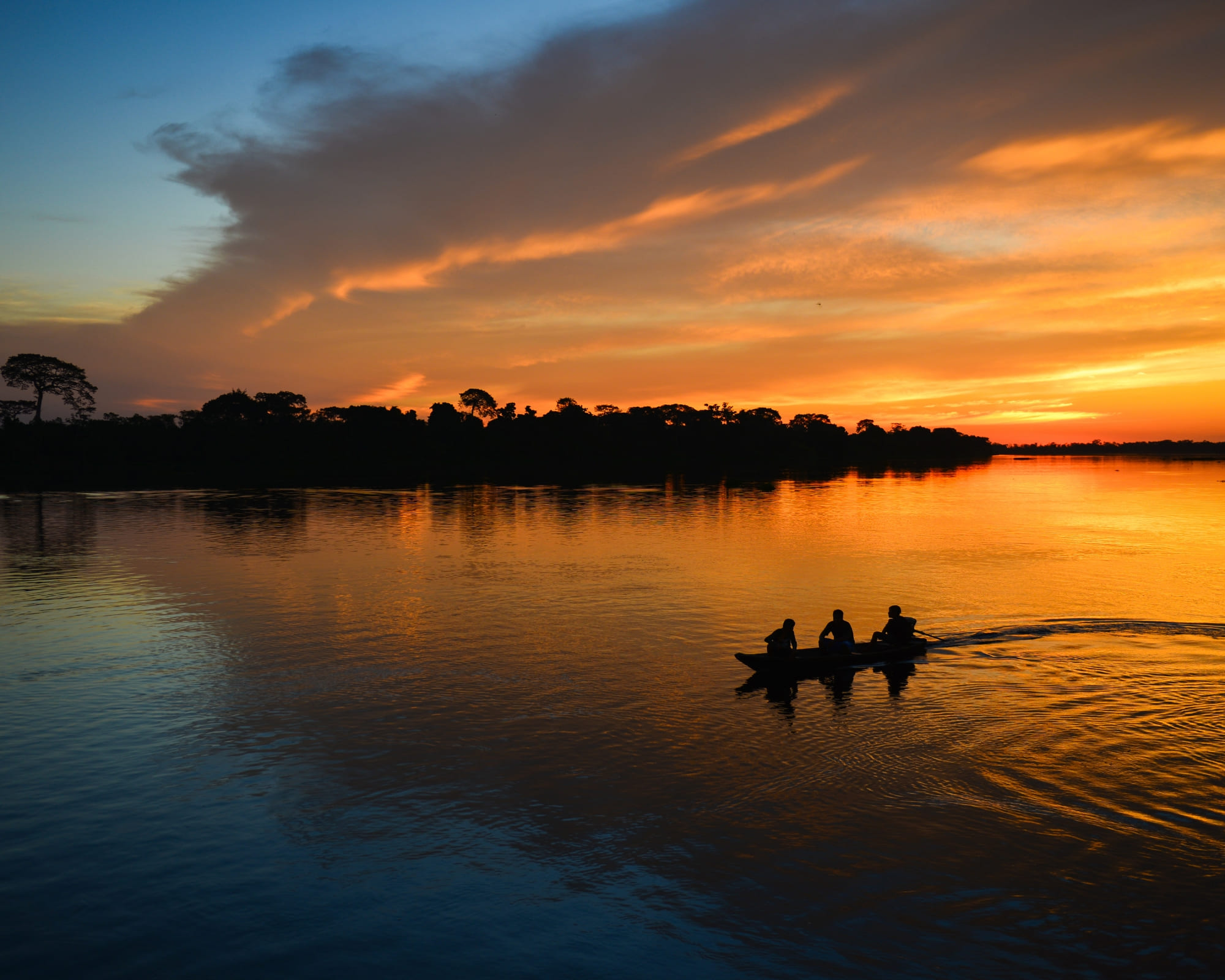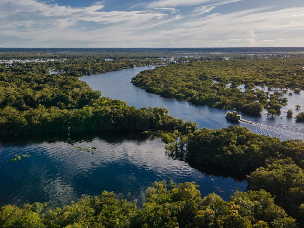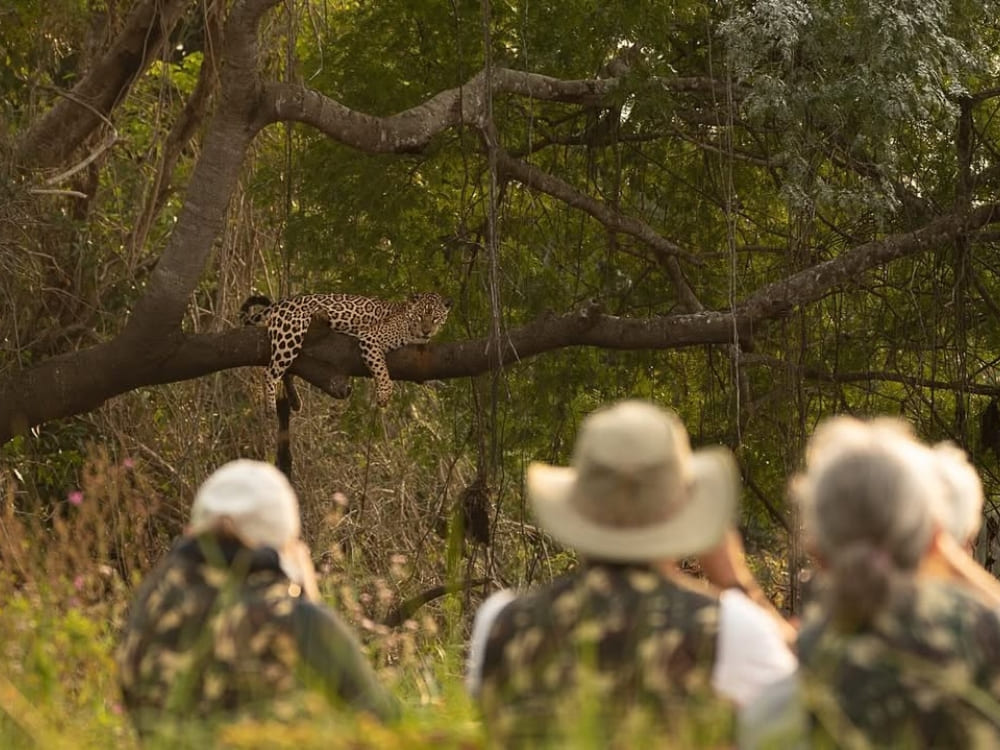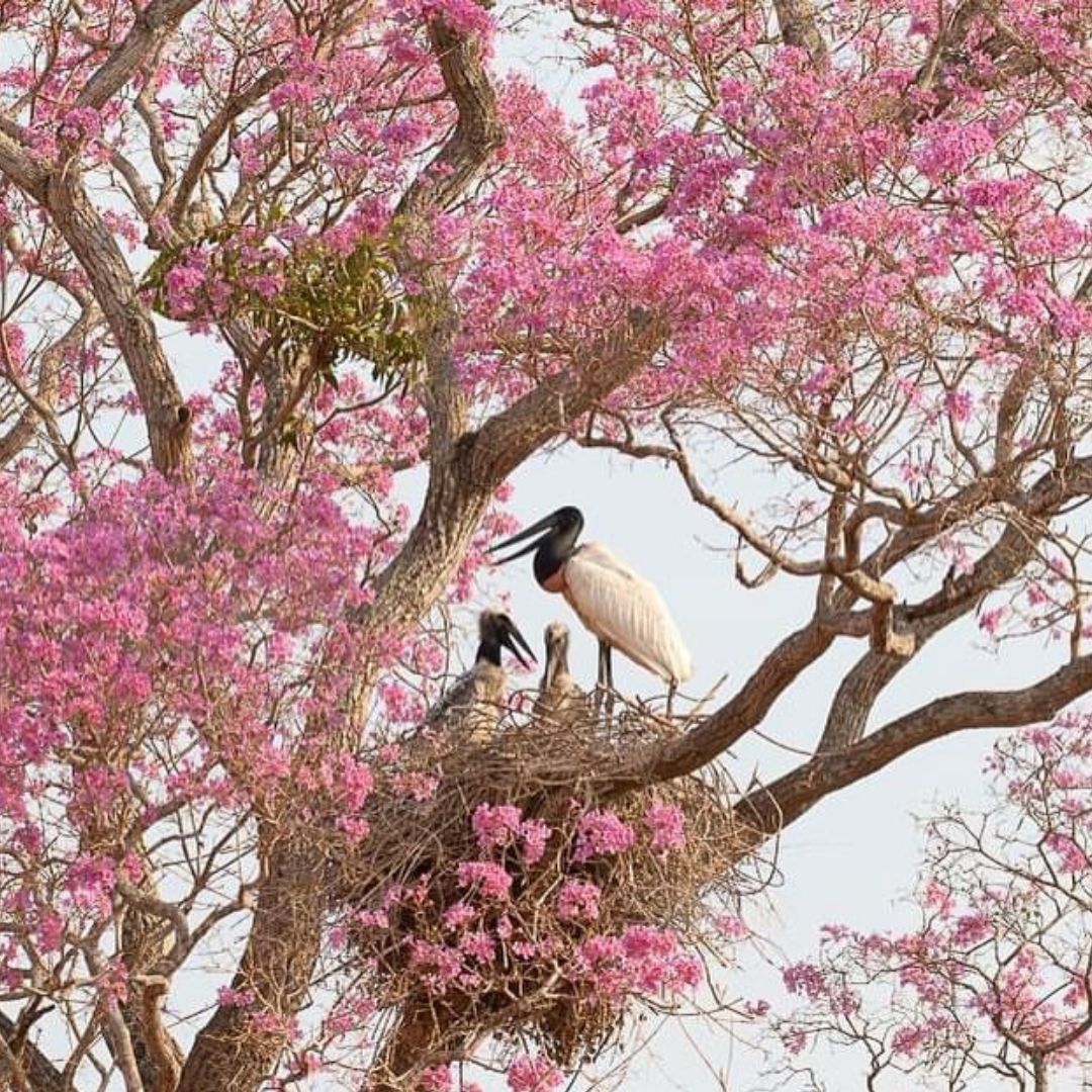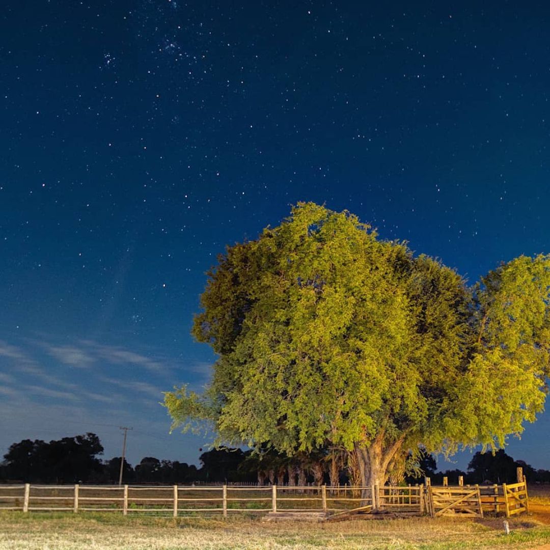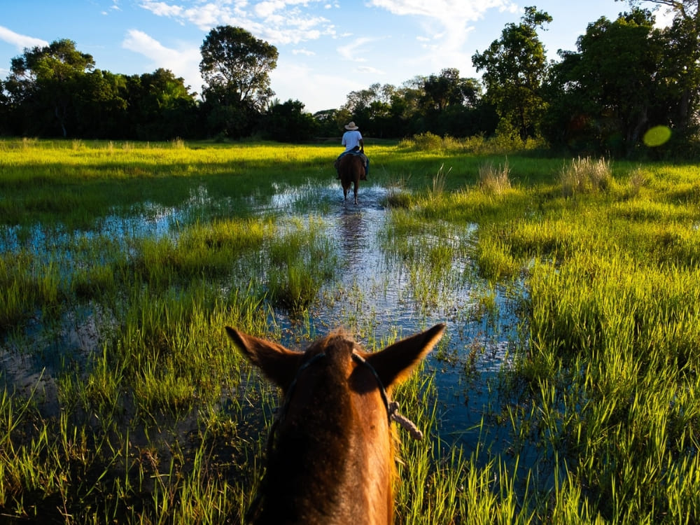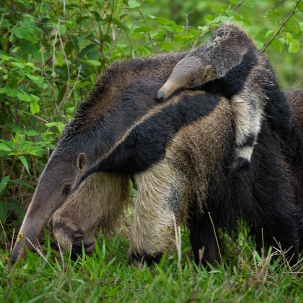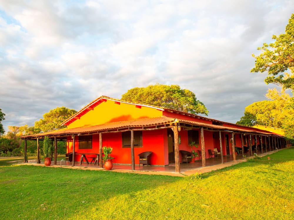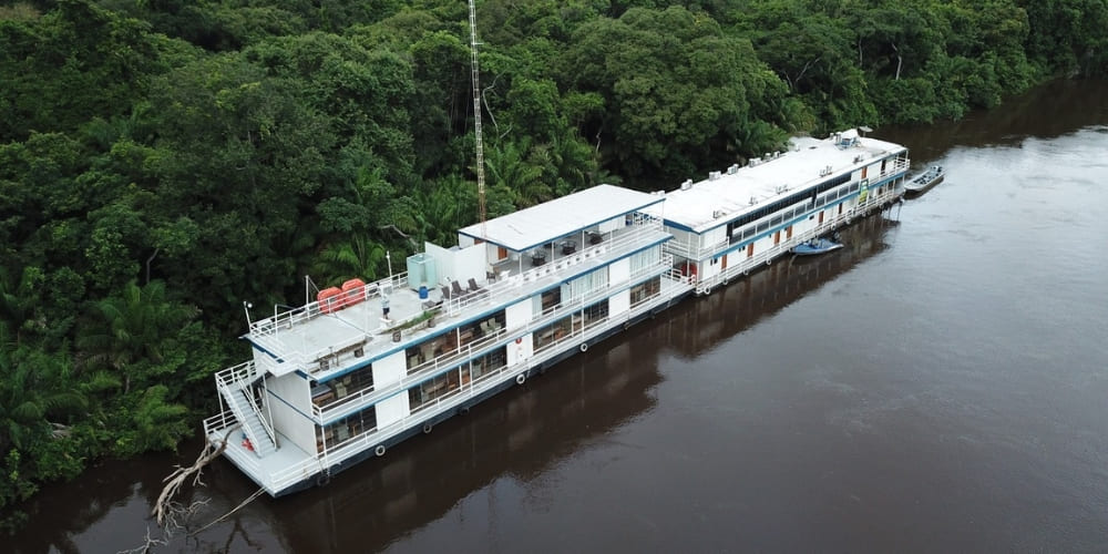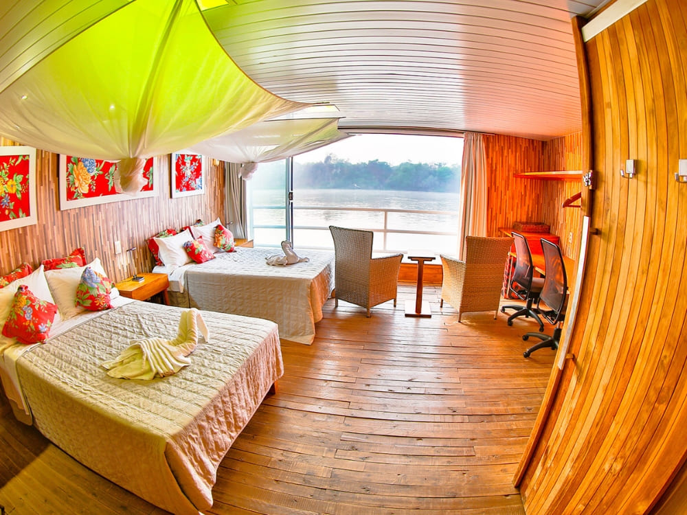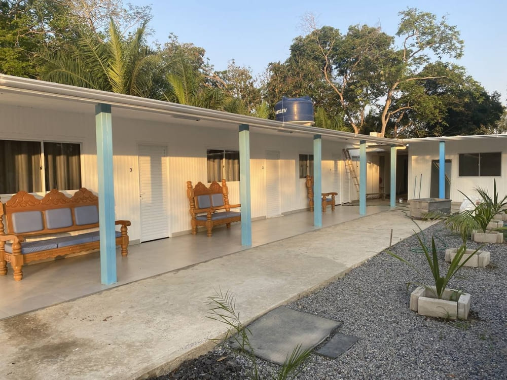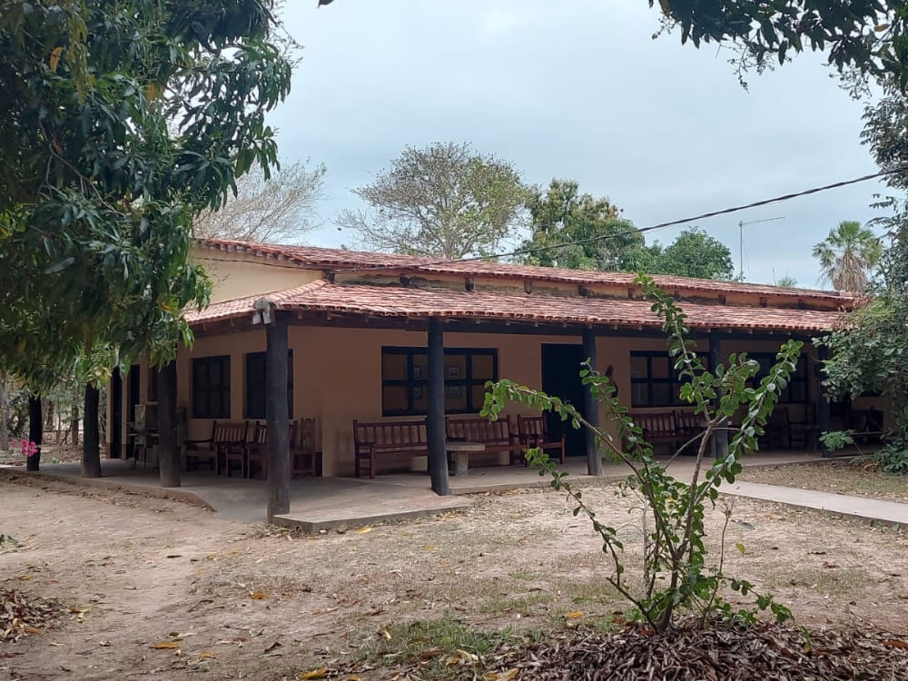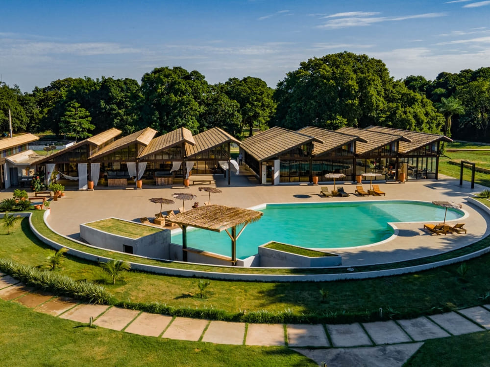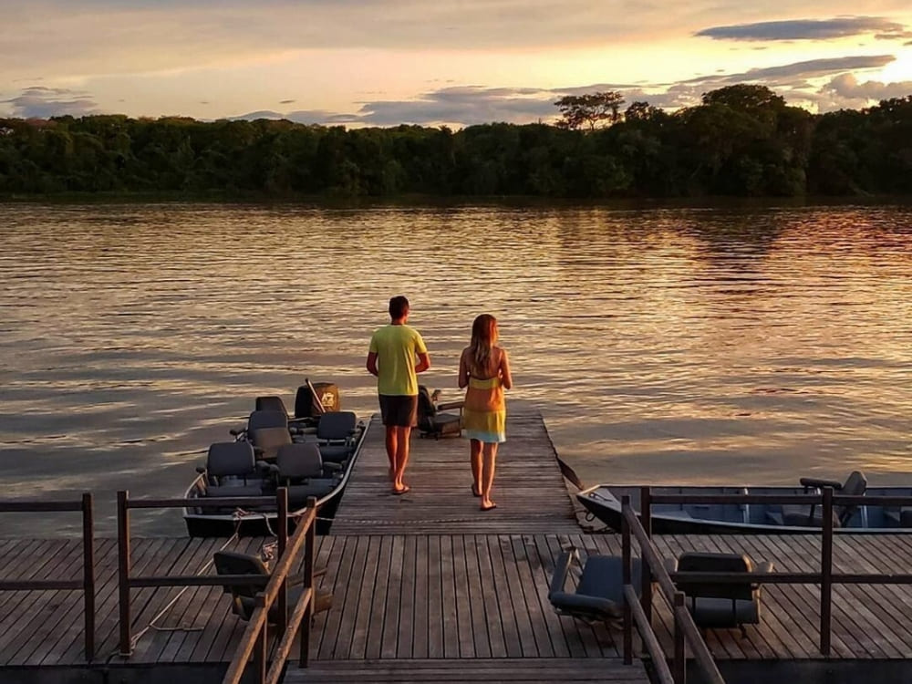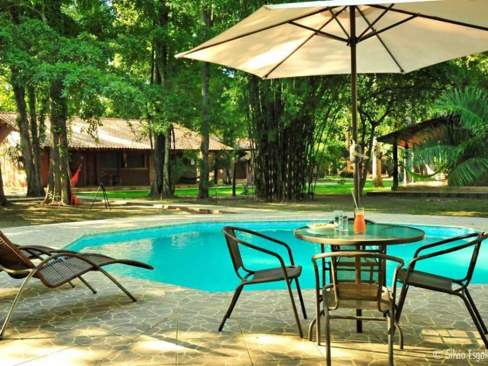
From a scientist’s search for a rare monkey to a lodge that floats on the river itself, here are a few facts about Uakari Lodge, deep inside Brazil’s Mamirauá Reserve
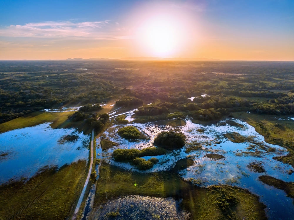
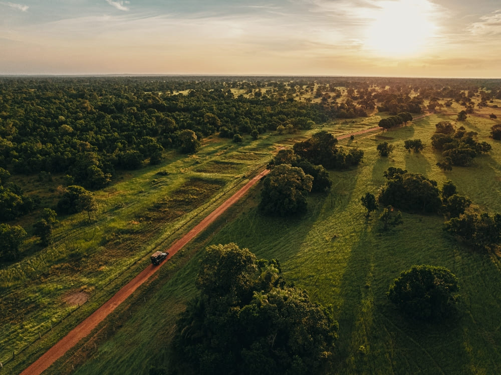
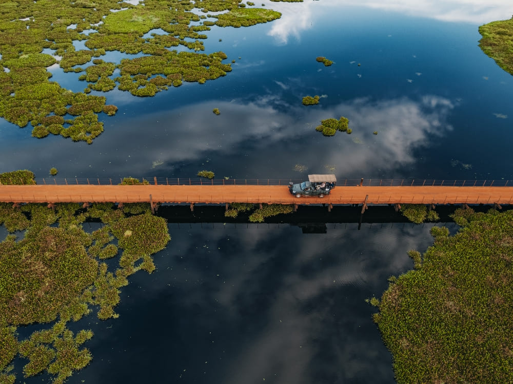
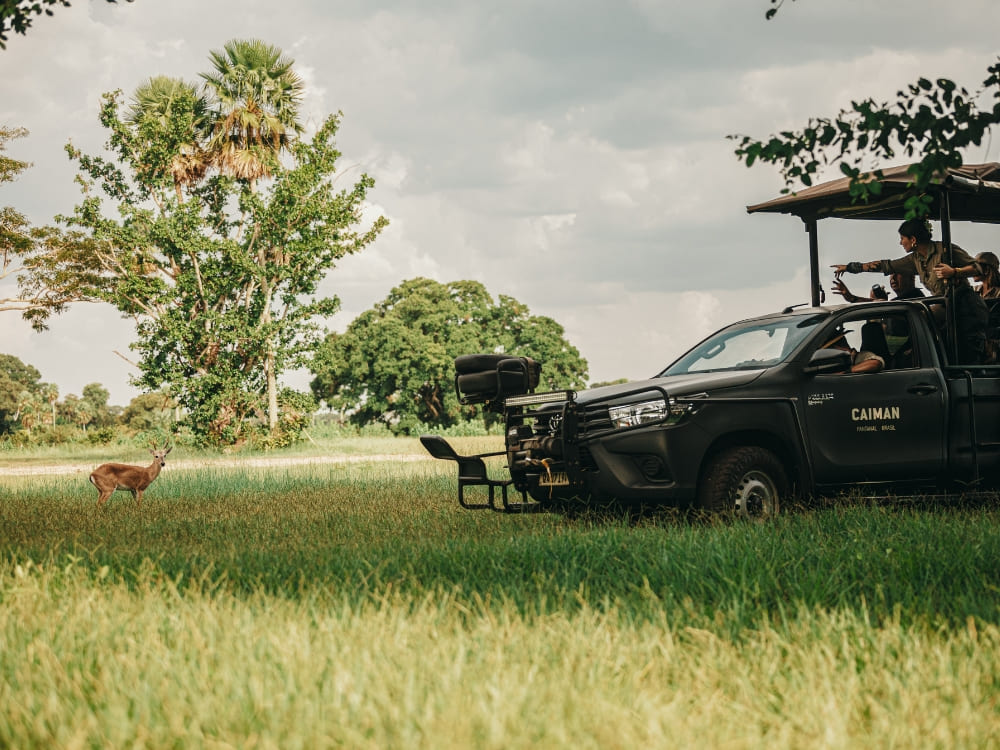
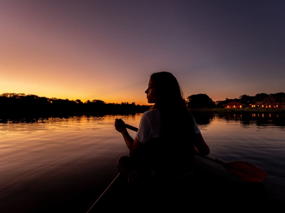
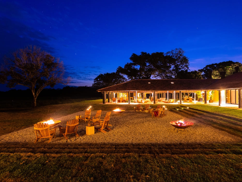
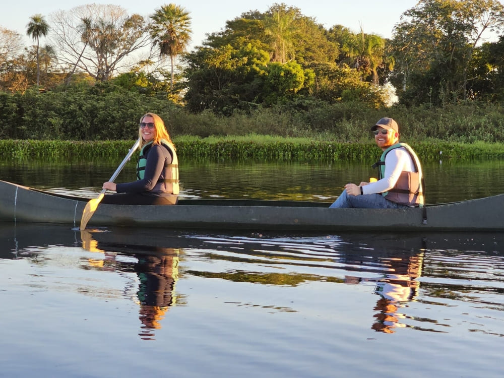
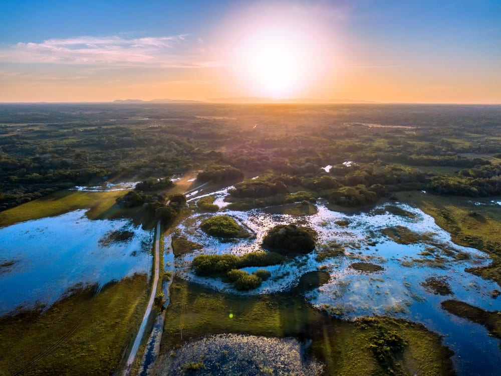
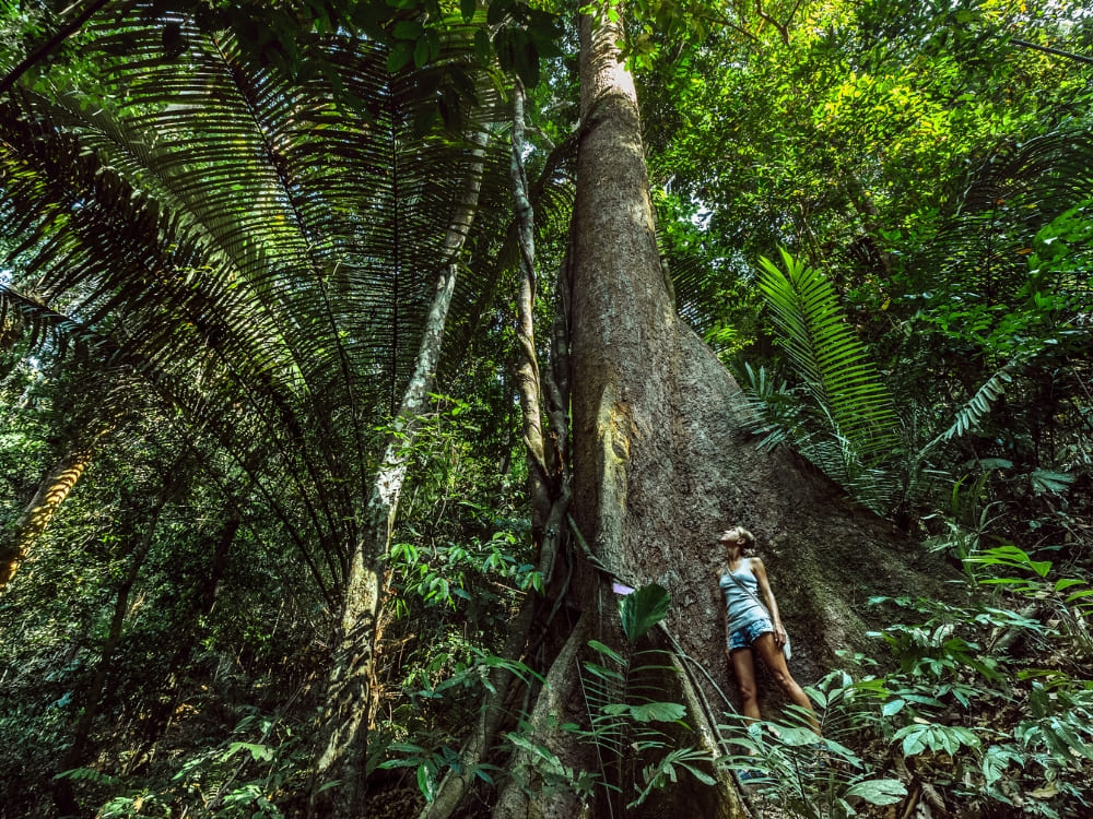
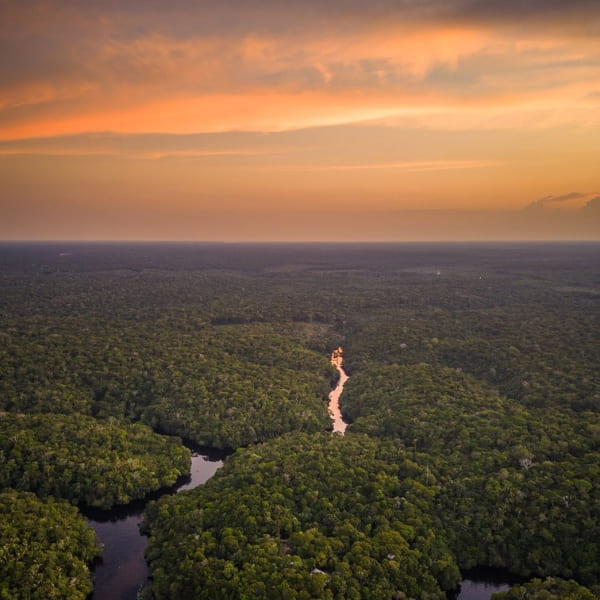
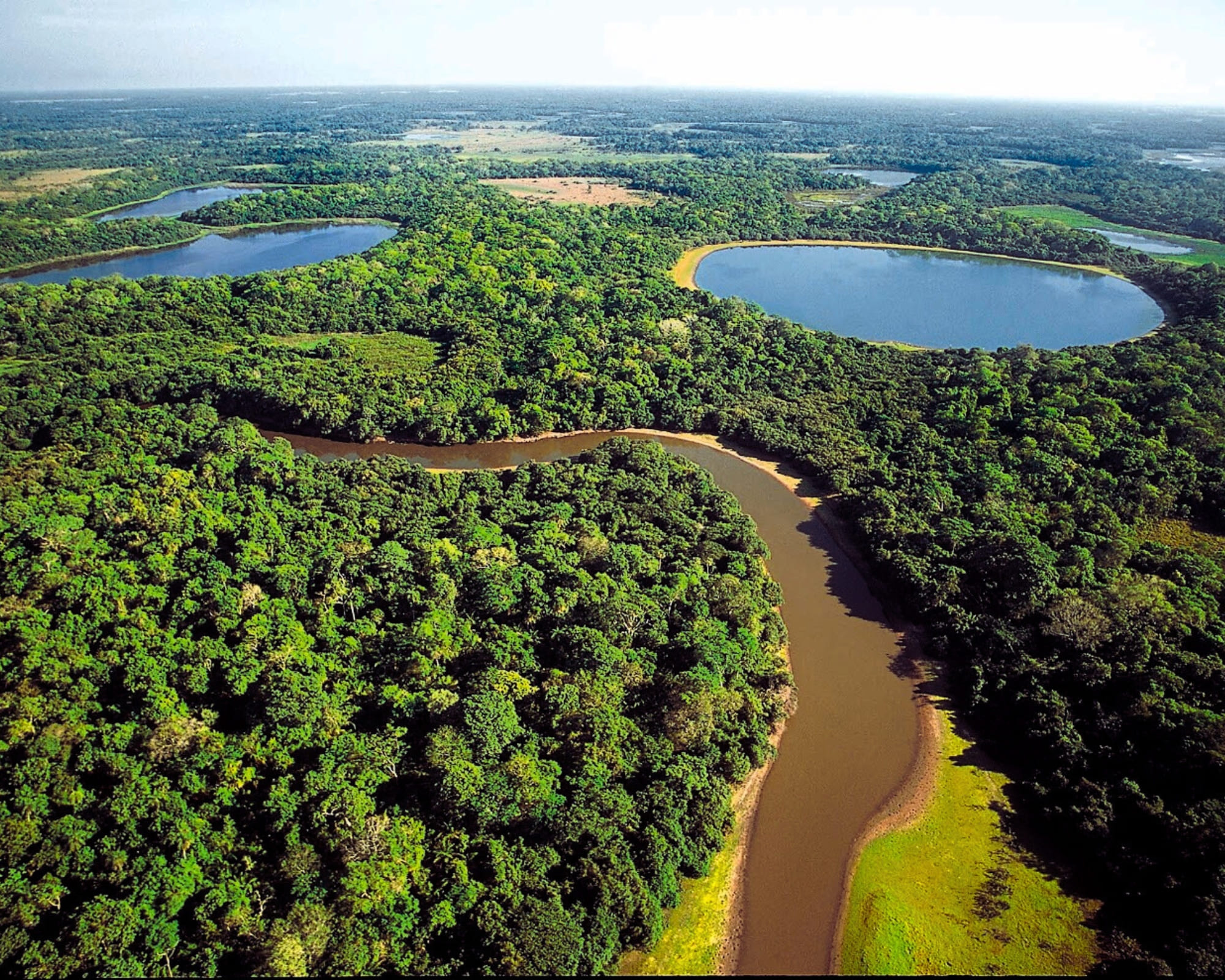
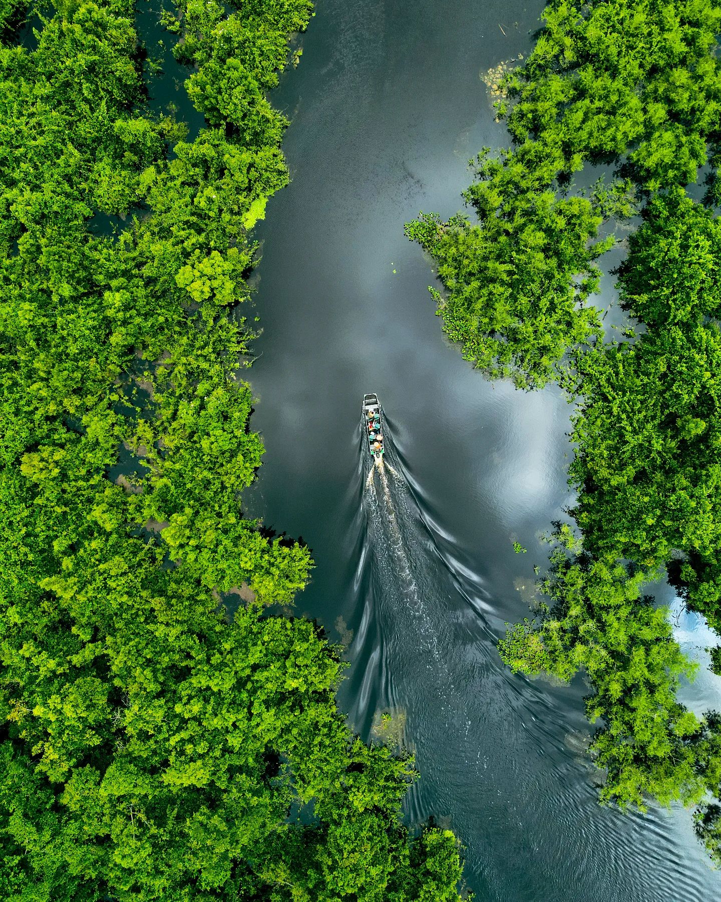
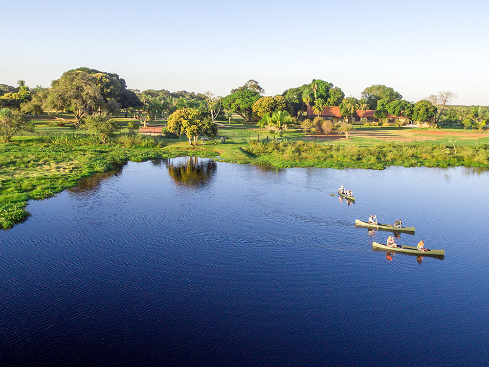
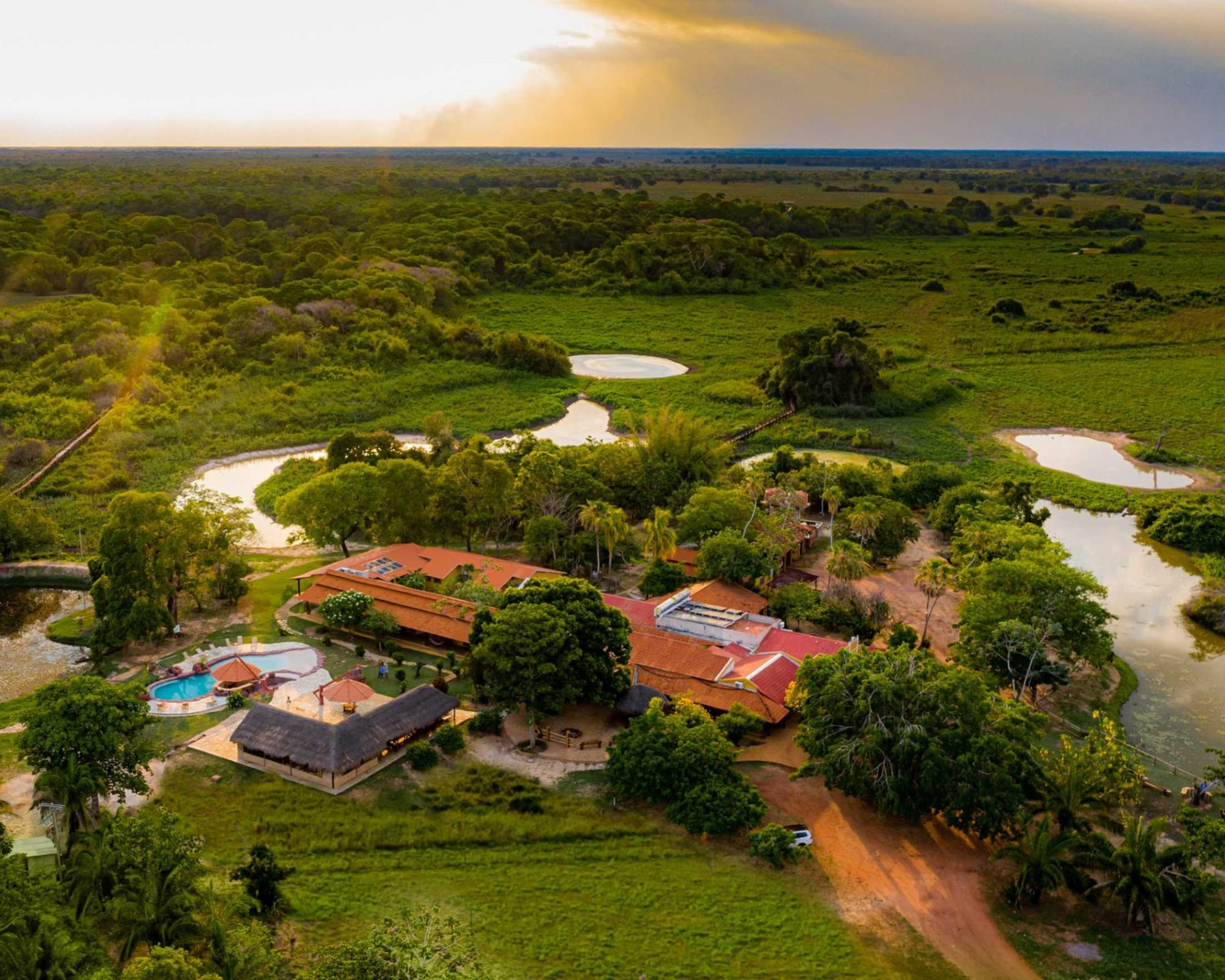
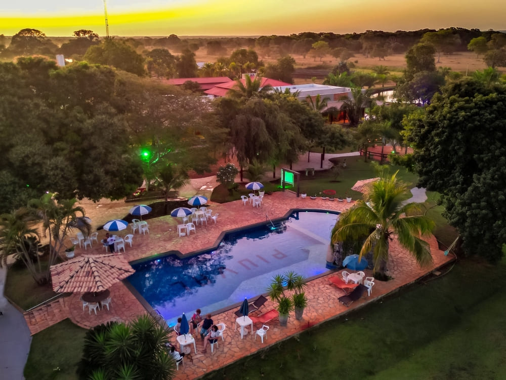
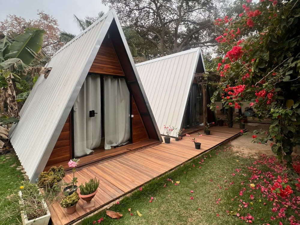
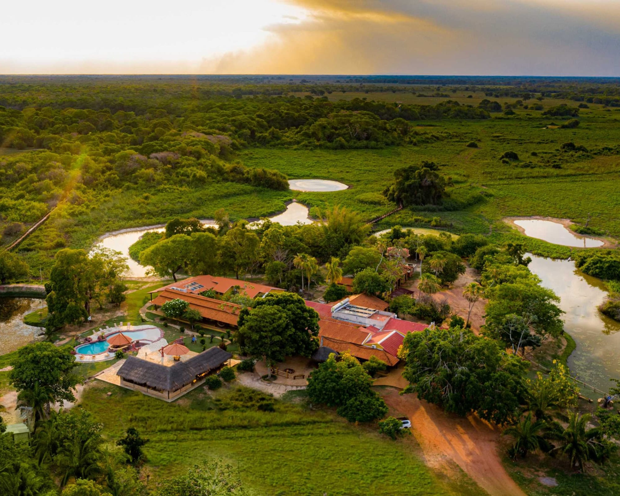
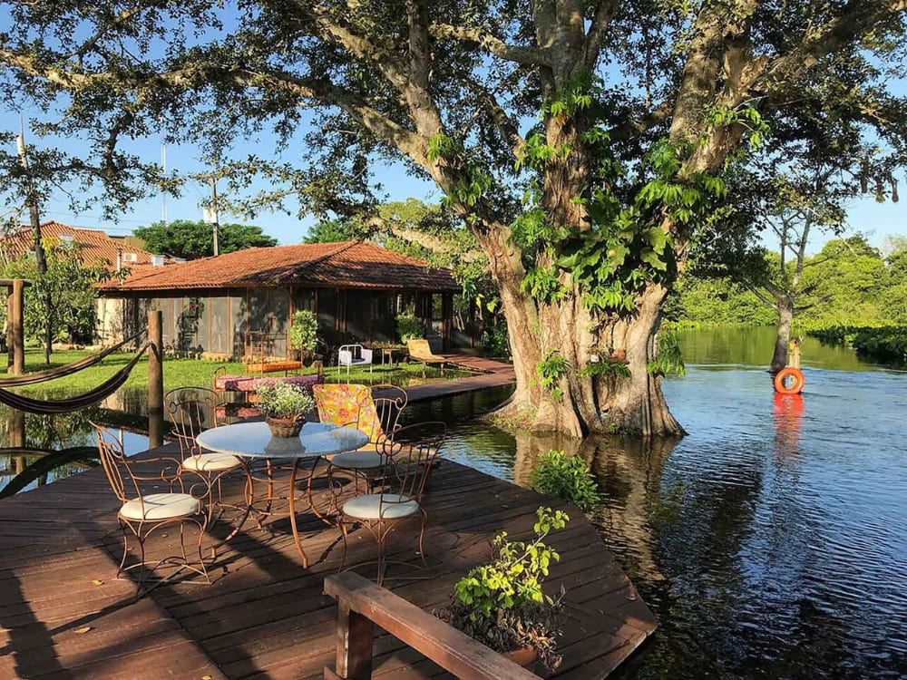
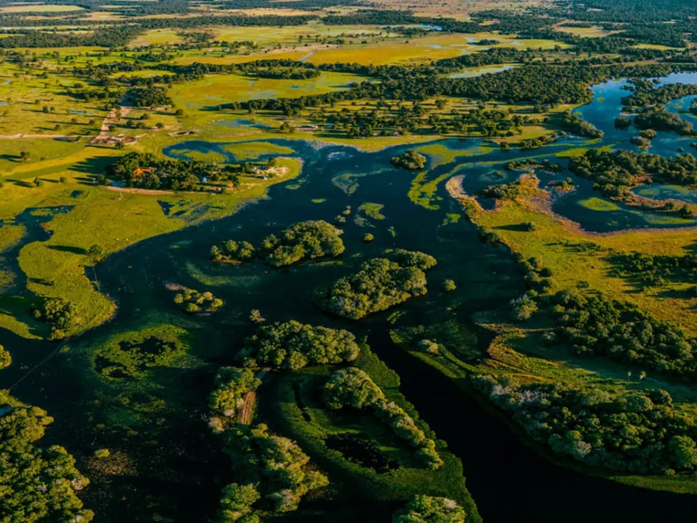
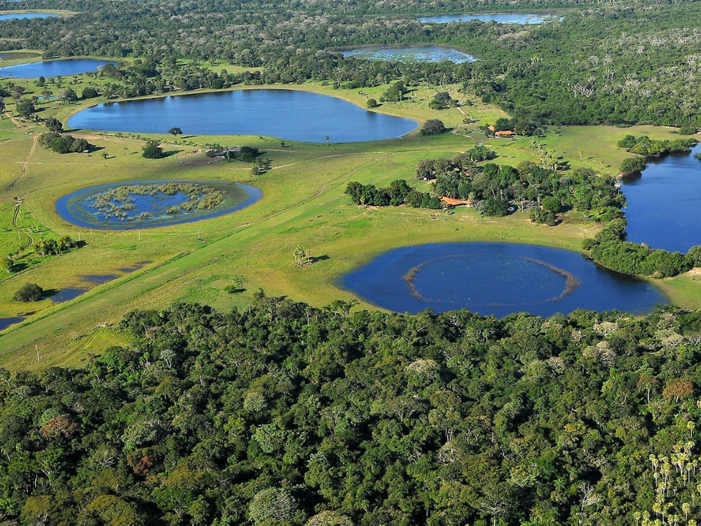
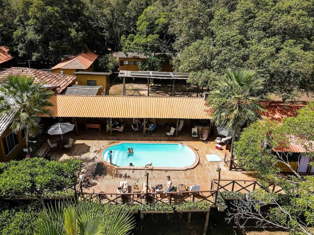
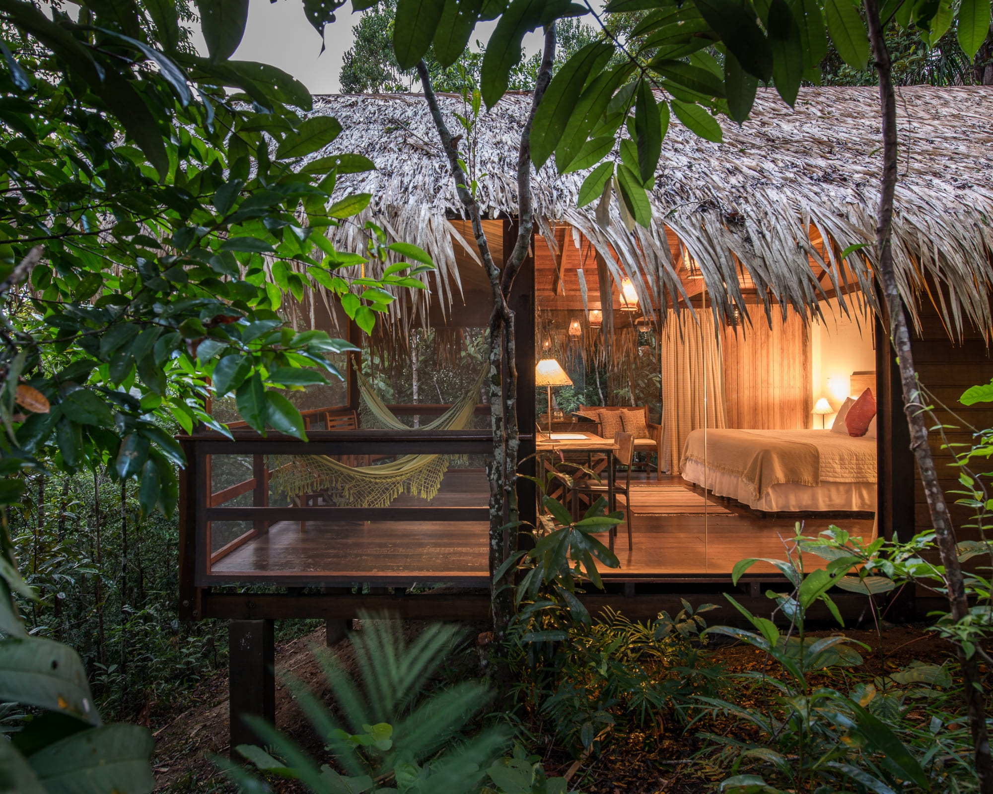
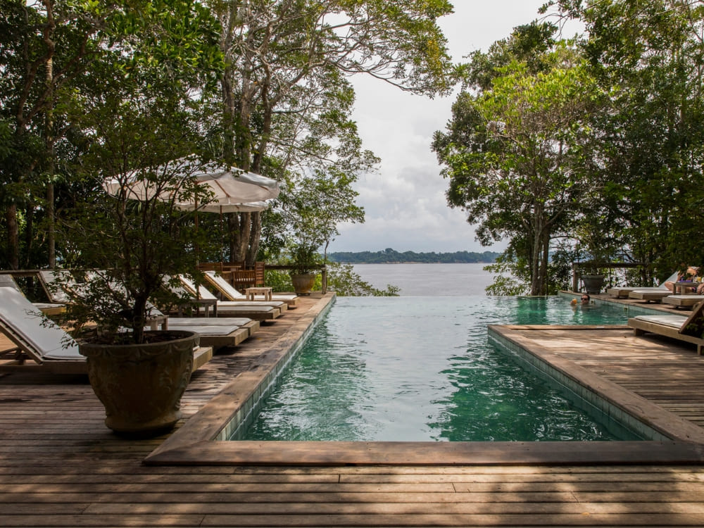
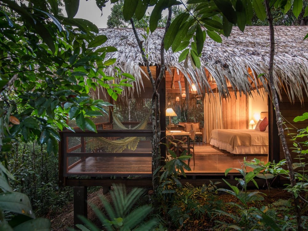
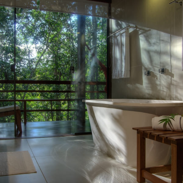
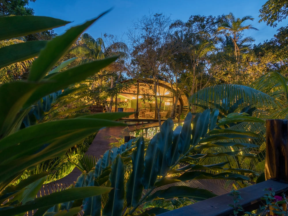
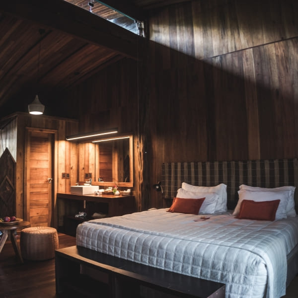
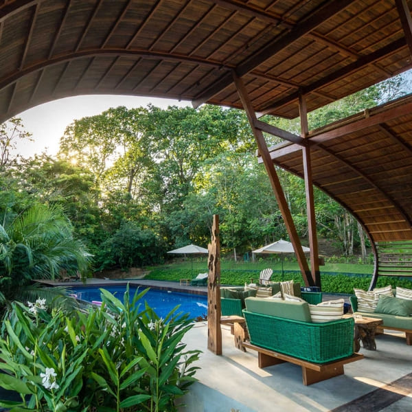
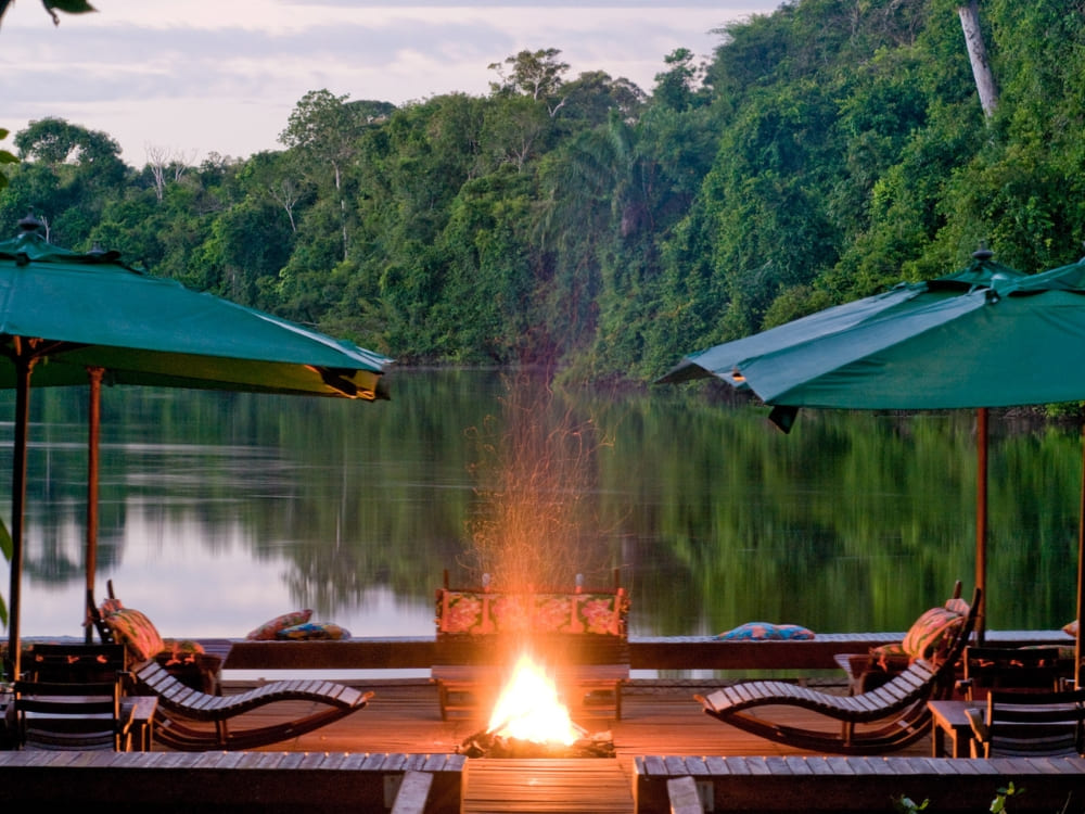
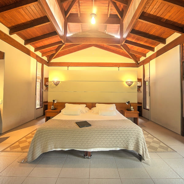
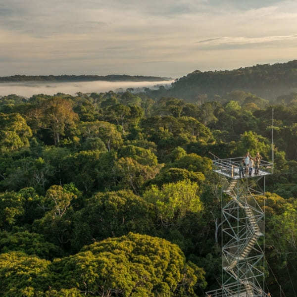
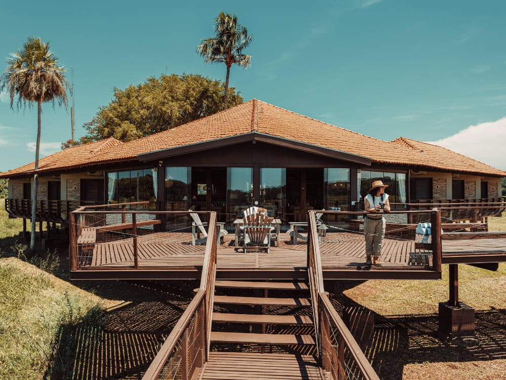
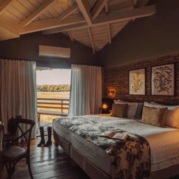
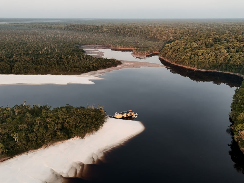
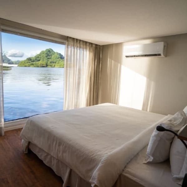
On a stretch of the Solimões River near Tefé, deep in the Brazilian Amazon, sits one of the region’s most unique places to sleep: a lodge built entirely on water. Uakari Floating Lodge sits inside the Mamirauá Sustainable Development Reserve, a 1,124,000-hectare protected area of várzea (flooded) forest, and rises and falls with the river by as much as 12 meters a year.
Named after the striking, red-faced monkey that calls this forest home, the lodge has operated for close to three decades as one of the Amazon’s earliest examples of community-based tourism, co-managed by a federal research institute and the riverside communities who actually live here.
Photo: Gui Gomes
Curious what makes a floating hotel inside a protected reserve worth the trip up the river? PlanetaEXO, an ecotourism platform specializing in Amazon Rainforest tours in Brazil, has put together these 8 facts about Uakari Lodge. Check it out below!
1. Uakari Floating Lodge exists because a scientist went looking for a rare monkey
Brazilian primatologist José Márcio Ayres traveled to the region in the 1980s specifically to study the white uakari monkey, the same animal the lodge is named after, and found the area threatened by unregulated exploitation.
Driven by a vision to safeguard the regional ecosystem, he proposed creating a protected sanctuary in 1985. This initiative spurred the establishment of the Mamirauá Ecological Station in 1986, followed by the founding of the Instituto Mamirauá in 1998, the federal research institute responsible for managing the lodge to this day.
Ayres earned his PhD at Cambridge with a doctoral thesis on uakaris and the Amazon flooded forest, based on fieldwork near Tefé. Uakari Lodge emerged directly from this research around 1998, expanding upon a floating research laboratory operated by the Institute within the reserve. For nearly 30 years, the lodge has hosted visitors while continuously reinvesting tourism revenue into local community projects.
2. Floating foundations built from one of the Amazon’s lightest trees
Uakari Lodge does not sit on stilts like most riverside builds; it actually floats.
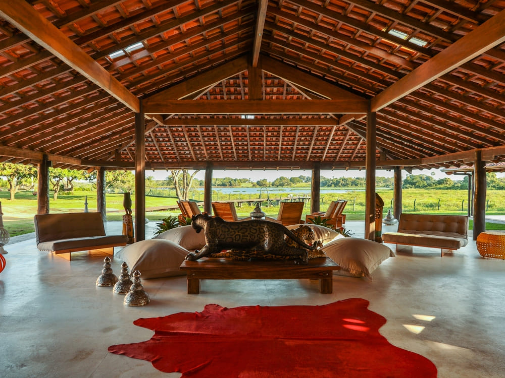
The structures rest on massive logs of assacu (Hura crepitans), a native Amazon tree that can grow over 30 meters tall and has an unusually low wood density (around 0.36–0.38 g/cm³), light enough to keep an entire building buoyant on the river.
The design itself came from inside the reserve, developed jointly by researchers at the Instituto Mamirauá and AAGEMAM, the local riverside guides’ association, applying traditional Amazonian floating-construction knowledge to a modern guest lodge.
3. Run by a research institute and the local community
Uakari Floating Lodge is owned by the Instituto Mamirauá, formally founded in 1999 as a federal research body linked to Brazil’s Ministry of Science, Technology, and Innovation.
Day to day, it is co-managed with AAGEMAM, the association representing the reserve’s riverside communities, giving local people a direct stake in how their own protected area receives visitors.
This environmental protection is backed by significant institutional recognition. Encompassing 1,124,000 hectares of flooded várzea forest where the Solimões and Japurá rivers meet, the Mamirauá Sustainable Development Reserve was recognized as a Ramsar Wetland of International Importance in 1993. Later, in 2003, its Demonstration Area was incorporated into the Central Amazon Conservation Complex, a designated UNESCO World Heritage Site.
4. Pioneering spirit and river levels
Mamirauá became Brazil’s first-ever Sustainable Development Reserve, a protected-area category created specifically for it, when the law establishing it was signed on July 12, 1996.
Unlike blackwater regions, this white-water várzea floodplain experiences extreme seasonal shifts. Water levels fluctuate by approximately 10 to 12 meters from the low-water period (September to November) to the high-water period (May to July), with localized surges reaching up to 16 meters.
The forest around the lodge stays submerged for about four months of the year, which is exactly why Uakari needed to float in the first place.
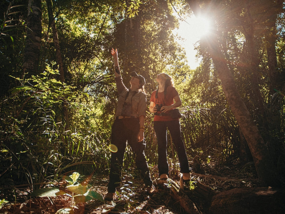
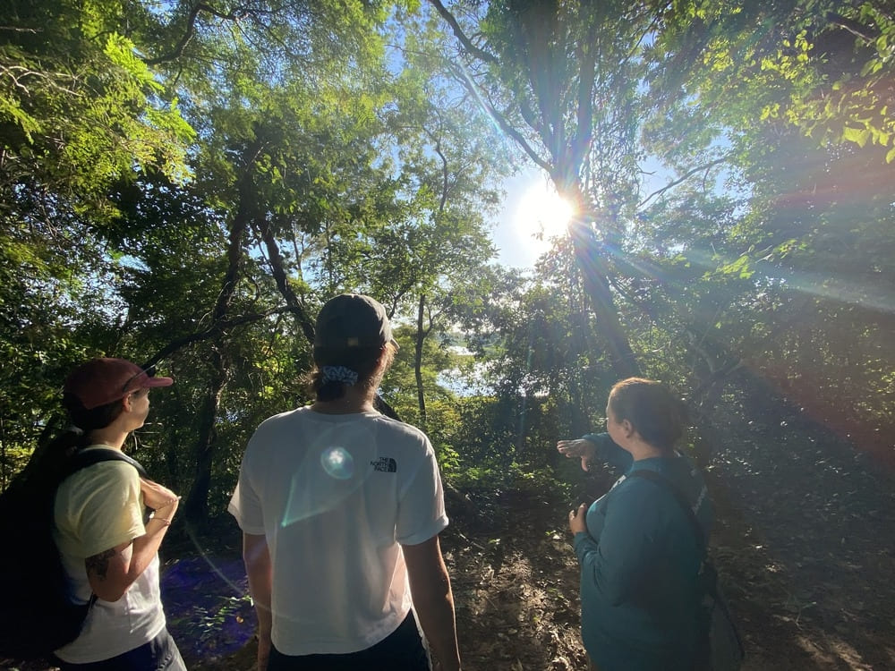
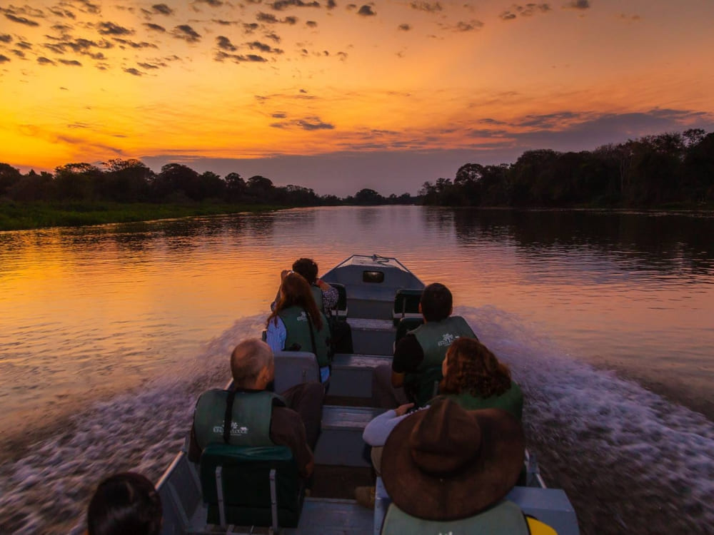
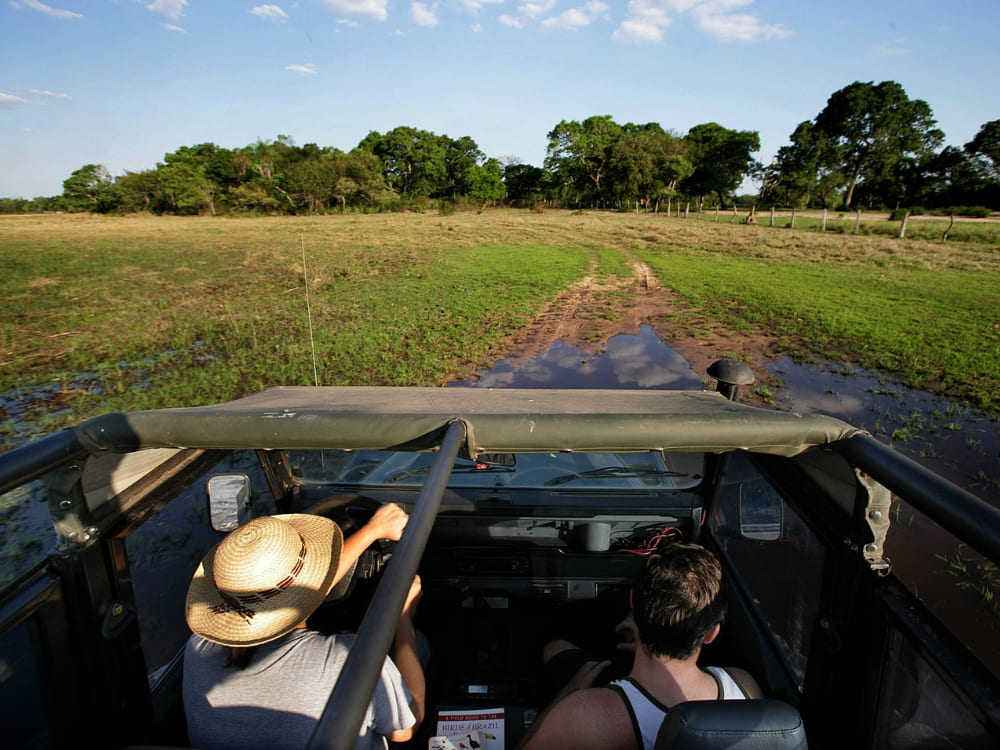
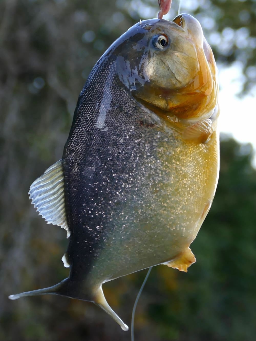
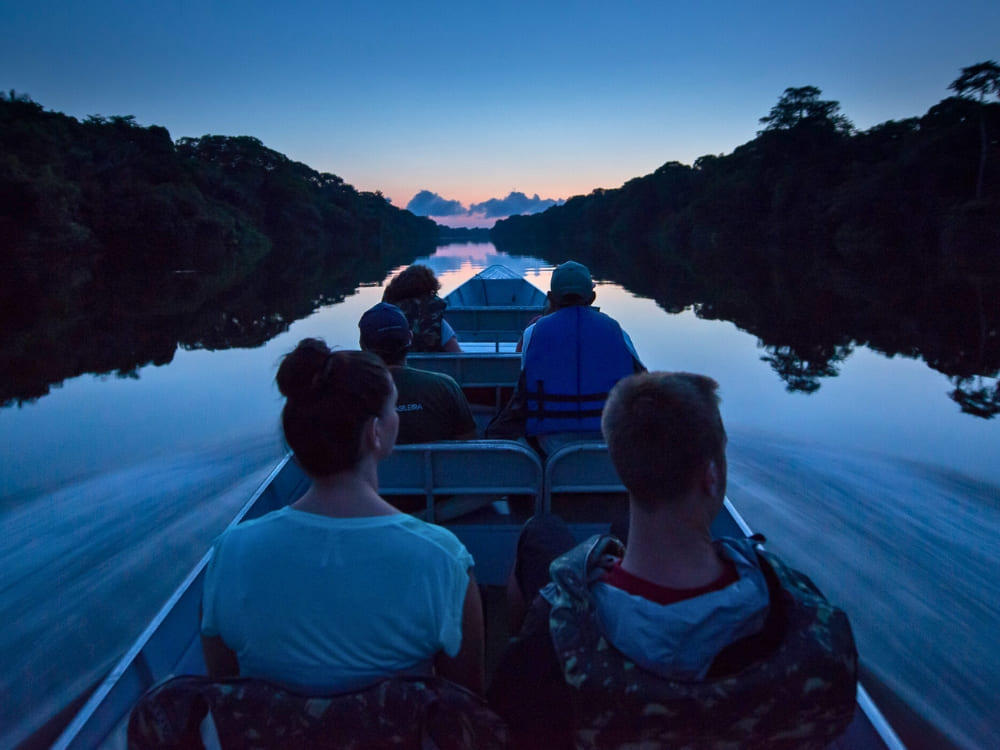
Since there are no roads through a flooded forest, every activity here runs by canoe or small boat, including trips through the flooded forest itself, night walks with caiman-spotting, traditional piranha fishing, pink river dolphin sightings, and a guided visit to one of the reserve’s own riverside communities.
Uakari Floating Lodge offers stays of 3, 4, or 7 nights, plus a dedicated 4-night birdwatching program for travelers chasing the reserve’s bird list specifically. Because it is a small, remote operation with just a handful of rooms, the hotel generally asks that children be over 10 years old.
Getting there takes some effort: travelers fly into Manaus, then take a roughly 1-hour domestic flight to Tefé, followed by a boat transfer of about 1.5 to 2 hours to reach the lodge itself.
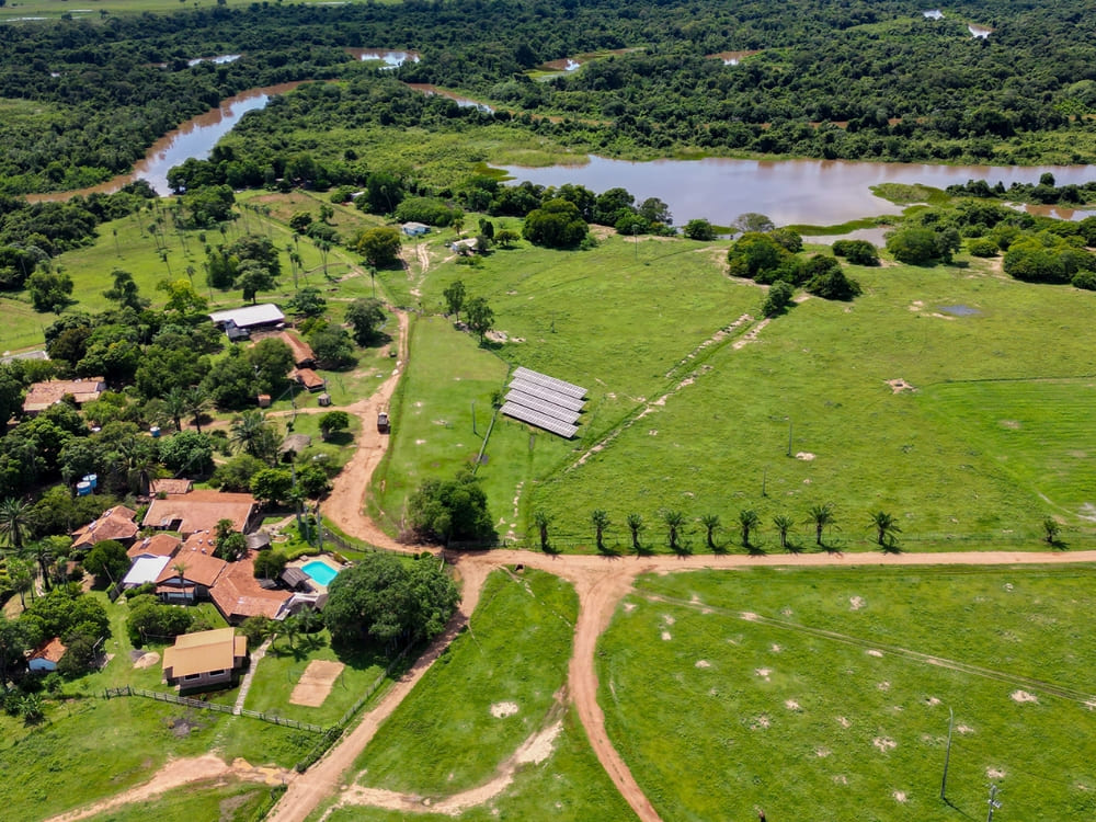
The lodge generates its own electricity from solar power, collects rainwater for guest use, and treats its wastewater before it ever reaches the river.
This commitment to sustainable community impact was globally honored in 2015. Uakari Lodge secured the Silver award for “Best for Poverty Reduction” at the World Responsible Tourism Awards, a distinction shared with only two other international finalists, celebrating a model designed to directly direct economic benefits back to local villages.
Photo: Gui Gomes
7. One of the best places on Earth to see the Amazon’s pink river dolphin
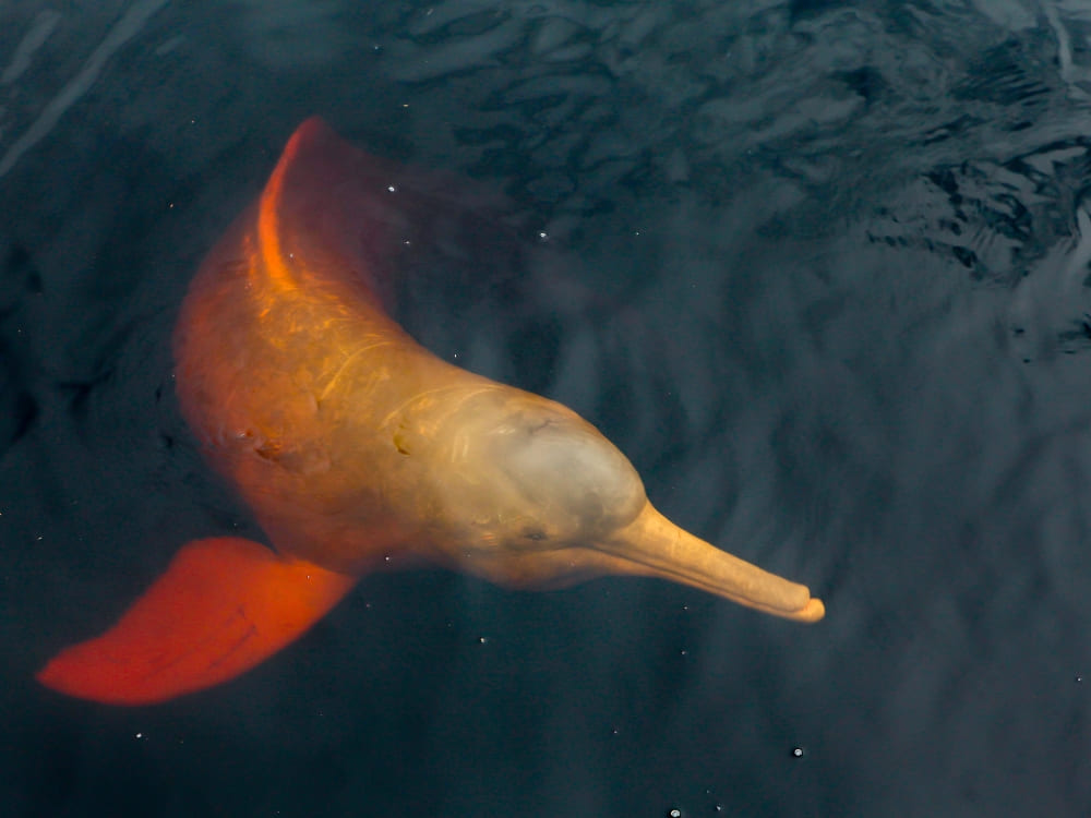
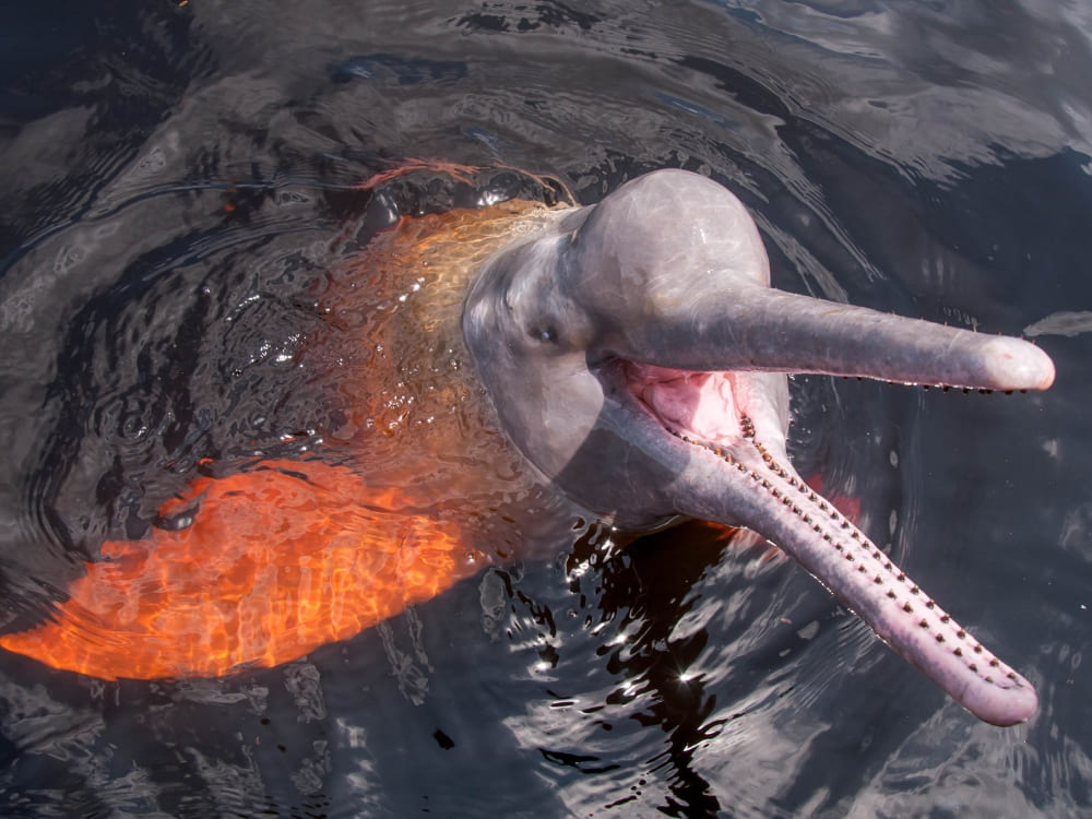
The waters around Uakari Floating Lodge hold some of the highest recorded densities of the Amazon pink river dolphin (boto-cor-de-rosa) found anywhere, up to 61 individuals per square kilometer in confluence areas, alongside 64 individuals per square kilometer of tucuxi, the smaller grey river dolphin.
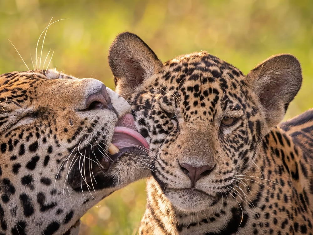
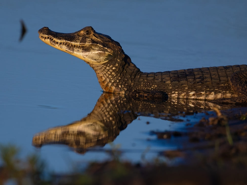
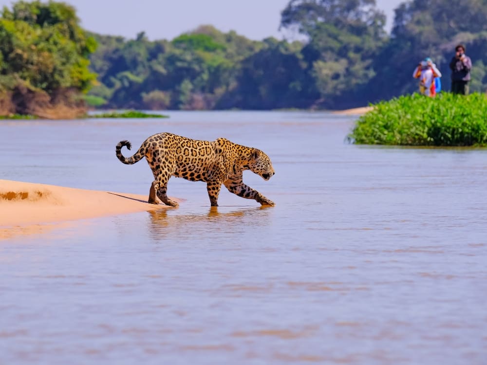
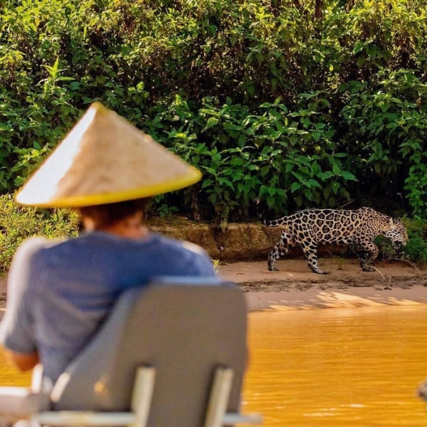
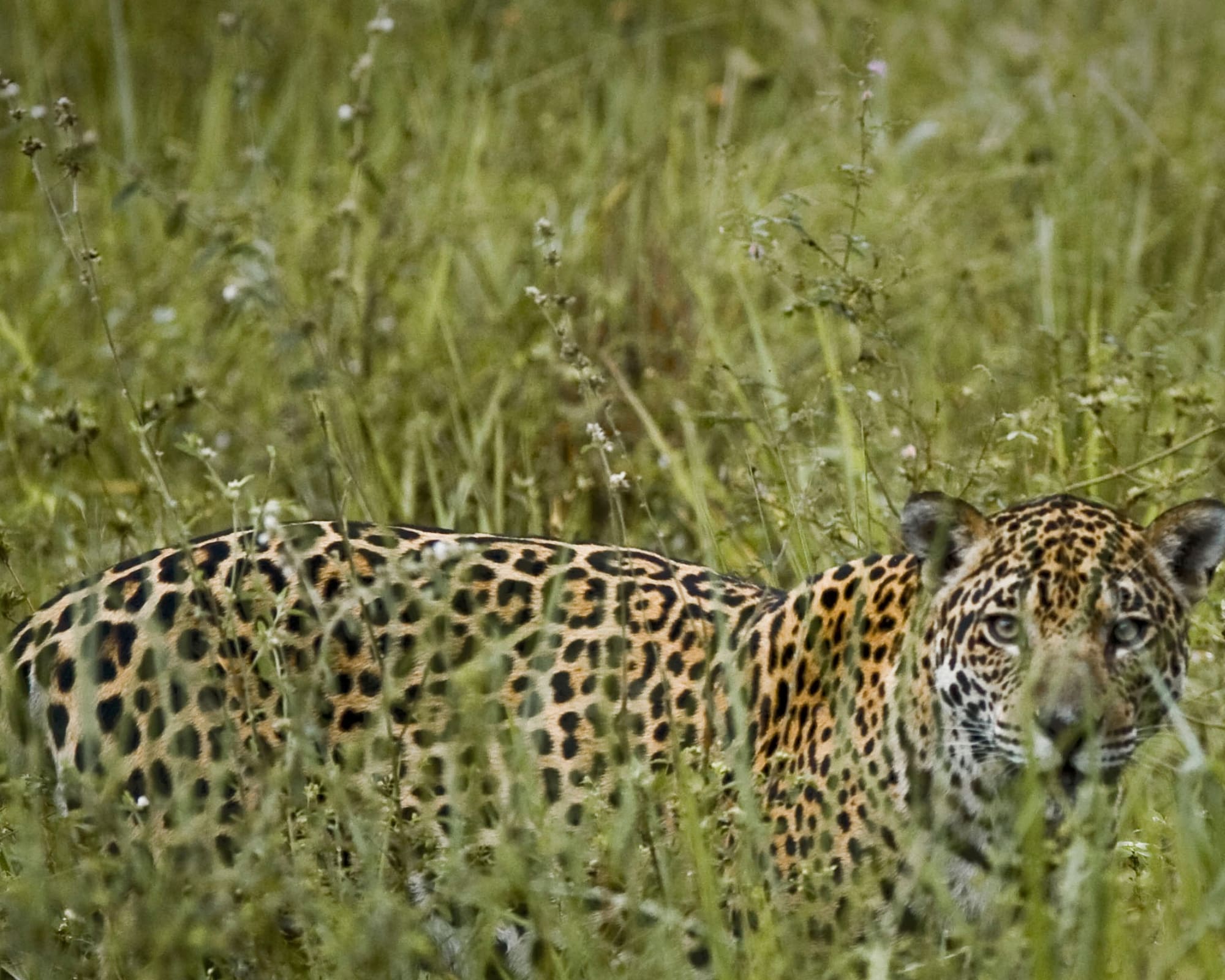
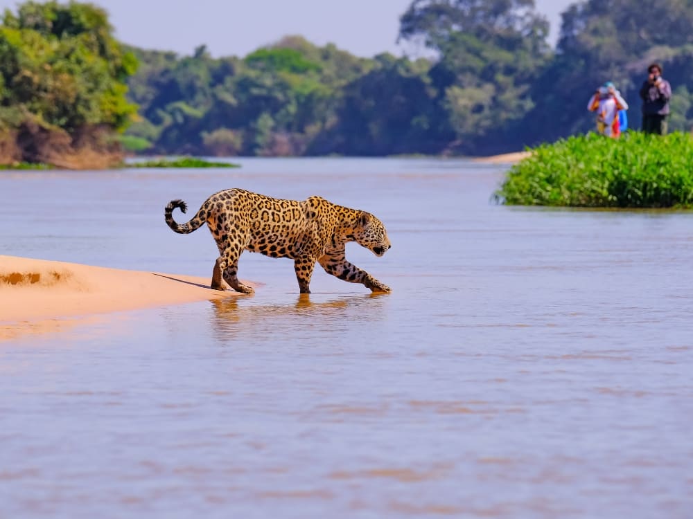
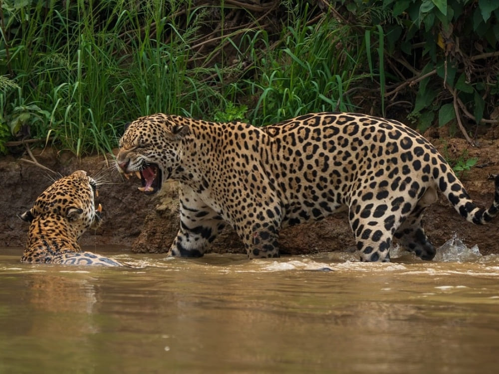
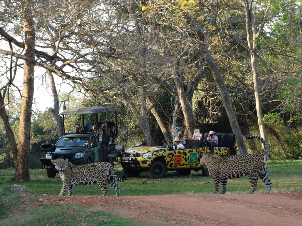
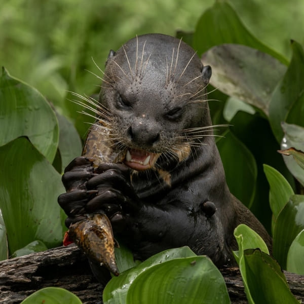
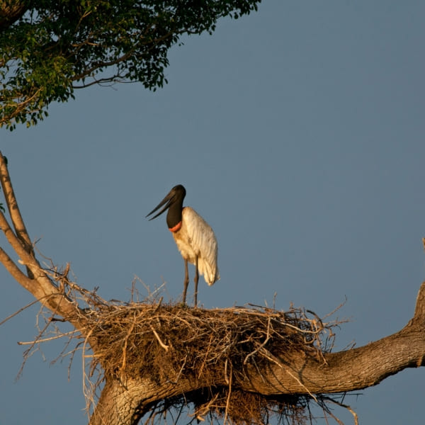
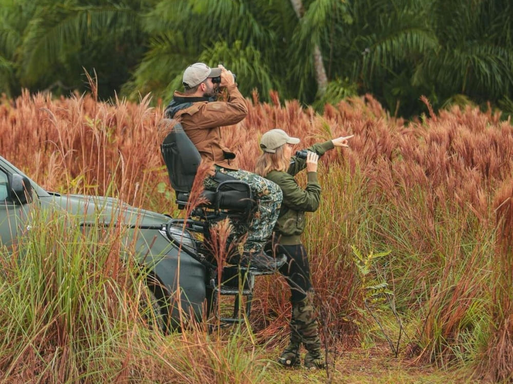
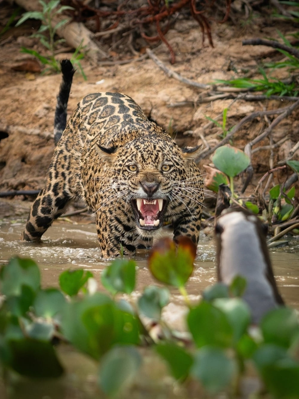
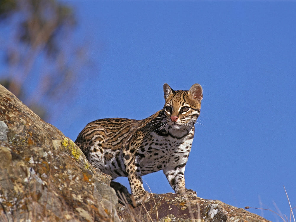
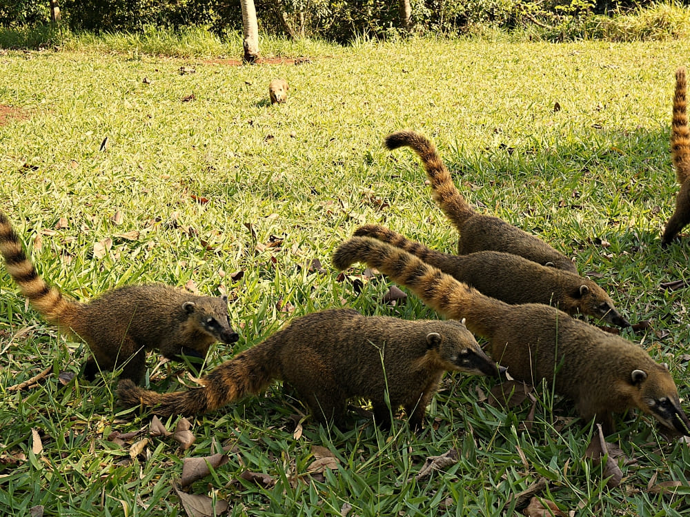
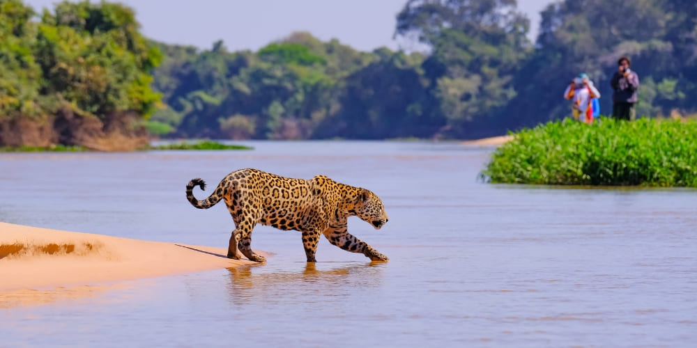
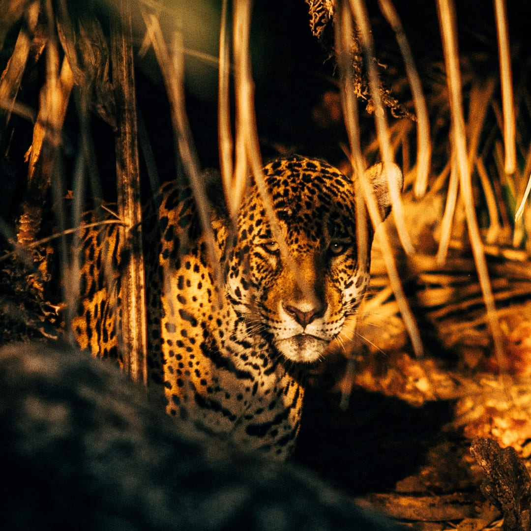
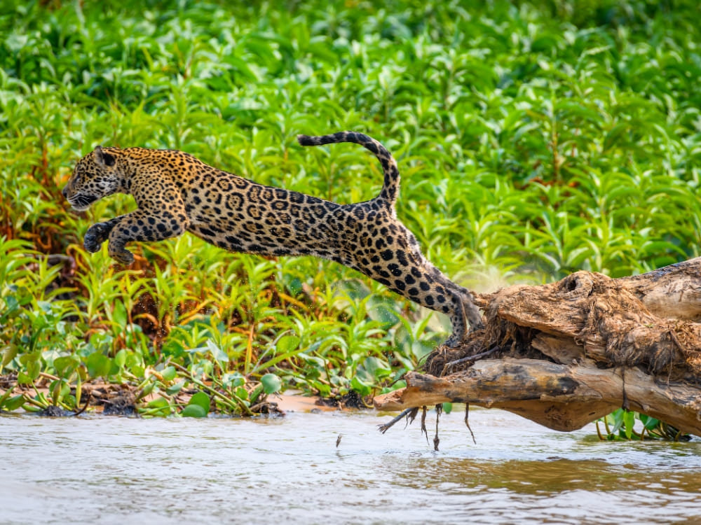
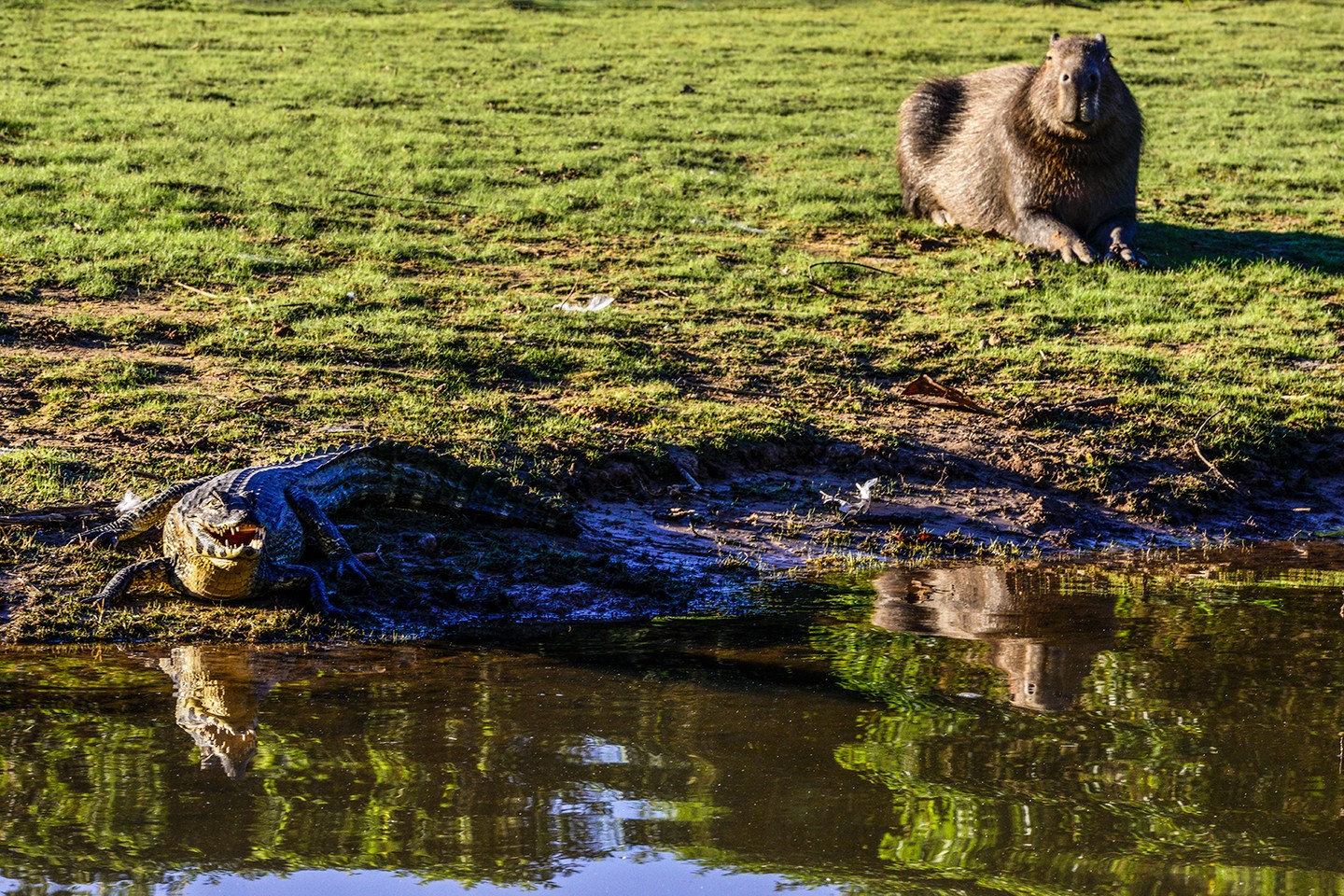
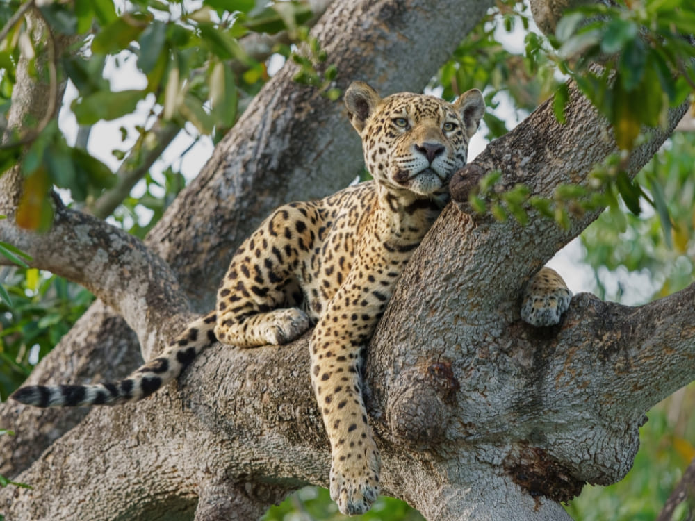
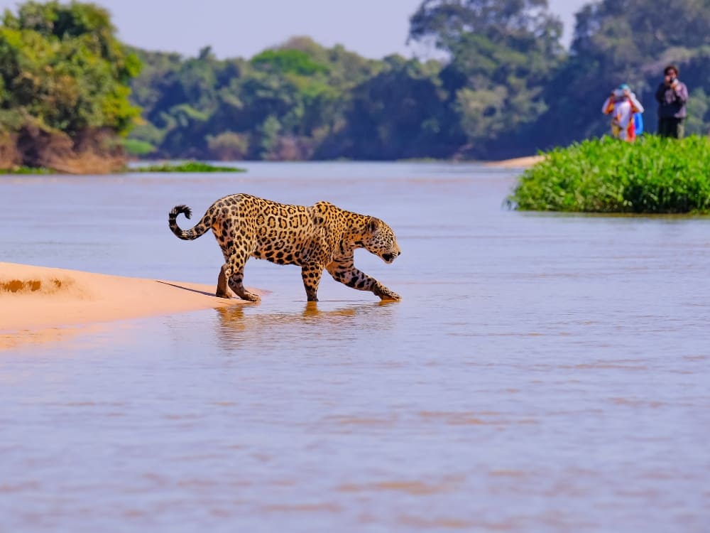
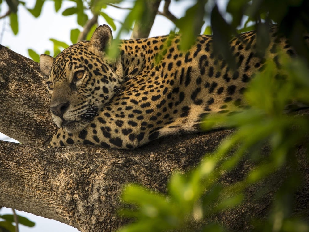
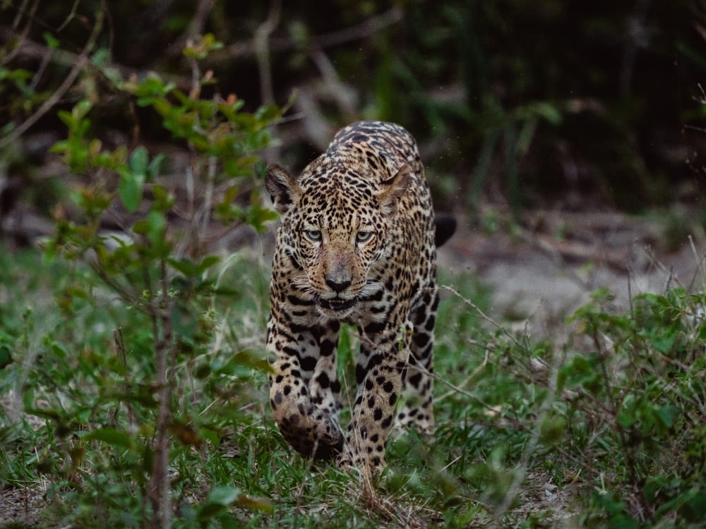
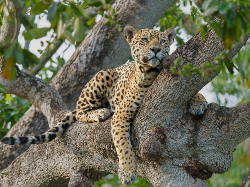
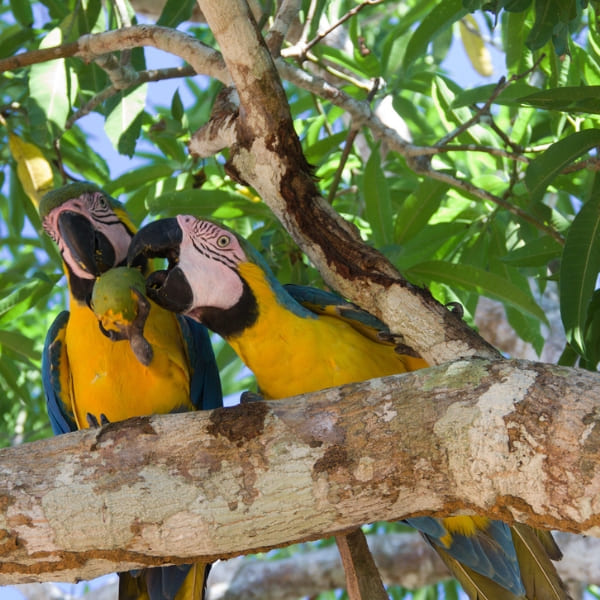
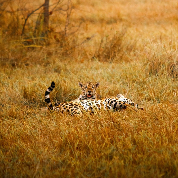
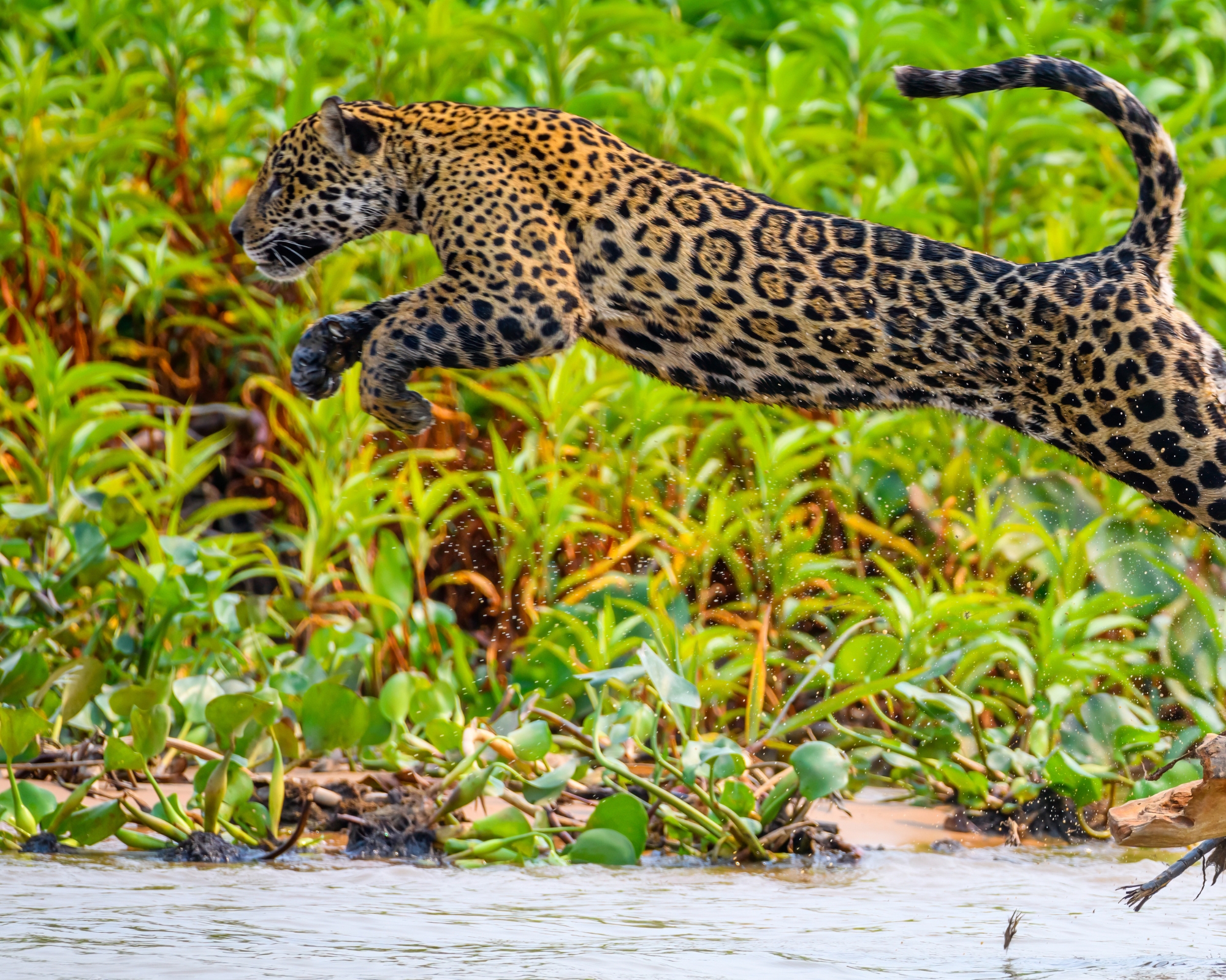
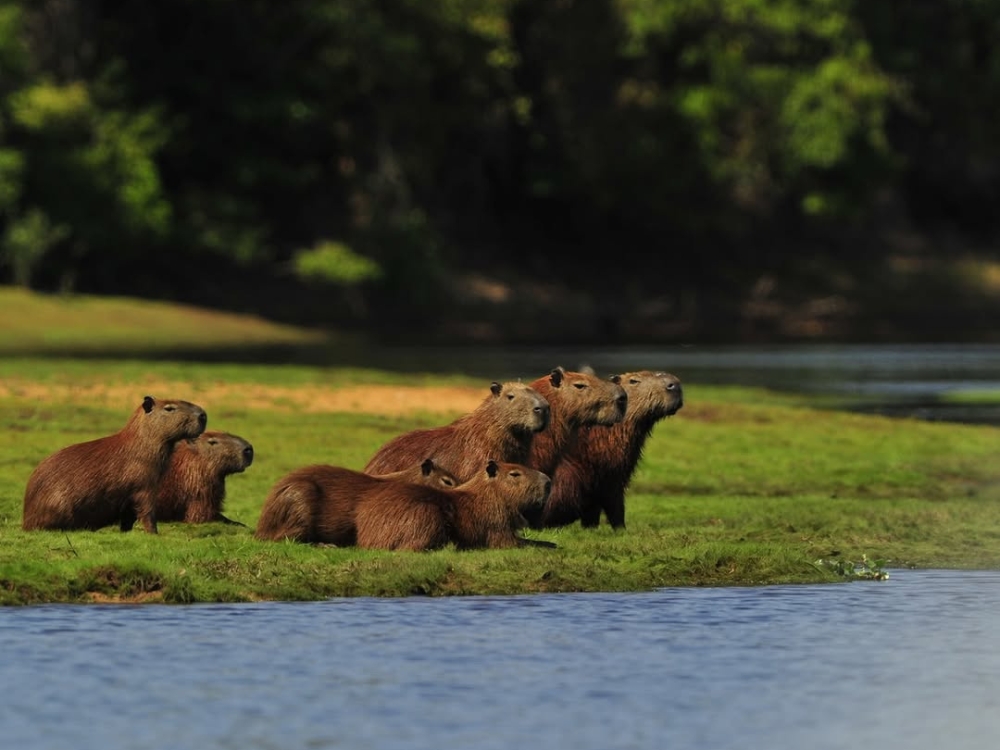
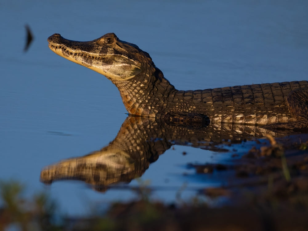
Dolphins are far from the only wildlife on offer. The reserve is also home to jaguars, black caiman, sloths, coatis, and, of course, the lodge’s own namesake, the white uakari monkey, a species found almost nowhere else on the planet.
8. Uakari Lodge helped save one of the Amazon’s biggest fish from disappearing
The Instituto Mamirauá’s participatory pirarucu (Arapaima) management program, developed alongside riverside communities, is one of the best-documented fish-recovery stories in the world.
Through local fisher self-enforcement and stock counts, managed lakes saw the pirarucu population surge from around 2,500 to over 190,500 by 2018, which played a pivotal role in removing the species from Brazil’s endangered list.
The model has since been replicated in other parts of Amazonas state, a direct outcome of the same conservation-through-tourism approach that built Uakari Lodge in the first place.
Now that you know how a scientist’s search for a rare monkey turned into one of the Amazon’s most community-driven lodges, the next step is seeing the Mamirauá Reserve for yourself.
As an ecotourism platform focused on travel experiences in ecolodges in the Brazilian Amazon, PlanetaEXO maintains a long-standing partnership with Uakari Floating Lodge. Working directly with local ground operators, our team creates tailor-made, hassle-free stays within the reserve. Contact us now!
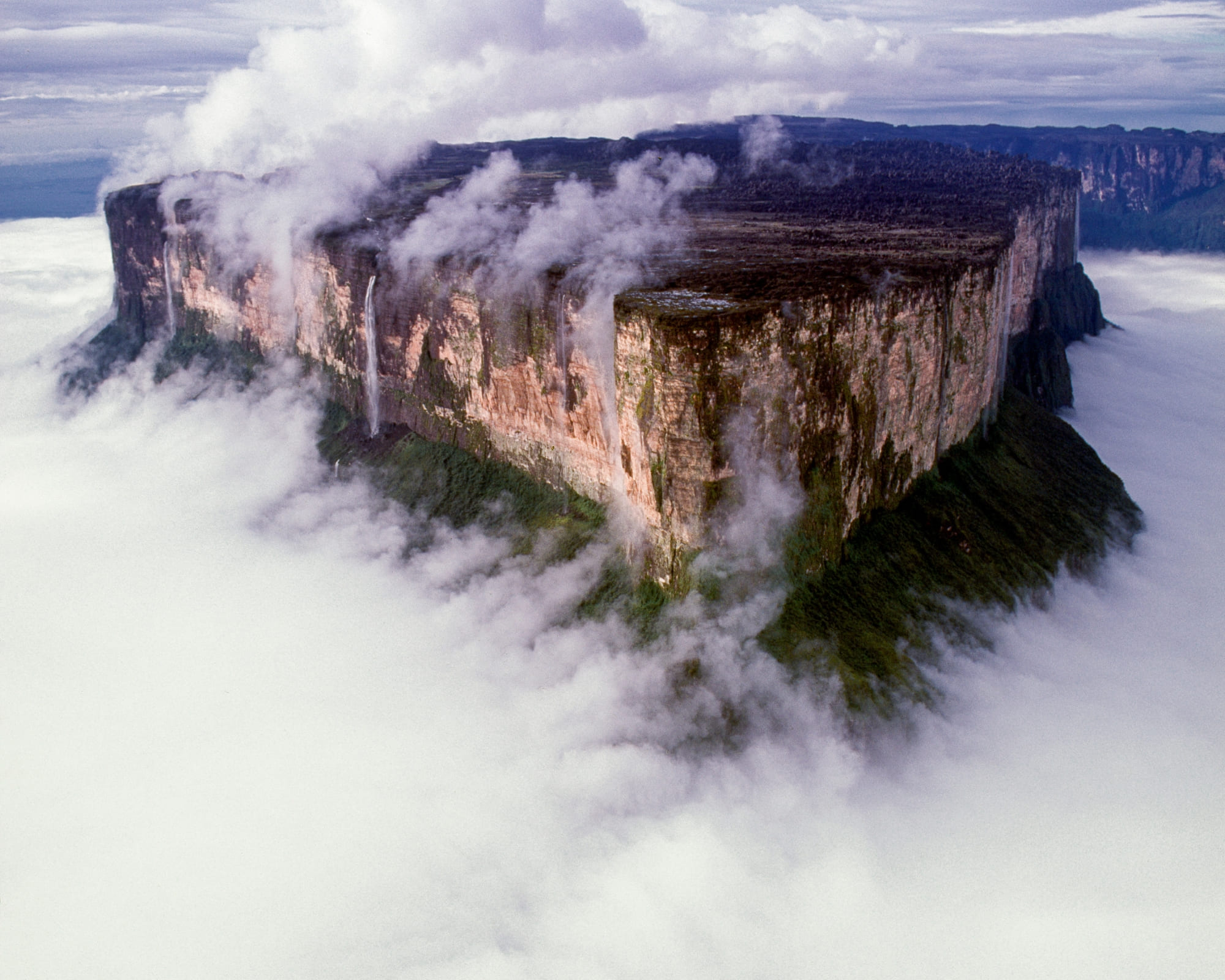
Porters, permits, gear, paperwork, and weather for the 2,810-meter tepui on the Venezuelan border: the decisions that shape a Mount Roraima trekking expedition
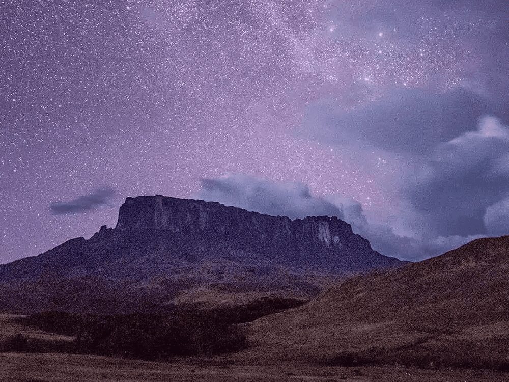
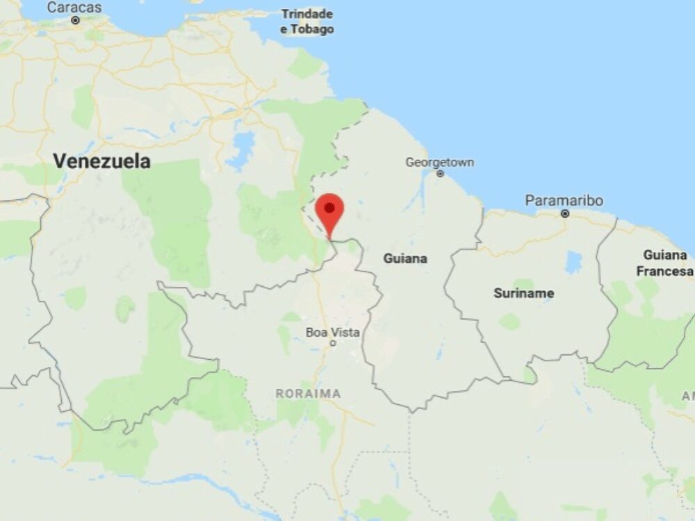
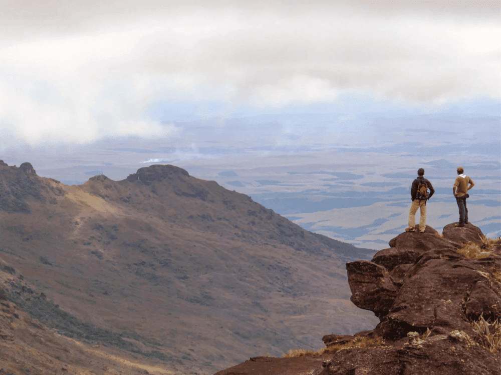
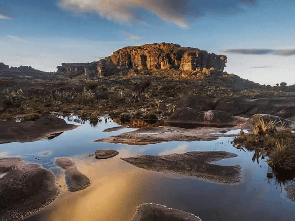
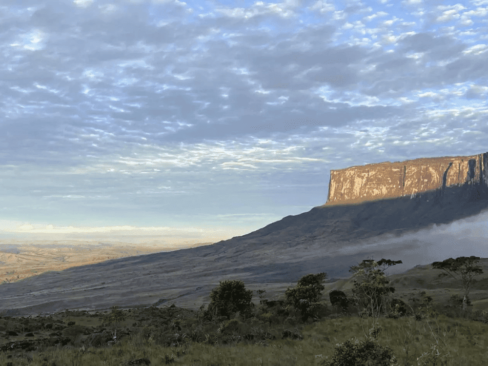
Mount Roraima stands 2,810 meters high where Venezuela, Brazil, and Guyana meet. Its 33–50 km² sandstone summit plateau formed 1.8 billion years ago, leaving behind a tepui with sheer 400–1,000-meter walls after upper layers eroded 180 million years ago.
That unique geology drives the logistics. Venezuela holds 85% of it (Guyana has 10%, Brazil 5%), and all commercial treks depart from the Pemón village of Paraitepuy in Venezuela. The Brazilian side falls within Monte Roraima National Park and Raposa Serra do Sol Indigenous Territory, requiring technical wall climbing and prior ICMBio approval. Consequently, Mount Roraima trekking demands border crossings, permits, and guides before setting foot on the trail.
PlanetaEXO, an ecotourism platform specializing in Mount Roraima tours, has put together 10 tips on porters, permits, gear, weather, and paperwork, each one with the figure behind it. Check it out below!
Photo: mariusz_prusaczyk
1. Hire porters from the Pemón community
Personal porters are hired at Paraitepuy before the trail starts. On the 10-day itinerary, you cover approximately 90 kilometers overall, with daily stages ranging from 6 to 15 kilometers on the plateau, where most tour companies limit individual bags to 15 kilos.
Local porters belong to the Pemón communities whose land the trail traverses. By hiring them, you directly support the village that manages access to the area, which is community-based tourism all about.
2. Book the Mount Roraima trekking with an operator that handles the border
The practical route runs through Brazil. From Boa Vista it is 220 km (about 3 hours) on the BR-174 to Pacaraima, the only road crossing between the two countries, then across to Santa Elena de Uairén, in Venezuela. The trek starts at Paraitepuy, which is reached by traveling an additional 100 km by 4×4 across the Gran Sabana.
Venezuela requires a yellow fever certificate from anyone arriving from Brazil or transiting a Brazilian airport for more than 12 hours, while visa rules differ by nationality.
British, Canadian, and Australian passports are generally visa-free for stays under 90 days, while US citizens apply for an e-visa and pay a USD 180 fee, though the US State Department keeps a “Level 3: Reconsider Travel” advisory for Venezuelan territory.
Mount Roraima trekking specialists not only guide travelers through border formalities and other potential bureaucratic requirements but also handle all transfer logistics to ensure maximum comfort, peace of mind, and safety.
3. Pack for rain that arrives from every direction
Mount Roraima receives more than 1,500 millimeters of rain a year. The weather is made on the plateau rather than in the valley, so the forecast for Santa Elena tells you very little. December to April is the driest window, though departures run year-round, and no month here is dry. Even in the best season, plan for sun in the morning, cloud by midday, and rain at night.
If you’re researching what to expect during guided hikes in Mount Roraima, you might have stumbled on something called “reverse rain,” which is when strong upward wind gusts (roughly 75 km/h) catch falling water or rain, blowing it back into the sky before it hits the ground.
Bring a waterproof shell and a cover/dry bags for your pack, sleeping bag, and electronics, when wild camping, protecting your gear is crucial. Additionally, bring spare socks and a microfiber towel.
4. Train for La Rampa, not for the distance
The Mount Roraima trekking route can be divided into distinct stages:
Paraitepuy to Kukenán River camp: covers 15 km in 4 to 5 hours.
Kukenán River to Base Camp: spans 8 km and 750 meters of climb.
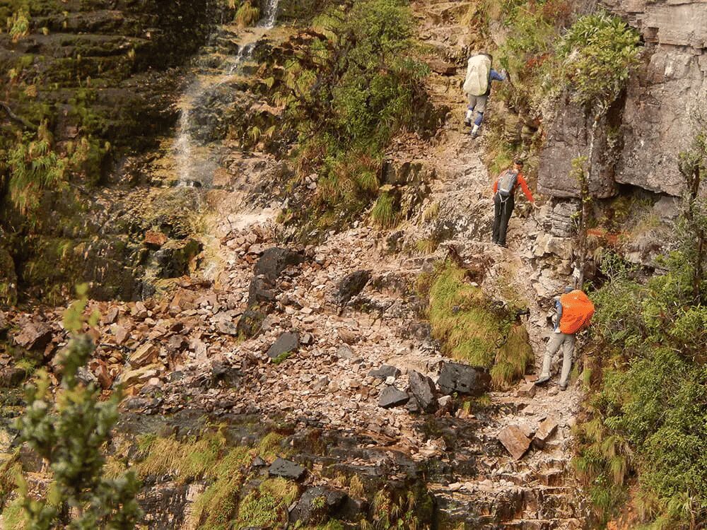
Ascent via La Rampa: tackles the wall along a natural ledge, the sole non-technical path up to the summit plateau, taking 4.5 km in 4 to 5 hours.
Top Plateau Exploration: daily distances range from 6 to 15 km.
So the training that matters for hiking Mount Roraima is not distance but repeated climbing with weight on wet rock. Start hill walking with a loaded pack two months out, add cycling or running for the aerobic base, and work on legs and ankles. River crossings and slick boulder sections do more damage to unprepared ankles than the elevation does to lungs.
Climbing Mount Roraima without technical skills is possible, since there are no ropes, harnesses, or scrambling grade on the standard line. With preparation, anyone in reasonably hiking condition can finish it.
5. Learn what lives up there before you walk on it
Found exclusively at elevations between 2,300 and 2,800 meters on this summit and neighboring Wei-Assipu-tepui, the tiny Roraima bush toad (Oreophrynella quelchii) is no larger than a thumbnail, spotting one requires an experienced guide who knows precisely where to search.
First identified on the slopes of Roraima by Robert and Richard Schomburgk in October and November 1839, the pitcher plant Heliamphora nutans was the earliest of its genus ever recorded. Beyond Roraima, this species persists only on Kukenán, Yuruaní, Maringma, and Wei Assipu, remaining entirely exclusive to this specific group of tepuis.
Tepui summits feature unique ecosystems, with WWF reporting that about one-third of their plant life is endemic. Though isolated from the lowlands for 70 to 90 million years, a 2012 study on tree frogs across separate tepuis traced a common ancestor to 5.3 million years ago, proving species cross these walls. To protect these habitats, always walk on bare rock and avoid native vegetation.
You start the week at around 25°C in the savanna and sleep it out at 5°C, with summit days near 10°C and nights that fall close to 0°C whenever it rains. That is a 25-degree swing inside one bag, at a latitude of 5 degrees north, which is why so many people arrive underdressed for the tropics.
Make sure your sleeping bag is rated for 0°C, with an insulating mat under it. Add trekking poles for the descent, a headlamp with spare batteries, and boots already broken in. Nothing about Mount Roraima camping forgives new boots on a 15-kilometer day.
Trekkers spend nights in tents at designated campsites across the plateau. Many sleep beneath natural rock overhangs, which offer protection against driving wind and rain, though they do not insulate against the chilly dampness radiating from the stone floor.
Remember to carry a bottle and a purifier, as the summit water runs clear from the plateau pools and there is nowhere to buy anything for several days.
Photo: @overlandtheamericas
7. Split your luggage into waterproof compartments
Pack all your belongings into waterproof dry bags, ensuring essential items like sunscreen, snacks, and a camera stay easily accessible in an exterior pocket. Distribute weight effectively by positioning heavy gear against your back to rest the load on your hips instead of your shoulders.
Next, lighten your load. Unnecessary weight becomes a heavy burden on La Rampa, where travelers most often regret bringing unworn clothing. Prioritize versatile, repeatable layers over multiple outfits, especially since camp conditions offer no way to dry damp garments.
Documents and cash travel separately, in their own dry bag. You need a passport valid for at least six months, the yellow fever certificate, and cash.
8. Expect no signal, and decide now what you want to bring home
If you go trekking in Mount Roraima, be aware that there’s no internet on the tepui. Between Paraitepuy and the descent, travelers are offline for several days. The recommendation is to tell people at home you won’t be reachable for a while.
Being disconnected encourages intentional recording over routine updates. Key landmarks across the plateau include the Valley of Crystals, Lake Gladys, La Ventana lookout, the Triple Point border marker, El Foso, and Maverick Rock (the summit’s peak at 2,810 meters). Because low temperatures and moisture drain battery life quickly, store power banks in dry bags and keep spare batteries inside your sleeping bag overnight.
A written journal survives conditions that kill a phone, and it catches what photographs miss. Think of your trek as part of a global community of explorers. Every image, note, and exchange with fellow hikers is part of the story you’ll tell once back home.
“Tepui” means “house of the gods” in Pemón. The name “Roraima” itself comes from roroi, blue-green, and ma, great. Pemón cosmology sees this tabletop as the stump of a mythic tree that held all world fruit until Makunaima felled it, inspiring PlanetaEXO’s 10-day Makunaima Expedition.
Trekkers cross Pemón territory in Venezuela, accompanied by Pemón guides and porters. Meanwhile, the Ingarikó reside on the Brazilian side, within Monte Roraima National Park and the Raposa Serra do Sol Indigenous Territory, sharing the region with the Macuxi, Wapichana, Patamona, and Taurepang peoples.
That side is not part of the tourist route. The park was created on June 28, 1989, covers 116,747 hectares, and has been under a shared arrangement between ICMBio (Chico Mendes Institute for Biodiversity Conservation), FUNAI (National Indigenous Peoples Foundation), and the Ingarikó since 2005.
Everard im Thurn and Harry Perkins completed the first recorded ascent on December 18, 1884, guided by locals who likely reached the summit long before. Delving into this rich history transforms your perspective on the plateau and deepens the conversations you share along the trail.
Three things move on this route regardless of planning: the weather, the border, and the pace of the slowest person in the group.
Trip length determines how much of the plateau you explore. The 8-day route includes three nights on top to visit the Jacuzzis, La Ventana, and Maverick Rock. The 10-day route adds two nights, Triple Point, Lake Gladys, and an Indigenous community stay. The 12-day option extends this itinerary even further. Daily difficulty is identical; only your time spent above 2,700 meters varies.
Even with thorough preparation, conditions on the mountain can change quickly. Campsites may become soaked, unexpected cloud cover can temporarily obstruct views, or earlier groups might secure the best shelters. Accounting for flexibility in your schedule transforms these potential setbacks into memorable experiences.
Ready for Mount Roraima Trekking? Plan your expedition with PlanetaEXO
Now that you know the best tips for a smooth trek in Mount Roraima, it's time to think about your travel plans.
PlanetaEXO is an ecotourism platform specializing in hiking and trekking tours in Brazil. We run this route from Boa Vista with Pemón guides and partners who handle the crossing, the permits, and the camps, so all you have to do is enjoy the crossing. Contact us now!
Is the Amazon Rainforest dangerous? Learn what actually poses risks and how experienced professionals can help you have a safe, enjoyable travel experience
The largest tropical forest on Earth covers 5.5 million km², with 60% of it sitting inside Brazil. The sheer scale can be scary, but reality paints a different picture. If you are wondering if it is safe to visit the Amazon Rainforest, the answer is yes, as long as you have experienced professionals by your side.
Licensed guides, local operators, and jungle lodges run the same rivers and the same trails hundreds of times a year. That repetition is exactly what turns wild country into a planned trip.
Contrary to what movies might suggest, the real dangers of the Amazon are far less cinematic. High temperatures, mosquito bites, and discomfort while engaging in forest activities are the most common issues—all of which are avoidable with the right information and assistance.
PlanetaEXO, an ecotourism platform specializing in Amazon Rainforest tours in Brazil, has put together this guide to every real risk in the jungle and how it gets managed on the ground. Check it out below!

Is the Amazon Rainforest dangerous? What the risk actually looks like
In the sense most people mean it—predators hunting humans, a wilderness that swallows people whole—the Amazon Rainforest is not dangerous.
The risks that do exist are ordinary, measurable, and ranked in an order that surprises almost everyone: heat, insect-borne disease, waterborne infection, small injuries in places far from a hospital, and the same petty crime you would watch out for in any large city. Wild animals come last, and by a wide margin.
The reason an organized trip is safe is structural. You travel on fixed routes with fixed schedules and a guide who is professionally responsible for the group. Boats carry life jackets, while lodges carry first-aid kits, and someone always knows where you are and when you are due back.
It is safe to travel the Amazon Rainforest when you travel properly, backed by professionals who care for your safety and enjoyment.
Photo: Felipe Castellari
Manaus, the gateway city to the forest
Nearly every Amazon trip in Brazil begins in Manaus, a city of more than 2 million residents and the gateway airport (MAO) for the entire region.
Day to day, the risk in Manaus is opportunistic theft rather than violence, and it responds to the same habits that work in São Paulo, Lisbon, or Mexico City.
To stay safe in Manaus, use the same common sense you would in other busy cities. Keep your phone out of sight on the street, use Uber and 99 instead of hailing cars, avoid walking alone at night in empty areas, split your cash and cards between two places, and carry a copy of your passport while the original stays in the hotel safe.
Book your tours before you arrive with a reliable operator you have checked, rather than from someone approaching you at the port or the airport.
Dangerous animals in the Amazon Rainforest (and why you probably won’t meet one)
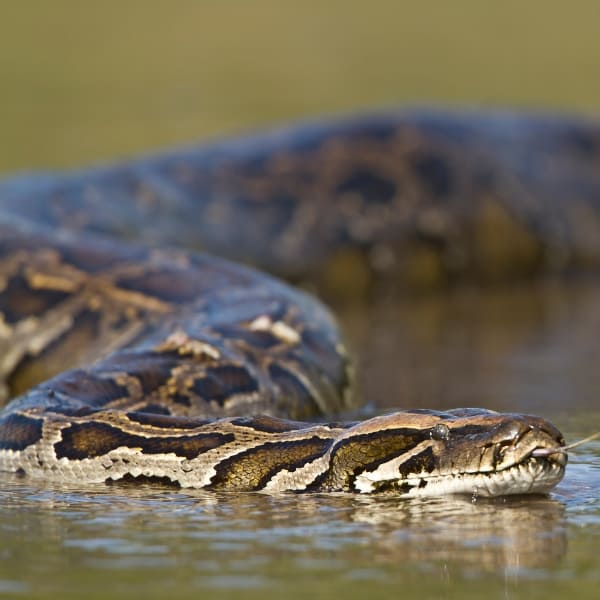
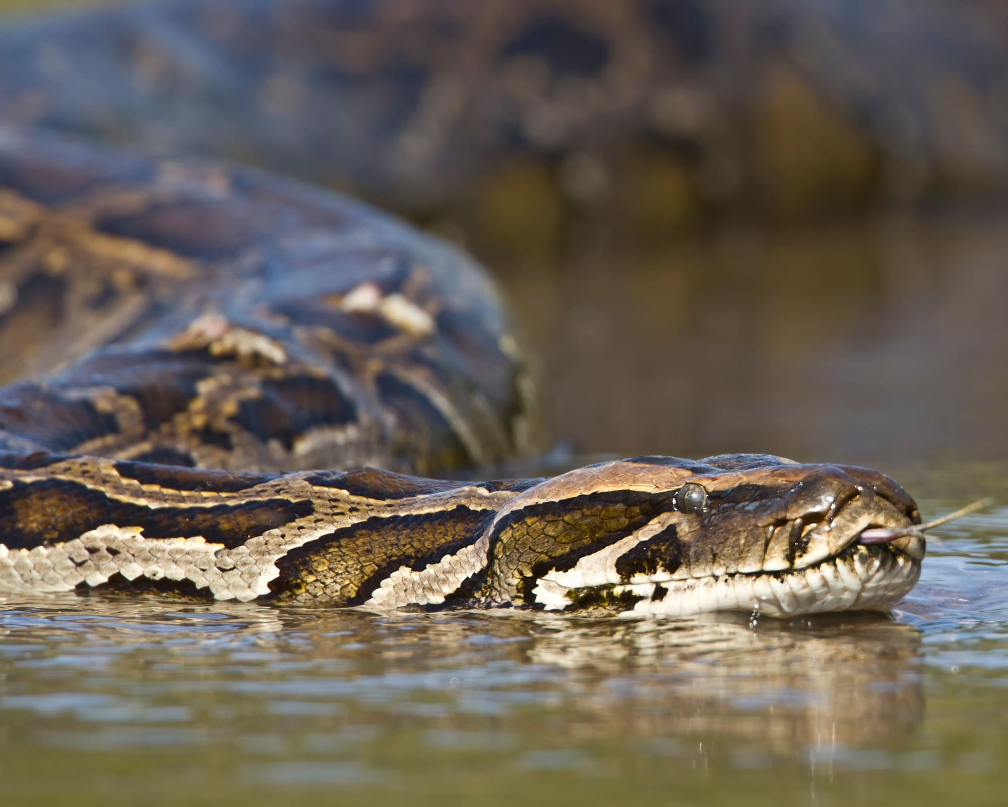
The list of dangerous animals in the Amazon Rainforest is genuine: jaguars, anacondas, black caimans, lanceheads, bushmasters, and electric eels. The list of travelers hurt by them is very short.
Because the jungle is immense, its fauna scattered, secretive, and mostly active at night, dense foliage conceals almost everything. On the majority of excursions, a guide’s main challenge is locating wildlife for visitors rather than fending it off. Spotting these creatures is the objective, not a safety concern.
The one wildlife risk with real numbers behind it sits at ground level. Between 2010 and 2020, Amazonas state recorded 16,868 snakebites, most caused by Bothrops (lanceheads) and then Lachesis (bushmasters).
Although snakebites are significant in the Amazon region, most cases involve rural or indigenous residents working barefoot in the forest, which means it does not fall on visitors walking marked trails in closed boots alongside a guide.
Photo: Marcelo Bonifácio
Insects are the animals that will actually shape your trip. Mosquitoes can carry diseases like dengue or Zika, while ants, wasps, bees, and spiders cause stings, painful reactions, and the occasional allergic emergency. This is where your prevention effort belongs:
Use repellent with 30% DEET or 20%+ picaridin on exposed skin, reapplied every 4 to 6 hours, as the CDC advises for tropical travel.
Treat clothing with permethrin—it keeps working through multiple washes. Never put permethrin on skin.
Wear long sleeves and long pants on trails, especially at dawn and dusk, when biting activity peaks.
Keep windows and doors closed at night. Most Amazon jungle lodges are screened, and many supply mosquito nets over the beds.
Shake out and check your boots before you put them on every single morning, as scorpions and spiders like dark, warm spaces.
Skip perfume and strongly scented products, which attract insects, and leave neon clothing at home.
Heat and humidity: the risk almost everyone underestimates
Manaus averages a maximum of 32°C across the year and 81% relative humidity, with September the hottest month at an average high near 34°C, according to INMET’s 1991–2020 climate normals.
The temperature alone is manageable, but the humidity is what can make the Amazon Rainforest dangerous: high humidity limits sweat evaporation—your body’s primary mechanism for cooling down—making standard physical exertion far more draining than back home. As a result, staying cool requires extra effort.
Heat exhaustion is more common on Amazon trips than any animal encounter. Some warning signs are headache, nausea, dizziness, weakness, irritability, heavy sweating, and reduced urine output.
Notify your guide immediately if you notice any symptoms—addressing them early requires only brief rest in the shade, whereas ignoring them can lead to heatstroke, a critical medical condition in remote jungle environments.
Photo: Marcelo Bonifácio
Drink around 1 liter per hour while walking in the heat. Do not wait until you feel thirsty.
Carry rehydration salts, since water alone does not replace what you lose sweating for several hours.
Wear light-colored, quick-dry long sleeves rather than a tank top. Covering skin is cooler than exposing it, doubling it as insect and sun protection.
Use SPF 30+ sunscreen and a wide-brimmed hat (biodegradable formulas are better in the river).
Accept the schedule. Excursions begin at first light and pause during the early afternoon to avoid peak temperatures rather than to lengthen the itinerary.
The yellow fever vaccine for Brazil and the other shots the Amazon calls for
While it is not a requirement for foreigners to be vaccinated to enter the country, the yellow fever vaccine for Brazil is strongly recommended for anyone traveling to Amazonas and the wider Amazon region.
To allow sufficient time for immunity to build, receive the vaccination no less than 10 days prior to arriving in a high-risk region. Per the WHO’s updated 2014 International Certificate of Vaccination guidelines, a single dose provides lifelong protection.
Manaus’s municipal health department also asks travelers to be current on measles protection and notes that the yellow fever and measles vaccines cannot be given on the same day—they need roughly a 30-day interval between them.
That single detail is why you plan vaccines 6 to 8 weeks out, not the week before departure. Beyond those two, a travel doctor will normally review hepatitis A and B, tetanus and diphtheria, typhoid, and rabies, depending on your itinerary.
Food and water: what to eat and what to leave alone
Inside the jungle lodges and on Amazon river cruises, eat and drink what you are served without anxiety.
Operators hosting international travelers filter or bottle their drinking water and buy from licensed suppliers. Most lodges provide potable water for refills, so a reusable bottle is worth the space in your bag.
Never drink untreated water from a river, stream, or igarapé, however clear it looks. Forest water carries parasites and bacteria that a healthy-looking surface tells you nothing about. Manaus’s health department advises bottled water in the city too, along with washing your hands with soap several times a day.
In the city, eat where there is turnover and a visible license. Street food is part of the experience and worth having—just choose the stall with a queue of locals and food coming off the grill in front of you.
Injuries, illness, and what happens when something goes wrong
Most medical events in the forest are small. Blisters, insect stings, a scraped shin, an upset stomach, an ankle rolled on a wet root.
Lodges and guides carry first-aid kits and handle these on the spot. You should still bring your own supply of any personal medication in its original packaging, plus painkillers, antihistamines, anti-diarrheals, blister plasters, and rehydration salts. Pharmacies are a boat ride away, which can take hours.
For minor issues, guides and lodges provide on-site first aid. For severe cases, operators follow strict protocols to transfer patients to Manaus. As outlined by municipal health authorities, the city has emergency units across five zones, including specialized centers like the Fundação de Medicina Tropical for animal bites.
Brazil’s public health system is free at the point of use, including for foreign visitors, under the constitutional principle of universal access—though a public emergency room is a fallback, not a plan.
The plan is insurance, and the fine print matters more than the price. Buy a policy that explicitly covers medical evacuation from remote areas and names the activities on your itinerary—trekking, kayaking, boat travel, camping, etc.
Standard policies routinely exclude both remote-area evacuation and adventure activities, which is precisely the combination an Amazon trip consists of. Check that repatriation is included, and carry the policy number somewhere you can reach it without a phone signal.
In the right stretch, at the right time, with your guide’s approval, yes, it is safe to swim in the Amazon River. In fact, swimming is a normal part of most itineraries.
The Rio Negro is the classic swimming water of the region precisely because its dark, acidic, tannin-stained water carries far fewer mosquitoes and parasites than the sediment-heavy white water of the Solimões. Some stretches are excellent, but others not so much, and the difference is not something you can read from the bank.
What makes a stretch unsafe is almost never a fish, but current, depth, submerged branches, and mud holes you cannot see through dark water.
Brazilian fire-service guidance for river bathing is direct: do not go deeper than knee height where the current is strong. If a current takes you, swim diagonally toward the bank rather than fighting it head-on.
Aquatic animals also deserve attention, though the dangers are far less severe than commonly imagined. Despite the reputation of piranhas, these fish rarely attack humans—though they can become somewhat more aggressive when protecting their eggs. Eels pose a greater risk of incapacitating their victims than of delivering electric shocks, while caimans only appear at night.
Photo: Felipe Castellari
Here are some rules that keep river swimming uneventful:
Always follow your guide’s directions on where and when to swim, and never enter the water alone.
Stay out of the water at night, dawn and dusk, when caimans move close to the banks.
Do not swim with open wounds or after drinking alcohol.
Wear the life jacket on the boat. Brazilian Navy-certified jackets are standard on licensed operations, and most incidents involve people who were not wearing one.
Watch the children in the water constantly, even in calm-looking shallows.
Visiting local communities: respect is the safety rule
Riverside ribeirinho and Indigenous communities are part of many Amazon itineraries, and a number of them welcome visitors into their homes for genuinely good exchanges—food, crafts, and the working knowledge of a place they have lived in for generations.
Community-based tourism is of great importance to the Amazon region, providing financial and social support to local families while also fostering numerous environmental conservation efforts.
Isolated peoples are an entirely separate matter, for which tourism is deliberately kept away from them. FUNAI, Brazil’s Indigenous affairs agency, has 115 documented records of isolated Indigenous groups, with 29 officially confirmed—all located within the Amazon, representing the world’s largest isolated population.
Brazil enforces a strict non-contact stance, meaning tour leaders and operators always steer itineraries far away from these protected areas. This is not only a legal boundary but a lethal one: isolated groups have no immunity to diseases that a visitor would barely notice carrying.
Photo: Isadora Sá
For communities open to visitors, local etiquette doubles as the primary safety guideline:
Always request permission prior to taking photos, particularly of children.
Avoid distributing candy, money, or presents independently. Your guide can advise on appropriate items to prevent unforeseen issues following your departure.
Respect host boundaries by taking cues from local families on where to walk or sit.
When you are unsure about anything at all, ask your guide first. That single habit prevents most of the awkwardness and all of the offense.
Amazonian expeditions require varying levels of endurance. Paddling through flooded forests is vastly different from full-day jungle trekking or spending the night in a hammock at a remote outpost. Constant heat and humidity further compound the effort, making even light activity demanding at 32°C.
If you are not comfortable with something, say so before it starts. Guides plan alternatives as a matter of routine, and a group that knows one member is sitting out the long hike is a group that stays together and on schedule.
Respecting the limits of your own body and mind is one of the most effective ways to avoid an unpleasant situation entirely. The riskiest person on any trip is the one who does not want to look weak, as someone pushing past their limit is how a manageable day turns into an evacuation.
Photo: Marcelo Bonifácio
Always follow your guide
How to stay safe in the Amazon Rainforest comes down to a single habit: do what your guide tells you and tell them what you are experiencing. Qualified professionals read this forest at a level no visitor can match after a week or a month.
They know which plants sting, which stretch of river is safe, what a change in the sound of the canopy means, and how to deliver first aid hours from a hospital. That knowledge only protects you if you use it.
Photo: Gui Gomes
Stay with the group and on the trail. Never walk into the forest alone, not even a short distance from the lodge.
Ask before touching any animal, plant, or fruit. Many are harmless, several are not, and they are hard to tell apart.
Declare medications, allergies, medical conditions, and phobias when booking your trip.
Keep to the timings. Dawn departures and dusk returns are safety decisions about heat, wildlife, and light, not scheduling preferences.
Ask questions. Guides expect them, and a group that understands why a rule exists follows it much more reliably.
Safe trips to the Amazon with PlanetaEXO
Now that you know that it is safe to visit the Amazon Rainforest when you travel with experts and respect what nature tells you, it’s time to book your trip!
PlanetaEXO is an ecotourism platform specializing in Amazon jungle tours, working alongside the best local operators, lodges, and guides in the region—the same professionals who make this forest a safe place to travel. Our team handles all the planning and logistics, so all you have to do is enjoy yourself. Contact us now!
Distances, difficulty, entrance fees, and the base town for each of the 10 Chapada Diamantina attractions are worth planning your days around
Chapada Diamantina National Park covers 152,000 hectares of Bahia’s central highlands, spread across the municipalities of Lençóis, Palmeiras, Mucugê, Andaraí, and Ibicoara. Created by federal decree on September 17, 1985, it is one of the few places where three Brazilian biomes meet inside a single park (Caatinga, Cerrado, and Atlantic Forest).
In one week, you can look down a 340-meter waterfall, swim in a flooded cave where a prehistoric sloth was recovered, and sleep in a valley with no cell signal. Access is controlled on the busiest routes: ICMBio counts more than 25,000 visitors a year on the Cachoeira da Fumaça trail alone. Want to know what to do in Chapada Diamantina without burning a day on the wrong trail?
PlanetaEXO, an ecotourism platform specializing in Chapada Diamantina tours, has selected 10 attractions, with the distance, difficulty, fee, and base town for each. Check it out below!

Vale do Pati
Vale do Pati sits in the middle of the national park and can only be crossed on foot. A full traverse covers more than 70 kilometers over five days, climbing to nearly 1,400 meters, with daily stages of 15 to 25 kilometers. There is no road in, no cell signal, and no hotel.
You sleep in the houses of the families who still live in the valley, who cook your meals and rent out a room. Because you can enter and leave through three different points—Vale do Capão, Guiné (in Mucugê), and Andaraí—itineraries run anywhere from 3 to 8 days, which is what makes it the most customizable trek in the park.
Good to know:
Base towns: Vale do Capão, Guiné, or Andaraí.
Distance: 70+ km over 5 days, with 3-day and 8-day versions.
Difficulty: hard (15 to 25 km a day carrying your own pack).
Guide: essential; the route is unmarked and crosses private land.
Cachoeira do Buracão drops 85 meters into a canyon of layered rock near Ibicoara, at the southern end of Chapada Diamantina. The 3-kilometer trail in is short and rated light to moderate, which makes it the best return on effort of any big waterfall here.
Located within the Parque Natural Municipal do Espalhado, access to the waterfall requires a municipal registered guide or visitor conductor. Visitors must also pay an entry fee and wear a mandatory life jacket when entering the pool. After heavy rain, the current can make swimming impossible, even though the waterfall itself only gets stronger.
Good to know:
Base town: Ibicoara.
Distance: about 3 km each way, on a light-to-moderate trail.
Fee and guide: both mandatory, hired in town or at the guides’ association.
Combine it with: Cachoeira das Orquídeas and Cachoeira do Recanto Verde on the same day.
If you have half a day and are still deciding what to do in Chapada Diamantina, start here. The summit of Morro do Pai Inácio stands at 1,120 meters, roughly 250 meters above the plain, while the climb from the gate takes about 25 minutes on a short, steep path.
From the top, get the Camelo and Três Irmãos hills and the full width of the valley cut by the BR-242 highway. Go close to sunset and pair it with a nearby waterfall such as Poço do Diabo.
Good to know:
Base town: Lençóis or Palmeiras, both under an hour by car.
Distance: roughly 500 meters uphill from the parking area.
Difficulty: easy (the only stop on this list a non-hiker can do).
Fee and hours: small gate fee (R$12 recently, check locally); 9 AM to 5 PM.
Cachoeira da Fumacinha
Fumacinha is the hardest single day on this list. The walls closing in around the falls rise close to 300 meters, and the waterfall itself was measured at 210 meters by the Projeto Cachoeiras Gigantes survey, well above the 100 meters usually quoted.
The trail runs 18 kilometers round trip up the riverbed from the Baixão community, which is itself 30 kilometers of dirt road from Ibicoara. The first 3 kilometers are easy; after that you are hopping boulders and using your hands.
A registered Chapada Diamantina guide is mandatory, as the river turns dangerous in the rainy season.
Good to know:
Base town: Ibicoara, plus 30 km of dirt road to the trailhead.
Distance: 18 km round trip (3 to 4 hours each way).
Difficulty: hard (riverbed boulders and scrambling after km 3).
Watch the forecast: powerful currents during the rainy season, while the flow can diminish significantly in dry months.
At 340 meters, Cachoeira da Fumaça is the second-highest waterfall in Brazil, behind Cachoeira da Neblina in Rio de Janeiro. Wind catches the water long before it lands and turns it into drifting spray, which is where the name comes from—fumaça means smoke.
The trail from Vale do Capão is 12 kilometers round trip, with 2 kilometers of steep steps, then 4 kilometers of uneven rock to the lookout. It is the busiest controlled trail in Chapada Diamantina National Park.
There is no pool at the top, so most groups drive the extra 3 kilometers to Cachoeira do Riachinho to cool off afterward.
Good to know:
Base town: Vale do Capão, in the municipality of Palmeiras.
Distance: 12 km round trip (about 5 hours).
Difficulty: moderate (the first 2 km are the whole climb).
Timing: the fall can disappear completely at the end of the dry season.
Same waterfall, opposite angle, completely different trip. Reaching the base means a 3-day traverse between Vale do Capão and Lençóis, in either direction, camping in the wild and carrying your own food, water, and equipment.
Your reward for completing this classic Chapada Diamantina trek is a refreshing swim in the natural pool right at the base of the towering cliff face. Along the way, the trail winds through pristine forest, historic diamond-mining ruins, and past two additional waterfalls: Capivara and Palmital.
Keep in mind that there are no restroom facilities along the trail, so visitors must pack out all trash and waste.
Good to know:
Base towns: Vale do Capão and Lençóis, one at each end.
Duration: 3 days, wild camping, no resupply.
Difficulty: hard (full pack, rock sections, river crossings).
Bring: tent, water treatment, all your food, and waste bags.
These two flooded caves are the easiest stop on any list of what to do in Chapada Diamantina—and the most unique.
Poço Encantado in Itaetê measures 110×70 meters and is over 60 meters deep. Its crystal-clear water comes from a non-renewable water table, so swimming is banned. From April 1 to September 10 (peaking in June and July), sunlight passes through a rock opening onto the lake between 10 AM and 1:30 PM.
Poço Azul, in Nova Redenção, has running water, so floating with a life jacket is allowed. It is also a fossil site—divers recovered a near-complete skeleton of Eremotherium laurillardi, a ground sloth up to 6 meters long weighing around 5 tons, extinct for roughly 11,000 years. The first skull surfaced in 1995.
Good to know:
Base towns: Itaetê (Poço Encantado) and Nova Redenção (Poço Azul), one hour apart.
Distance: Poço Encantado is 140 km from Lençóis, reached by dirt road.
Fees: both sit on private property and charge on-site.
Best light: April to September, between 10 AM and 1:30 PM.
The 80-meter Mixila waterfall sits deep inside the Capivari river canyon, which narrows to 4 meters wide at its tightest point. Get there by following the riverbed from near Lençóis, hopping boulders, and swimming across two pools with your backpack left behind on the rocks.
Photo: @nairaferreiraa
As a day hike, it is punishing and only for very fit hikers—roughly 25 kilometers round trip, after a 9-kilometer approach by car best driven in a 4×4. Camping one night turns it into a much better trip and lets you add the Capivari and Poção waterfalls on the way.
Good to know:
Base town: Lençóis.
Distance: about 25 km round trip.
Difficulty: hard (4 to 5 hours on day one, 6 to 7 hours on day two).
You will swim: two pools have to be crossed, so pack dry bags.
Cachoeira do Sossego
Sossego drops about 20 meters down a stepped wall inside a canyon, into a pool wide enough to swim across and flanked by flat rock to dry off on. The round trip from Lençóis, Bahia, is 12 kilometers with 463 meters of elevation gain, normally done in a single day.
The final section proceeds along the riverbed across large boulders, including a passage beneath an overhanging ledge that should only be attempted during low water levels. Avoid this route following extended rainfall, as the river rises rapidly and makes the rocks exceptionally slick.
Good to know:
Base town: Lençóis.
Distance: 12 km round trip (463 m of elevation gain).
Difficulty: hard for the distance (the boulder sections are the slow part).
Do not go: after several consecutive days of rain.
Lapa Doce, in Iraquara, is part of a cave system 42 kilometers long, of which 850 meters are open to visitors around 1.5 hours underground among stalactites, stalagmites, and limestone curtains. It has more than ten entrances and is the most visited cave in the municipality.
The visit starts with a steep descent on stairs and stays easy after that, which makes it workable for almost anyone. Most people pair it with Pratinha, minutes away, where a clear river runs straight out of a cave mouth and you can float, snorkel, or ride the zip line. Both charge on-site.
Good to know:
Base town: Iraquara, about 1.5 hours from Lençóis by car.
Difficulty: easy (after the stairs at the entrance).
Guide: mandatory inside Lapa Doce; fees paid on-site at both stops.
Ready to Visit Chapada Diamantina? Plan Your Trip with PlanetaEXO
Now that you know what to do in Chapada Diamantina, it’s time to pick your favorite attractions and plan your vacation.
PlanetaEXO is an ecotourism platform specializing in hiking and trekking tours in Brazil. Working with local guides and operators who know the national park like the back of their hand, our team plans your entire trip, from logistics to tailor-made itineraries, so all you have to do is enjoy yourself. Contact us now!
One traveler, two friends, and a surprising immersion into the world’s largest tropical rainforest
Some trips start with a place, but this one started with an event. Erica L., 41, works as a research analyst in the United States. When a friend scheduled her wedding in Rio de Janeiro, Erica decided it was the perfect opportunity to extend her trip. After all, if she was going all the way to Brazil, she needed to explore more.
Together with two friends, she set off for an unforgettable journey in the Amazon, staying in a self-sufficient hotel with 6 suites that floats on the river, rises and falls with the water level, and runs on clean energy year-round.
Erica and her friends traveled into the rainforest on a 3-day Amazon jungle tour from Manaus, organized and led by PlanetaEXO’s team and local guides. Here, we share her story to show what experiencing nature is really like, featuring remarkable wildlife encounters, local connections, and much more comfort than she expected. Check it out below!
A trip extension that exceeded expectations
When Erica booked the tour, her expectations were already high. She had read the PlanetaEXO itinerary and seen photos, but reality managed to surpass it all. “The lodge staff went so far above and beyond. They were so wonderful and kind to us,” she recalled.
What surprised her most was the level of comfort. Expecting a rugged expedition and potential issues with mosquitoes (she even gave her friends a “stern talking to” about bug spray), the experience was exactly the opposite.
The floating lodge featured a beautiful rooftop stargazing area and a lovely pool. “It was very manageable and comfortable. The boat rides were smooth, lasting at most 3 hours, and the staff was always attentive to the group’s needs.”
Traveling with dietary restrictions can be a challenge, especially in remote areas. Erica is vegetarian, and her two friends are vegan. “Honestly, I was a little bit worried that they were going to starve to death because it’s not a very common diet.”
However, the lodge staff shined. At every single meal, individualized vegan entrees and desserts were specially prepared for them using local vegetables and ingredients, reinforcing the lodge’s commitment to sustainability and eco-friendly practices.
In a forest with no signs and rivers that shift with the season, guiding is everything. Erica’s guides, Tyson and Josephine, left a profound mark.
Tyson knew the region so well that during one of the tours, he warned the boat driver it would be the last time they could take a specific route because the river level had dropped and it would soon be unsafe. “It was really crazy for me to think of how well you have to know a terrain to understand that. My brain doesn’t have that knowledge of anything,” Erica joked, impressed by such a level of skill.
The hospitality was just as stellar. Knowing that a French family would be arriving the next day, Tyson stayed up until 3 AM trying to learn basic French to welcome them in the best possible way.
Another surprise was discovering the team’s background. “I didn’t realize that all of the staff were going to be from the local indigenous communities,” she admitted. “That in and of itself is one of the coolest parts of the trip. [The team] was so warm and kind. It was the most hospitable accommodations I’ve experienced in any type of tourism.”
Although the group fished for piranhas and spotted sloths, caimans, various birds, and two species of monkeys, it was the interaction with the Amazon river dolphins that stole the show.
“Tyson told us: ‘I think you guys are not only gonna see dolphins; I think you’re gonna see schools of dolphins.’ And we went and we did! It was amazing. They were fishing, jumping out, and got very close to the boat,” Erica remembered excitedly, noting that the sightings were frequent enough for everyone to capture on video.
Is it safe to travel to the Amazon? Erica’s honest answer
Safety is a common concern for first-time visitors to Brazil. Erica, however, felt 100% safe. Before the trip, she read the PlanetaEXO blog about safety in Manaus and took sensible precautions.
“I knew to respect what I was reading. We always used Uber Black, and I was very conservative with how late we were out. I don’t want to be more adventurous than I might have been in a place where I knew the city better, so I had no problems [anywhere in Brazil],” she stated.
Language wasn’t a barrier either. Erica’s basic Spanish was enough, since it’s somewhat similar to Portuguese. At the lodge, she held full conversations in Spanish with the chef and bartender. “Everyone was very patient and kind.”
Erica’s tips for first-time travelers
Following her experience, Erica shared three practical tips for anyone planning to visit the Amazon:
Bring small bills for tipping
Erica wished she had brought more reais (the local currency) in cash to individually tip the various staff members (guides, boat drivers, and lodge staff) who provided such exceptional assistance. “I didn’t understand how gracious and intensive the service would be.” There were at least five people she wanted to tip individually.
Worth knowing: the tipping culture in Brazil is different from the US, since service is often built into the bill and staff doesn’t count on it. It is appreciated, never obligatory. If you do want to tip, bring small notes in reais.
Prepare for local donations
During the trip, the group visited an impressive local school where children are taught multiple languages. Had she known beforehand that some communities welcome donations, she would have loved to bring school supplies.
“I would never presume to do something like that, because it can be weird when you’re offering gifts that people haven’t said are okay to give,” she said. Erica recommends asking in advance if there is any way to support the local communities visited along the itinerary.
Pack some casual resort wear
Erica over-prepared for an “extreme” jungle expedition, but the lodge had a very pleasant atmosphere. “Travelers might want to include more resort-style or casual clothing for time spent at the lodge,” she advises.
Now that you’ve seen the Amazon through Erica’s eyes, you know what this trip actually asks of you (very little) and what it gives back: spontaneous wildlife encounters, attentive guides who read the river like a map, high-end hospitality, and breathtaking natural landscapes.
PlanetaEXO is an ecotourism platform specializing in Amazon Rainforest tours in Brazil. Working alongside the best operators, we handle the logistics (transfers, lodges, meals, and routes) so all you have to do is enjoy yourself. Contact us now!
How to get to Brazil’s Jalapão, when to go, what the fervedouros really are, how many days you need, and what the trip costs
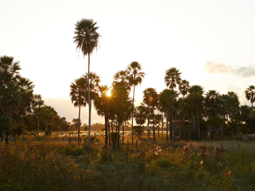
Jalapão State Park sits in the far east of Tocantins, in the middle of the Cerrado, the largest savanna in South America, which covers 2,036,448 km² (22% of Brazil) and holds more than 12,000 plant species. The park protects dunes, sandstone plateaus, waterfalls, and spring-fed pools.
What sets Jalapão apart from other Brazilian parks is the water. Underground springs push up through sand at the fervedouros, where you float instead of sinking, and the nearby Rio Novo holds one of only three known populations of the Brazilian merganser, a duck with fewer than 250 individuals left in the world.
Want to know when to go, how many days you need, and what a trip actually costs? PlanetaEXO, an ecotourism platform specializing in Jalapão tours, has put together this travel guide to help you plan every stage of the trip. Check it out below!
Jalapão State Park was created on January 12, 2001, and is managed by Naturatins, the Tocantins environmental agency. It covers 158,970 hectares (1,590 km²) across waterfalls, dune fields, canyons, and sandstone outcrops, along with the fervedouro springs that form natural pools.
The wider Jalapão region, at about 34,000 km², is close to the size of Switzerland, and the park is only one piece of it. Next door, the Serra Geral do Tocantins Ecological Station protects another 716,306 hectares under the Chico Mendes Institute for Biodiversity Conservation. Together with neighboring reserves in Bahia, Piauí, and Maranhão, they form the largest continuous block of protected Cerrado in Brazil.
The sandstone underfoot is older than any of it. The rocks belong to the Urucuia Group, laid down in the Cretaceous. Geologists read them as ancient dune fields, as this was a desert, not a sea. That same porous sandstone is what stores and slowly releases the groundwater that feeds the springs, rivers, and waterfalls you came to see.
The region is also a center for sustainable handicraft production, built around capim-dourado (golden grass) and buriti palm fiber. Harvesting is regulated: under Naturatins Ordinance 362/2007, golden grass can only be collected between September 20 and November 30 and only by registered extractivists, with the flowers scattered on the ground so the plant reseeds itself. State Law 3,594/2019 governs the rest of the production chain.
Where is Jalapão?
Jalapão State Park is in eastern Tocantins, about 300 kilometers from Palmas, the state capital. The region spreads across several municipalities, including Ponte Alta do Tocantins, Mateiros, and São Félix do Tocantins. The Serra do Espírito Santo, the flat ridge that dominates the horizon, reaches about 900 meters.
“Remote” is not a figure of speech here. Mateiros, the park’s main gateway, had 2,748 residents spread over 9,589 km² in the 2022 Census, a density of 0.29 people per km², according to IBGE. That isolation is exactly what kept the landscape intact, and it is also why the practical planning in the rest of this guide matters more than it would anywhere else.
How to get to Jalapão?
The usual way in is through Palmas, which has the closest airport, Brigadeiro Lysias Rodrigues (PMW). Three airlines fly there (Gol, Azul, and LATAM), with roughly 240 departures a month on direct routes to São Paulo, Brasília, and Belo Horizonte, among others.
From Palmas, expect at least 4 hours by road to Mateiros or São Félix do Tocantins, the two towns most travelers use as a base. A 4×4 is not optional: although select segments of the TO-030, TO-110, and TO-247 highways have been paved, extensive portions of the route remain unpaved dirt or soft sand, accompanied by very limited road signage.
It also helps to know that touring Jalapão is a circuit, not a there-and-back trip. The attractions are scattered across the region, so itineraries usually enter on one side and leave on the other.
Most tours start and end in Palmas. Every Jalapão package from PlanetaEXO includes transfers, so you don’t have to worry about navigating unmarked sand roads, and all you have to do is enjoy the journey.
When is the best time to visit Jalapão?
You can visit Jalapão year-round, but the dry season (May to September) is ideal due to minimal rain, clear skies, and reliable roads. May is the sweet spot with lush Cerrado greenery and high humidity just after the rains stop. As September approaches, conditions grow drier and dustier, though sunsets improve.
The rainy season runs from October to April. Storms can leave dirt roads close to impassable and make wildlife harder to spot, while January is the wettest month, averaging around 255 mm of rain.
It never gets cold. Mateiros has an annual average of 25.1 °C (77 °F) and about 1,372 mm of rain a year. Temperature swings are small all year, with highs between 30 °C and 34 °C (86 °F and 93 °F) and lows between 15 °C and 20 °C (59 °F and 68 °F).
The trade-off between seasons is scenery: green landscapes and full waterfalls in the wet months and easier access and sharper light in the dry ones.
Period
Rain
What it means for your trip
May to June
Very low
Green vegetation, full rivers, comfortable driving. The most balanced window.
July to September
Almost none
Driest air, dustiest roads, best sunsets. Peak season, so book early.
Roads can be blocked, some attractions harder to reach.
What is the current weather in Jalapão, Tocantins?
Take a look at how the weather is right now in Jalapão State Park.
What to do in Jalapão State Park?
Jalapão offers a wide range of tour itineraries and activities for nature and adventure travelers, from hiking and rafting to floating in spring-fed pools and visiting quilombola communities. Here are the activities worth building an itinerary around.
Floating in the fervedouros
The fervedouros of Jalapão are the reason most people travel there. Water rises through a fracture in the sandstone and pushes up through a bed of sand, keeping the grains in permanent suspension, so there is no solid floor to stand on and the upward flow holds you at the surface.
It has nothing to do with salt or water density, and no comparable phenomenon has been documented anywhere else. Most of these pools are only 1 to 2 meters deep, yet you cannot touch the bottom where the spring emerges.
The best-known are Fervedouro do Soninho, Ceiça, Buritizinho, and Bela Vista, the last one is the widest in the region and the only one with a restaurant and lodging on site.
Several fervedouros now work with timed entries and a cap on how many people can be in the water at once, so your guide will usually schedule them early or late in the day.
Rafting on the Rio Novo
For a bigger adrenaline hit, rafting on the Rio Novo runs through Class III and IV rapids. The same river holds one of the last populations of the Brazilian merganser (Mergus octosetaceus), listed as Critically Endangered by the IUCN with fewer than 250 individuals worldwide, so quiet stretches double as birdwatching. Trips usually stop at sandy river beaches along the way.
Waterfalls
Cachoeira da Formiga drops into a pool of green water clear enough to see the bottom, making it the easiest swim in the park.
Cachoeira da Velha, on the Rio Novo, is the opposite: a wide, high-volume cascade you watch rather than swim in, and the launch point for most rafting descents.
Photo: @viagemnarelacao
Trails, dunes and sunrises
Begin your day early watching the sunrise from Serra do Espírito Santo, a sandstone ridge rising to nearly 900 meters. Later, wrap up the day at the Jalapão dunes, the sole dune field in the Brazilian Cerrado, featuring peaks reaching up to 40 meters high.
The dunes were built from sand eroded off the Serra itself, carried by wind that has been dropping it in the same place for millennia.
Local communities
The Mumbuca quilombola community, in Mateiros, is the birthplace of the golden-grass craft that now supports dozens of families across the region. Visits usually include the workshops, a home-cooked meal, and the story of how the harvest came to be regulated.
Around 54 families take part in the annual harvest, which the community celebrates with the Festa da Colheita do Capim Dourado.
Four days is the practical minimum. Jalapão State Park is large, its attractions are scattered, and each base, from Ponte Alta to Mateiros and São Félix do Tocantins, opens a different set of them. This window lets you see the headline sights without spending the whole trip in a vehicle.
Keep the road time in mind. Reaching any of the gateway towns takes at least 4 hours from Palmas, and moving between attractions inside the region eats more hours than the map suggests. If your schedule is tight, that travel time is what gets cut from your sightseeing.
Five or six days changes the trip. The extra days buy longer hikes, attractions off the main circuit, unhurried mornings at the fervedouros before the day groups arrive, and real time with the local communities.
Do I need a guide to visit Jalapão State Park?
It is not compulsory, but going with a professional guide is strongly recommended. The roads are sand and dirt, suitable only for 4×4 vehicles, and signage is close to nonexistent. With a population density of 0.29 people per km² in Mateiros, you can drive for hours without meeting anyone to ask for directions.
A guided tour also settles the logistics that are hard to arrange from outside the region: transport from Palmas and back, the timing of each fervedouro, permits and access to community visits, and support if a road washes out. It keeps your impact on the sites low and puts income into the communities that maintain them.
How much does it cost to visit Jalapão?
The cost of a Jalapão tour depends on the length of the itinerary, the size of your group, and which activities you add.
On PlanetaEXO, prices currently start at US$650 per person for the 4-day trip from Palmas, US$800 for the 5-day adventure, and US$1,150 for the 6-day trekking tour.
Those rates cover a professional guide, accommodation, breakfast and lunch, all transport during the trip, and entry to the attractions on the itinerary. Prices per person fall as the group grows and rise in July (peak month), so the same itinerary can vary by more than 30% depending on when you travel and with how many people.
One detail worth planning for: some activities are sold as optional add-ons, including sunrise at the Serra do Espírito Santo and rafting on the Rio Novo. Decide on those before you travel, as they change both the price and the shape of your days.
Pack for your specific itinerary, since hiking days, waterfalls, and rafting each call for different gear. This is the list we recommend to every traveler:
Long-sleeved shirt with UV protection
Hiking pants (lightweight pants or leggings)
Hiking boots or comfortable sneakers with good grip
Water shoes or a second pair of sneakers that can get wet for rafting
Sunscreen and insect repellent
Hat or cap
Sunglasses
Water bottle or canteen
Daypack of up to 20 liters for the trails
Light jacket for cooler nights from May to September, when lows reach 15 °C
Rain jacket between October and April, with the heaviest rain from December to March
Light clothing and swimwear
Is it worth visiting Jalapão in Brazil?
Visiting Jalapão State Park is more than worth it! Few places put dune fields, Class IV rapids, clear-water waterfalls, and a spring phenomenon documented nowhere else within a few hours of each other inside the best-preserved block of Cerrado left in Brazil.
Add the quilombola communities and the golden-grass craft, and you get a trip that is as cultural as it is outdoors.
Ready to discover Jalapão State Park?
Now that you know when to go to Jalapão, how to get there, and how many days it takes, the only thing left is to pick your itinerary.
PlanetaEXO is an ecotourism platform specializing in Jalapão tours. Working alongside the best local operators and guides in Tocantins, we handle 4×4 logistics, accommodation, and timing so you can concentrate on the breathtaking landscapes. Contact us now!
From the Guarani name behind the water to the lava that carved the canyon, here are 10 facts about Iguazu Falls, one of the most impressive waterfalls systems in the world
The Iguazu River begins in the Serra do Mar coastal mountains near Curitiba, then turns its back on the Atlantic and runs west for 1,320 kilometers across the state of Paraná. A few kilometers before it reaches the Paraná River, at the exact point where Brazil, Argentina, and Paraguay meet, it drops off the edge of a basalt plateau. That drop is Iguazu Falls.
Straddling the international boundary, the waterfall system is split in a surprisingly uneven manner: although the river flows through Brazilian territory for nearly its entire length, it forms the border only near its end, where Argentina holds nearly 80% of the falls and Brazil retains roughly 20%.
Photo: Gaborsz
It is well-known that Argentina encompasses most of the actual cascades, while Brazil commands the sweeping panoramic views. So what else does a place this famous still keep quiet about?
PlanetaEXO, an ecotourism platform specializing in Iguazu Falls tours, has put together these 10 Iguazu Falls facts. Check it out below!
1. The meaning of “Iguaçu”
In Guarani, “y” means “water,” and “guasu” means “big.” Put the two together, and you get Iguaçu: big water. The people who lived along this river long before any map existed described it in two syllables, without a single adjective.
The spelling shifts with the border. It is Iguaçu in Portuguese, Iguazú in Spanish, and Iguassu in older English texts. The meaning never changes.
Photo: Thiago Rocha
2. A Kaingang legend explains the falls as a wound in the earth
A folkloric legend of the Kaingang indigenous culture attributes the origin of the falls to a phenomenon caused by the fury of a serpent god, the son of Tupã, the creator god and lord of thunder in Tupi-Guarani mythology.
M’Boi, a serpent deity and guardian of the waters, demanded the sacrifice of a young woman every year. Naipi had been promised to him, but a warrior named Tarobá fell in love with her. During the ceremony meant to consecrate her, the two escaped downriver by canoe.
M’Boi found out. Enraged, he drove into the earth and twisted his body, tearing open an enormous fissure across the river, which caused the water to fall into it. Naipi was turned into one of the rocks at the center of the falls, struck by the current forever, while Tarobá became a palm tree leaning out over the gorge, close enough to see her and never close enough to reach her.
Read the next Iguazu Falls fact and you will notice how both the legend and the geology describe the same crack!
Photo: Miriam Duran
Photo: Marina Zvada
3. The falls were carved by one of the largest lava flows in Earth’s history
During the breakup of Gondwana and the opening of the South Atlantic, roughly 125 to 115 million years ago, massive continental fissures erupted with basaltic lava. The flows covered about 1.2 million square kilometers and stacked up to 1,500 meters thick.
That is the Serra Geral Formation, the largest basaltic lava flow recorded on continental crust. The same rock surfaces on the other side of the ocean, in Namibia, where it is called Etendeka.
Upon cooling, the lava effectively laid the foundation for the falls. As basalt cools, it fractures vertically into distinct columns and separates horizontally between successive lava flows. A sturdy 8- to 10-meter cap stone sits atop the geological structure, protecting the more easily eroded layers beneath. As water infiltrates these vulnerable seams, it gradually undercuts the base until the hard upper shelf collapses in large blocks.
That is a waterfall described mechanically: not water wearing rock down evenly but pulling one layer out from under another. The Kaingang story says the earth was torn open. The basalt agrees.
4. Wider and taller than Niagara, and once 26 times stronger than itself
Iguazu has a standard number of 275 waterfalls along a 2.7-kilometer front, with the Devil’s Throat (Garganta do Diabo) dropping 82 meters. Set that against Niagara Falls at 1.2 kilometers wide and roughly 50 meters tall, or Victoria Falls at more than 1.6 kilometers.
Those 275 falls, however, are an average dressed-up fact. The real count moves between 150 and 300 depending on the river. In a dry month, minor cascades thin to a trickle and disappear. In a flood, separate falls merge into one continuous curtain. In other words, you do not see the same waterfall the visitor before you saw.
The flow says it more bluntly. The average is 1,746 cubic meters per second. On June 9, 2014, the Iguaçu River pushed 45,700 cubic meters per second over the edge. That is twenty-six times its own average and about nineteen times what Niagara moves on an ordinary day.
Iguazu is more than half again as tall as Niagara. The difference is so significant that former US first lady Eleanor Roosevelt, in a visit in 1944 to Brazil, allegedly exclaimed, “My poor Niagara!” when she first saw the magnitude of Iguazu.
Photo: Ondrej Bocek
5. A bird flies straight through the waterfall to sleep behind the falls
The great dusky swift (Cypseloides senex) is about 18 centimeters long and does something that looks like a mistake. At dusk, it accelerates toward the falls and disappears into the white curtain, then later comes back out of what appears to be solid water.
Behind the sheet, on wet vertical rock, it builds a flat, disc-shaped nest of moss and small stones cemented with mud and lays a single egg. The colonies cling to cliffs beside and behind the falling water. The logic is defensive: a wall no climbing predator can scale, screened by water no flying predator will cross.
The swifts are only possible because of what surrounds them. The Brazilian and Argentine parks together form the largest protected remnant of the interior Atlantic Forest, with over 2,000 plant species, more than 400 birds, and around 80 mammals in a biome that has lost most of its original cover.
That scarcity is also why the densest concentration of Atlantic Forest birds around Iguazu is not in the forest at all. Parque das Aves, at the gate of the Brazilian park, opened in 1994 on 16 hectares of forest and now shelters more than 1,300 birds from over 130 species, more than 90% of them native to the Atlantic Forest. Over half arrived from trafficking seizures and mistreatment cases, not from a breeding cage.
Beyond rescue, the park actively breeds species for release. Its expansive walk-through aviaries allow birds destined for reintroduction to maintain physical condition and natural behaviors, while initiatives like “Voa, Jacutinga” focus on breeding black-fronted piping guans to restock their native forest habitat.
6. Iguazu Falls is one of the last jaguar strongholds in the Atlantic Forest
A fact about Iguazu Falls for wildlife enthusiasts. Since 2005, Brazil’s Projeto Onças do Iguaçu and Argentina’s Proyecto Yaguareté have counted the jaguars of the Green Corridor together, one animal at a time, in a binational census repeated every two years.
The 2022 edition placed 224 camera stations (72 in Brazil and 152 in Argentina) across 582,123 hectares and came back with 3,763 photographs of 55 adult jaguars.
The population those cameras follow has been on a violent ride. Between 1990 and 1995, the region held an estimated 400 to 800 jaguars. By 2005, there were 9 to 11 left. The 2022 census counted about 93 across the corridor and the 2024 census about 84, within a range of 64 to 110.
Those numbers are small, but that’s exactly the point. This is one of the last places in the Atlantic Forest where a jaguar population still functions, in a biome that once ran along most of Brazil’s coast and now survives in fragments.
People visiting Iguazu National Park on the Brazilian or Argentinian sides don’t see jaguars from the walkways, but the cameras set up by scientists whose mission is to protect them always do.
7. Iguazu Falls were private property until an aviation pioneer stepped in
In 1916, Santos Dumont came to see the falls and found that they belonged to a private landowner, a Uruguayan named Jesús Val. On May 8, the man who had flown the 14-bis over Paris was received by Afonso Alves de Camargo, governor of the state of Paraná, and argued that the state should expropriate the land and turn it into a park.
Less than three months later, on July 28, 1916, Decree 653 declared 1,008 hectares on the right bank of the Iguaçu River, next to what was then called the Saltos de Santa Maria, to be of public utility. The expropriation itself was only settled in 1919, when Val accepted the compensation.
The parks came later. Argentina created its Iguazú National Park in 1934, and Brazil created Iguaçu National Park on January 10, 1939, through Getúlio Vargas’s Decree-Law 1,035. UNESCO inscribed the Argentine park in 1984 and the Brazilian one in 1986.
Santos Dumont is remembered in Brazil for the airplane. In Foz do Iguaçu, he is remembered as the reason the falls are not behind a private gate.
8. It has been World Heritage in Danger and a New Wonder of Nature
The title is not permanent, and Iguaçu has already come close to losing it. A road called the Estrada do Colono, opened in 1954, cuts the Brazilian park in two. The federal government closed it in 1986, but it was illegally reopened in 1987, and it stayed in use for fourteen more years. In 1999, UNESCO placed Iguaçu National Park on the List of World Heritage in Danger.
The road was finally shut on June 13, 2001, by an operation involving federal military and environmental agencies, which then broke up its surface along its whole length and planted 25,000 seedlings in it. UNESCO removed the park from the danger list in December 2001. The pressure to reopen the road has never stopped.
Ten years later came the opposite kind of headline. In a global public vote that closed at 11:11 on November 11, 2011, Iguazu Falls was named one of the New 7 Wonders of Nature, alongside the Amazon, Ha Long Bay, Jeju Island, Komodo, the Puerto Princesa Underground River, and Table Mountain.
Both things are true, and they are worth holding together. The same stretch of years that made it a wonder of the world is the stretch in which it nearly lost its protection.
9. Exactly one hotel stands inside the Brazilian park
Opened in 1958 in a Portuguese colonial style, the Hotel das Cataratas added wings in 1971 and 1982. Now as Belmond Hotel das Cataratas, it remains the only hotel within Iguaçu National Park.
That address is worth more than the architecture. The park runs on public visiting hours, so everyone else arrives after it opens and leaves before it closes.
Guests staying inside get the trail before the first bus and after the last one, in the two windows when the light is low, the mist catches the sun, and the walkways are empty.
10. Five nights a month, Iguaçu National Park opens in the dark
For five nights each month, around the full moon, the Argentine park opens after sunset. There are three departures a night, about two and a half hours each: the Rainforest Ecological Train through the forest under the stars, then the steel walkway out to the Devil’s Throat, lit by nothing but the moon.
What people go hoping to see is a moonbow, a lunar rainbow formed when moonlight refracts through the spray the same way sunlight does by day, only dimmer and almost colorless to the naked eye.
While it is a fascinating phenomenon, a fact about Iguazu Falls’ lunar rainbow is that it is never really guaranteed. It also needs a clear sky, a high moon, and the right amount of mist in the air.
Visiting Iguazu Falls with PlanetaEXO
Now that you know some of the main facts about Iguazu Falls, it’s time to see this natural wonder up close!
PlanetaEXO is an ecotourism platform specializing in Iguazu Falls tours, covering both the Brazilian and the Argentinian sides. Whether that means a budget trip or a luxury experience within the borders of the national park, our team organizes the logistics so all you have to do is enjoy yourself. Contact us now!
One Austrian family, three and a half weeks in Brazil, and three days on foot across a desert of white dunes and freshwater lagoons, told in Olivia’s own words
Some trips start with a place, but this one started with a season. Olivia Rossignol, 48, works at the United Nations and lives in Austria. When she plans a trip for her family, she starts by ruling things out. She wanted somewhere warm to travel during the European summer, without landing in someone else’s rainy season, which pointed her toward Brazil. While July is winter in the south, the north of the country sits squarely in its dry season.
The exact destination came from her 15-year-old daughter. Googling Brazil one evening, she found the surreal images of Lençóis Maranhenses trending on Instagram and asked the obvious question: Can we go there? They built the entire three-and-a-half-week trip around it, adding Rio de Janeiro, Pipa, Salvador, Chapada Diamantina, and Morro de São Paulo along the way.
But Lençóis Maranhenses National Park, a 155,000-hectare sweep of white sand dunes and rainwater lagoons in the state of Maranhão, was always the anchor. It marked the family’s first time in Brazil, and, without a doubt, it stood out as the absolute highlight of their entire journey.
Olivia, her husband, and their daughter crossed the dunes and lagoons on a 3-day Lençóis Maranhenses trek, organized and led by PlanetaEXO’s team and local guides. Now we share her story to show you what this experience really feels like: for a family, for first-timers in Brazil, and for anyone weighing the same questions she had. Check it out below!
A destination her daughter found online
A year ago, Lençóis Maranhenses wasn’t even on Olivia’s radar, as she readily admits. “No matter who I tell that I was there, nobody knows it. And honestly, a year ago, I didn’t know it either,” she confessed.
The idea only survived because it solved her real problem (a dry-season destination in July) and because her daughter kept pushing for the images she had seen online.
So they reversed the usual logic. Instead of fitting Lençóis into a Brazil itinerary, they built it around Lençóis and filled in the rest afterward. For a first family trip to South America, letting a 15-year-old’s screenshot set the direction turned out to be a good call.
Three days off the grid and an otherworldly landscape
The camps in the park offered Wi-Fi, but Olivia deliberately didn’t use it.“It was clear to me I wouldn’t have it for three days,” she said. “I was even a bit disappointed they offered it. We don’t get this anymore, being several days offline.”
That choice is a big part of why the trekking in Lençóis Maranhenses landed the way it did. “I had the feeling I was somewhere completely different, not on Earth,” she marveled, saying how she had been to the Moroccan desert in February and expected something similar, just in white. “It is not. It is much more spectacular.”
What surprised Olivia most was that the national park kept raising its own bar. “You do a full day hiking, you see the white sand, the dunes, the lagoons, you have a nice overnight… And then the next day is even more beautiful than the day before,” she remembered. “You don’t expect it, because you think you’ve already seen everything. But it gets better.”
The third and final day was the best of all, and the group got lucky with the timing. “We had a full moon, so we started walking at night and swam under it. That was really amazing.” Weather helped too: across three days, they had blue sky and, by her count, only about five minutes of rain.
In a park with no roads, no signs, and no signal, the guides carry the trip. Olivia’s two, Patricio and Cristiano, left the strongest impression of anyone she met in Brazil. “I have never in my life met people as kind as those two guides.”
The moment that stuck with her came at the very end, in Santo Amaro, when the trip was technically over. The family had a transfer booked for noon and, in Olivia’s words, “in my European way, I started to get nervous” when lunch hadn’t arrived by then. The guide simply handled it: he stayed and ate with them, went into the kitchen to check on the food himself, carried it out, and made sure the transfer worked.
“When someone is supposed to take care of you, he takes care of you totally. And you feel it, because for them, this isn’t just a job,” she reflected.
Language barrier overcame by Brazilian friendliness
Olivia was satisfied with the whole trip, but when pressed for something that didn’t work, she said it was difficult to find anybody speaking English, and not only in a small village, which she expected, but in Rio too, which was a surprise.
While the family’s knowledge in Italian and Spanish helped, the communication was a bit of a struggle with some locals. Still, it was nothing that could sour the experience. “Everyone was still friendly, and I’d come back. I will sure come back. There’s so much more to see in this country.”
Was Brazil safe? Olivia’s honest answer
Before the trip, Olivia was a bit worried. “Not scared, but worried,” she clarified. The first thing friends asked when she got home was whether Brazil was dangerous. Her conclusion after three and a half weeks was practical.
“You just need to put some common sense into what you’re doing, and there’s no need to be afraid.” In practice, that meant a simple t-shirt, no jewelry, and not walking alone at night.
She doesn’t pretend nothing happened. In Salvador, a city she genuinely liked, a 20-minute walk to a supermarket took the family out of the center, and the mood shifted from the lively places they’d been before. “The streets got darker, and we suddenly felt alone, so we just stopped and took an Uber.”
Although a few moments brought brief unease, her anxiety stemmed mostly from facing the unknown rather than any actual trouble. In the end, the whole journey went smoothly.
The surprises Brazil had in store
Olivia is candid about arriving with a bias. “We have this stupid arrogance in Europe,” she acknowledged: the assumption that things outside it will be less punctual, less organized. Brazil dismantled it.
The family took three domestic flights. After a slow check-in, she braced for delays that never came. “Everything was punctual, everything worked out well. Even better, in some instances.”
The food was another quiet, delicious surprise. The briefing beforehand played it down, almost an apology that meals on the trek would be very simple. But in the end, Olivia and her family thoroughly enjoyed all the home-cooked meals the hosts prepared for them.
She rated the rest of Brazil highly too, but she insists nothing compares to Lençóis Maranhenses.
Olivia’s tips for first-time travelers to Brazil
Asked what she’d tell a friend going to Brazil for the first time, Olivia had three travel tips, based on her own experience:
Learn a little Portuguese: Even a handful of common words goes a long way, especially outside the big hotels where English is scarce.
Don’t let fear plan your trip: It’s not as dangerous as people think. Common sense does most of the work.
Plan properly: Brazil is too big to just book a flight and see what happens. Decide where you want to go and what you want to do before you leave.
Where Olivia wants to go next and her final thoughts on Lençóis Maranhenses
One trip clearly wasn’t enough. Olivia’s sure she will travel to Brazil again.
Top of her list is the Pantanal, followed by the Amazon Rainforest and the coast around Paraty, south of Rio de Janeiro. For a family that came for one desert and left planning a wetland and a jungle, that’s the strongest review of all.
Asked to sum the trip up, Olivia doesn’t reach for the landscape or the logistics but for the feeling. “Best time of our lives,” she said of the 3-day trek in Lençóis Maranhenses. “The communication and organization through PlanetaEXO were perfect, prompt, and trustworthy. The trekking itself was one of our best times ever. We can highly recommend it!”
Trekking in Lençóis Maranhenses with PlanetaEXO
Now that you’ve seen the park through Olivia’s eyes, you know what a trip to Lençóis Maranhenses here really gives back.
PlanetaEXO is an ecotourism platform specializing in the Lençóis Maranhenses tours and other adventures across Brazil. Working alongside experienced local guides, we handle the logistics (transfers, camps, meals, and the route) so you and your family can focus on the dunes, from your first booking to the last full-moon lagoon. Contact us now!
From award-winning architecture to pink river dolphins at the doorstep, here are 8 facts about Mirante do Gavião Amazon Lodge, one of Novo Airão’s most distinctive places to stay
On the right bank of the Rio Negro, about 180 kilometers northwest of Manaus, sits one of the Brazilian Amazon’s most unique places to sleep. Mirante do Gavião Amazon Lodge stands in Novo Airão, directly facing the Anavilhanas archipelago, and it holds just 13 suites inside a building shaped like an upturned boat.
So what makes a small riverside lodge worth the trip up the river? The short answer is a rare mix of award-winning design, certified native wood, community-run hospitality, and a stretch of the Rio Negro where pink river dolphins surface almost daily.
Want to know what really sets it apart from an ordinary jungle lodge? PlanetaEXO, an ecotourism platform specializing in Amazon Rainforest tours in Brazil, has put together these 8 facts about Mirante do Gavião. Check it out below!
1 – What “Mirante do Gavião” means (and the eagle behind the name)
In Portuguese, “mirante” means “lookout,” and “gavião” means “hawk,” so the name reads roughly as “the hawk’s viewpoint.”
It totally fits: the lodge’s raised decks and terraces give guests a bird’s-eye view over the forest canopy and the Rio Negro, the same commanding angle a hawk has from above.
The name is not only poetic. The harpy eagle, known in Brazil as the gavião-real, is one of the largest and most powerful birds of prey on Earth, and it inhabits this part of the Amazon. Spotting one is rare and never guaranteed, but the forests around Novo Airão are genuine harpy country.
@kaigner
2 – Its front yard is Anavilhanas, the world’s second-largest river archipelago
Mirante do Gavião Amazon Lodge looks straight out onto Anavilhanas National Park, one of the natural wonders of the Amazon. The Anavilhanas archipelago is the second-largest river archipelago on the planet, made up of more than 400 islands scattered across the Rio Negro.
During the high-water season, much of the archipelago floods into igapós, or flooded forests, that you can paddle a canoe straight through. It is one reason the water around Novo Airão is considered some of the most scenic in the whole Amazon basin.
3 – A boat-shaped lodge with award-winning architecture
The first thing you notice about Mirante do Gavião Amazon Lodge is its silhouette. The main buildings were designed to resemble the inverted hull of a wooden boat, a nod to the fact that families in Novo Airão have built river vessels by hand for generations.
The design borrows directly from Amazonian shipbuilding techniques, with curved timber frames and elevated lookouts that some compare to the outstretched wings of a hawk. Rather than clearing the forest to impose a building on it, the architecture was made to sit inside the landscape and echo the river culture around it.
Far from merely claiming to be unique, the lodge features a roughly 1,678 m² design crafted by the studio Atelier O’Reilly. This distinguished project has been featured by ArchDaily, a premier global architectural publication.
In its opening year, the design won first prize from the Brazilian Association of Corporate Architects in the commercial building category. That recognition is a big part of how a former riverboat stopover in a small Amazon town became a destination in its own right.
4 – Built entirely from certified reforestation wood
Every timber structure at the lodge is made from certified reforestation hardwood, mainly itaúba, a dense Amazonian wood well suited to the humid climate.
The buildings stand on stilts, following the same logic riverside communities have used for centuries to live with a river that rises and falls several meters a year.
Opting for certified, reforestation-sourced wood holds immense significance in an area facing continuous threats from illegal logging. By taking this approach, Mirante do Gavião ensures its architectural design actively supports its environmental mission rather than undermining it.
5 – Just 13 suites, by design
Mirante do Gavião Amazon Lodge is deliberately small. It has only 13 suites, split across three categories: Treehouse, Luxury, and Premium.
The Premium suites are the most spacious, some with hydromassage tubs (ofurôs) on private balconies that open right onto the forest.
Keeping the lodge to 13 rooms is a decision, not a limitation. Fewer guests means quieter decks, more personal service, and a lighter footprint on the surrounding forest, which is exactly what most travelers want after coming this far up the Rio Negro.
6 – Amazonian cuisine at the Camu-Camu restaurant
The Mirante do Gavião’s restaurant is named Camu-Camu, after a small Amazonian fruit with one of the highest natural vitamin C contents of any food on Earth.
The kitchen serves contemporary Amazonian food à la carte, built around regional ingredients such as tucupi, tambaqui fish, jambu, and cupuaçu.
The menu is led by chef Débora Shornik, who spent around eight years working alongside Argentinian chef Paola Carosella before bringing her cooking to the rainforest. The result treats regional Amazonian ingredients as fine dining rather than an afterthought.
7 – Wildlife from the lookout decks (including pink river dolphins)
True to its name, the lodge is dotted with elevated lookouts and observation decks. From them, guests regularly spot birds, sloths, and iguanas without leaving the property because the buildings sit right up against native forest, with Brazil nut and tucumã palm trees growing between them.
The main attraction, however, lies on the water. The stretch of the Rio Negro surrounding Novo Airão stands out as one of Brazil’s top locations to spot the pink river dolphin (also known as the boto-cor-de-rosa), an iconic species of the Amazon.
At PlanetaEXO, we favor natural encounters over staged ones. Watching a pink river dolphin choose to surface beside your canoe, on its own terms, beats any forced interaction. Sightings are never guaranteed in a wild ecosystem, but they happen more often than you think.
8 – More than a lodge: a community partner in Novo Airão
Mirante do Gavião Amazon Lodge is deeply tied to the town it belongs to. It was built largely by the local community, with around 60 residents trained and employed across roughly two years of construction, applying traditional boat-building carpentry to reforestation wood.
Its sustainability commitments run through the whole operation, from solar power for electricity and hot water to an organic garden, composting, effluent treatment, and rainwater use.
The lodge’s community ties reach well beyond its own walls. Mirante do Gavião is a sponsor of the Fundação Almerinda Malaquias (FAM), a Novo Airão non-profit that trains local people in craftwork and soap-making, runs environmental education for young people, and supports responsible ecotourism. In 2024 alone, FAM helped 190 people enroll in school and 45 families generate income across ten riverside communities.
That blend of comfort, design, and real community roots is what makes the lodge such a natural fit for ecotourism travelers.
Experience Mirante do Gavião Amazon Lodge with PlanetaEXO
Now that you know what makes this award-winning lodge in Novo Airão so distinctive, the next step is to see it with your own eyes, from the decks over the Rio Negro to the flooded forests of Anavilhanas National Park.
As an ecotourism platform, PlanetaEXO has a long partnership with Mirante do Gavião. From the moment of booking to the customization of your itinerary, our team helps organize your trip to ensure your experience is as hassle-free and fulfilling as possible. Contact us now!
Learn everything you should know for a safe trip to Venezuela and a smooth trek across Mount Roraima
Mount Roraima is the best known of the tepuis, the flat-topped table mountains that rise from the savannah where Brazil, Venezuela, and Guyana meet. Its sandstone plateau has stood for close to 2 billion years, and its summit reaches 2,810 meters (9,219 feet), making it Brazil’s 8th highest peak. About 85% of it sits inside Venezuela, which is behind most of the questions travelers have before they book.
So, is Mount Roraima dangerous? Not in the way the rumors suggest. The real dangers are the cold, the high plateau, rugged terrain, remoteness, and the Venezuelan border—not crime or wild animals. As long as you do it the right way, your travel experience has no reason to be a problem.
Photo: Lucas Gobatti
PlanetaEXO, an ecotourism platform specializing in Mount Roraima tours, has put together this guide to help ease your worries. Check it out below!
Approach from Boa Vista, on the Brazilian side
The plateau can technically be reached through Venezuela, flying into Caracas and traveling overland, but almost nobody does.
Brazil’s Roraimaroute is simpler, better serviced, and far less exposed. Boa Vista is a calm regional capital with daily flights and proper infrastructure, and the drive north on the BR-174 is straightforward.
But is it safe to travel to Venezuela at all? This is the reassuring part. Since the Brazil–Venezuela border reopened in 2022, a dedicated tourist corridor lets groups with the correct permits reach the trailhead without passing through the parts that advisories warn about.
Respect the rules on both sides of the border for a smooth Roraima trip
Since the Mount Roraima trek crosses into Venezuela, you deal with two sets of border rules. A valid passport is required for every nationality, Brazilians included, valid for at least six months beyond your entry date.
Visa requirements vary: EU, UK, and most Latin American citizens enter Venezuela visa-free for tourism, while others, including U.S. and Canadian citizens, need a visa arranged in advance for Venezuela’s Roraima crossing.
To have a safe trip to Venezuela, you should be aware of some restrictions. The U.S. Department of State rates the country “Level 3: Reconsider Travel” (its June 2026 update, eased from “Level 4: Do Not Travel”) and keeps a stricter warning on specific regions such as the Colombia border and Amazonas state, not the Gran Sabana corridor used to reach Roraima.
This is where the tourist corridor matters. Since 2022, a dedicated, permit-controlled corridor connects the Brazilian border to Paraitepuy, so travelers move through a monitored route rather than the open country. Your time in Venezuela is short, guided from start to finish, and spent in the peaceful Gran Sabana, well away from the flagged areas.
If you’re wondering if it’s safe to go to Venezuela for the Mount Roraima hike, the answer is yes, as long as you properly plan your trip: stay on the tourist corridor and check your own government’s current travel advisory before you book, as the situation can change.
Trek with experienced, qualified guides and a reputable operator
Choosing a qualified guide and a trusted tour operator is your single most critical safety choice—and for Mount Roraima, it is mandatory.
National park rules require every group to trek with certified local guides, and independent trekking is not allowed. The guides are Indigenous Pemón from the Paraitepuy community, who handle the route, the camps, and the cooking.
A reputable operator does more than lead the trail: it arranges the border formalities, the transfers, the meals, and the shared gear so the logistics that trip up solo travelers are taken care of.
Venezuela’s park authority, Inparques, also caps groups at 8 trekkers in peak periods and 16 in regular season, always with at least two guides. That support structure is precisely what differentiates standard options from top-tier Roraima tours.
The dangers of Mount Roraima become much less significant when you follow your guide’s lead. They read the weather, judge the river crossings, set the pace on La Rampa, and decide when the plan needs to change—which changes often on the plateau, as the mist can close in within minutes and rock turns slick the moment it rains.
Stay with the group, tell your guide early if you feel unwell or are struggling with the cold or the altitude, and don’t wander off the marked route on the plateau, where sinkholes and drop-offs hide in the fog.
Don’t see good communication as a formality but as a way to keep such a remote trek safe.
Photo: Lucas Gobatti
Pack the right gear, clothing and medication
The dangers of Mount Roraima are more about the cold, wet weather than anything else. To make sure you won’t have any health issues during the trek and go back home sick, your packing list is safety equipment.
Temperatures on the plateau can plummet to around 5°C overnight and hover near 0°C during rainfall. Combined with frequent exposure to heavy mist and rushing waterfalls, keeping warm and dry becomes a crucial defense to avoid hypothermia rather than a mere matter of personal comfort.
Here are the essentials:
Well-worn, waterproof trekking boots (new boots cause blisters) and trekking poles for the steep descent.
A high-quality rain jacket, pack cover, and dry bags to keep everything inside your backpack dry.
Thermal base layers, a warm jacket, gloves, and one set of dry clothes kept only for sleeping.
A sleeping bag rated to 0°C, a headlamp with spare batteries, and a 1-liter bottle with water purification tablets.
A personal first-aid kit and any personal medication, plus sunscreen and a wide-brimmed hat for the exposed savannah.
Keep your international yellow fever vaccination certificate stored right alongside your passport. It’s also essential to carry cash in Brazilian Reais to cover expenses where cards aren’t accepted, as ATMs are extremely hard to find near the border.
Some might consider Mount Roraima dangerous in the sense that, in a remote location such as this, serious injuries can mean a slow, weather-dependent evacuation.
Accidents are avoided when hikers follow the guide’s instructions, use the right equipment, and recognize their limits, but unforeseen events can still occur. That’s why travel insurance that covers remote, high-altitude trekking is mandatory.
Make sure your policy explicitly covers trekking to around 2,800 m, medical evacuation, and repatriation, because standard vacation insurance often excludes exactly this kind of trip.
If you’re not sure where to find coverage for everything you need, reliable operators can point you in the direct direction—another reason to book your Mount Roraima trek with specialists!
Know your limits and do your homework
The last piece of safety is honest self-assessment. The Mount Roraima trek is graded as challenging, including roughly 86 km on foot, a steep 4.5 km ascent, multiple nights in a tent, and days that run up to 8 hours. You don’t need to be an athlete, but you should be able to walk several kilometers with a loaded pack on consecutive days.
A couple of months of hiking, cardio, and leg training beforehand make the difference between suffering and enjoying it, so research the mountain, the route, and the season before you commit.
Mount Roraima is dangerous only if you go unprepared or alone. For a smooth trek, do it the right way: pack your gear, follow border protocols, get travel insurance, and hire local guides. If you just want to enjoy the trail and not worry about anything else, an experienced operator can take care of all that!
PlanetaEXO is an ecotourism platform that runs Mount Roraima tours with experienced Indigenous Pemón guides and trusted local partners, handling everything from the border crossing to the summit camps. Our team takes care of the logistics, the permits, and the safety of your trip to Venezuela. Contact us now!