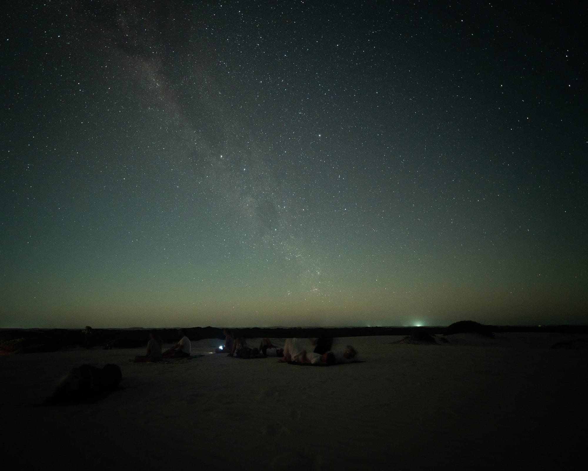
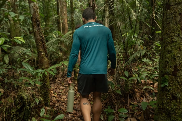
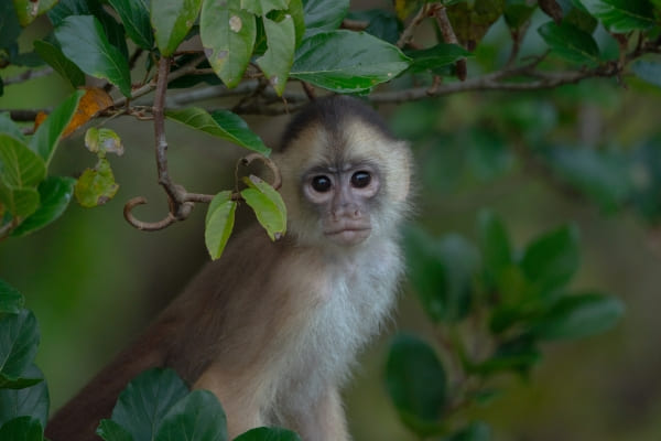
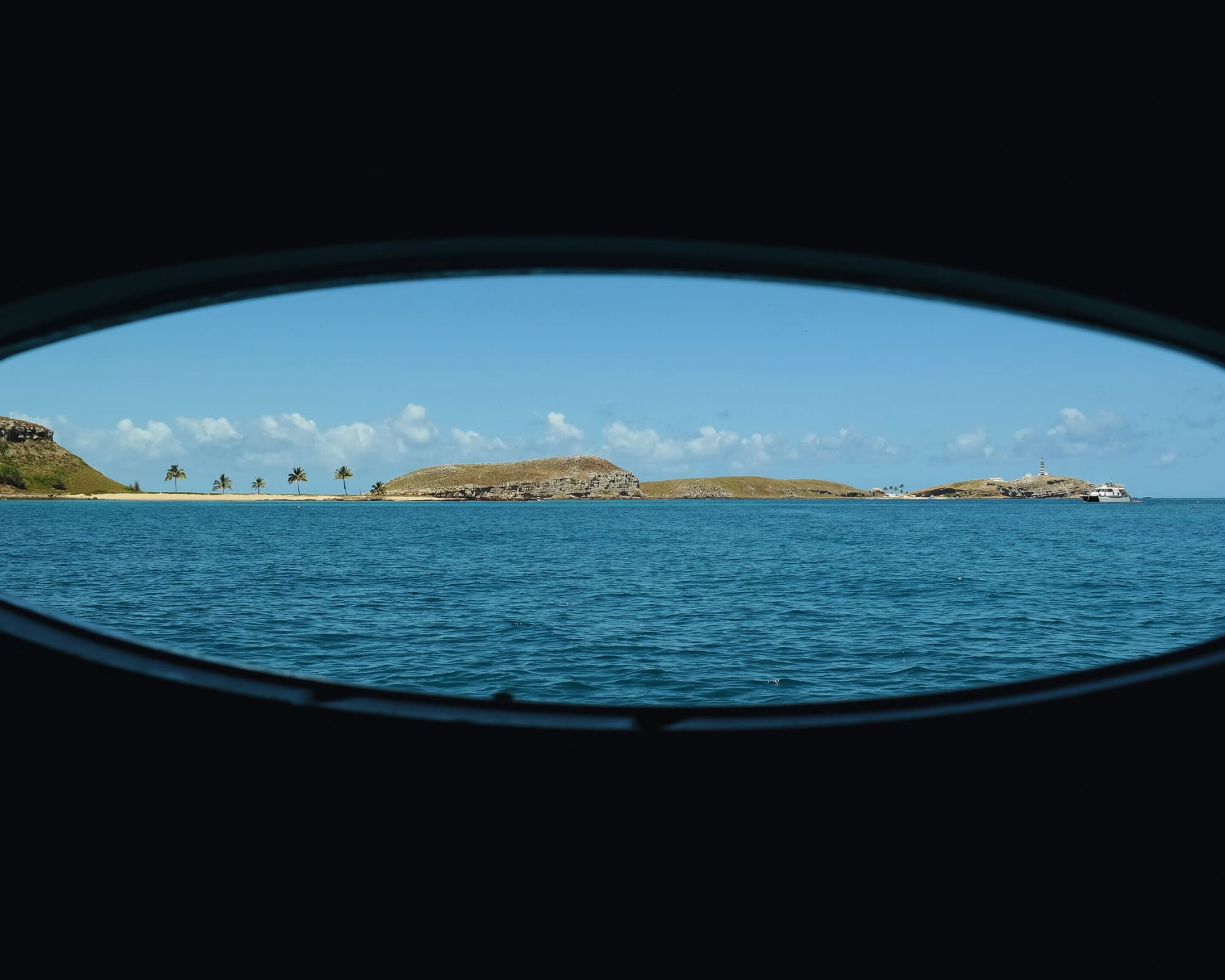
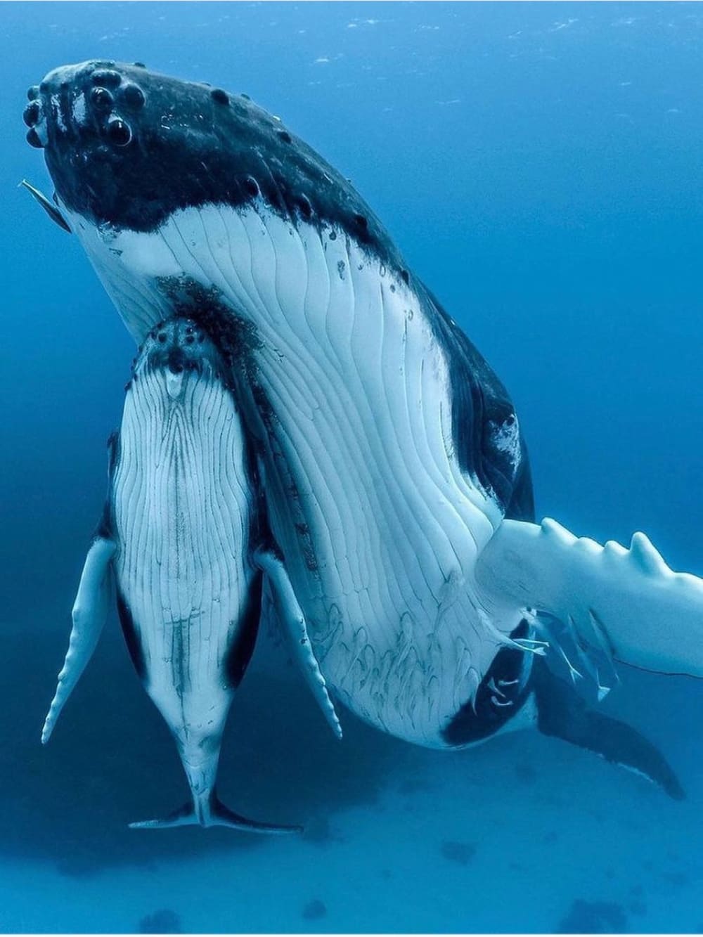
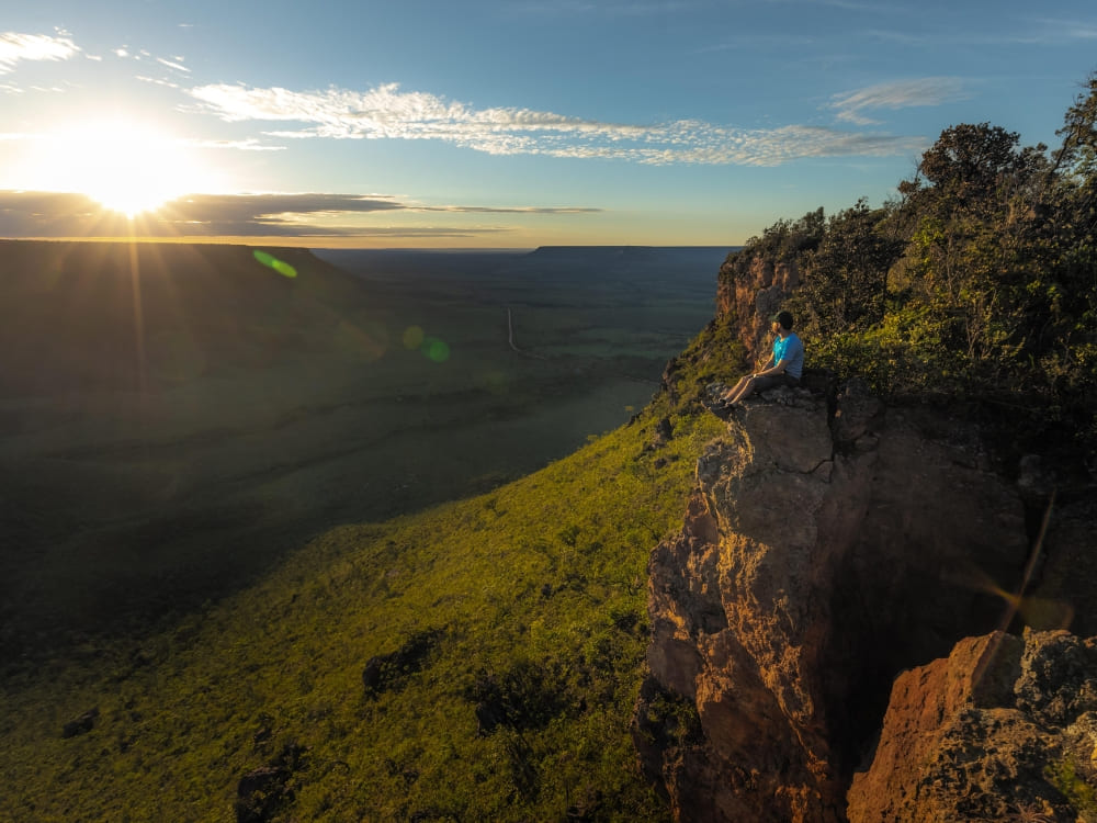
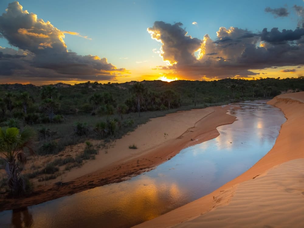
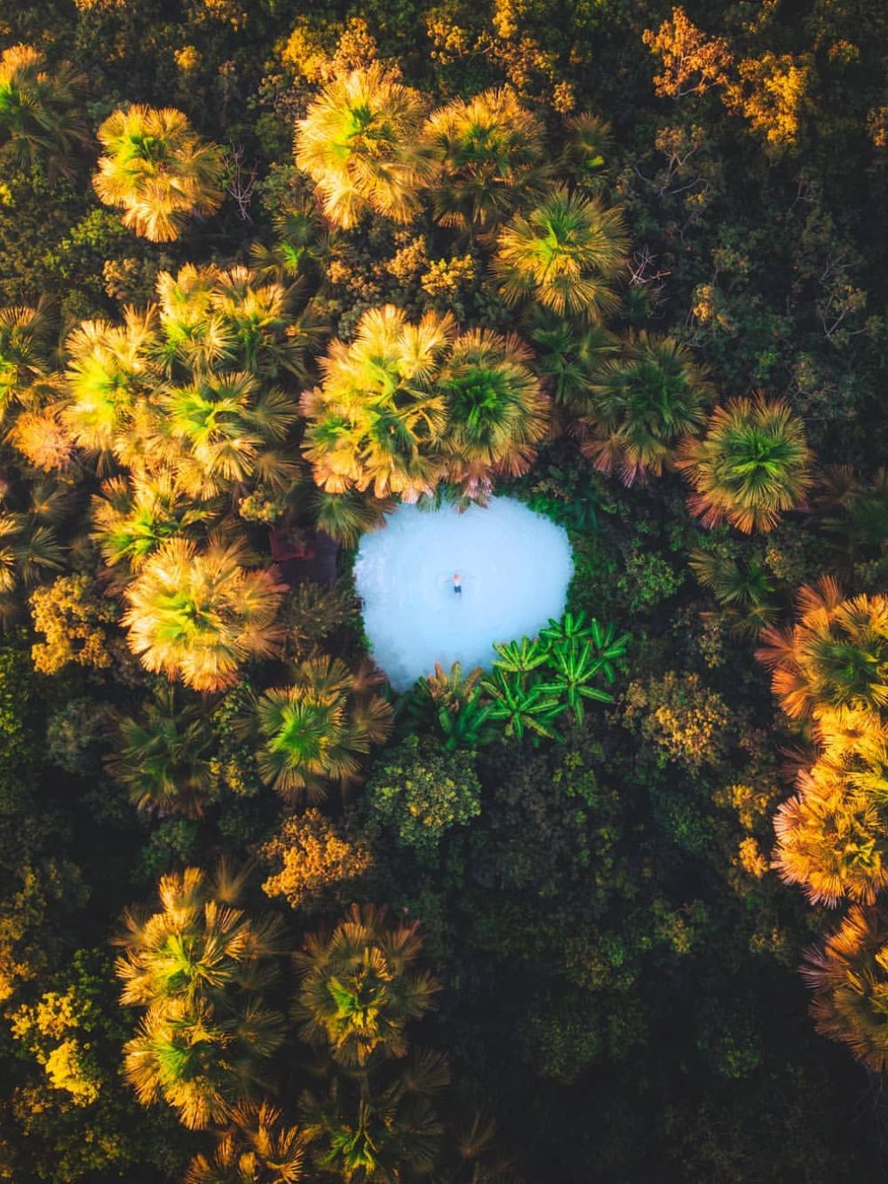
2025 was a special year for travel in Brazil and for everyone who chose to experience the country through nature
At PlanetaEXO, we welcomed more than 1,000 international travelers over the year, all looking for journeys that went beyond short visits and famous highlights.
When we look back at what travelers shared after their trips, through verified reviews and feedback, a clear pattern appears. The destinations that left the strongest impression were those where people could move through the landscape over several days, letting nature set the rhythm instead of following a tight schedule.
Beyond the landscapes themselves, these journeys also stood out for the positive impact they create at each destination, supporting local communities, valuing local knowledge, and traveling in a way that respects the places visited.
Five-star destinations that stood out in 2025, shaped by the adventures travelers valued most.
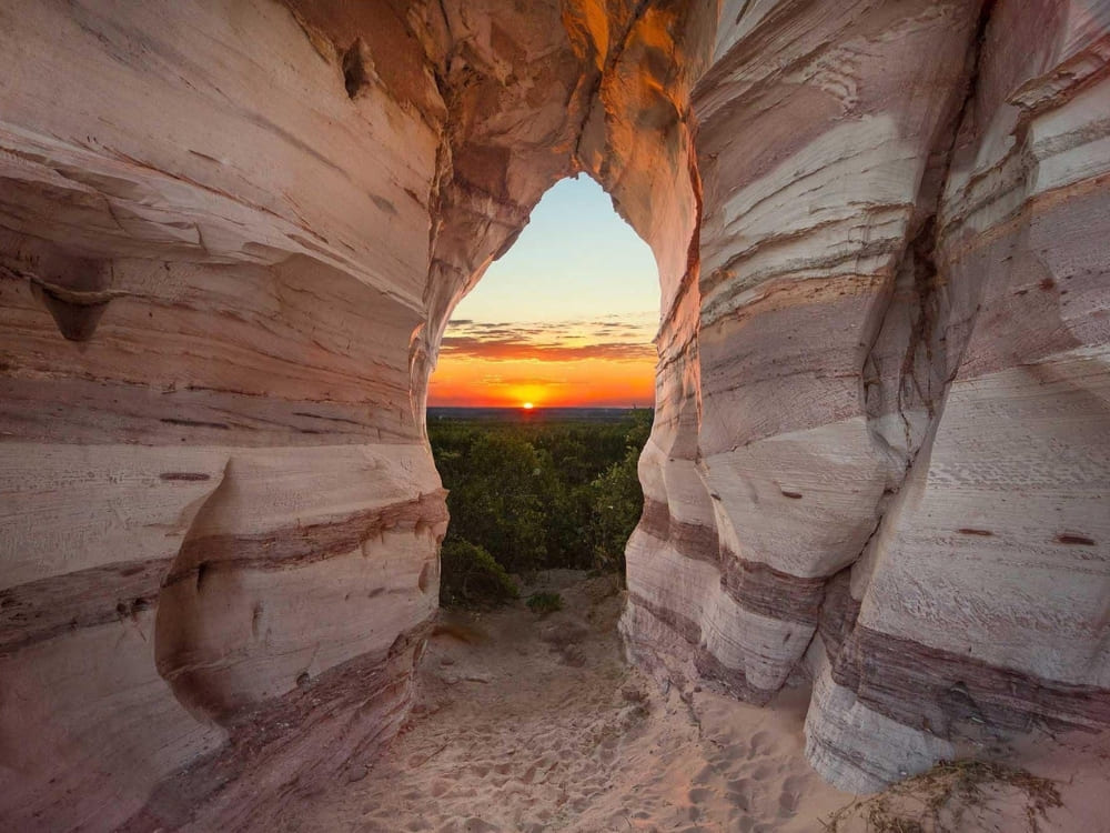
Lençóis Maranhenses
Walking routes that turn dunes and lagoons into a multi-day journey
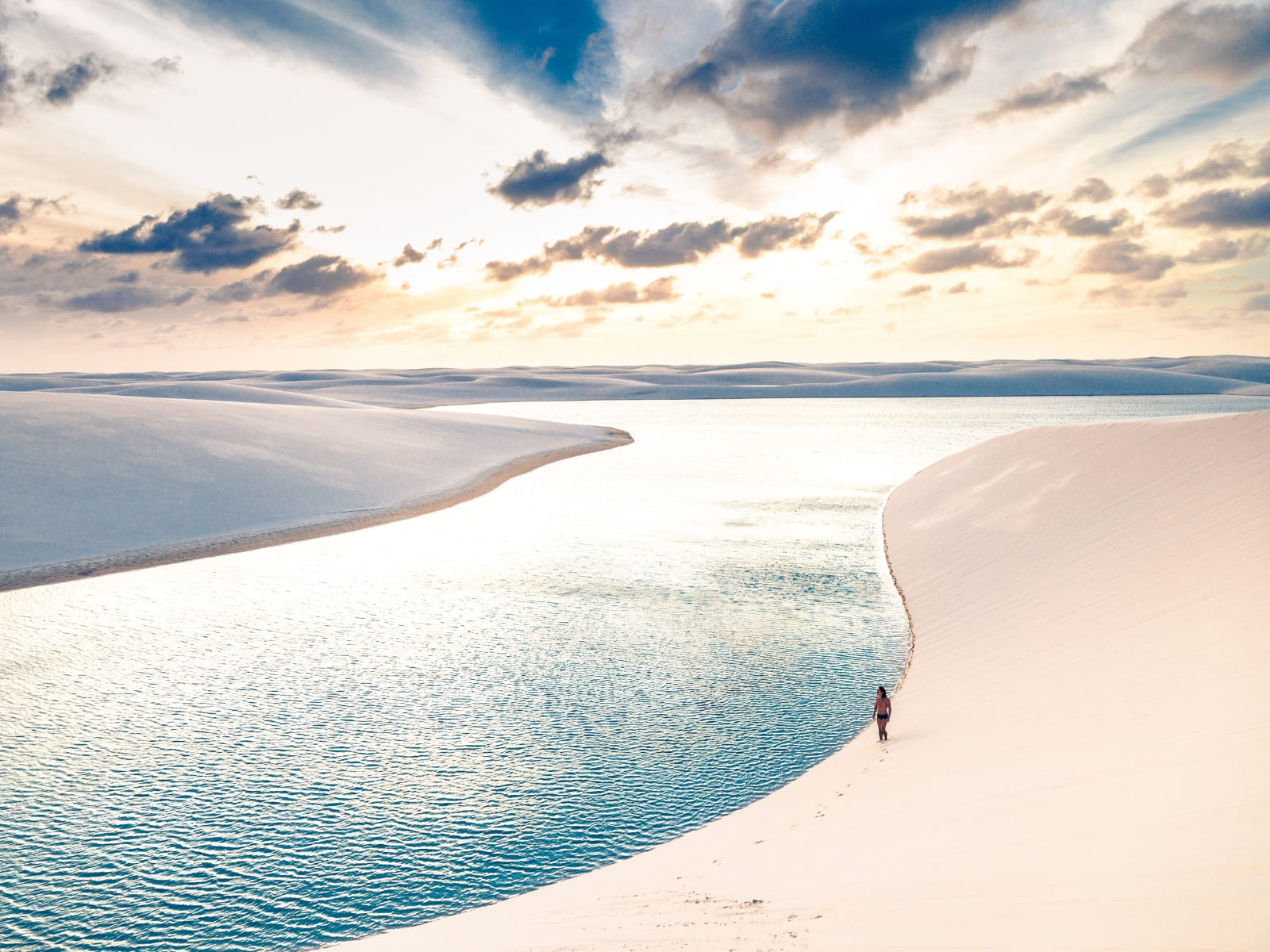
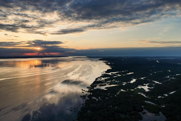
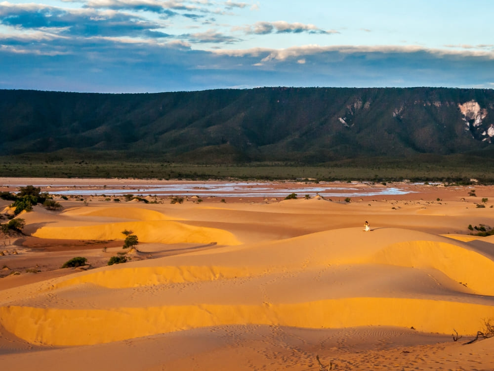
Lençóis Maranhenses was the destination most often mentioned throughout the year. What travelers appreciated most were the multi-day trekking routes across the national park, where the journey happens entirely on foot.
Adventurers cross wide dune fields, swim in seasonal freshwater lagoons and spend nights in small villages along the way. Many people describe the experience as crossing a living landscape that changes every day.
An unforgettable experience. Brazil reveals itself here, in Lençóis, through landscapes that are incredible and truly unique in the world.
Multi-day hikes through deep valleys and local communities
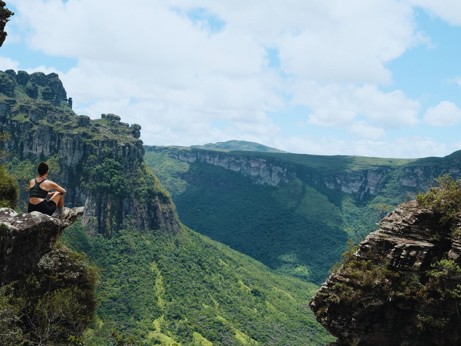
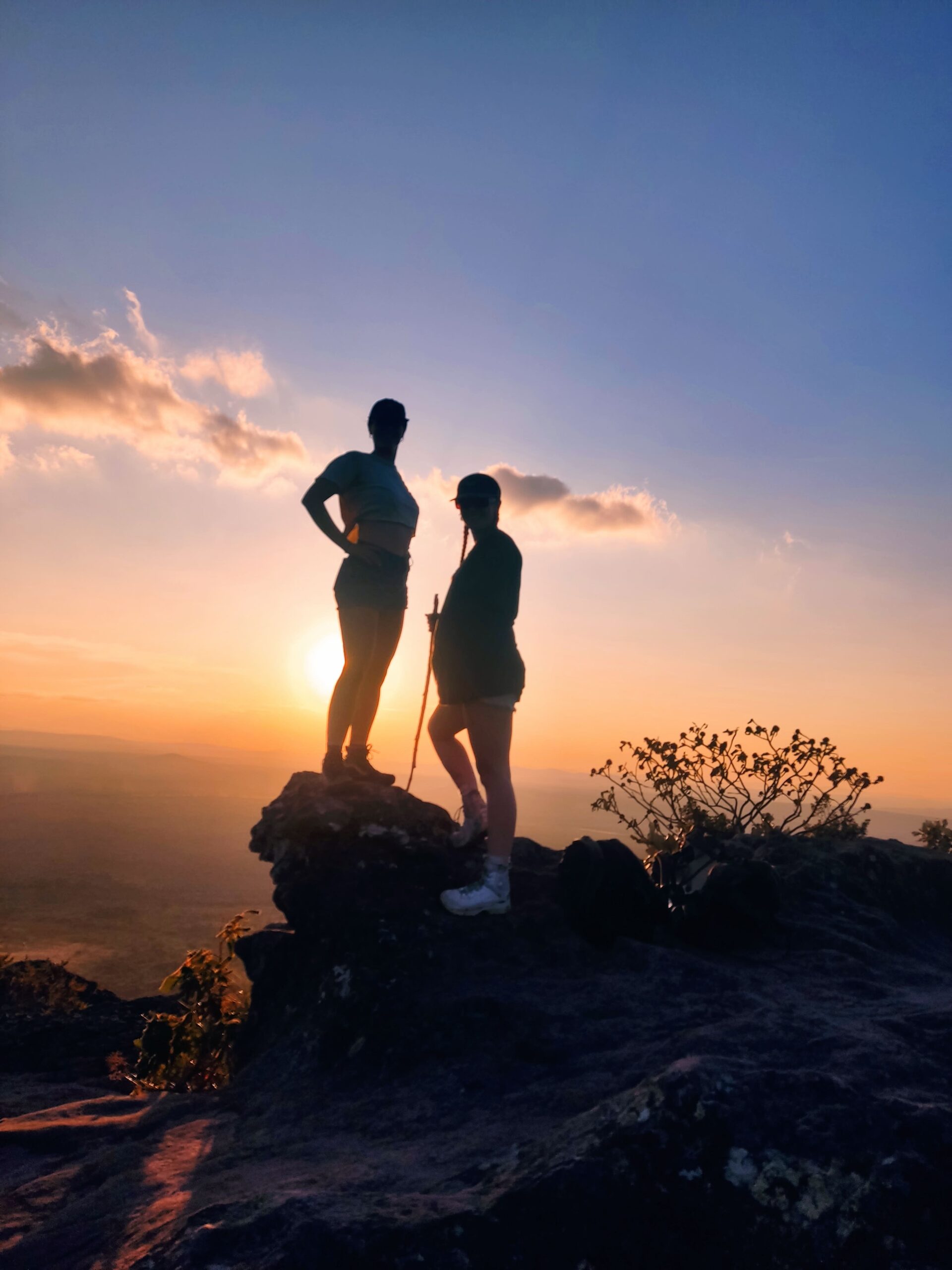
In the Vale do Pati, in Chapada Diamantina, travelers consistently highlighted the classic multi-day trek through the valley as one of the most meaningful experiences of their time in Brazil.
Days are spent hiking between viewpoints, waterfalls and river crossings, while nights are spent in the homes of local families who live inside the park. What stays with many travelers is the sense of continuity — walking all day, sharing meals and waking up surrounded by the same landscape.
From start to finish the whole trip was amazing. The valley is stunning, the hikes were well planned, and the hosting families made the experience even more special.
From jungle lodges to survival expeditions deep in the rainforest
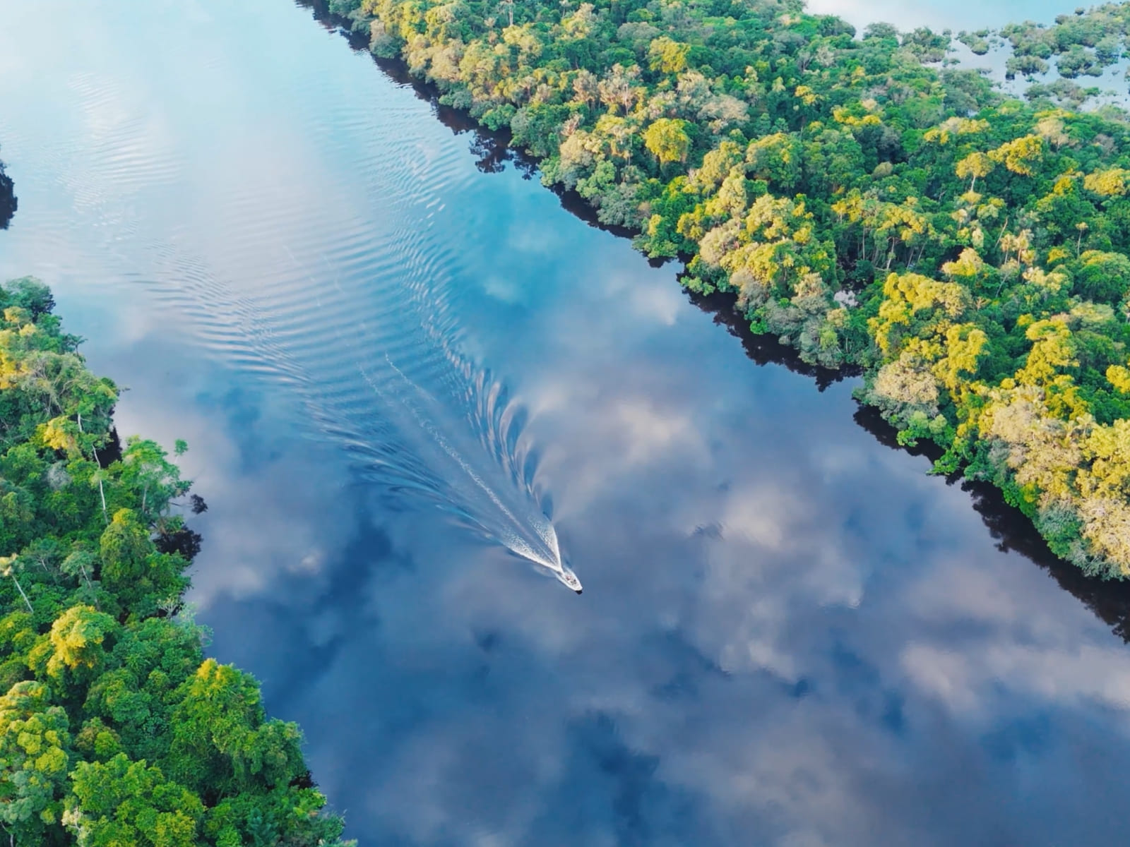
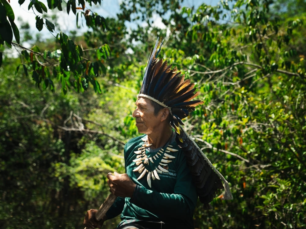
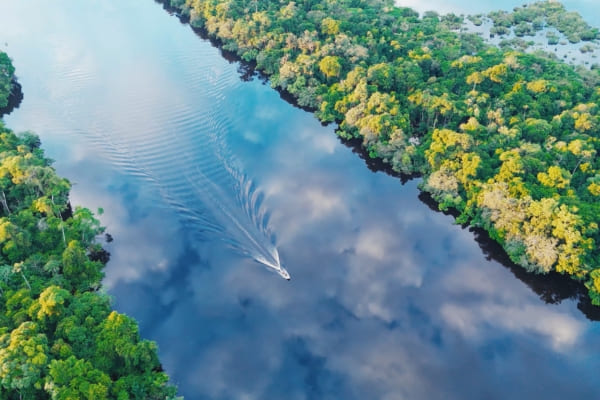
The Amazon stood out in 2025 for offering two very different ways of experiencing the rainforest, both leaving a strong impression on travelers.
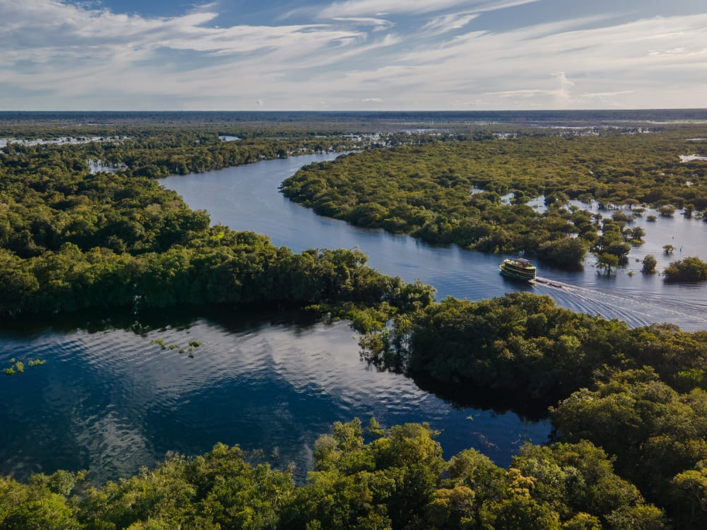
Some chose classic Amazon jungle lodge adventure, combining river navigation, forest walks and wildlife observation. Others opted for longer survival-style expeditions, learning how to move, navigate and live in the forest over several days.
The lodge and tour were perfect. I learned so much about Amazon, it's people and the wildlife and flora.
Wildlife encounters shaped by open landscapes and rivers
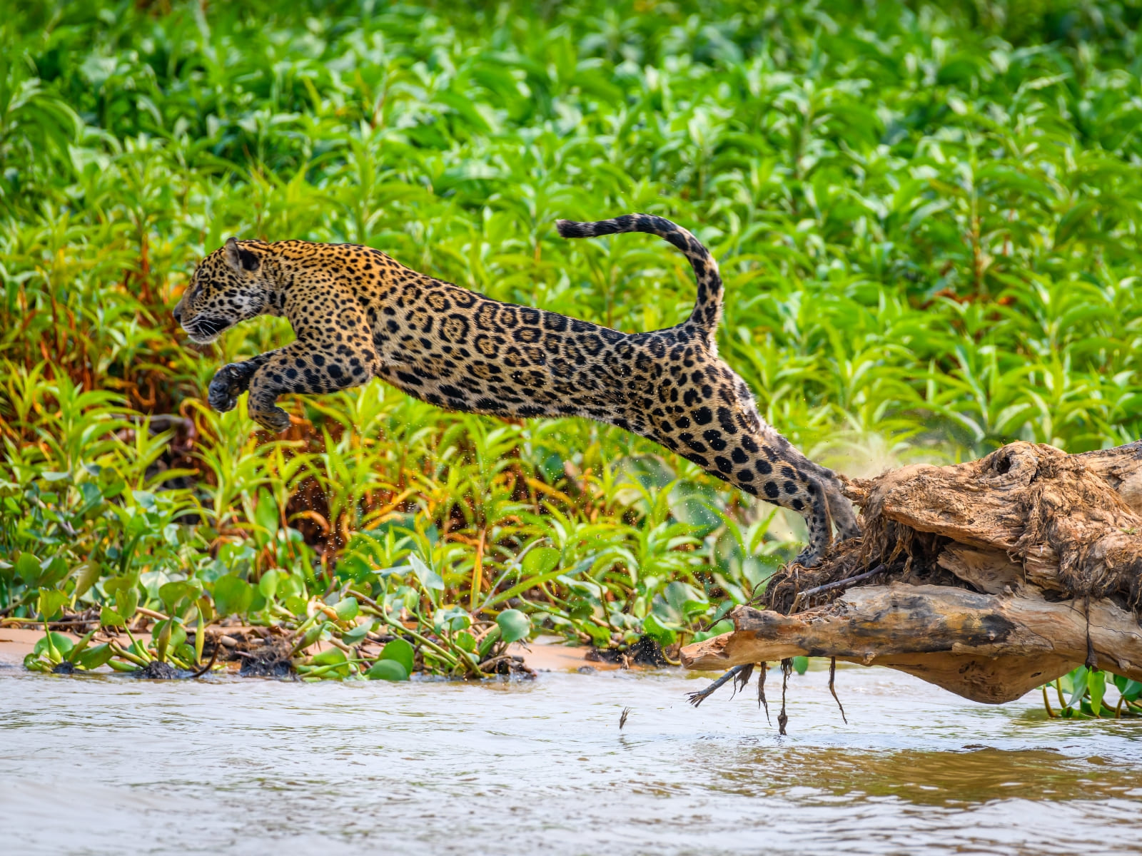
In the Pantanal, what travelers remember most is how natural wildlife encounters feel. The open floodplains and rivers allow people to observe animals without long waits or artificial setups.
Many adventurers mention seeing iconic species — including jaguars — early in the trip, which often defines the tone of the days that follow.
A wonderful experience in a beautiful environment. We saw a jaguar on the first day and many other animals during the trip.
Remote Cerrado landscapes that reward those who go further
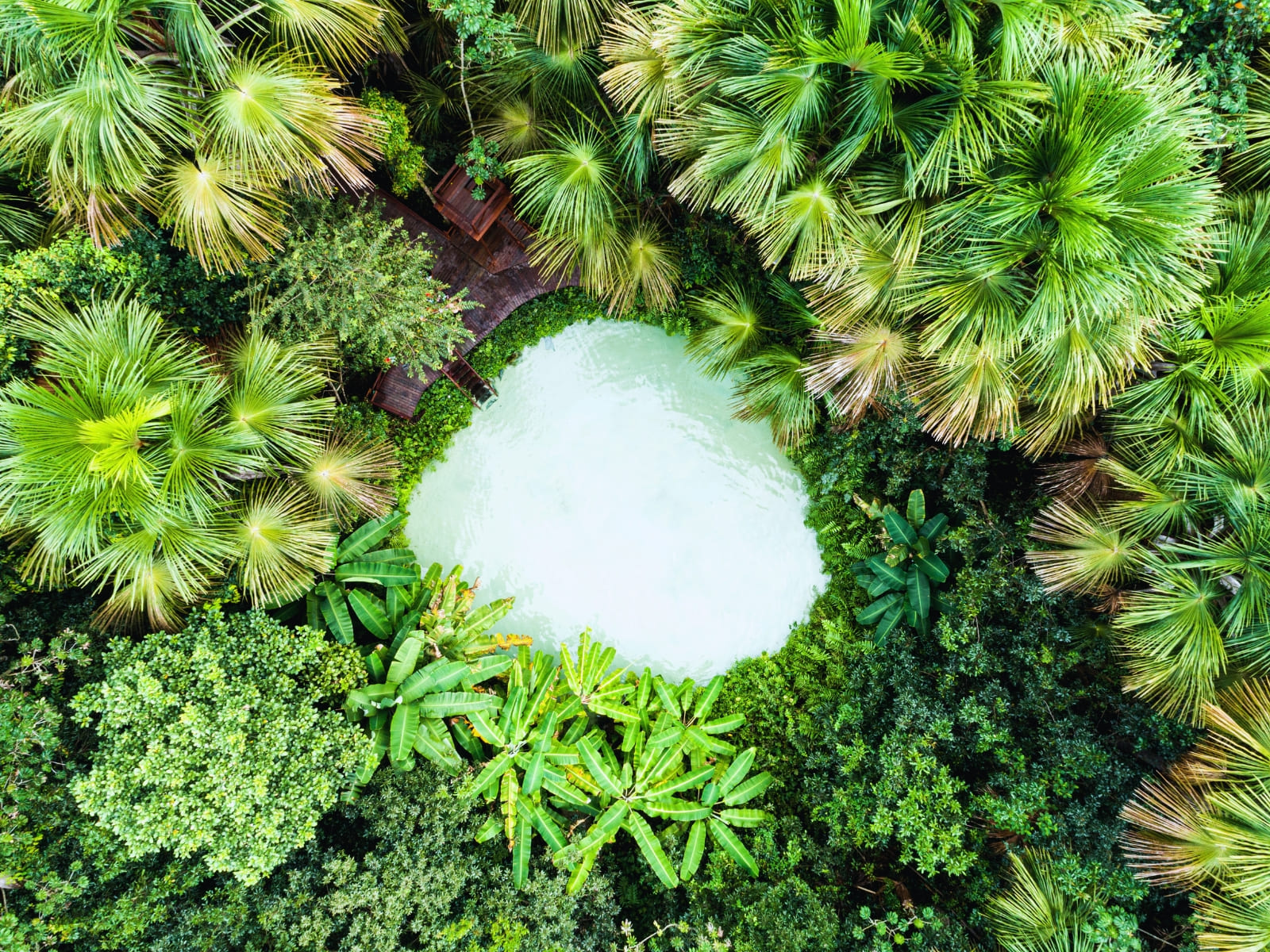
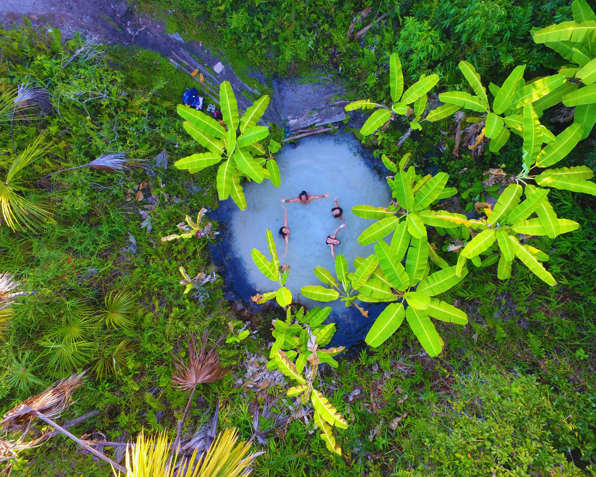
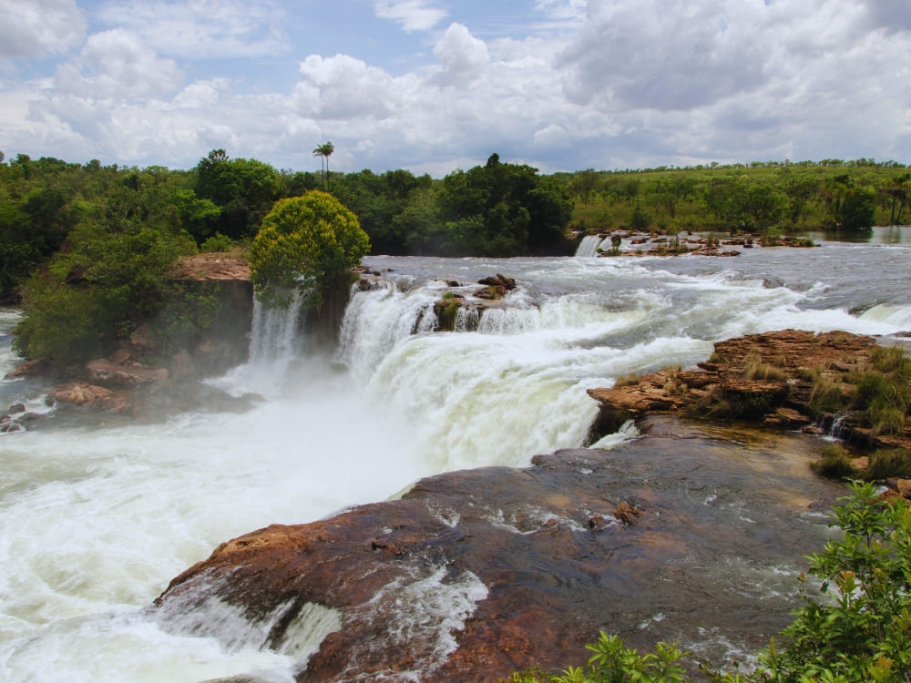
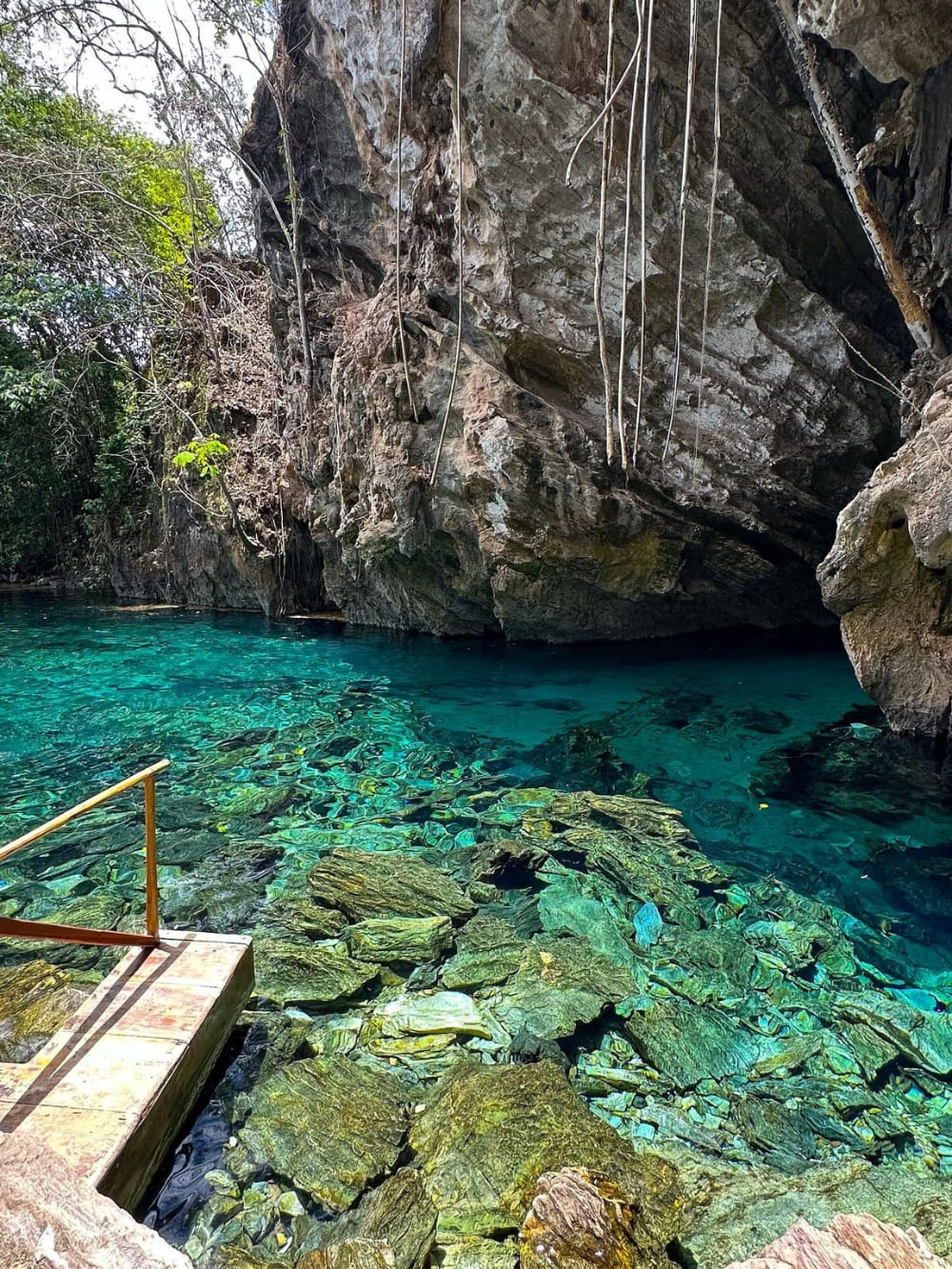
Jalapão surprised many travelers in 2025. The most appreciated experiences were multi-day expeditions across the Cerrado, connecting sand dunes, waterfalls, fervedouros (natural springs) and long stretches of open land.
People often describe how distance, dirt roads and long driving days are not inconveniences, but essential parts of what makes the journey feel real and memorable.
Sensational. Jalapão is breathtaking. Incredible landscapes, perfect organization, and very professional guides. An unforgettable experience.
What these journeys say about how people want to travel
Across all five destinations, one thing becomes clear: people are choosing trips that give them time to be present. Journeys that unfold over several days, where movement through the landscape matters more than ticking off stops, and where nature sets the rhythm of each day.
If this way of traveling resonates with you, 2026 is a great moment to start planning. These destinations, and the adventures within them, are exactly where many travelers begin when they’re looking for a deeper, more meaningful way to experience Brazil.
👉 Join us on five-star adventures that make a positive impact.
PlanetaEXO documentary reveals how sustainable travel advances forest conservation, local actions that put climate discourse into practice and strengthen Amazonian communities.
São Paulo, November 2025 – Following the conclusion of COP30 in Belém, a new documentary reinforces that protecting the Amazon increasingly depends on local and continuous action. The sustainable travel platform PlanetaEXO has just released “Tourism that Keeps the Amazon Alive,” a 5-minute film that portrays how Amazonian communities are transforming tourism into an effective strategy for conservation and income generation.
The mini-documentary directed by Lucas Ribeiro, who is also the founder and CEO of PlanetaEXO, features accounts from residents who have replaced old extractive activities with community-based tourism models. By accompanying visitors, sharing traditional knowledge, and directly caring for the territory, they demonstrate that it is possible to keep the forest alive while strengthening their local economies.
Recent figures reinforce the urgency of this movement. Between August 2024 and July 2025, the Legal Amazon recorded 5,796 km² of deforestation, the lowest rate in more than a decade, according to PRODES/INPE. Even so, degradation caused by fire already accounts for almost 40% of recent losses, indicating that pressure on the biome remains high. For many families, tourism is emerging as a concrete alternative to remain in the territory without resorting to practices that compromise the forest.
One of the most striking testimonials in the film sums up this change in perspective. “Tourism showed me that price is different from value. A caboclo cuts down a 300-year-old tree to buy a chicken for lunch and ends up without dinner. That’s price. But when you understand value, that’s when things start to change,” says Roberto Britto, a former logger and current tourism entrepreneur.
Tourism showed me that price is different from value. A caboclo cuts down a 300-year-old tree to buy a chicken for lunch and ends up without dinner. That’s price. But when you understand value, that’s when things start to change.
Roberto Britto
PlanetaEXO has observed a growing interest in responsible travel, which strengthens community projects and amplifies the positive impact of ecotourism. In 2025, the platform recorded a 210% increase in the number of tourists in the Amazon compared to the previous year, with visitors coming from the United States, France, Germany, and other countries.
World Bank data shows that sustainable tourism already generates around US$ 2.3 billion per year in the Amazon. The figure is still far from the US$ 45 billion generated by extractive activities, but it is a new and growing market. The PlanetaEXO documentary highlights the stories of forest dwellers who have discovered responsible tourism as a more sustainable source of income.
“The film focuses on the people behind these efforts. In their own words, they describe how tourism has transformed their daily lives, brought them independence, and offered a dignified alternative to extractivism,” says Lucas Ribeiro. These accounts complement, in a concrete way, the climate discussions raised during COP30.
Technical Data Sheet “Tourism that Keeps the Amazon Alive”
Format: Documentary
Duration: 5 minutes
Director: Lucas Ribeiro Interviews: Larissa Mariano and Isadora Sá
Production Assistant: Lucas Pinelli
Participants: Joarlison Garrido – Nova Esperança Community; José Pancrácio – Nova Esperança Community; Roberto Brito – Tumbira Community; and Izolena Garrido – Tumbira Community
Discover the unique stories, history, and biodiversity that make the Abrolhos archipelago one of Brazil’s most fascinating marine destinations.
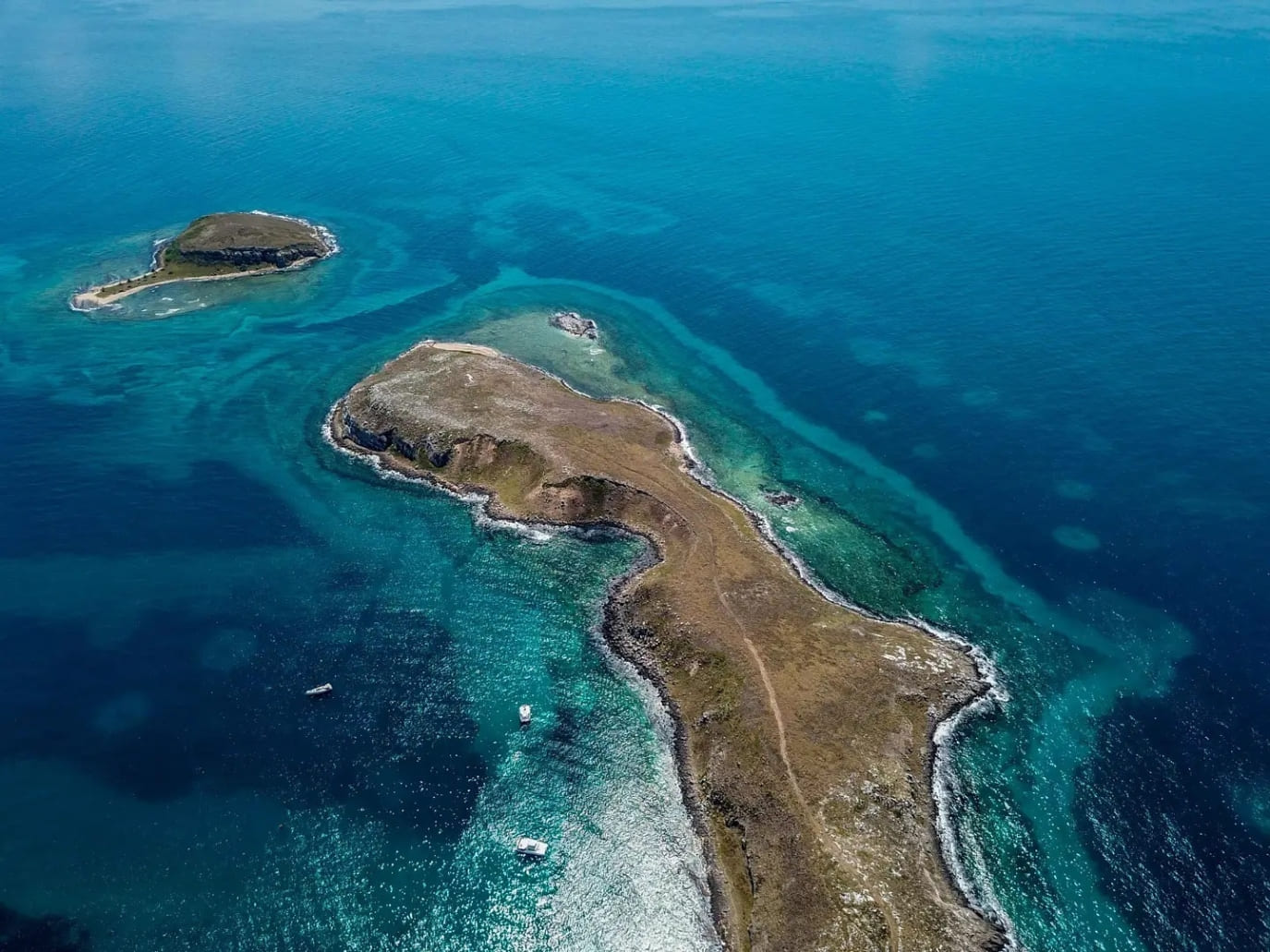
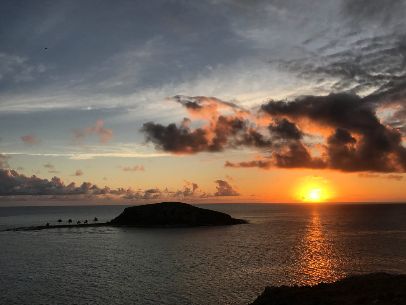
The Abrolhos archipelago, off the southern coast of Bahia, Brazil, is recognized as one of the most extraordinary marine environments in South America. For those interested in learning more, there are fascinating facts about Abrolhos waiting to be discovered. Brazil created the Abrolhos Marine National Park in 1983, ensuring protection for this remote group of islands and reefs.
You can reach Abrolhos by boat from Caravelas, a small coastal town in Bahia. The surrounding waters are shallow, yet they contain an incredible concentration of nutrients. As a result, they provide ideal conditions for coral reefs, colorful fish, and larger marine species such as humpback whales.
.
When you travel with PlanetaEXO, your visit not only connects you with this unique ecosystem but also supports local families. In addition, every adventure contributes to conservation and generates income for nearby communities.
Curious to explore unique facts about Abrolhos? Keep reading to uncover the most surprising details about this marine paradise.
1. What does the name Abrolhos mean in English?
The name “Abrolhos” comes from the old Portuguese phrase “Abre os olhos”, which in English means “open your eyes.” Sailors used the warning to remind each other of the dangerous reefs that caused countless shipwrecks.
The reefs of the Abrolhos archipelago stretch across vast areas and remain difficult to detect from a distance. Consequently, they posed serious risks for ships navigating the Brazilian coast for centuries.
Even today, nautical maps mark Abrolhos with alerts. This legacy connects modern travelers with Brazil’s seafaring history and explains why Abrolhos always demanded attention and respect.
In 1832, the young naturalist Charles Darwin visited Abrolhos during his voyage on the HMS Beagle. At just 23 years old, he took notes on the region’s reefs and marine life.
Darwin described the abundance of fish, the seabirds nesting on rocky cliffs, and the unusual coral formations. These observations, although brief, helped strengthen his interest in biodiversity and adaptation.
His visit remains one of the most remarkable facts about Abrolhos, since it connects this remote archipelago to the early journey of a scientist who would later change how we understand life on Earth
Photo: Wellcome Library, London
3. Abrolhos as a living laboratory
Abrolhos functions as a living laboratory for science. Researchers from Brazil and abroad visit regularly to study coral resilience, whale migration, bird colonies that nest on the islands, and sea turtles that use the reefs as feeding grounds.
In addition, international projects test new conservation methods here before applying them in other marine parks. These studies turn Abrolhos into a reference point for understanding the effects of climate change.
For travelers, this scientific importance adds another layer of meaning. Exploring Abrolhos becomes not only an adventure but also an opportunity to witness how knowledge grows.
.
4. Safe waters for humpback whales
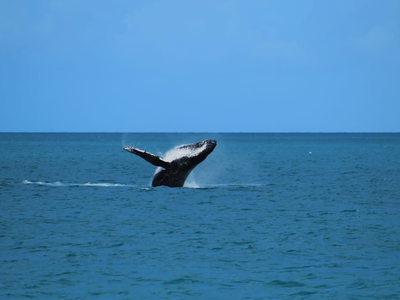
Every year, from July to November, the calm and warm waters of Abrolhos welcome thousands of humpback whales migrating from Antarctica.
Marine biologists consider the area the most important breeding ground for humpbacks in the South Atlantic. As a result, visitors often see mothers swimming with calves or watch whales breaching the surface in spectacular displays.
Whale-watching tours from Caravelas rank among the most popular experiences for those planning what to do in Abrolhos, combining excitement with education about conservation.
Abrolhos stands out as one of the richest marine ecosystems in Brazil. More than 1,300 species live here, including fish, dolphins, sea turtles, and seabirds. Many of them are endemic, existing only in this part of the country.
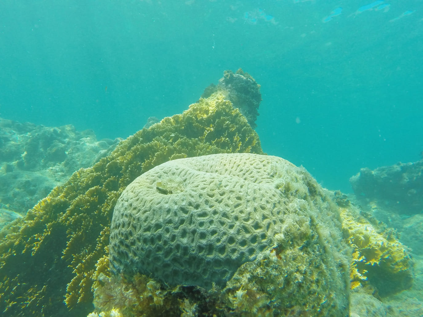
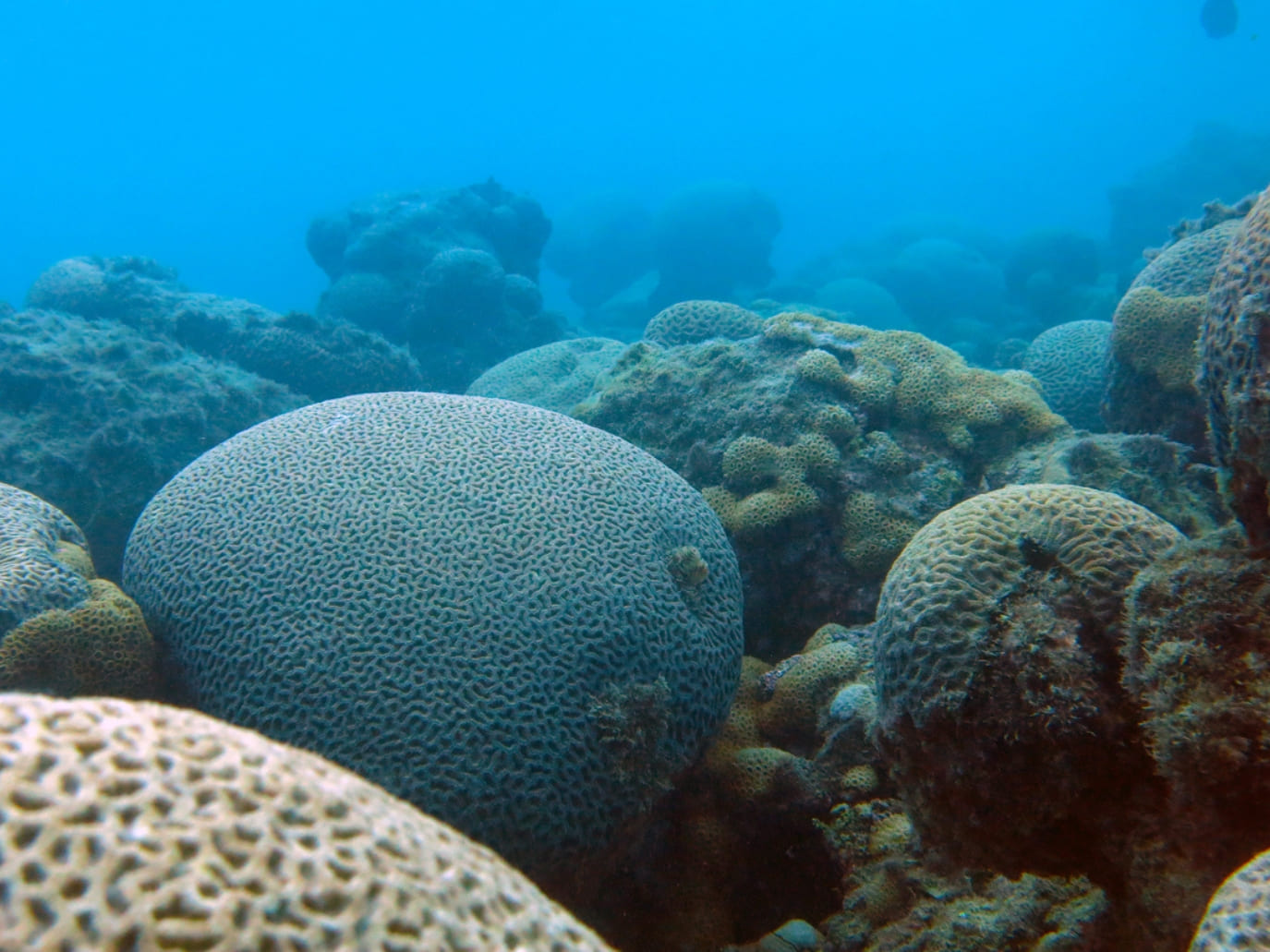
One of the most emblematic species is the brain coral (Mussismilia braziliensis). It forms massive reef structures and appears only in Abrolhos. In fact, this coral was one of the main reasons the park was created, since it plays a vital role in maintaining ecological balance.
Unfortunately, the brain coral faces serious threats. Scientists monitor bleaching, diseases such as white plague and black band, overfishing, and the impacts of climate change. Its fragility highlights the urgency of protecting the Abrolhos archipelago.
Photo: Gustavo Abrahim
6. Santa Bárbara Island, home to the Navy
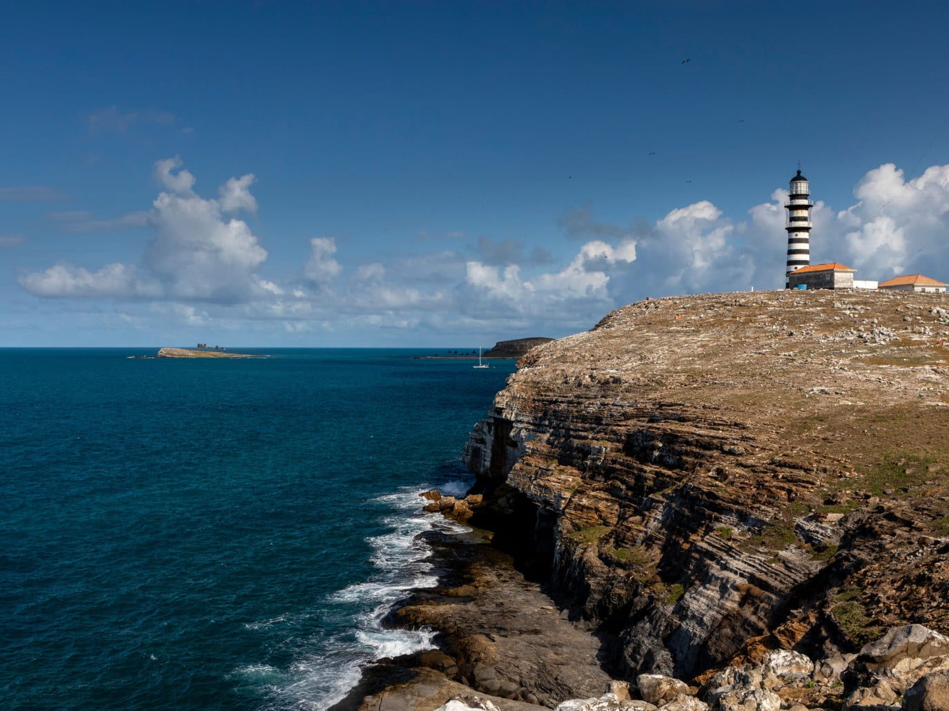
While most islands in Abrolhos remain untouched, Santa Bárbara Island houses a naval base. A lighthouse built in 1861 continues to guide ships, and military families live there with a small infrastructure that includes a heliport and boat docks.
Tourists, however, cannot disembark on Santa Bárbara. Access is strictly controlled, and visits are limited to the waters around it. As a result, the rest of the archipelago remains free from human disturbance.
This restriction demonstrates how careful management helps preserve the islands while still supporting national security.
Photo: Gabi Carrera, Marinha do Brasil
7. Volcanic origins and hidden reefs
The islands of Abrolhos originated from ancient volcanic activity. Their basalt foundations gave corals a surface to colonize and expand into complex reef systems.
In addition to shallow reefs, Abrolhos also features mesophotic reefs. These occur at medium depths and host species not found in shallower waters. For instance, the Califórnia Reef has become a key site for marine research.
Together, geology and biology created a three-dimensional ecosystem. This unique formation helps explain why Abrolhos became such a hotspot for scientific study.
.
8. Navigation dangers and historic battles
The reefs of Abrolhos always challenged sailors. Numerous shipwrecks tell stories of navigational errors, sudden storms, and naval conflicts.
In 1631, Dutch and Portuguese-Spanish fleets fought a naval battle near the islands. Some wrecks from these times still rest on the seafloor, blending history with marine life.
Today, divers explore these underwater relics, while historians study them to better understand Brazil’s colonial past. This combination of culture and nature enriches the list of facts about Abrolhos.
.
9. International recognition and conservation challenges
Abrolhos has earned global recognition. It is both a Ramsar Site for its wetlands and an outpost of the UNESCO Biosphere Reserve of the Atlantic Forest. These titles highlight its ecological value.
Nevertheless, the park faces ongoing threats, including climate change, illegal fishing, and potential oil exploration. Scientists track the reefs to understand how these pressures alter the ecosystem.
Therefore, responsible tourism becomes essential. Visitors contribute directly to conservation by supporting sustainable operators and respecting park rules.
Photo: Gustavo Abrahim
10. The chapeirões found only in Abrolhos
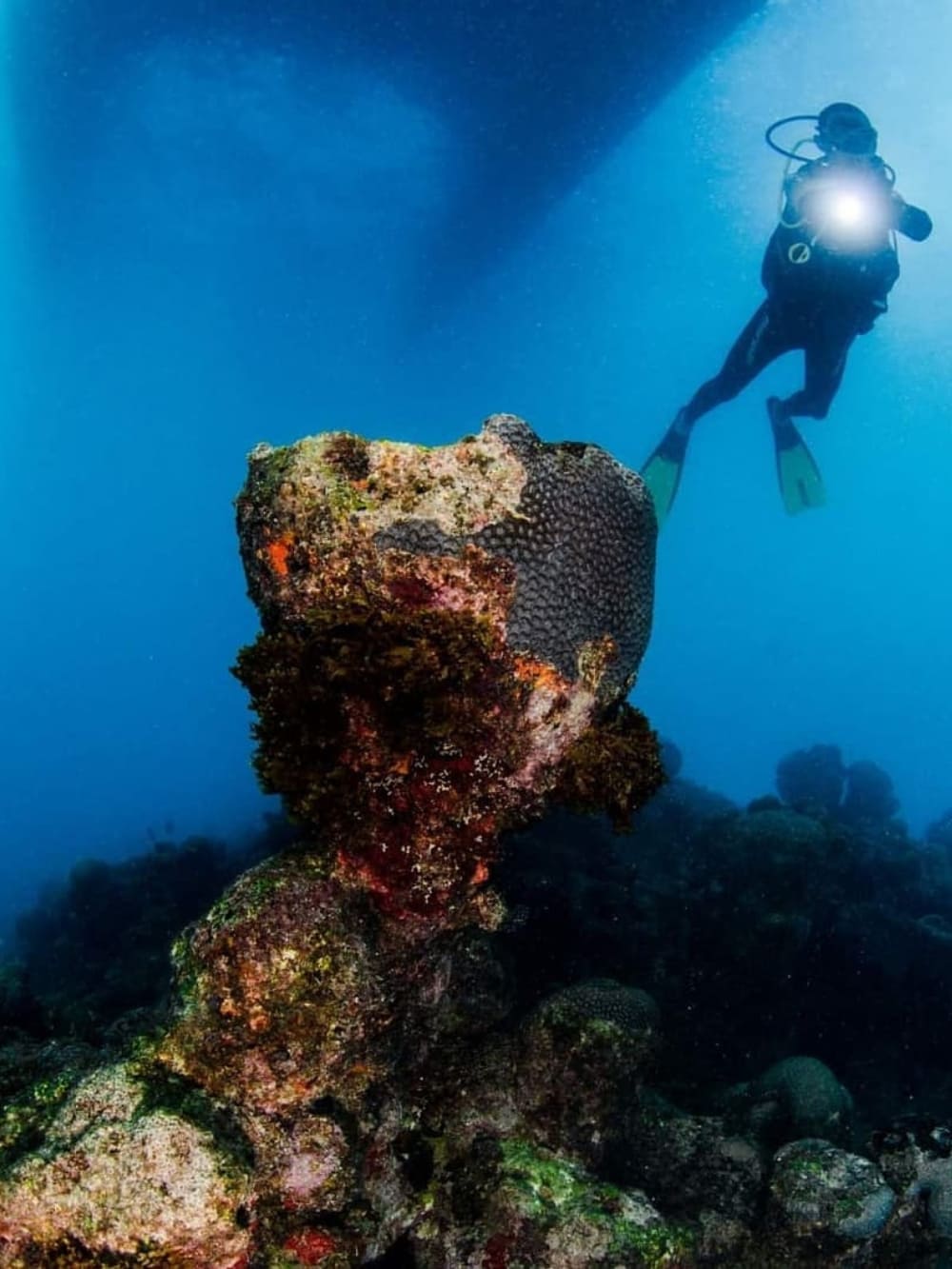
One of the most striking natural features of Abrolhos is the chapeirões. These mushroom-shaped coral towers rise dramatically from the seafloor, sometimes reaching 25 meters in height.
Each level of a chapeirão shelters different species: sponges and fish at the base, vibrant corals in the middle, and schools of fish feeding near the top. Their structure creates vertical habitats found nowhere else in Brazil.
For divers and snorkelers, exploring these formations is often the highlight of visiting the Abrolhos archipelago.
Choosing PlanetaEXO means traveling with purpose. Each trip generates income for local families, helping communities thrive through tourism.
We believe that every adventure can create a positive impact for travelers, for nature, and for the people who live nearby.
When you visit Abrolhos with us, you not only enjoy an extraordinary destination but also contribute to its protection. That’s one of the best facts about Abrolhos of all.
Learn the main routes, airport details, and travel tips for a smooth journey to Fernando de Noronha islands paradise
Fernando de Noronha is a UNESCO World Heritage Site and one of Brazil’s most preserved Marine National Parks. With controlled tourism and a daily visitor cap, the island is known for its clear waters, coral reefs, and rare wildlife.
Sea turtles, dolphins, and colorful fish are part of its daily scenery, making it a hotspot for ecotourism and marine research. Its natural beauty comes with responsibility: strict rules help protect biodiversity.
.
PlanetaEXO works with local partners to promote sustainable tourism, offering trips that combine comfort, authenticity, and respect for nature. In this guide, we will explain how to get to Fernando de Noronha, with flights, routes, fees, and practical details.
How to get to Fernando de Noronha?
By plane
The fastest and most common way to reach Fernando de Noronha is by air. Until recently, the island was only serviced by daily flights from Recife (REC) and weekly flights from Natal (NAT). Since 2024, LATAM has also operated direct flights from São Paulo’s Guarulhos Airport (GRU).
The new São Paulo connection runs five times a week (Mondays, Wednesdays, Thursdays, Fridays, and Sundays) and takes around 3h50. This route significantly expanded international access to the island, as Guarulhos is Brazil’s largest international hub, receiving flights from Europe, the United States, and beyond.
@souza_aviation
How to get to Fernando de Noronha from the UK?
For travelers coming from Europe, the easiest entry points remain the non-stop flights from Lisbon (LIS) to Recife or Natal. Another option is to fly through São Paulo, which connects directly to Noronha or offers quick domestic connections of 3-4 hours to Recife or Natal.
How to get to Fernando de Noronha from Rio de Janeiro?
For travelers from Rio de Janeiro, the most common route is connecting through Recife (REC) or São Paulo (GRU). From Recife, it’s a short 1h15 flight to the island, while from São Paulo, you’ll catch the direct flight which takes just under 4 hours.
For visitors from the US, flying into São Paulo is also the best alternative, followed either by a direct flight to the island or a short domestic connection.
Fernando de Noronha Airport (FEN)
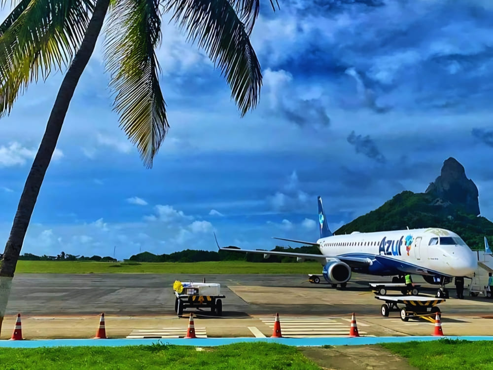
The Governador Carlos Wilson Airport (FEN) is the island’s only airport, built in the 1930s and modernized to serve ecotourism. It sits in the center of the island, close to Vila dos Remédios and most accommodations.
Small in size but functional, FEN receives daily flights from Recife and Natal, and now a direct line from São Paulo. The airport is easy to navigate, with quick transfers to hotels and pousadas.
On any Fernando de Noronha map, you will notice how strategic the airport is, reducing travel time on arrival and making logistics simple for visitors.
Recife (REC): The most reliable hub, with multiple daily flights to Noronha. Flights take about 1h15.
Natal (NAT): A smaller hub with direct flights of about 1h20.
São Paulo (GRU): Brazil’s largest international airport, with connections worldwide. From Guarulhos, the direct LATAM route to Noronha takes under 4 hours.
Is it possible to reach Fernando de Noronha by boat? Yes, but not through regular ferries. The island’s remote location (about 545 km from Recife) makes routine services impossible.
Some sailing expeditions and private yachts arrive on the Fernando de Noronha islands, but they must follow strict entry requirements and coordinate with authorities. For most travelers, boats are not a realistic option.
Photo: Fernando Klark
Cruises
A few international and Brazilian cruises include Noronha in their itineraries. These usually depart from Recife, Natal, or other South American ports as part of longer Atlantic journeys. Stops are typically short, lasting half a day to one day, giving passengers time to explore beaches or take a guided tour.
These rare visits provide a different perspective of the island: approaching its volcanic cliffs and turquoise bays from the ocean. While not as flexible as air travel, they remain an option for travelers who enjoy sea expeditions.
Travelers do not need a special visa to visit Fernando de Noronha, but they must follow Brazil’s general entry rules depending on nationality. Citizens from countries with visa agreements can stay up to 90 days, while others need a tourist visa before arrival. Always check your passport validity and requirements before flying.
In addition to immigration rules, every visitor must pay two local fees: the daily Environmental Preservation Tax (TPA) and the Marine National Park ticket, valid for 10 days. These fees are mandatory and directly support conservation and infrastructure.
Photo: Zaira Matheus
Another essential point is planning ahead. Fernando de Noronha has a legally established limit of 132,000 visitors per year and 11,000 per month, based on an agreement between Pernambuco and federal authorities.
A new Carrying Capacity Study is underway to reassess these numbers, since some months in recent years exceeded the monthly limit. Booking early ensures you secure flights, hotels, and permits in this protected paradise.
After solving How do I get to Fernando de Noronha island?, it’s time to plan how to move around. The island is small, but transport options are varied:
Bus service: Runs regularly from Porto to Sueste.
Taxis and rides: More costly, but practical for short trips.
Buggy rentals: The most popular choice for freedom of movement.
Boat tours: Essential for reaching remote beaches and dive sites.
Hitchhiking: Surrisingly common and safe, reflecting the island’s small size and sense of community.
Visitors usually mix public transport with buggies or rides, making it easy to explore without missing the main highlights.
With PlanetaEXO, you get full support for flights, tours, and accommodations, while contributing to local communities. Our experienced guides know the island’s trails, waters, and culture.
We offer curated packages like the 2-Day Diving Package, 5-Day Diving Trip, and courses such as Open Water and Advanced Adventurer, combining top-level diving with sustainability for a safe and memorable experience.
With us, the answer to how to get to Fernando de Noronhacomes with the guarantee of authenticity, safety, and positive impact.
From the meaning of the name to its main attractions and rich history, learn everything about Jalapão in Brazil
Known for its remote beauty, Jalapão is a place where rivers form crystal-clear springs, sand dunes rise in the middle of the savanna, and communities preserve centuries-old traditions. These features make it a paradise for those who love both adventure and culture.
Photo: Rodrigo José Fernandes
But beyond the natural scenery, this destination carries stories that surprise even the most experienced travelers. From the formation of fervedouros to the craftwork of capim-dourado and the history of the quilombo territory, every Jalapão fact has a tale to tell.
Curious to learn more? PlanetaEXO, an ecotourism platform specializing in Jalapão tours, has put together a list with 10 fascinating facts about your next vacation spot. Check them out below!
1. Largest State Park in Tocantins
Created in 2001, the Jalapão State Park covers an area of 158,800 hectares. Not only is this the largest state park in Tocantins, but it’s also South America’s most significant savanna.
.
Extending itself across the municipalities of Mateiros and São Félix do Tocantins, Jalapão protects dunes, springs, waterfalls, and vast wildlife corridors as one of the most important conservation units of the Cerrado, a biome that has lost large portions of its native vegetation in recent decades.
2. The Meaning of “Jalapão”
Here’s a Jalapão fact that everyone’s curious about: What does the name mean?
According to historians, it’s linked to a local medicinal plant called jalapa. Once abundant in the region, it was heavily used for its healing properties and became a reference point for travelers and residents.
Photo: Linda De Volder
In Portuguese, the suffix “ão” suggests vastness or profusion. Therefore, the meaning of Jalapão is something like “the land with an abundance of jalapas,” reflecting both the natural resources of the past and the richness of today’s landscapes.
3. Once a Sea
Millions of years ago, Jalapão was covered by an ancient sea. The park’s rock formations, plateaus, and canyons are remnants of this prehistoric landscape. Sandstone walls, eroded over millennia, still reveal marine fossils and ripple marks.
.
This geological past explains the presence of wide sandy areas, rugged cliffs, and fertile valleys, while the constant action of water and wind has shaped the land into the unique combination of dunes, rivers, and springs we see today.
Travelers walking through Jalapão are essentially crossing what was once the seabed. Next time you hike its trails, imagine that the golden sand under your feet was part of a vast ocean floor!
4. The Fervedouros of Jalapão
How can water bubble endlessly from the ground without ever drying up? Jalapão’s fervedouros are natural karst springs formed when underground rivers push water through fine sand with high pressure. This constant upflow makes the surface bubble and creates a buoyancy effect so strong that it’s impossible to sink.
.
There are over a hundred fervedouros in the Jalapão State Park, but only a handful are open for visitation. Some of the most beautiful (and most famous) are Bela Vista, Alecrim, Buritis, Buritizinho, Soninho, Ceiça, Rio Sono, and Encontro das Águas.
These pools are exceptionally crystal-clear, ranging from turquoise to cyan, making them some of the most photogenic spots in Brazil. To protect them, rules are strict: only up to 8 people at a time, 20 minutes per group, and no sunscreen allowed before entering to avoid water contamination.
Jalapão is located in northern Brazil, one of the warmest regions in the country, which means the weather is always sunny. On the hottest days, temperatures easily reach 30 to 34°C, while the average minimum in the winter is between 15 and 20°C.
.
Even during the rainy season (October to April), the sun still brightens the sky and creates the perfect atmosphere for visiting the fervedouros and waterfalls.
6. Dozens of Waterfalls and the Novo River
In addition to the fervedouros, Jalapão is also home to dozens of waterfalls, such as Fumaça, Sussuapara, Soninho, Formiga, Lajeado, and Prata.
Photo: Filipe Gonzaga Ferreira
Velha Waterfall (Cachoeira da Velha), perhaps the most iconic in the entire park, is especially known for its horseshoe-like shape. Nearly 100 meters wide, it’s fed by the Novo River, one of the best-preserved rivers of drinkable water in the world.
Travelers also love Prainha do Rio Novo, a golden sand river beach perfect for tanning, relaxing, and simply appreciating the beauty of Jalapão State Park.
7. Japanese Lagoon
While not inside the Jalapão State Park, the Japanese Lagoon is part of the Jalapão circuit and is one of the region’s most beloved attractions.
@carlosd_jalapao
Situated in the city of Pindorama do Tocantins, the lagoon, with its crystal-clear blue waters and surrounded by rocky cliffs, is part of the Serra Gerais Ecological Station.
With great infrastructure, it includes restaurants, restrooms, camping, activities for children, hammocks, and equipment and shoe rentals (to protect feet from sharp rocks at the bottom of the lagoon).
Visitors to the Japanese Lagoon can swim, take boat trips, visit the cave, and try the zip line.
The Rota Quilombola connects three communities in Jalapão: Mumbuca, Prata, and Rio Novo. These villages originated as forms of resistance during Brazil’s colonial period, when quilombos—hinterland settlements founded by people of African descent who escaped slavery—became safe havens for freedom and cultural preservation.
In Mumbuca, travelers discover the art of capim-dourado with local artisans. In the town of Prata, rapadura (traditional sweet made with sugarcane), cachaça with Cerrado herbs (Brazilian destilled drink also made with sugarcane), and organic farming show the connection between food and culture. Meanwhile, Rio Novo holds stories of freedom and settlement by the river that inspired its name.
Visiting these places means sharing experiences. From workshops and music by the fire to local recipes and river dips, the Rota Quilombola invites travelers to support sustainable tourism while learning about living history.
9. Capim-Dourado, the Golden Grass of Jalapão
One of Jalapão’s cultural treasures is the capim-dourado, a plant whose golden stems shine like metal. Local artisans harvest it carefully, weaving it into jewelry, baskets, and decorative items that are admired across Brazil.
Photo: Daniel Zilenovski
The craftwork of this golden grass is not only beautiful but also symbolic, representing the connection between people and nature that passes down through generations. For many families, it’s also a main source of income.
Owning a piece of capim-dourado means carrying home part of Jalapão’s identity. Visitors can buy directly from communities like Mumbuca, ensuring that their purchase supports sustainable livelihoods.
10. Rich Biodiversity
Another fact about Jalapão that is worth mentioning is its fauna and flora, both typical of the Cerrado.
Photo: Dick Daniels
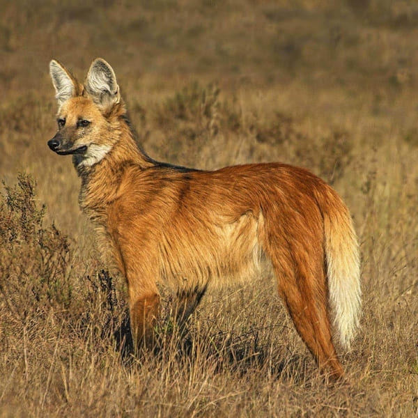
Maned wolves, giant anteaters, giant armadillos, peccaries, small lizards, and possums roam its territories, while birds like blue-and-yellow macaws, parakeets, and rufous horneros fly across the sky. The Brazilian merganser duck, a highly endangered species, also lives in the area.
The flora is equally rich, with buriti palms, golden grass fields, and rare orchids coloring the scenery.
At PlanetaEXO, an ecotourism platform specializing in Jalapão tours, every journey supports local guides, quilombola communities, and artisans who keep traditions alive.
When you choose responsible tours, you also contribute to protecting the Cerrado’s fragile ecosystems. Each adventure is carefully planned to minimize impact and maximize positive contributions while you enjoy the best vacation of your life. Contact us now!
Check out our travel tips to enjoy Manaus City to its fullest and immerse yourself in this wonderful place that blends urban atmosphere and the Amazon’s natural resources!
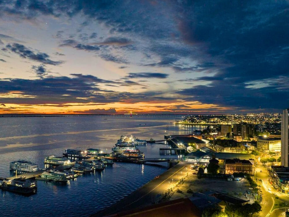
Besides the natural wonders, Manaus is full of history and culture. As the main gateway to the Amazon, the capital offers something to everyone — from river cruises, to jungle expeditions and local cuisine that reflects the region’s biodiversity.
PlanetaEXO, an ecotourism platform specialized in Amazon tours in Brazil, has created a complete Manaus travel guide to help you navigate this incredible city. Read more below!
About Manaus
Manaus was founded in the 17th century as a Portuguese fort, but grew fast during the rubber boom of the late 1800s. It received this name as an homage to the indigenous group Manaós, which inhabited the territory back at the time. Manaus means “mother of the gods”.
@manauschibata
The rubber boom was so prosperous that Manaus was known as the “Paris of the Tropics”, but it didn’t last long due to heavy competition from abroad. Even so, the city reinvented itself as a regional metropolis where 2.3 million people live nowadays, as well as a thriving ecotourism hub that blends colonial architecture, bustling markets and lush landscapes.
Where is Manaus located?
Manaus, in Amazonas, is located in the Northern Region of Brazil. At the east center of the state, it’s a metropolitan area heavily influenced by the Negro and Amazon rivers.
What is Manaus famous for?
Manaus is mostly known as the primary gateway to the Amazon Rainforest and a huge ecotourism destination not only in Brazil, but in the world.
The unique mix of urban aspects and natural resources is what makes this city so fascinating and worth visiting.
.
Best time to visit Manaus
Manaus City has a tropical rainforest climate, with two main seasons: the rainy season (December to May) and the dry season (June to November).
December, January, February, March, April, May
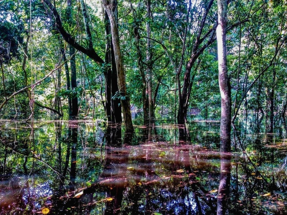
The forest is at its lushest and most vibrant during this time, making it the ideal period for riverboat tours. With higher water levels, you can explore the igapós (flooded forests) by canoe, which grants a unique perspective of the Amazon.
Photo: @buyehelen
June, July, August, September, October, November
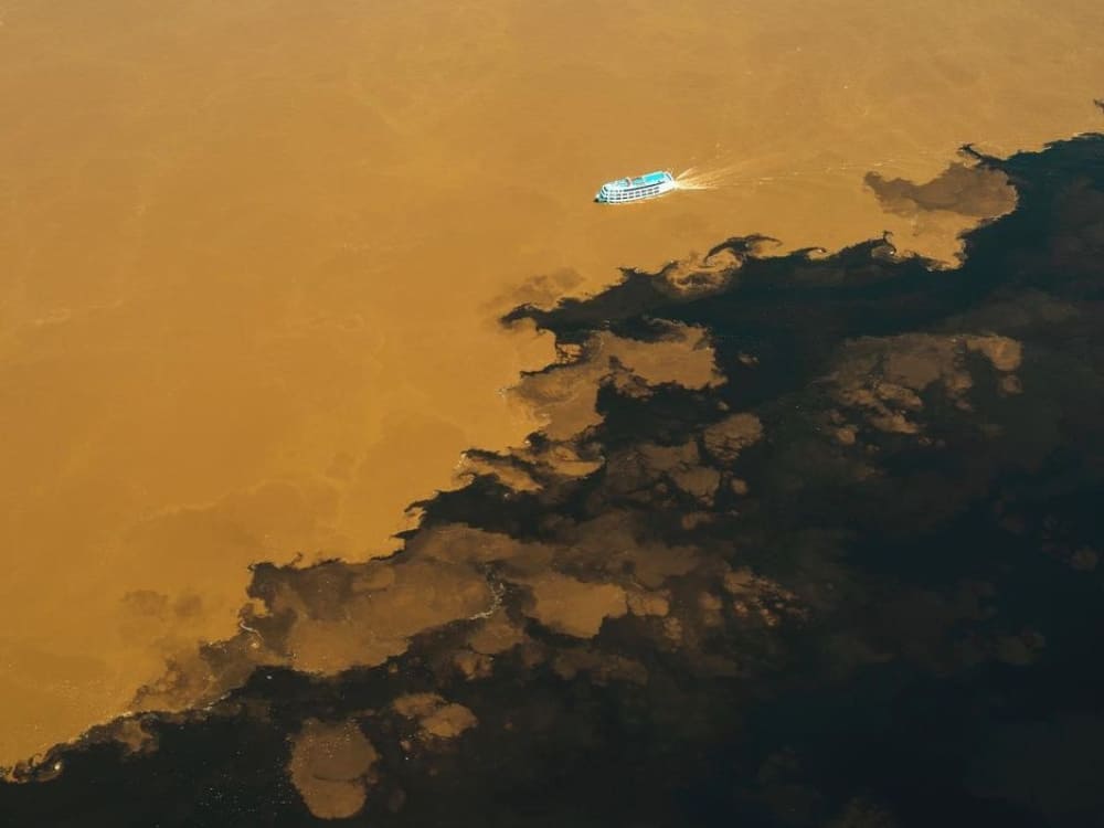
Great period for hiking and wildlife spotting, as animals gather near rivers and water sources. It’s also the perfect time to visit the famous Meeting of the Waters, where the Negro and Solimões rivers meet.
Most travelers reach Manaus by flying into Eduardo Gomes International Airport (MAO), served by direct flights from several major Brazilian cities (Belém, Belo Horizonte, Brasília, Fortaleza, Recife, Rio de Janeiro e São Paulo) and a few international destinations.
There are no direct flights from the US or Europe, so foreign tourists should travel to Bogota (BOG), Panama City (PTY) or Curaçao (CUR) first.
Flights departing from North American or European countries usually have layovers in São Paulo (GRU/VCP), Rio de Janeiro (GIG) or Brasília (BSB). From these destinations, it takes 3–4 hours to reach Manaus with Azul or GOL airlines.
A Manaus travel guide is incomplete without a list of activities around the city — which offers a wide range of experiences and tours that allow visitors to experience and enjoy the Amazon’s natural beauty and local culture.
Check out PlanetaEXO’s selection of things to do in Manaus!
Historic Center Tour
Embark on a tour of Manaus’s historic center to dive into the city’s cultural and gastronomic core.
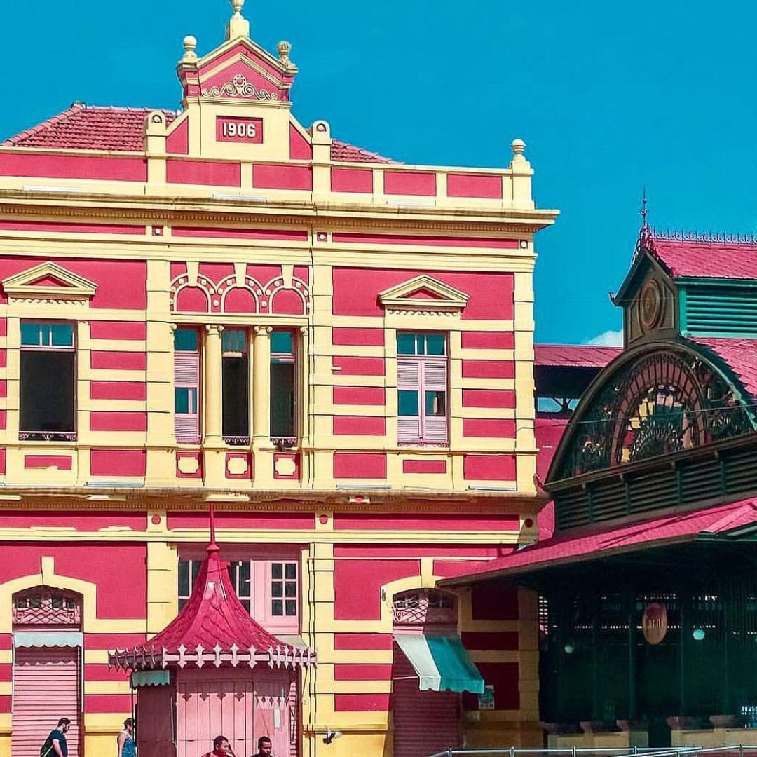
Wander through traditional buildings and landmarks that showcase Manaus’s rich heritage, including the Adolpho Lisboa Market, Palácio Rio Negro, São Sebastião Church, and Casa Eduardo Ribeiro Museum. Perfect for people who love history and cultural experiences!
@janelasdemanaus
Amazon Theatre
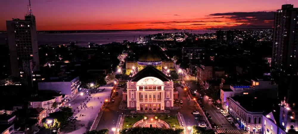
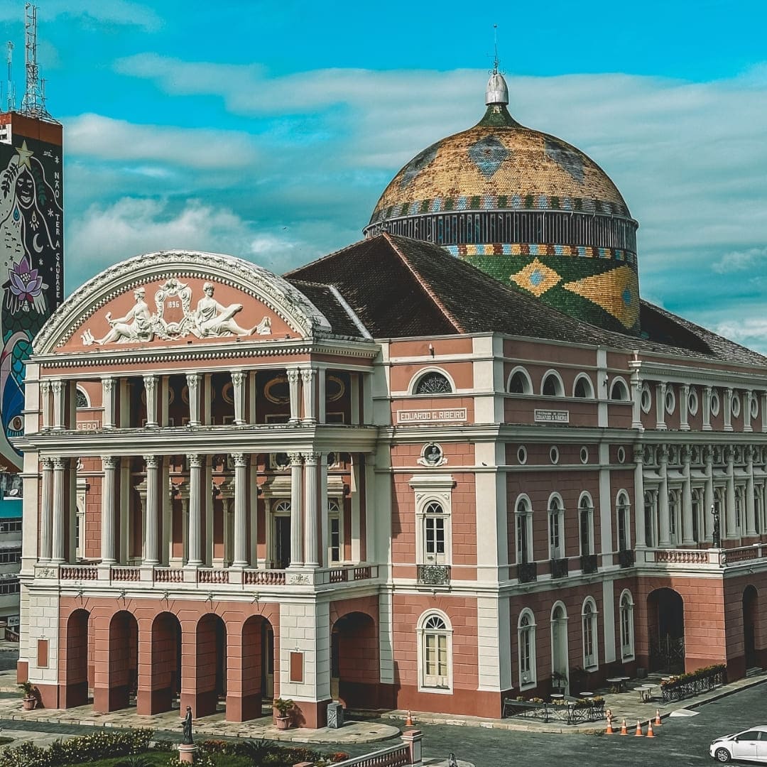
The Amazon Theatre (Teatro Amazonas) is such an integral part of Manaus’ history. Built during the rubber boom period, it used to be a grand opera house. Nowadays, as one of the capital’s most beloved landmarks, it’s open for visitation.
While visiting the theater, stroll through Largo de São Sebastião, where you can explore the charming central church and the lively surrounding square.
Address: Av. Eduardo Ribeiro, 659 — Centro, Manaus
@manausnasfotos
MUSA (Museum of the Amazon)
MUSA showcases the Amazon’s sociocultural and biological diversity through themed exhibitions and forest hikes.
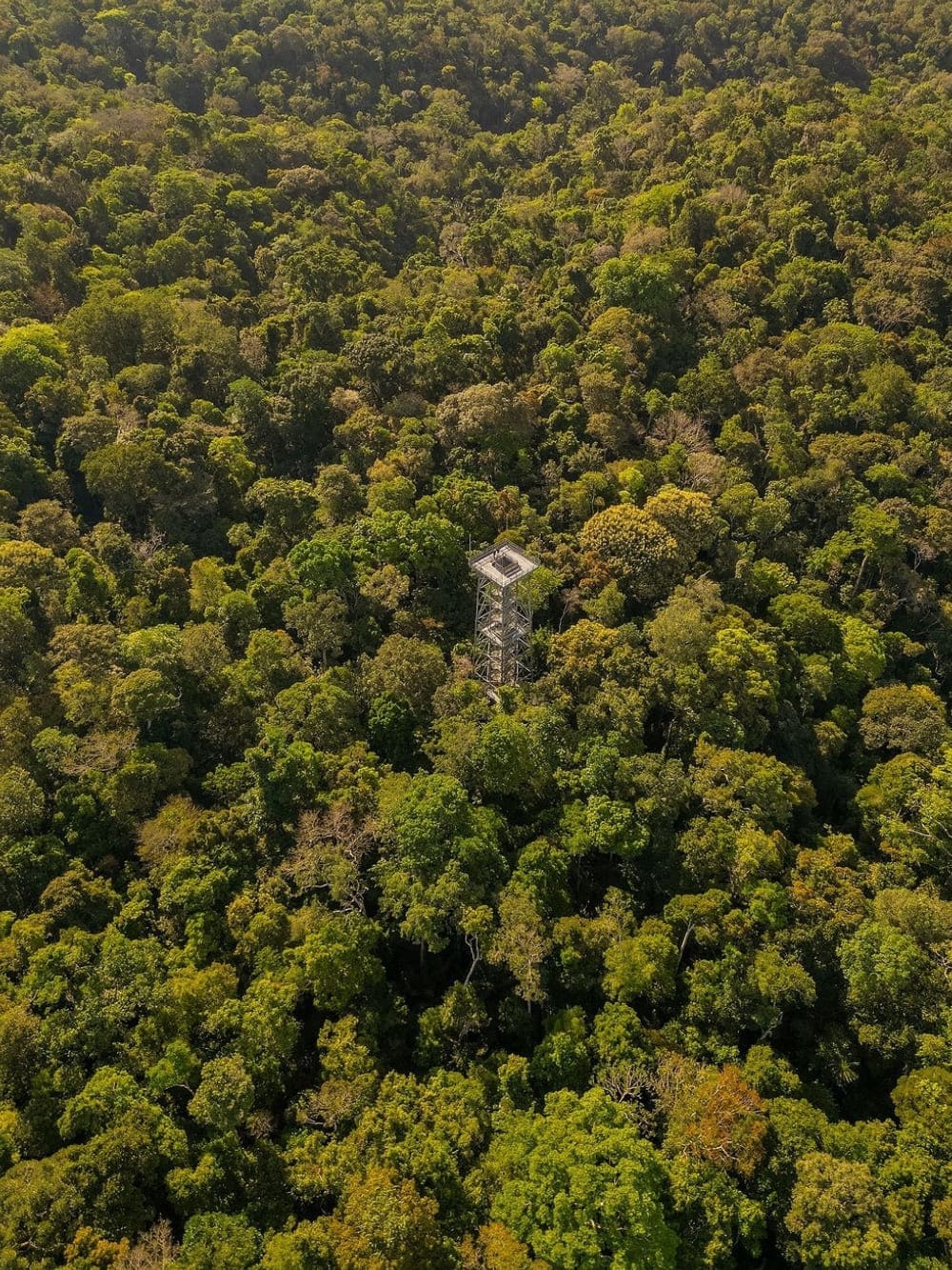
Located in a 100-hectare area at the Adolpho Ducke Forest Reserve, it has a 42-meter observation tower and hundreds of plant species, like orchids, bromeliads, araceae, palm trees, etc. You can also see animals, including snakes, scorpions, spiders and butterflies.
Address: Av. Margarita, 6305 (formerly Av. Uirapuru) — Jorge Teixeira, Manaus
@alaisooon
Meeting of the Waters
The Meeting of Waters is one of the most incredible natural phenomena in Brazil. Due to differences in current speed, temperature and acidity, the Negro and Solimões rivers meet, but don’t quite mix.
Black and brown waters create a perfect contrasting line in the water, effortlessly dividing the two rivers in a jaw-dropping view.
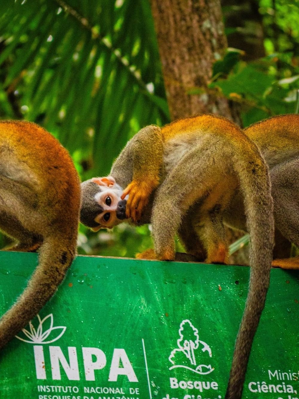
For animal lovers, Bosque da Ciência, managed by INPA (National Institute for Amazonian Research), is almost an obligatory attraction for tourists visiting Manaus City.
Join guided tours and learn everything about various free-roaming Amazon animals, from native bees to giant otters. If wildlife isn’t your main interest, the exhibitions also provide fascinating insights into the region’s flora and unique biodiversity.
Address: Av. Bem-Te-Vi, s/n — Petrópolis, Manaus
@yu.jhima
Lúcia Almeida Viewpoint
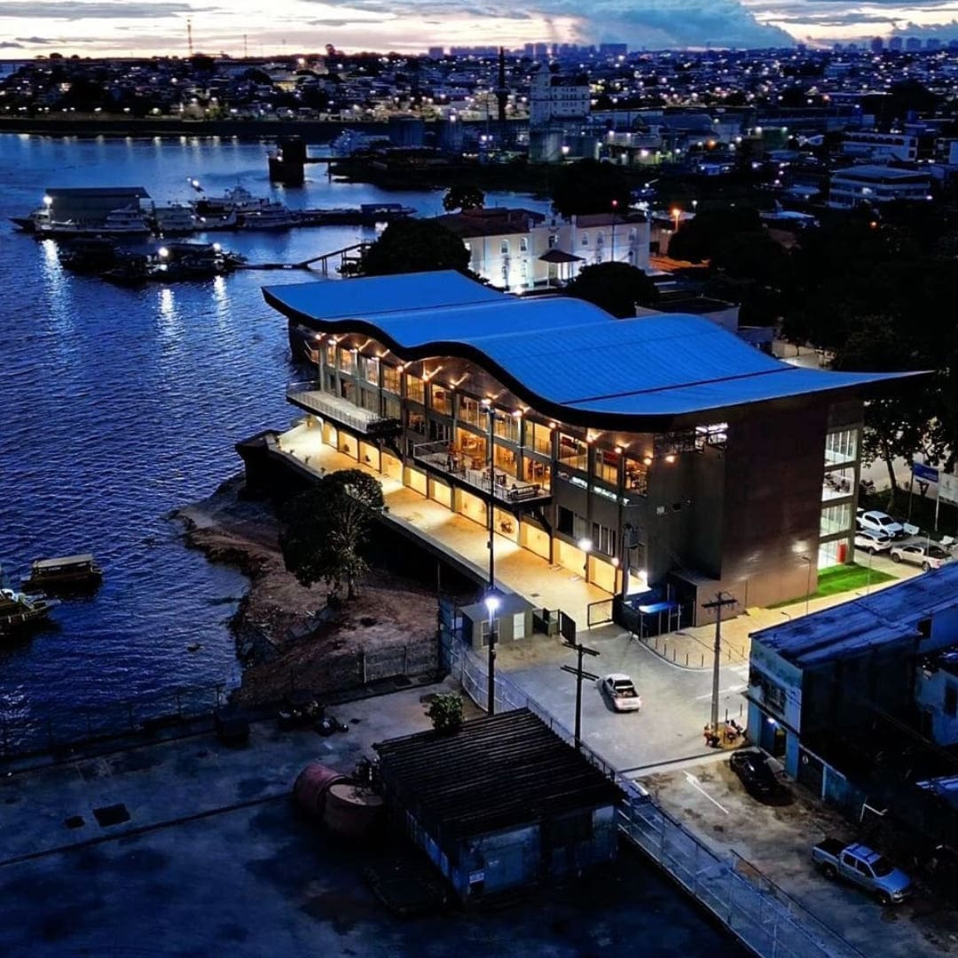
For a breathtaking view of Manaus in Brazil, the Lúcia Almeida Viewpoint is a must-visit spot. Located near the Amazon Theatre, it offers panoramic views of the city and the Rio Negro.
It’s a perfect place to relax, take photos, and enjoy the unique charm of Manaus’ skyline.
Address: Av. Sete de Setembro, 8 — Centro, Manaus
Best Amazon tours departing from Manaus
Most Amazon tours depart from Manaus, bound for incredible ecotourism spots in the forest, like Anavilhanas and Jaú National Park, Presidente Figueiredo and Careiro. See some options below!
*Per person, based on double occupancy in group departures. Prices may vary depending on season and availability. Exchange rate as of February 6th, 2026; subject to change.
Public buses: Manaus City has an affordable bus system, but it can be crowded at rush hours and occasionally unreliable. Safety is a concern due to pickpocketing, so keep valuable items secure and stay alert. Check routes with apps like Moovit and Ônibus Manaus.
Ride-sharing apps:Uber and 99 App provide safe rides with set prices, making them ideal for solo travelers, nighttime trips and people who are unfamiliar with the area.
Ferries and boat services: For river transport, ferries and boats departing from the Port of Manaus can take you to surrounding areas and deeper into the Amazon. Use reputable operators and follow safety guidelines for a secure journey.
Where to eat in Manaus
The city is known for being a core for Amazonian cuisine, famous for dishes you won’t find anywhere else. Feeling hungry? PlanetaEXO’s Manaus travel guide has listed some local spots so you can try out the unique flavors of the forest!
With a great view of the Amazon Theatre, Caxiri provides a sophisticated dining experience that celebrates local cuisine. The menu is described as a fusion of traditional Brazilian dishes with Amazonian culture.
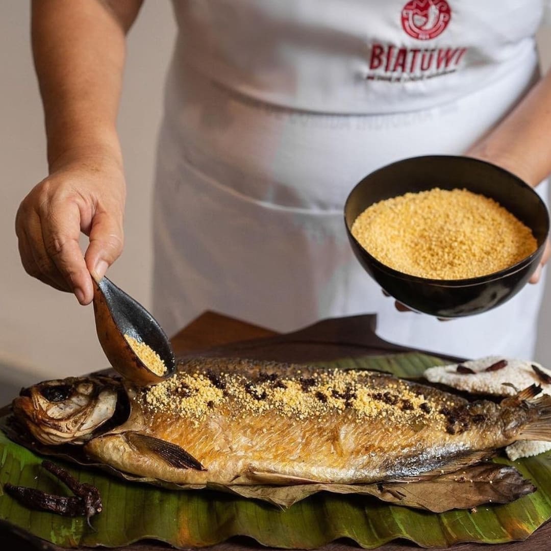
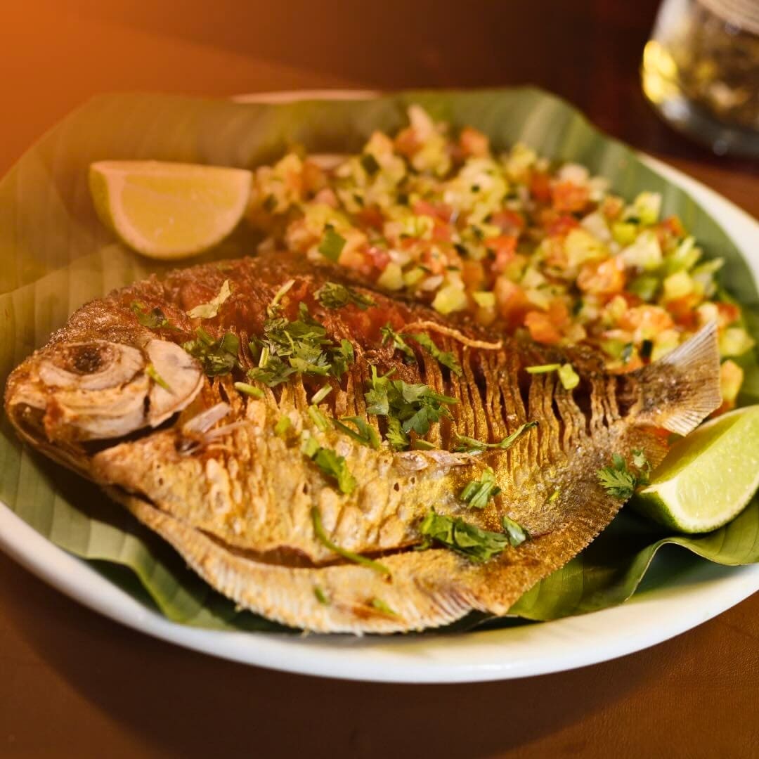
Tambaqui de Banda’s signature dish is traditional-style grilled tambaqui (a native fish). Known worldwide for its love and respect for Amazonian flavors, the restaurant has both indoor and outdoor seating — with a beautiful view of the Amazon Theatre.
O Lenhador serves various traditional dishes, with a heavy focus on regional meats and hearty portions. Famous for its rustic atmosphere, it’s a favorite spot for those looking to experience local cuisine.
Address: Av. do Turismo, 2371 — Ponta Negra, Manaus
Charming seafood restaurant, Peixaria Morada do Peixe is celebrated for its fresh fish and authentic Amazonian dishes. Specializing in regional dishes like tambaqui and pirarucu, it offers a relaxed atmosphere perfect for enjoying the culinary heritage of Manaus.
Address: Beco Goiania, Conjunto Jardim Versalles — Planalto, Manaus
Blending traditional flavors with contemporary techniques, the menu of Banzeiro Manaus showcases various regional dishes, focusing on local recipes and ingredients like tacacá, tambaqui, cupuaçu and even leafcutter ants.
Address: R. Libertador, 102, — Nossa Senhora das Graças, Manaus
Famous for its selection of premium cachaças and Amazonian-inspired dishes, Cachaçaria do Dedé offers a unique dining experience that blends local flavors with Brazilian culinary traditions.
Address: R. do Comercio, 1003-F (Box 4) — Parque 10 de Novembro, Manaus
Where to stay: hotels in Manaus
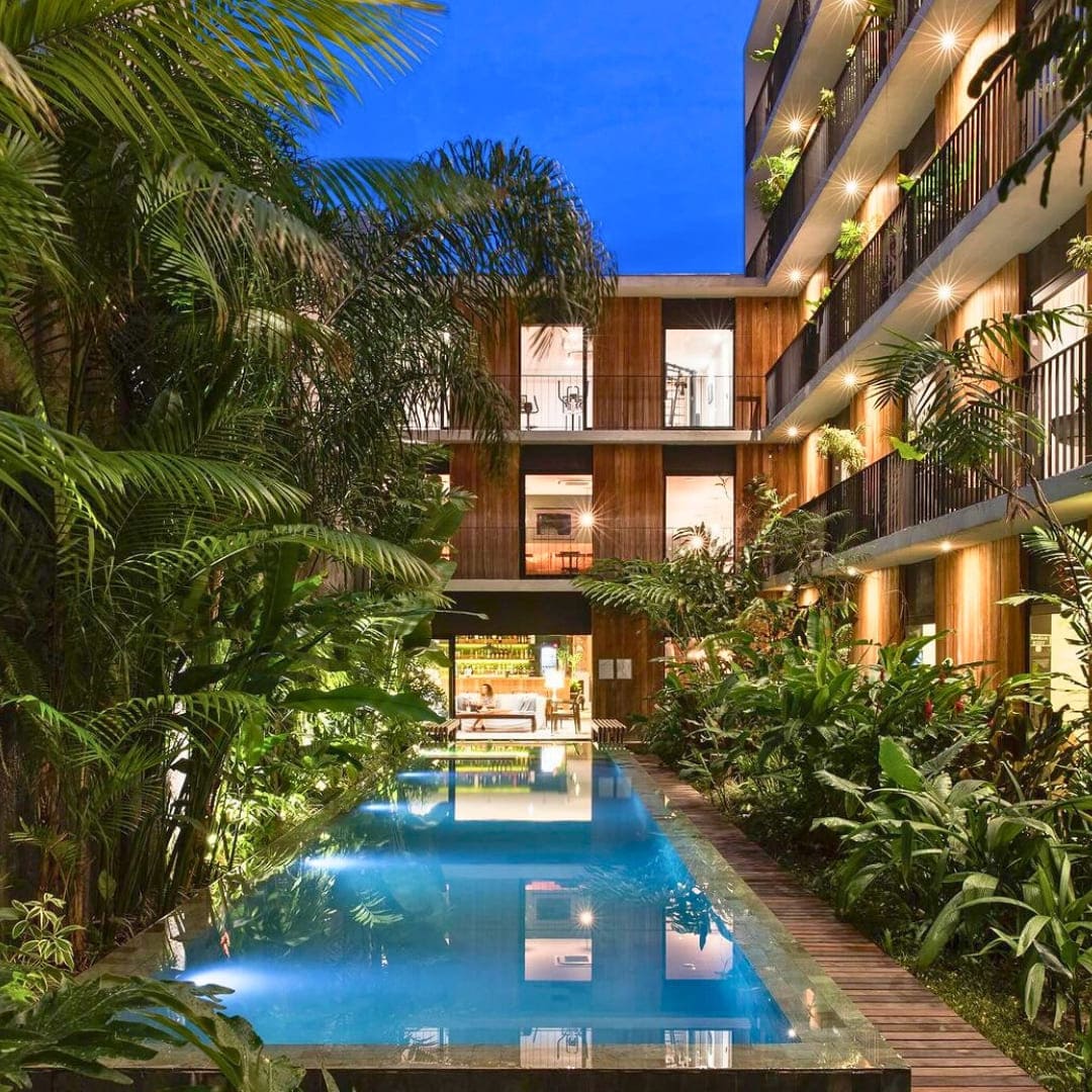
Manaus has great accommodation options to fit different budgets and preferences. Many hotels are located near major attractions, making it easier to explore the city.
A modern and minimalist hotel located in the heart of Manaus, offering clean and cozy rooms with contemporary decor. Perfect for travelers seeking comfort and practicality near the city’s main attractions.
Located near Manaus’ historic center, Hostel Manaus has budget-friendly accommodations in a vibrant and welcoming atmosphere. Ideal for backpackers, it features shared dorms, private rooms, and a rooftop terrace with city views.
Address: R. Lauro Calvacante, 231 — Centro, Manaus
A modern hotel near the Industrial District with contemporary rooms, a fitness center, an on-site restaurant, and an all-you-can-eat breakfast buffet. Ideal for both business and leisure travelers.
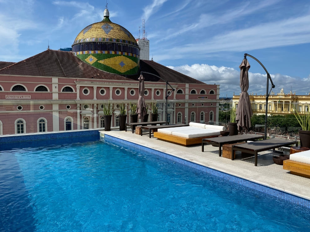
Located in the heart of Manaus and directly across from the iconic Amazon Theatre, Juma Ópera Hotel offers a blend of historical charm and modern luxury. With elegant rooms, a rooftop pool, and a gourmet restaurant featuring Amazonian cuisine, it’s an excellent choice for those seeking an upscale stay close to the city’s cultural landmarks.
Address: R. 10 de Julho, 481 — Centro, Manaus
.
Is Manaus safe?
Overall, Manaus is safe, but like in any other destination, it’s important to be careful regarding physical integrity, health and your personal belongings. Here are some safety tips for your trip:
Banks and ATMs: Visit banks only during the day, when security is present. Only withdraw small amounts of cash and avoid ATMs where there’s no one else around — if possible, don’t do it alone.
Cash safety: Keep cash separate and consider carrying a fake wallet or fanny pack with minimal money to lower the impact of potential theft.
Public areas and tourist spots: Be mindful of pickpockets in busy areas. Avoid displaying valuable items openly and use a secure bag for your belongings.
Vaccinations: Although not required, yellow fever vaccines are recommended for people going to the Amazon — especially in neighboring countries, like Bolivia and Colombia. Malaria risk is low, though some choose preventive medication. Make sure your tetanus vaccination is also up to date for added safety.
Climate preparedness: Manaus is hot and humid, so stay hydrated, wear light clothing, and use insect repellent — especially in forested areas.
Manaus, Brazil: more than just a gateway to the Amazon Rainforest
Manaus is more than just a quick stop on the way to the Amazon — it’s a fascinating place with a complex history, rich culture, and stunning natural scenery. Upon booking your Amazon trip, consider saving a few days to explore the city. You’re going to love it!
As a platform specialized in Amazon Rainforest tours in Brazil, PlanetaEXO works with the finest local operators to ensure the best experience, from your departure in Manaus to joining activities in the middle of the forest. Contact us now!
Get to know more about the mysteries of the Tepui: wildlife, landscapes, and what is on the plateau at Mount Roraima
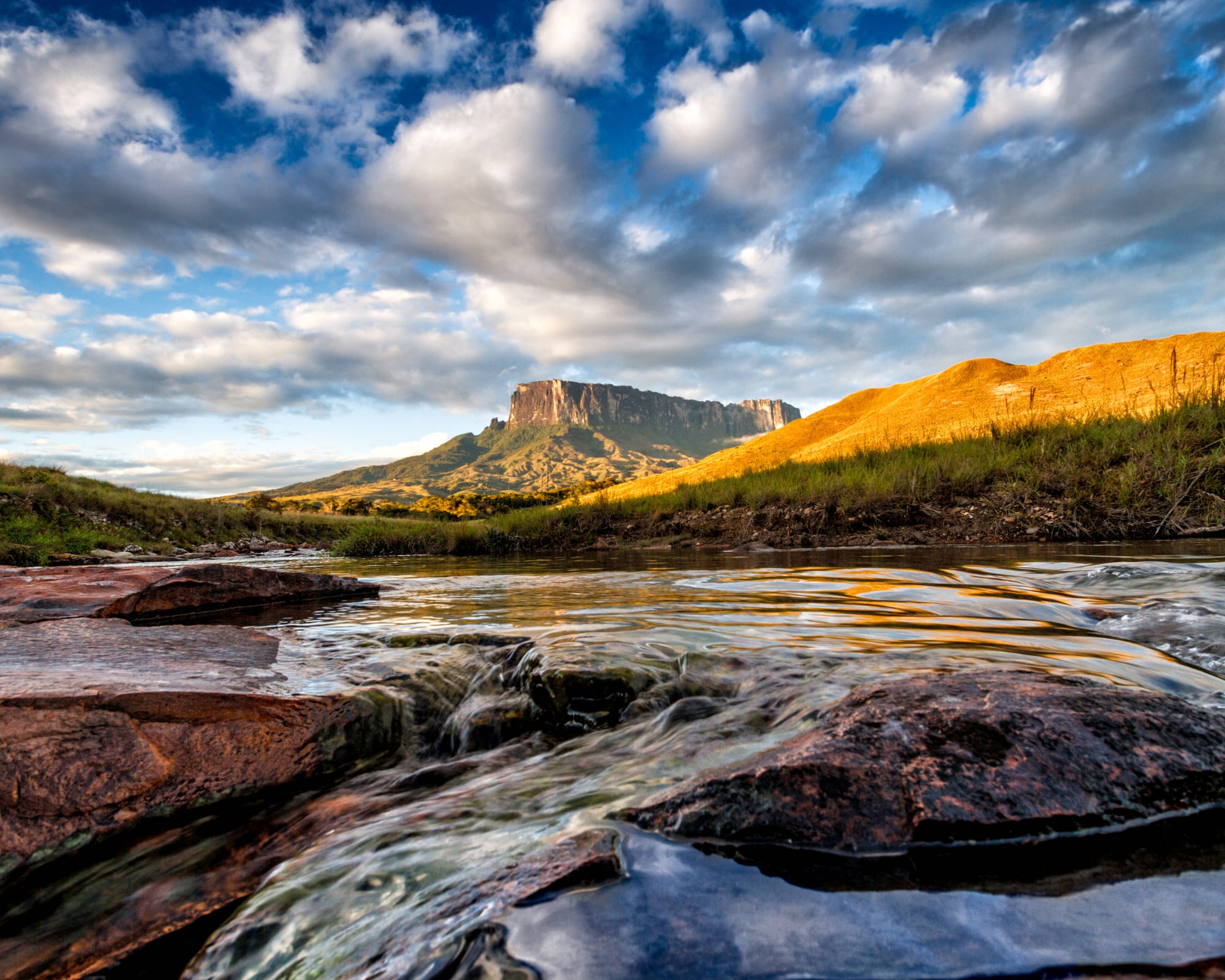
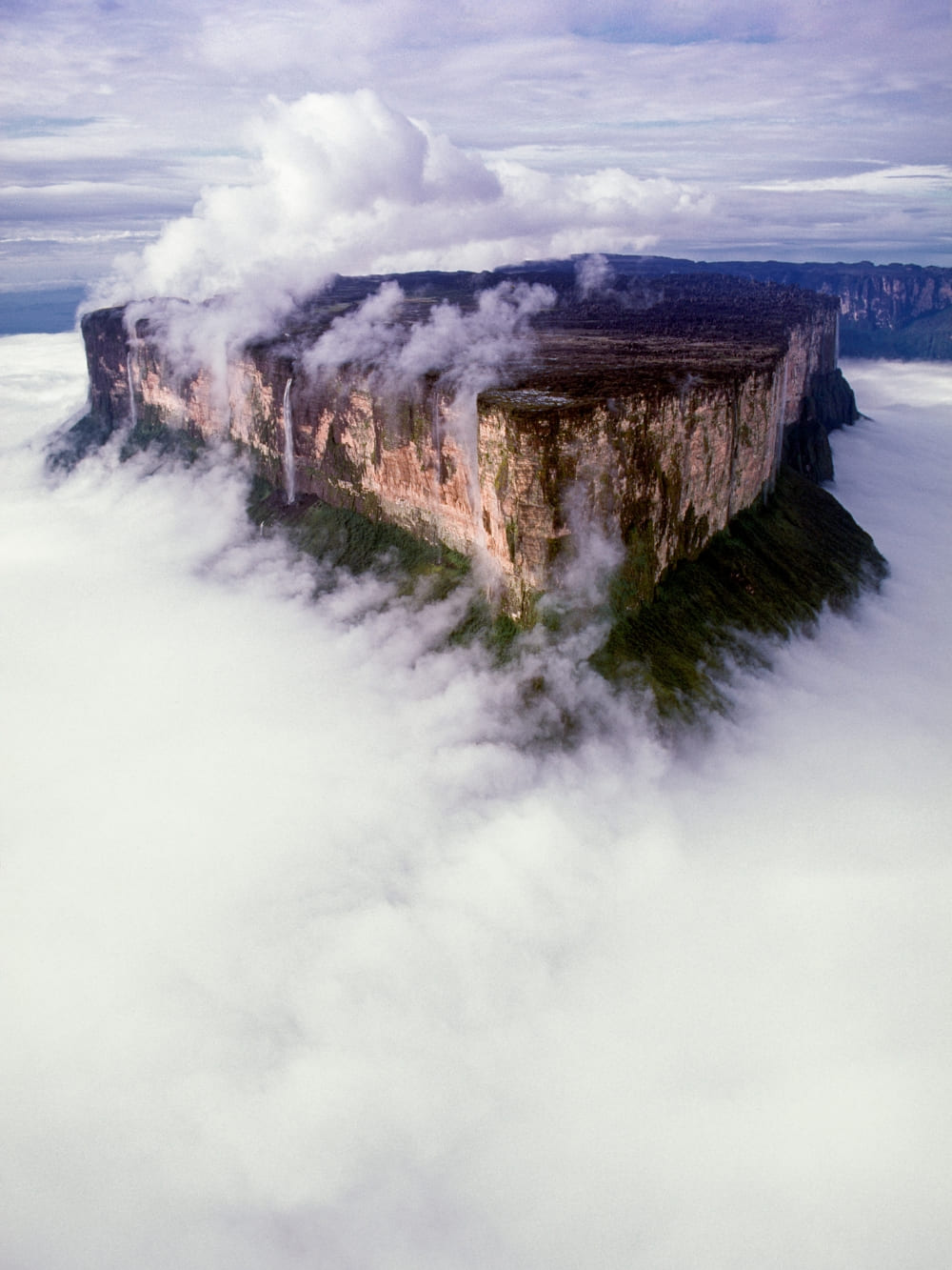
Mount Roraima has fascinated travelers, scientists, and storytellers for centuries. Rising over 2,800 meters above sea level, this tepui, a flat-topped mountain unique to the Guiana Shield, looks like something out of a fantasy novel. But the real question many adventurers ask is: What’s on top of Mount Roraima?
At the top of Mount Roraima, you’ll find a surreal plateau unlike anywhere else on Earth: crystal valleys, natural pools, strange rock formations, and unique plants and animals that thrive only in this isolated environment. Far from being an empty summit, the plateau is alive with biodiversity and geological wonders.
@diaz
PlanetaEXO, together with trusted local partners, leads sustainable expeditions to this remote landscape. Beyond trekking to the Mount Roraimahigh point, the journey is about responsible travel: supporting Indigenous communities and protecting the fragile environment of the plateau.
Without further ado, discover what’s on top of Mount Roraima and other questions about the tepui of this fascinating place:
What to do on top of Mount Roraima?
The summit is not just a barren rock: it’s a world full of surprises and experiences. From unique vegetation to surreal geological formations, every corner reveals something extraordinary. If you’re wondering what to do on top of Mount Roraima, here are the main activities and highlights that make the plateau so unforgettable:
Explore the unique vegetation and endemic species
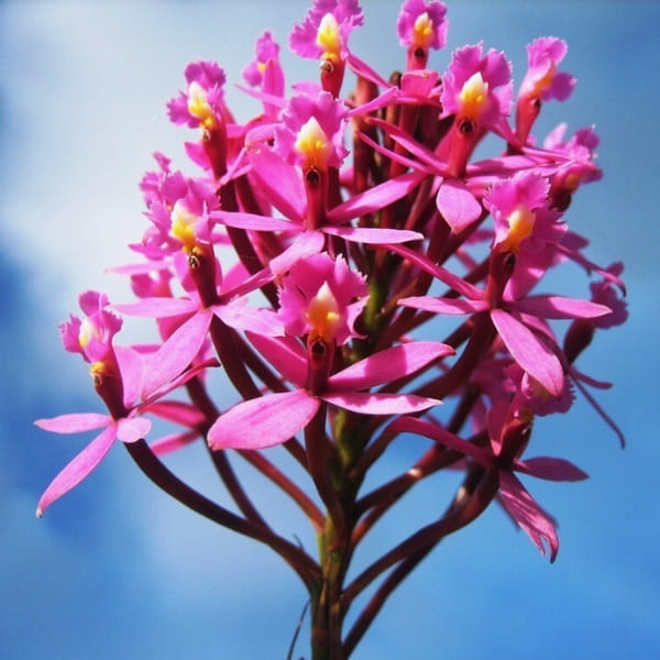
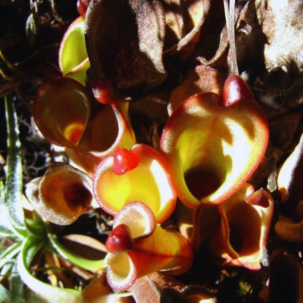
Life at the summit has adapted to survive in extreme conditions. Carnivorous plants like Heliamphora nutans capture insects to compensate for nutrient-poor soil, while delicate orchids bloom between the rocks.
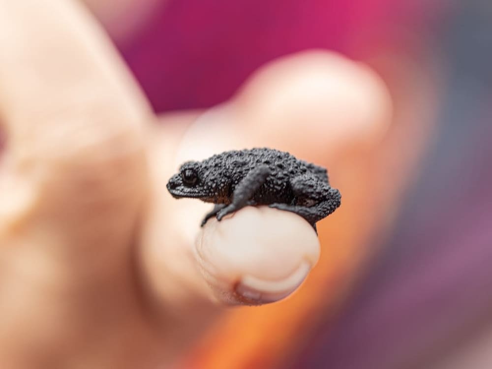
Look closer and you might spot endemics such as the tepui frog (Anomaloglossus roraima), the Roraima black frog (Oreophrynella quelchii), and the tree frog Stefania roraimae. These species exist nowhere else on Earth, making the plateau a natural treasure.
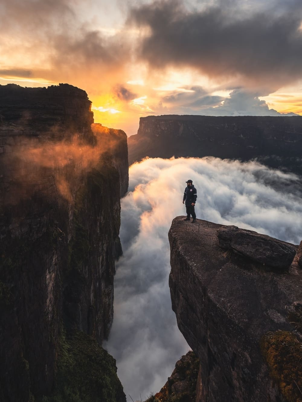
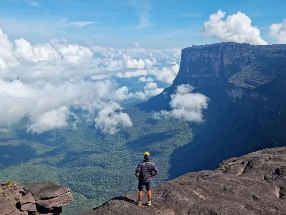
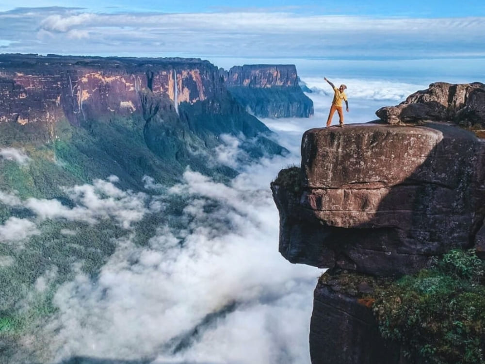
The most famous rock formation on the summit is Maverick Rock, which reaches 2,810 meters above sea level. Standing at this Mount Roraima high point gives trekkers sweeping views across Venezuela, Brazil, and Guyana. On clear days, it feels like the world stretches endlessly beneath your feet, while clouds swirl below the cliffs.
@potter_2024
Walk through the Valley of Crystals
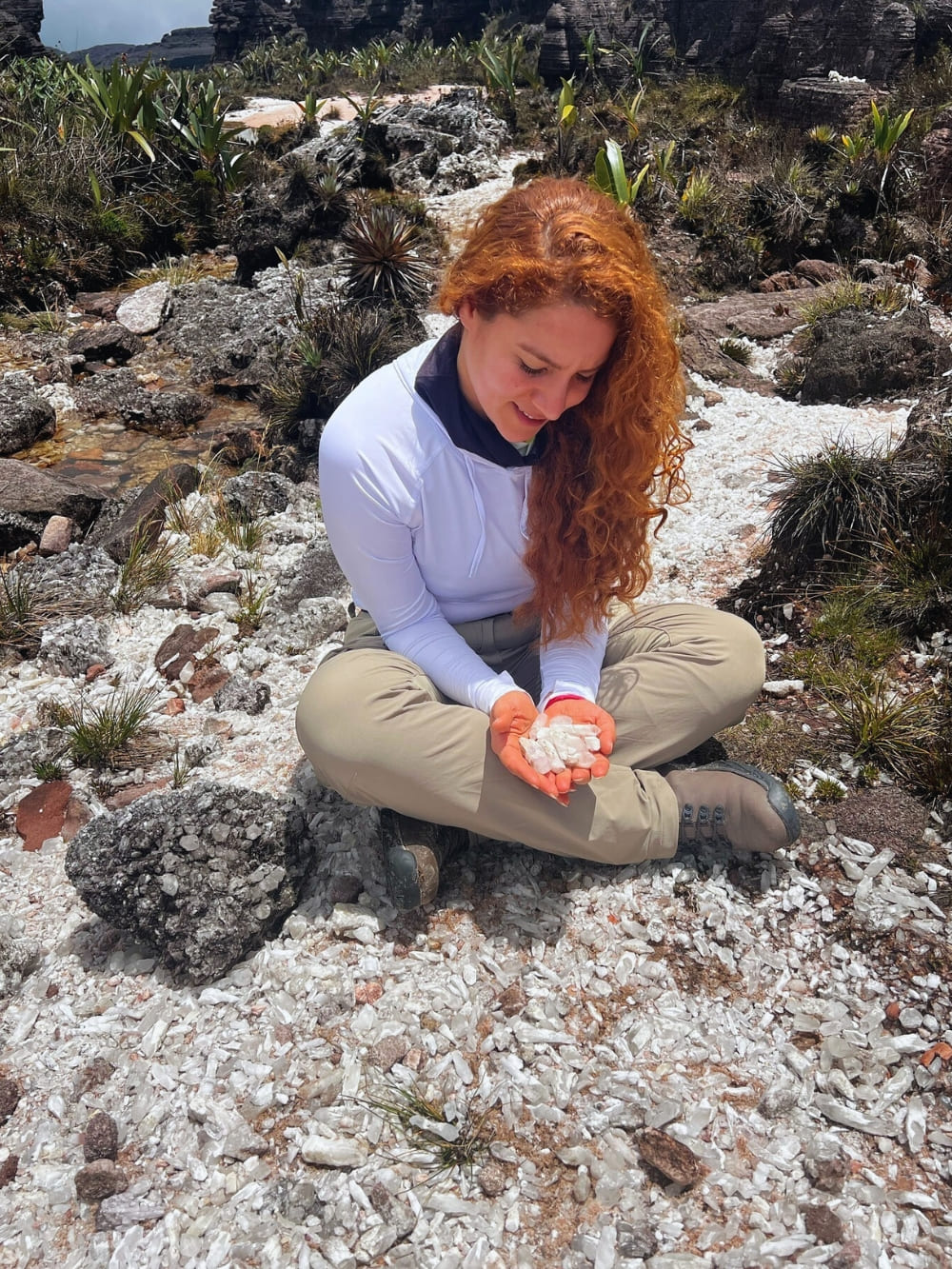
Perhaps the most surreal landscape on the plateau is the Valley of Crystals, where the ground sparkles with countless fragments of quartz. These glittering stones catch the sunlight, creating a dreamlike effect. Walking here feels like stepping into a natural cathedral made of glass.
@brunaalanas
Camp in the natural “hotels”
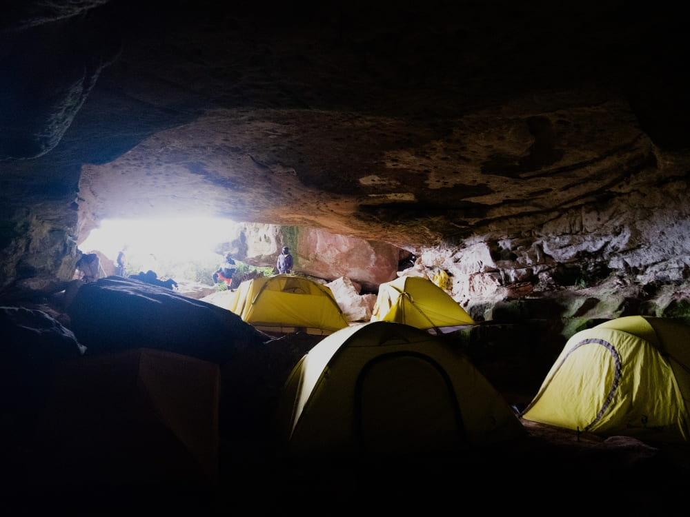
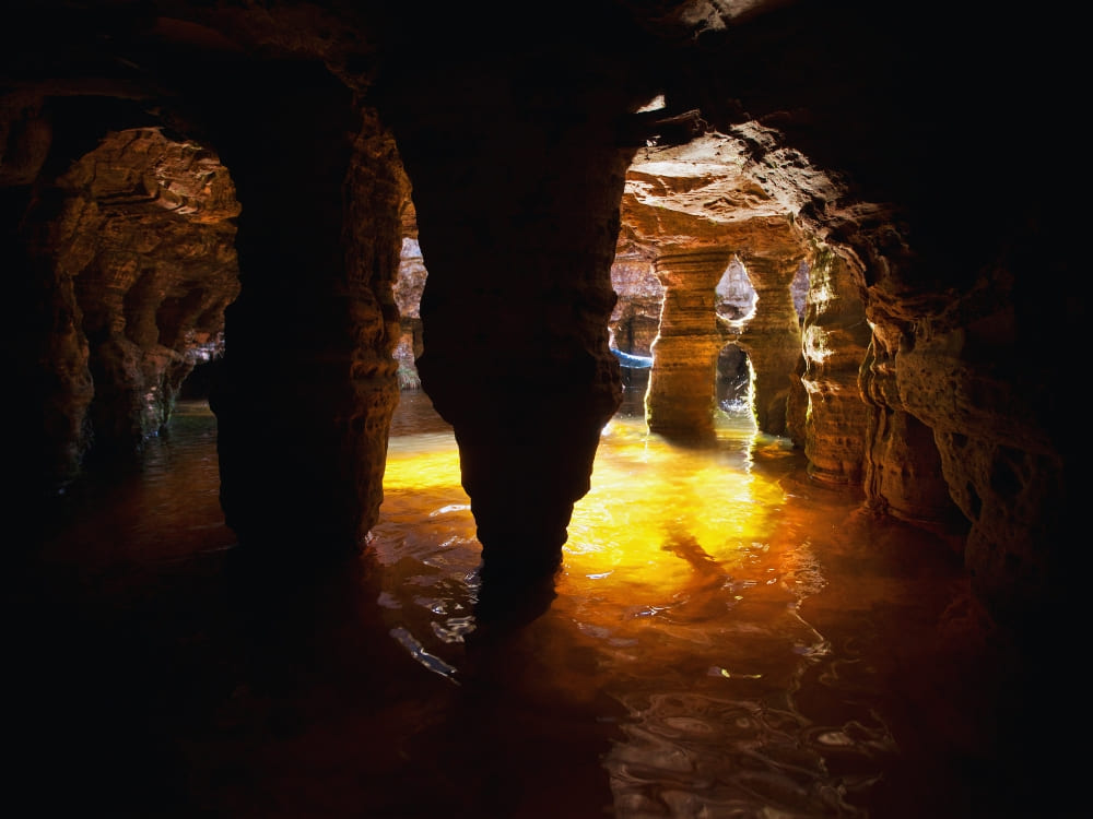
Instead of traditional accommodations, trekkers stay in natural caves and rock formations known as “hotels.” These shelters protect hikers from wind and rain while preserving the rustic atmosphere of the tepui. Spending a night here is a one-of-a-kind experience, like living inside the mountain itself.
Photo: Lucas Gobatti
Swim in the natural pools and jacuzzis
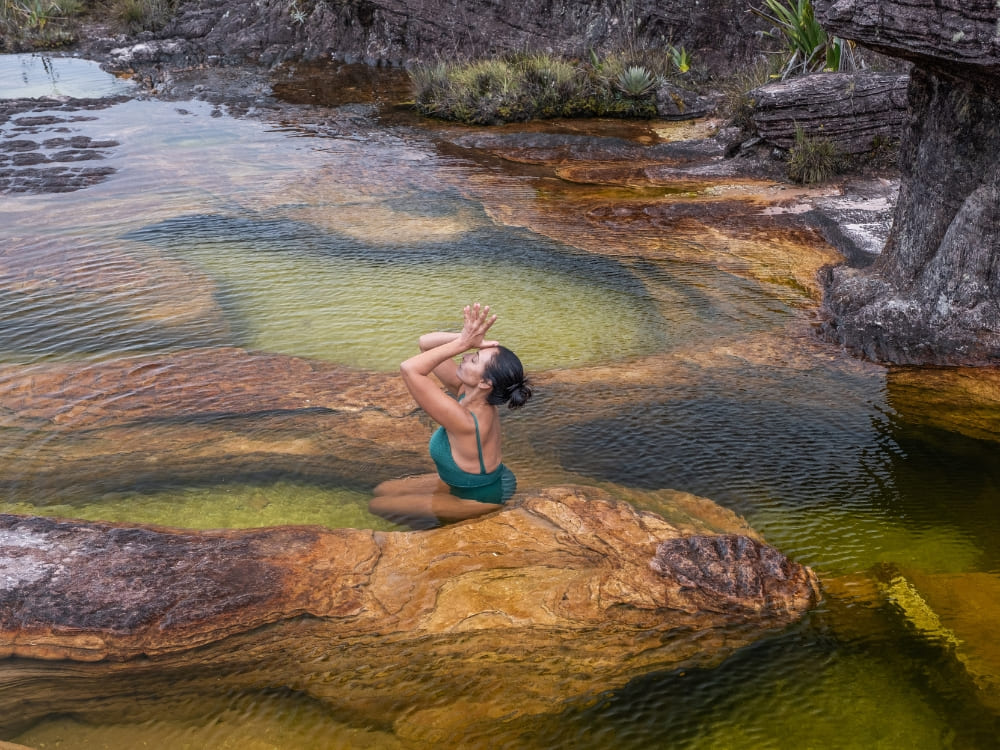
Water is everywhere on the plateau, creating enchanting natural pools and jacuzzis. After hours of hiking, a refreshing dip in these crystal-clear basins is pure bliss. Fed by constant rainfall, they reflect the sky and surrounding rocks, adding to the otherworldly beauty of the plateau.
Photo: Lucas Gobatti
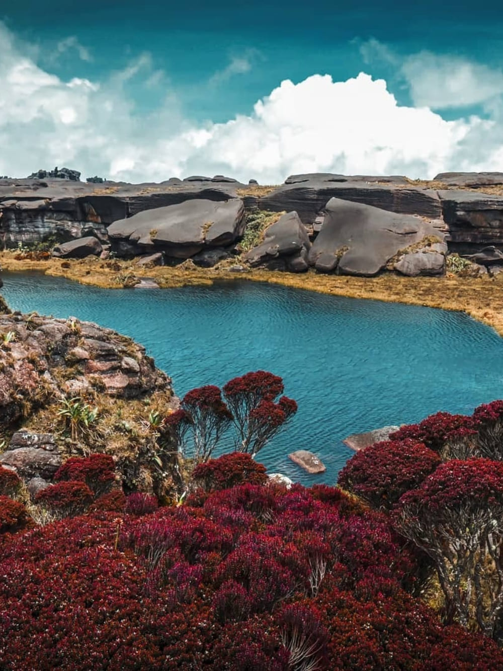
Visit Lake Gladys
Another remarkable stop is Lake Gladys, a mysterious lagoon nestled in a depression of the plateau. Surrounded by dark rocks and often shrouded in mist, it has an almost mystical atmosphere. Many travelers describe it as one of the most peaceful places at the top of Mount Roraima, where silence and still waters amplify the feeling of being in another world.
@yaikeldorta
Admire the view from La Ventana
The viewpoint known as La Ventana opens up dramatic vistas of the Gran Sabana and neighboring Mount Kukenan. Between towering cliffs, you’ll see vast forests and waterfalls stretching into the horizon. It’s one of the most breathtaking panoramas at the top of Mount Roraima.
@na7hann
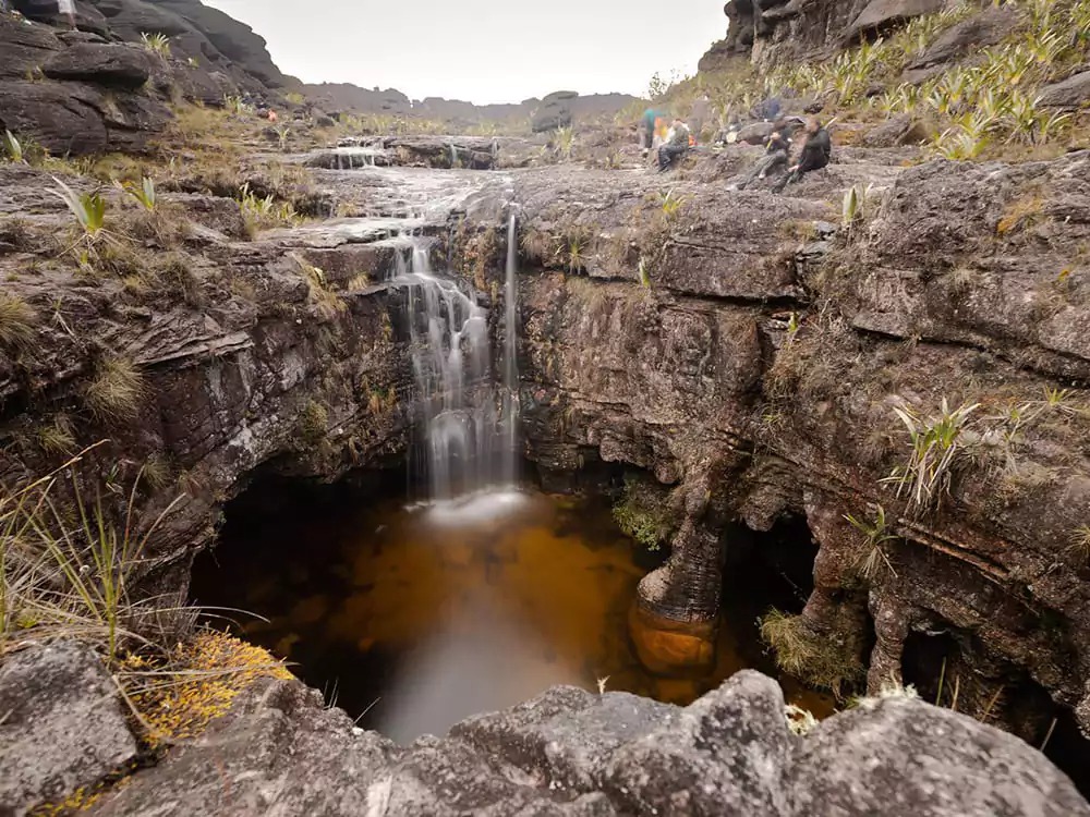
Visit El Foso: The pit
Another unmissable feature is El Foso, a deep chasm with a natural pool at its base. Its dark waters and towering stone walls make it feel like a secret chamber carved by time. Many trekkers consider swimming here one of the most magical experiences of the journey.
Stand at the Triple Point
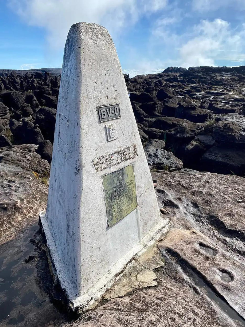
At one corner of the plateau lies the Triple Point, the exact spot where Brazil, Venezuela, and Guyana converge. Standing here, you are literally in three countries at once, a rare and fascinating highlight of the trek.
No, there are no permanent human settlements at the top of Mount Roraima. The plateau is too isolated and inhospitable for people to live there, with thin soil, frequent rain, and freezing nights. Trekkers only stay temporarily in campsites or natural rock shelters during expeditions.
However, communities live and thrive around the mountain’s base. The Pemón (including groups like the Arekunas, Taurepanes, and Kamarakotos), as well as the Ingarikó, Patamona, Akawaio, and Wapishana, are deeply connected to the land. These Indigenous peoples guide expeditions, share cultural heritage, and help ensure that tourism respects both tradition and environment.
Yes, you can! Reaching the top of Mount Roraima requires determination, but it’s not reserved for professional climbers. The ascent is a multi-day trek starting from Paraitepuy, an Indigenous community in Venezuela, with routes organized by experienced local guides.
The trek usually takes 8 to 10 days, covering around 90 to 100 kilometers. You’ll pass rivers, rocky slopes, and steep sections like La Rampa, a natural corridor that leads hikers to the tepui of Mount Roraima. The journey is demanding but achievable for those with decent fitness and preparation.
At the summit, the effort pays off with landscapes that seem straight out of another planet. Walking across the plateau, you’ll feel as if you’ve stepped into the pages of Arthur Conan Doyle’s The Lost World, which was inspired by this very mountain.
Not only has it been climbed, but thousands of travelers make the journey every year. The first documented ascent was in 1884 by the British explorer Sir Everard Thurn. However, long before Europeans arrived, Indigenous peoples such as the Pemón already knew the mountain intimately, weaving it into their myths and traditions.
Today, Mount Roraima is a well-known trekking destination. Around 2,000 to 3,000 visitors make the journey each year, coming from all over the world to experience its alien landscapes, sleep under the stars, and discover the unique biodiversity of the tepui. Before planning your trek, don’t forget to check the visa requirements.
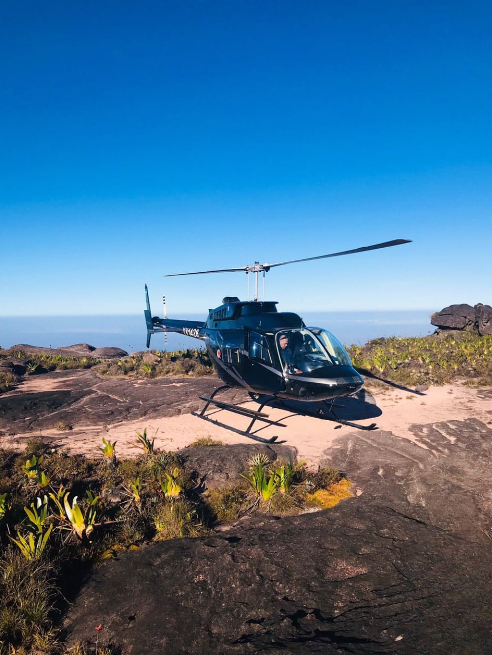
This is a common question, and the answer is yes: helicopter landings are possible in certain areas of the summit. Some tours depart from Boa Vista, following the same route across the border to Paraitepuy before taking off toward the mountain.
Once on the plateau, visitors can explore highlights at the top of Mount Roraima. Flights depend on weather conditions and are operated under strict conservation rules to minimize environmental impact.
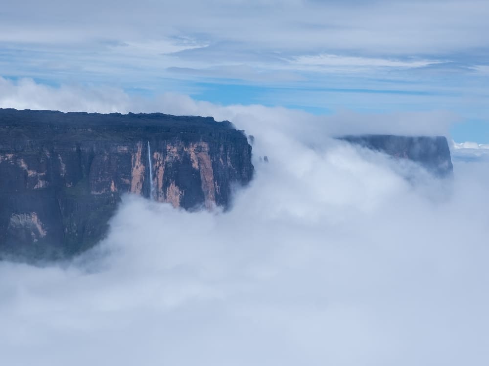
For those who prefer not to land, aerial experiences are also available. Scenic flights provide breathtaking views of Canaima National Park, Angel Falls, Mount Kukenan, and the dramatic cliffs of Mount Roraima before circling above the plateau.
👉 Prefer a more intense adventure? Explore our 8-day Mount Roraima trek for a rewarding experience
.
Is Mount Roraima tepui above the clouds?
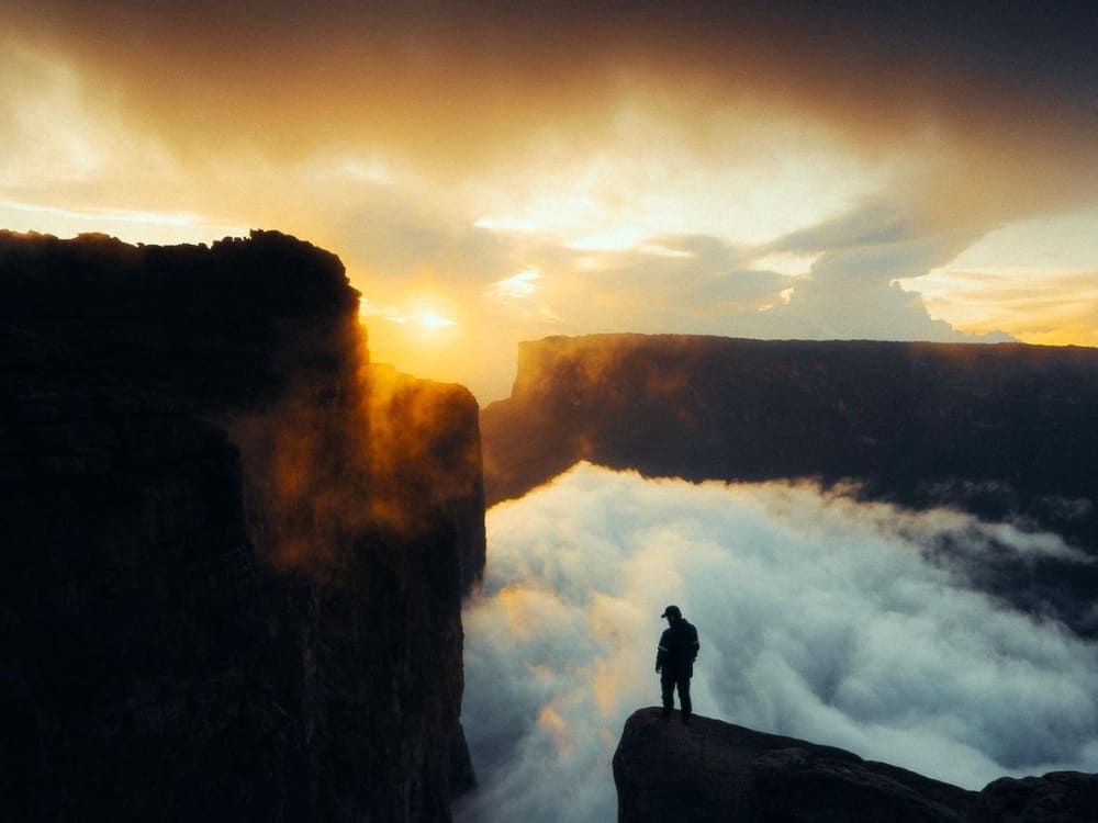
Yes, it is. At 2,810 meters above sea level, the top of Mount Roraima frequently pierces the clouds. One moment, the summit may be hidden in thick fog, and the next, the sky clears to reveal panoramic views across Brazil, Guyana, and Venezuela.
This high-altitude environment means dramatic weather shifts. Days can be surprisingly hot, with strong sun exposure that makes the thin air feel intense and requires constant hydration and sun protection.
Yet the atmosphere can change in minutes: clear skies give way to sudden rain showers and powerful winds sweeping across the plateau. Nights can be freezing, with temperatures dropping close to 0°C (32°F), even though you’re in the tropics.
Even with all these challenges and unpredictable weather, seeing the world from above the clouds makes you feel both incredibly small and deeply connected to nature.
Traveling with PlanetaEXO means more than reaching the summit: it’s about making your adventure count. By choosing our expeditions, you directly support Indigenous communities, help preserve the fragile ecosystem of the tepui, and ensure tourism leaves a positive footprint.
We keep groups small and partner with trusted local guides, so your experience is authentic, safe, and respectful to the environment. That way, exploring the plateau and discovering what’s on top of Mount Roraima becomes both a personal achievement and a contribution to conservation.
👉 Want to experience this adventure? Contact us here and let’s start planning your Mount Roraima trek!
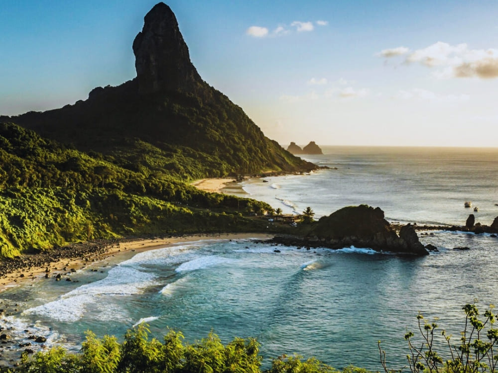
Dive into the secrets of Fernando de Noronha, Brazil’s island paradise, a sanctuary of breathtaking beaches, coral reefs, and wildlife
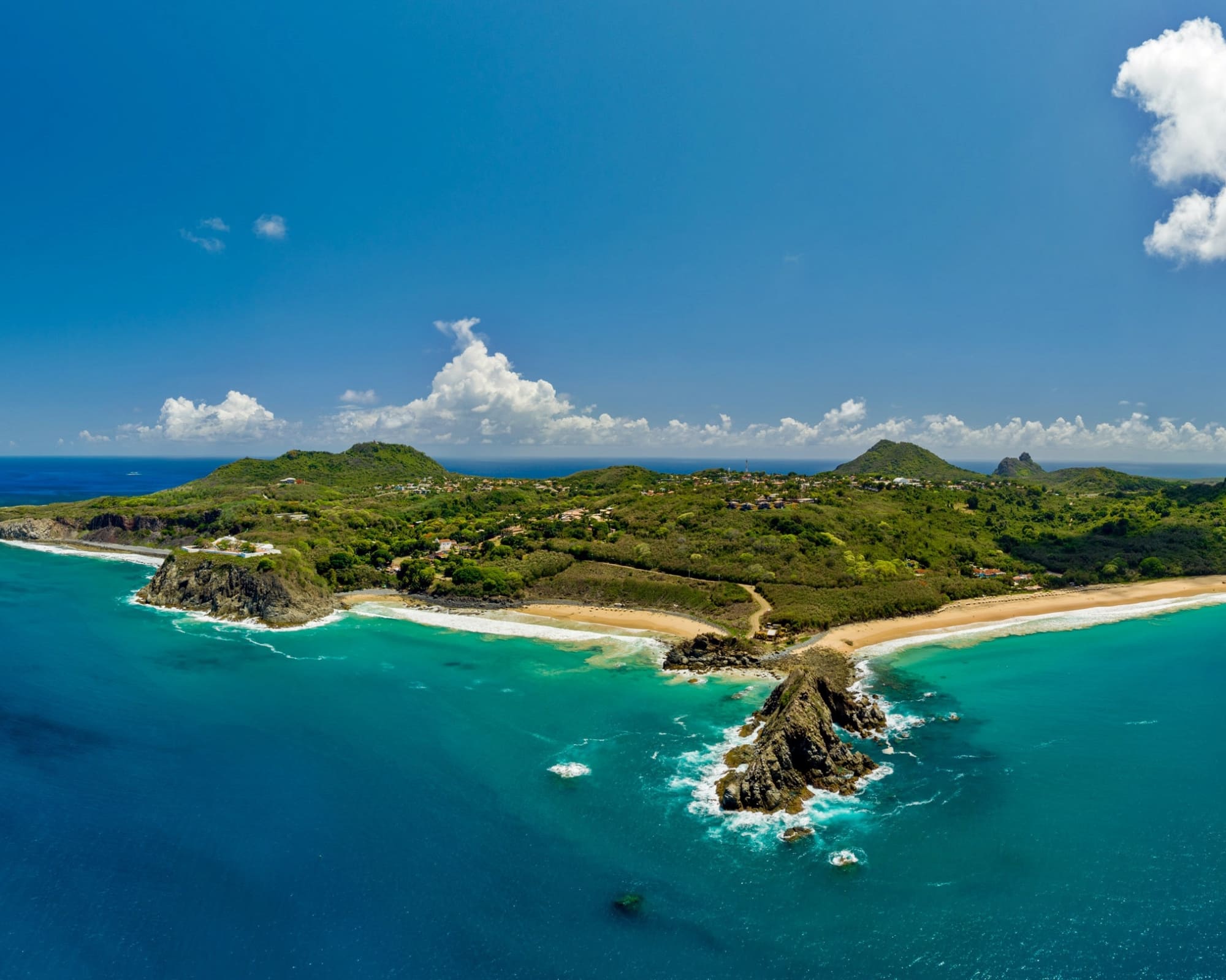
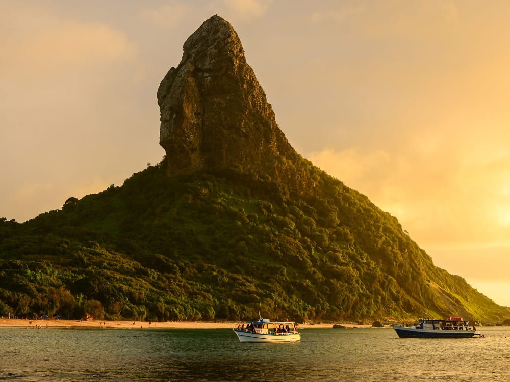
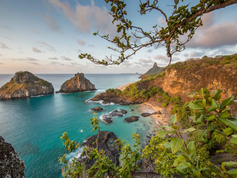
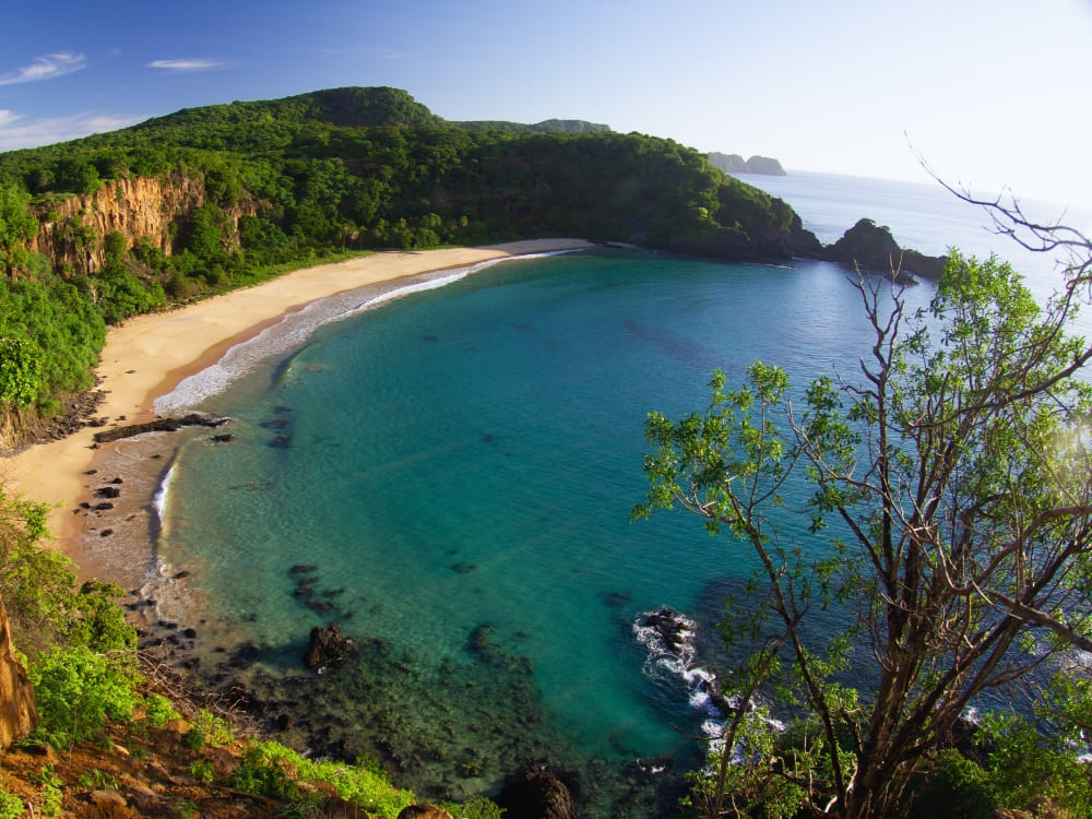
Hidden in the Atlantic Ocean off Brazil’s northeast coast, Fernando de Noronha is an archipelago that feels like a dream come true. Famous for its turquoise waters, stunning landscapes shaped by ancient volcanic activity, sea turtles, and unforgettable sunsets, this island is one of Brazil’s top natural treasures. Because of this, there are various surprising facts about Fernando de Noronha.
But what really makes Fernando de Noronha so special? Beyond its beauty, the archipelago is home to an incredible variety of marine life and wildlife, making it a playground for nature lovers. Dolphins, sharks, and exotic birds all coexist in this protected paradise.
.
At PlanetaEXO, we believe every trip should leave a positive impact. By choosing sustainable travel to Fernando de Noronha, you not only enjoy the adventure of a lifetime but also help local partners and conservation projects thrive.
Ready to be amazed? Check out 10 facts about Fernando de Noronha that you need to know:
1. Sharks, dolphins, and marine life at Fernando de Noronha
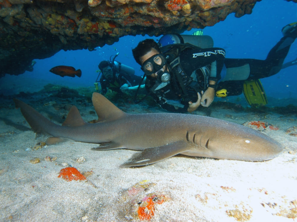
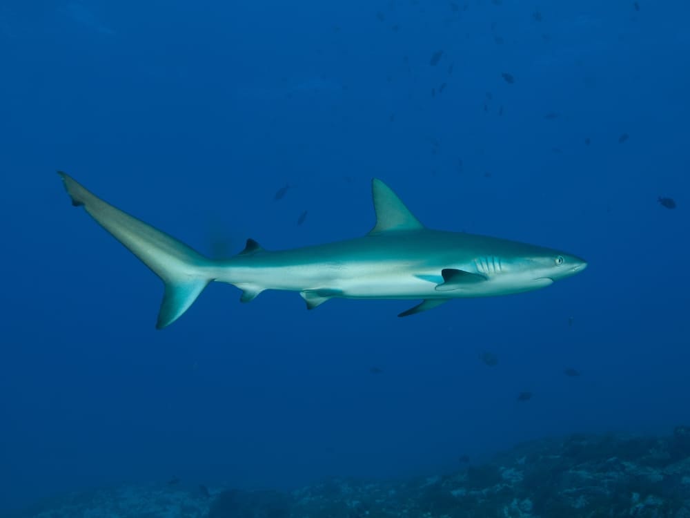
If you’re worried about sharks, don’t be! The waters are safe and crystal clear, home to species like lemon, nurse, and reef sharks, with encounters closely monitored by local guides during dives.
Photo: Sandro Rodrigues
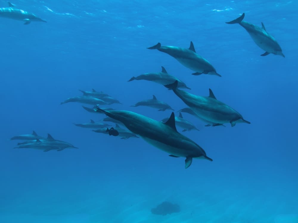
Noronha is also famous for its resident spinner dolphins, which perform daily shows at Baía dos Golfinhos. Watching hundreds leap and spin in the air, known locally as the balé dos golfinhos (dolphins’ ballet), is an unforgettable experience.
In fact, Fernando de Noronha is one of the few places in the world where dolphins can be seen every single day.
Beyond these stars, the archipelago shelters over 230 fish species, crustaceans, rays, and more reef sharks. On land, you’ll spot red-footed boobies, frigatebirds, tropicbirds, lizards, and crabs, proving that wildlife here thrives both above and below the water.
2. The smallest highway in Brazil: BR-363 in Fernando de Noronha
How big is Fernando de Noronha? The archipelago covers just 26 km², made up of 21 islands and islets, though only the main island is inhabited. Despite its size, it’s filled with beaches, trails, and stunning viewpoints.
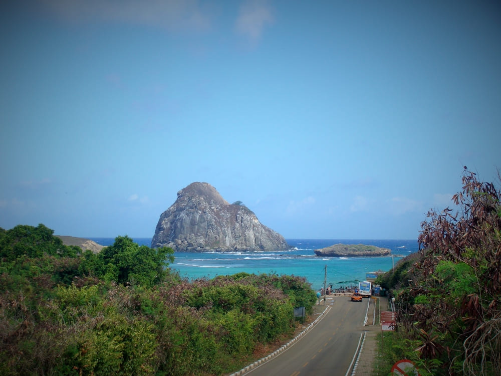
Noronha is crossed by Brazil’s shortest federal highway, the BR-363, just 7 km long. It’s the island’s main route for buses, cars, motorcycles, and buggies, and the only federal highway in the country not connected to any other.
Because of its compact size, hitchhiking is common and safe, with locals readily sharing rides. Another quirky fact: the island has only one gas station, selling the most expensive gasoline in Brazil, up to 50% pricier than in Recife.
3. A volcanic archipelago that was once a prison and a hereditary captaincy
Fernando de Noronha is not just an island: it’s a volcanic archipelago formed around 12 million years ago, with dramatic cliffs, black rocks, and lava-carved coastlines that still shape its landscapes today.
The island also served as a penal colony: a prison built in 1737 operated for nearly 200 years until World War II, when Noronha became a military base. Some inmates lived under strict confinement, while others with lighter sentences could fish, swim, and even bring their families.
Adding to its history, Noronha was Brazil’s first hereditary captaincy. In 1504, King Manuel I granted the archipelago to merchant Fernão de Noronha, marking the beginning of this colonial system of land distribution.
.
4. A UNESCO World Heritage Site
Since 2001, Fernando de Noronha has been recognized as a UNESCO World Heritage Site for its exceptional natural beauty and biodiversity. Only a handful of places worldwide receive this status, making the island part of an exclusive club.
The site was chosen for its marine conservation efforts, unique ecosystems, and role as a sanctuary for endangered species.
UNESCO highlighted the island’s crystal-clear waters, dramatic volcanic landscapes, and the abundance of marine life, including dolphins, sharks, and sea turtles, that thrive under strong protection measures.
@visitbrasil
5. A Marine National Park, plastic-free and carbon-free
Over 70% of Fernando de Noronha is protected as a Marine National Park, with strict limits on tourism and daily visitor caps to reduce impact.
Conservation projects like the Tamar Project(sea turtles) and Projeto Golfinho Rotador (spinner dolphins) lead efforts in research and education, alongside programs for reef restoration, sustainable fishing, and wildlife monitoring.
Plastic-free
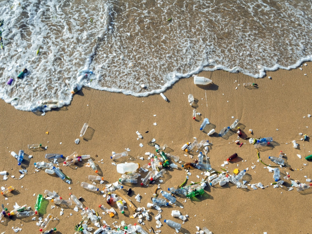
Since 2018, Fernando de Noronha has been officially a plastic-free island. A decree banned the entry, sale, and use of disposable plastic items such as bottles, cups, straws, bags, Styrofoam containers, and other single-use packaging.
This strict policy helps reduce ocean pollution and keeps the archipelago’s beaches and reefs pristine.
.
Carbon-free
Noronha is also pioneering as a carbon-free island. The “Noronha Carbono Zero” program aims to ban all fossil-fuel vehicles by 2030, with only electric transport allowed. Since 2022, no new combustion-engine cars have been permitted to enter.
With this, the island became the first place in Brazil to officially plan the elimination of carbon-emitting vehicles.
Another way that helps preserve the archipelago is the daily limit on the number of visitors. The island also relies heavily on renewable energy, especially solar power plants, to reduce its environmental footprint.
As proof of these conservation efforts, Praia do Sancho has been voted the best beach in the world multiple times by TripAdvisor’s travelers. It showcases how protection can improve natural beauty.
6. A perfect place to see the Hawksbill Sea Turtle
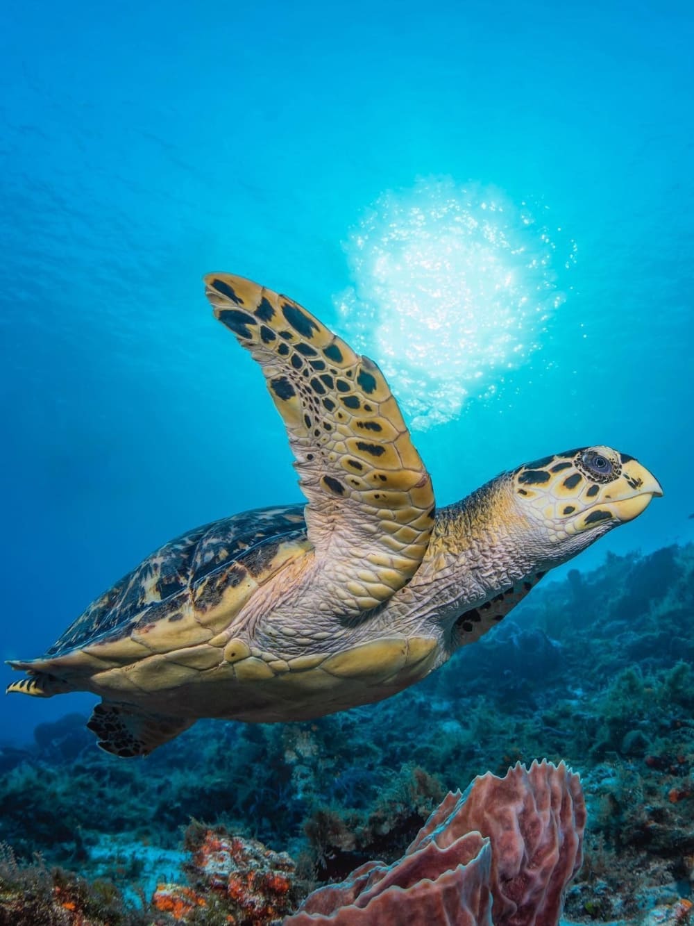
Noronha is a paradise for turtle lovers, where visitors can swim alongside hawksbill sea turtles under strict, eco-friendly rules. The Tamar Project protects nesting sites, and it’s common to witness hatchlings making their first journey to the sea.
Hawksbills are critically endangered, with populations down by more than 80% over the last century due to habitat loss, hunting, and climate change. Yet here they find a safe haven. These turtles are great travelers, often crossing entire oceans and even continents during their migrations.
To protect them, some beaches close after 6 p.m., giving females peace to lay their eggs. Living up to 50 years and helping keep coral reefs healthy, hawksbills make Noronha even more magical, especially if you visit during nesting season.
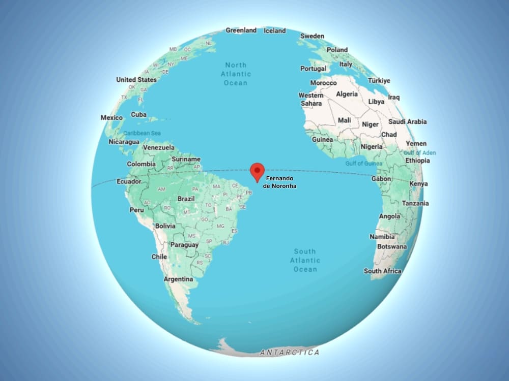
Here’s a geography twist: Fernando de Noronha is located just 354 km from the coast of Brazil, but in terms of distance, it’s closer to Africa than to some Brazilian capitals!
The island’s remote location in the middle of the Atlantic adds to its wild, untouched vibe. It truly feels like you’re in another world! Its isolated position also means it is Brazil’s easternmost point, marked by the Cape of São Miguel.
In addition, the archipelago sits right on the route of the South Equatorial Current, which brings warm, nutrient-rich waters from Africa, helping sustain its extraordinary marine life.
Photo: Google Maps
8. The “Galapagos of Brazil”
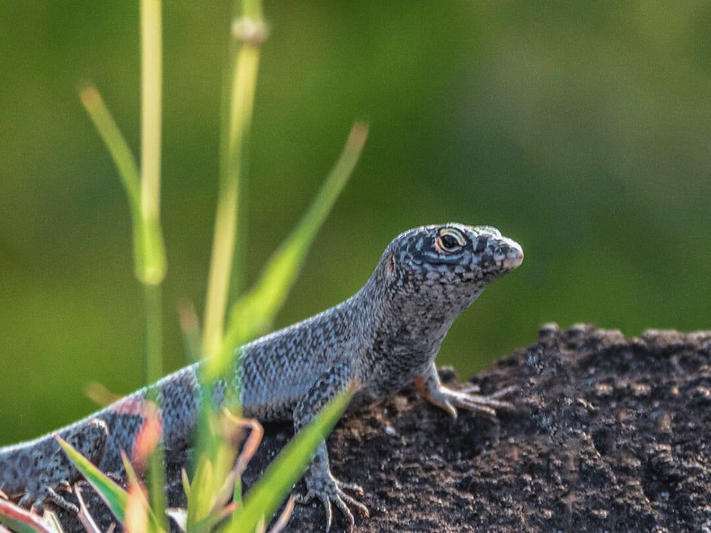
Ever heard Noronha called the Galapagos of Brazil? That’s because, like the Galapagos Islands, it’s a living laboratory of evolution. Many species of wildlife here are endemic, meaning they exist nowhere else on Earth.
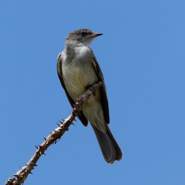
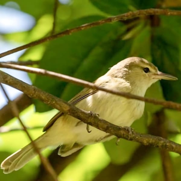
Among them are the Noronha skink (a unique lizard), the Noronha wormlizard, and two rare birds: the Noronha elaenia and the Noronha vireo.
Scientists and travelers alike come to study and admire the island’s biodiversity, making it a must-see destination for eco-travelers.
@mare.noronha
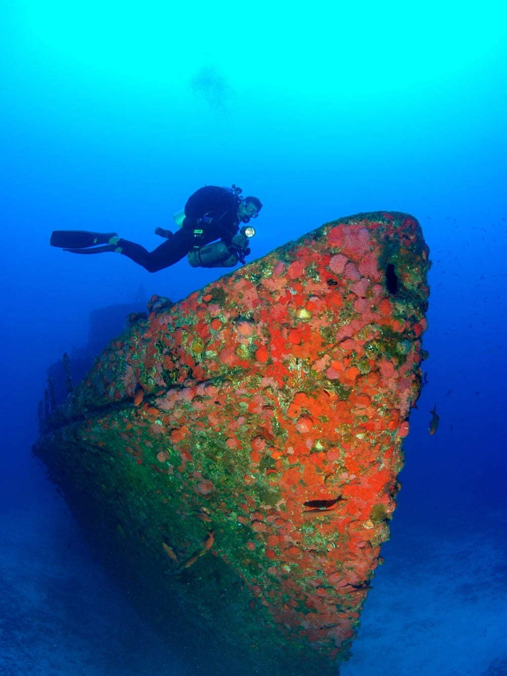
9. You can dive among corals and historic shipwrecks
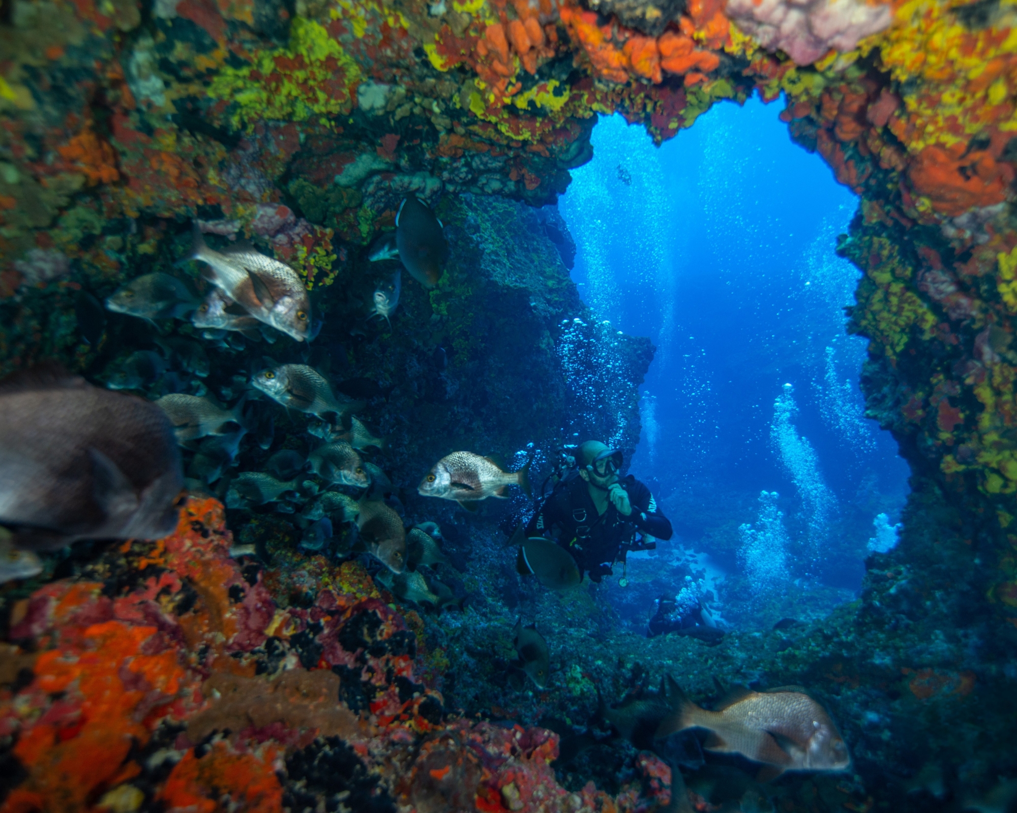
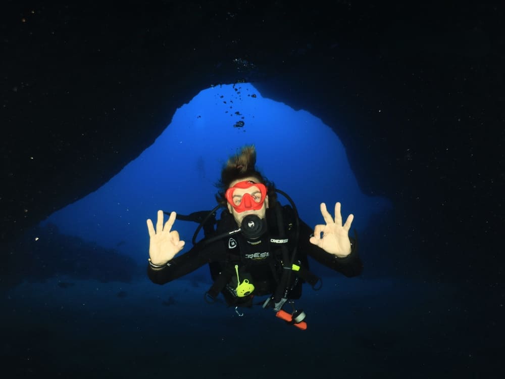
If you’re a diver, Noronha is heaven. Its reefs shelter over 15 coral species, some centuries old, alongside parrotfish, angelfish, seahorses, barracudas, snappers, and green turtles. With visibility of up to 50 meters, the waters rank among the clearest in the world.
The island is also famous for its shipwrecks. The highlight is the Corveta Ipiranga V17, a Brazilian Navy vessel that sank in 1983 and now rests intact at 70 meters, considered one of the country’s most impressive wreck dives.
Adding mystery are two Greek ships: the Maria Stathatos, destroyed by fire in 1937, and the Eleni Stathatos, wrecked after colliding with rocks. Both remain near the coast, forming artificial reefs that attract schools of fish.
10. Not many residents, and no births on the island
Fernando de Noronha is home to about 3,000 residents, most working in tourism, fishing, or conservation. Ecotourism sustains the community, ensuring income while encouraging sustainable practices, and locals proudly share their island with visitors.
Since 2004, the island’s maternity ward has been closed, so pregnant women must travel to Recife in their seventh month, with costs covered by the government. Even so, children can still be registered as Noronhenses, preserving their island identity.
And here’s a fun fact: Noronha has even hosted underwater weddings. In 1991, an American couple married at the bottom of the sea near Ponta da Sapata, and in 2017, a local couple tied the knot 16 meters deep inside Caverna da Sapata.
Photo: Pamela Rech
Traveling to Fernando de Noronha with PlanetaEXO
Traveling to such a fragile paradise requires responsibility. With PlanetaEXO, you can explore while knowing that your trip directly benefits local families and conservation programs.
We work only with trusted partners who share our values of sustainability, ensuring that every adventure supportsboth the community and the environment.
So, are you ready to experience one of the most breathtaking places on Earth? Join us, and discover these unforgettable facts about Fernando de Noronha while leaving a positive footprint behind.
👉 Send us a message and start planning your adventure in Fernando de Noronha!
Learn about logistics, the best routes, main access points, and what you need to plan before starting your Mount Roraima trekking adventure
One of the most incredible tepuis in South America, Mount Roraima is located on the triple border of Venezuela, Brazil, and Guyana. At 2,810 meters (9,219 feet) above sea level, it’s one of the highest places on Earth.
Its untouched natural beauty, thrilling hiking trails, and cultural and spiritual aspects attract countless adventurers every year, so knowing how to get to Mount Roraima is a crucial part of any travel planning.
To help with the arrangements of your next trip, PlanetaEXO, an ecotourism platform specializing in Mount Roraima tours, has put together a detailed guide with all the information you need. Check it out below!
Photo: Lucas Gobatti
How to Get to Mount Roraima?
You can start your adventure to Mount Roraima from a few different locations, but the most popular and convenient gateway is Boa Vista, capital of the state of Roraima, in northern Brazil.
Boa Vista’s close location to the Venezuelan border, specifically to the city of Santa Elena de Uiarén (Grand Sabana, Bolívar), makes it a natural hub for expeditions heading to the plateau.
Photo: Andrezza Mariot
From Boa Vista to Santa Elena de Uairén
Boa Vista Airport (BVB) is categorized as internation, but in practice, it mainly receives domestic flights from Brazilian cities such as Brasília, Manaus, and São Paulo. Therefore, foreign travelers need to land in one of these locations before flying to Roraima.
From Boa Vista, the most common route is to travel by car or transfer along the BR-174 highway. From there, it takes around 3 hours on the road to reach the border with Venezuela, followed by an extra 20 minutes to arrive in Santa Elena de Uairén.
With a few ways to make the trip, this cross-border journey is a well-trodden path, particularly for Brazilian travelers joining organized expeditions.
Private Transfer
The most comfortable option, usually arranged by tour operators. A driver picks you up at your hotel or airport in Boa Vista and takes you directly to Santa Elena de Uiarén. This ensures flexibility with departure times and stops along the way.
Operated by trustworthy local partners, shuttle services are included in all of PlanetaEXO’s tours.
Shared Van
More affordable, travelers join a small group for the ride. Vans depart regularly from Boa Vista and are commonly used by those joining expeditions. They may take slightly longer depending on stops and border procedures.
Public Bus
The cheapest but least convenient option. Buses connect Boa Vista to Santa Elena de Uiarén, but schedules are irregular, and the journey can be slower due to frequent stops. Not recommended for travelers with limited time or those who prefer more reliable logistics.
Photo: Lucas Gobatti
The Beginning of the Journey
Santa Elena de Uairén is a pivotal starting point for travelers, providing modest accommodations, restaurants, and last-minute supplies before the trek.
From there, the adventure continues with a scenic drive to Paraitepuy, an indigenous community that serves as the gateway to the trails that lead to Mount Roraima. The drive itself offers stunning views of the Gran Sabana landscapes, passing the Tek and Kukenan rivers.
Always counting on the expertise of local indigenous guides, trekkers usually stop at rustic campsites along the way. This is where the real journey to the top of Mount Roraima begins.
Photo: Lucas Gobatti
What’s the Best Access to Get to Mount Roraima: Brazil or Venezuela?
When you plan a trip to Mount Roraima, one of the most common questions is whether to access it through Brazil or Venezuela. Both are possible, but they offer very different logistics.
Entering via Brazil
For most travelers, Brazil is the easiest and safest option. Boa Vista, in Roraima, is connected to major Brazilian cities with daily flights, making it relatively straightforward to plan an itinerary.
The infrastructure on the Brazilian side is generally reliable, with services and support in Portuguese or English. Another advantage is that some nationalities (including Europeans and many Latin Americans) do not need a visa for short stays, making this a simpler route in terms of bureaucracy.
After crossing into Venezuela, you’ll reach Santa Elena de Uairén, where most expeditions organize logistics before heading to Paraitepuy and, finally, to Mount Roraima.
Traveling this way allows you to rely on Brazilian airports and services for your arrival and departure while only entering Venezuela for the actual trek.
Photo: Lucas Gobatti
Entering via Venezuela
Santa Elena de Uairén does have a regional airport (SNV), but it handles little more than charter and air-taxi traffic. Scheduled service has always been thin and intermittent, a twice-weekly Conviasa link from Caracas via Puerto Ordaz and Canaima came and went, so you cannot plan a trip around it.
Driving in from within Venezuela is a long haul: Caracas to Santa Elena covers about 1,250 km through Ciudad Guayana, which realistically means two days on the road.
That is why, unless you are already in Venezuela, Boa Vista in Brazil remains the reliable way in to start your Mount Roraima trek.
Whether you choose to enter through Brazil or Venezuela, it is crucial to check visa requirements in advance.
For those holding passports from the US, Canada, or Australia, Brazil mandates an e-Visa. This process is conducted entirely online without requiring a consulate visit, and airlines will verify your approved code prior to check-in. Citizens of Mercosur countries, Europe, Japan, and South Korea enter visa-free.
Venezuela is where travelers tend to get caught out, because the rule depends on how they arrive. European travelers are exempt from the tourist visa only when they fly in. Crossing at the land border, which is exactly what the Boa Vista route involves, calls for a tourist visa arranged in advance. US citizens need one either way.
However you enter, expect to show a passport valid for at least six months, onward travel, and proof of where you’re staying.
Keep in mind: policies can change. During your travel planning, check if you need a visa on Brazil’s Ministry of Foreign Affairs website and/or the nearest Brazilian and Venezuelan embassies. You can also do a quick search on Sherpa, but remember to always verify the current conditions on the official channels of each country.
When you plan your trip to Mount Roraima, or any other destinations for hiking in Brazil, you need professionals who are familiar with the location and who can make the trek as smooth and fulfilling as possible.
PlanetaEXO, an ecotourism platform specializing in Mount Roraima tours, works with expert local partners who are deeply connected with the indigenous community of the region, not only ensuring safety and the best logistics but also a culturally rich experience. Contact us now!
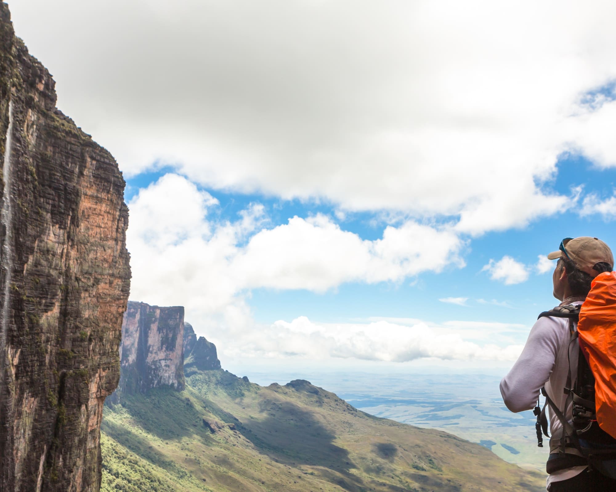
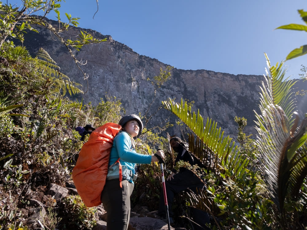
Hiking Mount Roraima involves diverse terrain and unpredictable weather, but with the right preparation, you can reach the top. Discover the challenges of climbing this iconic peak and how to make it achievable for all!
You might be asking yourself: How hard is it to trek up Mount Roraima? While it’s a moderate challenge that requires physical preparation, it’s definitely achievable for anyone with the right mindset and training. It’s not just for professional climbers: many hikers, regardless of experience, can reach the top of Mount Roraima with proper planning and the right support.
The trek is suitable for all ages, with children under 14 needing to be accompanied by an adult, making it a challenge for everyone, from young adventurers to seasoned trekkers!
The path includes navigating rocky routes and steep climbs, which makes it physically demanding, especially in certain sections. But with the right equipment and preparation, it’s a journey that offers incredible rewards, both in terms of natural beauty and personal fulfilment.
At PlanetaEXO, a specialized South American adventure company, we partner with trusted local partners to help you reach the top of Mount Roraima. Our team ensures you’re fully prepared for the challenges of climbing this iconic peak, from managing the terrain to navigating the unpredictable weather.
Learn more about all the important things you need to know before trekking up Mount Roraima:
Understanding the Difficulty of Climbing Mount Roraima
While the idea of “climbing” Mount Roraima may sound daunting, it’s important to understand that it’s not a vertical climb. The trek is challenging, but it’s more about hiking Mount Roraima through various terrains and river crossings. So, how hard is it to climb Mount Roraima? The answer depends on several factors, including the terrain, your physical fitness, and the level of support you choose.
👉 Don’t forget to check the visa requirementsbefore planning your trek.
Is it a Trek or a Climb?
Mount Roraima is a trekking adventure, not a rock climb. It’s a long hike, but most people in good physical condition can successfully reach the top of Mount Roraima with adequate preparation. The key is to pace yourself and take the time to adjust to the terrain and weather conditions along the way.
Photo: Lucas Gobatti
Factors That Influence Your Experience
Before considering the factors below, note that the trek begins in Canaima National Park, at the Indigenous community of Paraitepuy, where visitors register, receive basic instructions, and meet the local guides and porters who will accompany the journey.
Several factors can affect the difficulty of your trek. Here are the main considerations that will influence your experience:
1. Duration of the Trek
The trek to the summit typically spans 8 to 10 days. The total trekking distance is between 90 and 100 kilometers (56 to 62 miles), including the ascent, time spent at the summit, and the return journey. The number of nights at the top of the mountain also varies according to the duration of each trek.
With the 10-day PlanetaEXO option, for example, you spend 5 nights on the plateau of Mount Roraima. A longer itinerary allows you to pace yourself and adjust to the physical demands, making the experience less strenuous. However, if you’re seeking a more intense challenge, some choose to complete the 8-day itinerary in 6 days.
Photo: Lucas Gobatti
This compressed version covers the same distance but in a shorter period, making it a more physically demanding experience. While it allows you to reach the top of Mount Roraima in less time, it requires a higher level of fitness and endurance due to the quicker pace.
Choosing a company like PlanetaEXO makes the trek easier. Our trusted local partners, carefully selected by us, take care of the logistics on the trail, from carrying camping gear to preparing meals.
If you decide to manage these tasks yourself, the trek will become more challenging. With the right partners handling logistics, you can focus on enjoying the hike.
To stay dry, consider using a rain cover for your backpack and dry bags to protect your essentials from moisture. Extra socks (preferably synthetic or wool) and a quick-dry microfiber towel will also help keep you comfortable during and after long days of hiking
Important reminder:Even with quality gear, heavy rain and humidity can flood tents and muddy campsites, affecting rest. Keep essentials dry and be ready for less-than-ideal nights.
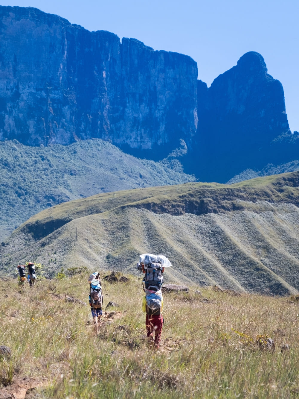
Even though travel companies handle the logistics of food and camping gear, you’ll still need to carry your personal items. To lighten your load, you can hire a porter from the local community to help reduce the physical demands of the trek.
This service also contributes to the local economy by supporting experienced porters who are deeply rooted in the community. By hiring them, you’re financially supporting skilled professionals who understand the region, its environment, and its culture, helping sustain their livelihoods.
Photo: Lucas Gobatti
4.Your Physical Fitness
Your fitness level plays a significant role in how hard the trek will feel. The terrain varies from easy to moderate, with steeper sections as you approach the summit.
If you’re in good health and have done some basic hiking, you’ll be able to handle the trek, but it’s still important to train beforehand to prepare for the demands of a multi-day trek.
Photo: Lucas Gobatti
Remember that it is a long walk, so you need to be in good physical condition and be prepared for strong sun exposure at high altitude, which can intensify its effects.
5. Terrain and Steep Ascents
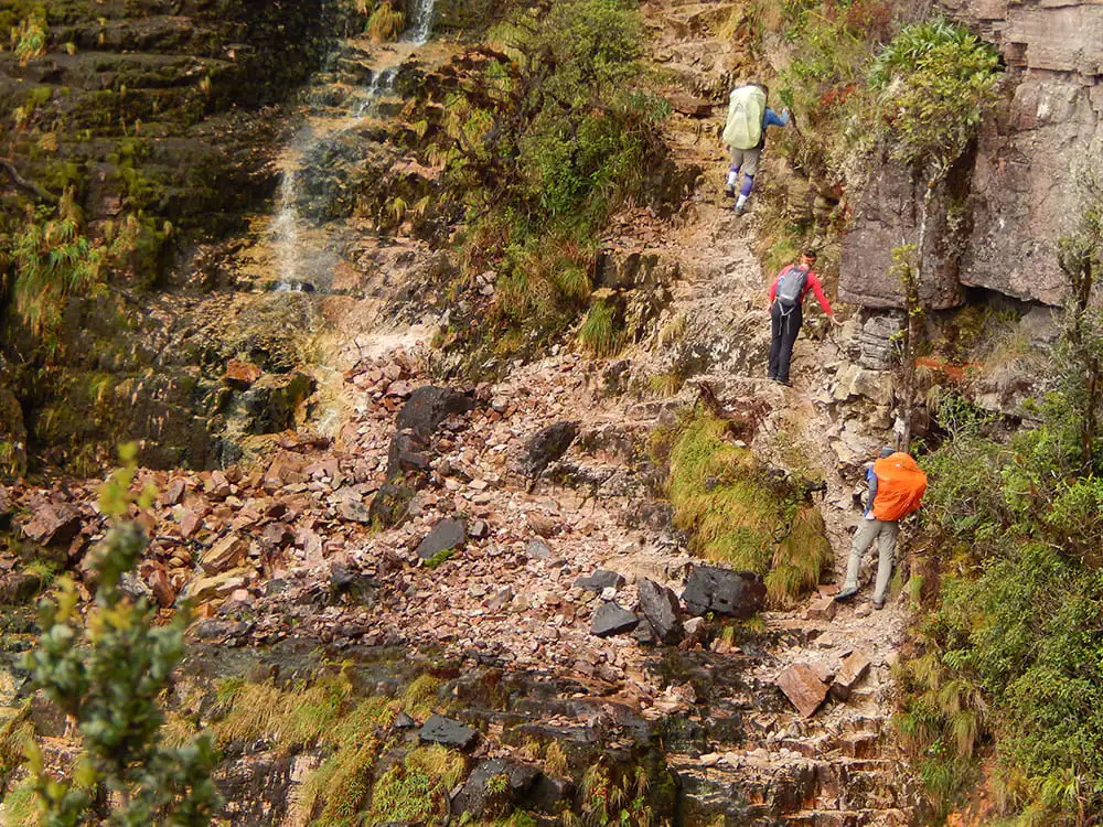
The terrain can be challenging, with uneven surfaces and slippery sections, especially as you approach the summit. These steep ascents can be physically demanding, but with the right preparation, the reward of reaching the top of Mount Roraima becomes an unforgettable achievement.
Some key elevation points include:
Basecamp: Around 1,500 meters (4,920 feet), where the trek levels out before the final push. Reaching it includes early challenges like the “Prova do Novato”, a steep climb that hints at what’s ahead, and crossing the Tek and Kukenan rivers over slippery rocks with guide assistance.
Ascent to the Summit: Steep sections begin around 2,200 meters (7,218 feet), getting progressively more challenging as you approach the 2,810-meter (9,219 feet) summit. This stage includes notable landmarks such as La Rampa, a narrow natural ramp carved into the cliffside where hikers often use all four points of contact due to its steep incline, and the Poço das Lágrimas, a slippery rocky passage often wet from rain and waterfalls, both requiring extra caution and steady footing.
Rocky Terrain: From 2,500 meters (8,200 feet) onwards, after La Rampa, the trail turns rugged with large boulders and uneven ground, leading to the 2,810-meter plateau and El Maverick, the summit’s highest point and a popular climb for sweeping views.
Some sections require careful navigation over rocky terrain, which can be exhausting but manageable for most hikers with prior experience.
What to Expect on the Trail: Key Points of the Trek
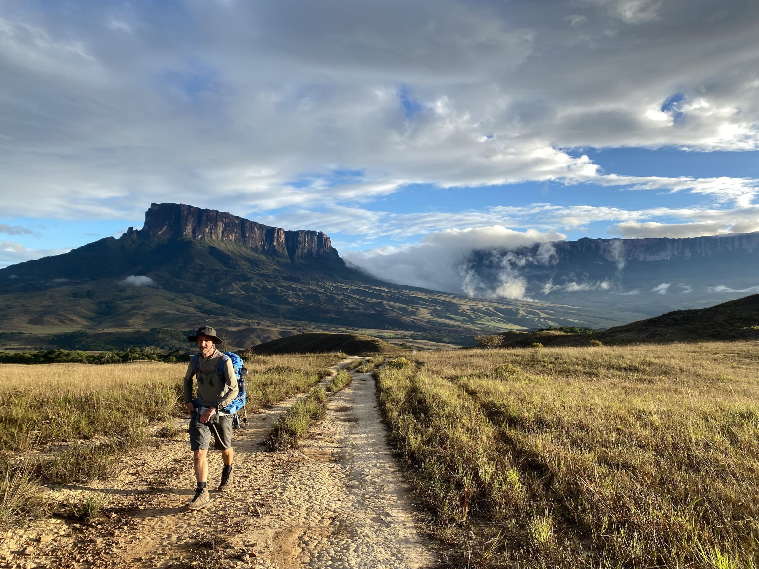
At this point, you already know that Mount Roraima is a tepui, a flat-topped mountain on the Guiana Shield that rises to 2,810 meters at the Brazil–Venezuela–Guyana border. Its sheer 1,000-meter cliffs isolate the plateau from the forest and savanna below, creating a distinct and fragile ecosystem.
Constant rainfall and nutrient-poor soils have shaped highly specialized flora, including carnivorous plants, and fostered a remarkable level of endemic species.
This perspective highlights that reaching the summit is not only about overcoming physical challenges but also about experiencing an ever-changing landscape filled with natural wonders. Here’s what awaits you along the way:
Day 1-2: Start your trek by crossing rivers and gradually ascending. These days are relatively moderate, giving you time to adapt to the pace of the expedition.
Day 3–4: The trail grows steeper as you approach the mountain’s base. Here, rocky paths and sharper ascents make the climb more demanding.
Day 5–6: Arriving at the summit, you’ll explore an otherworldly plateau dotted with unique vegetation and enjoy sweeping views across three countries.
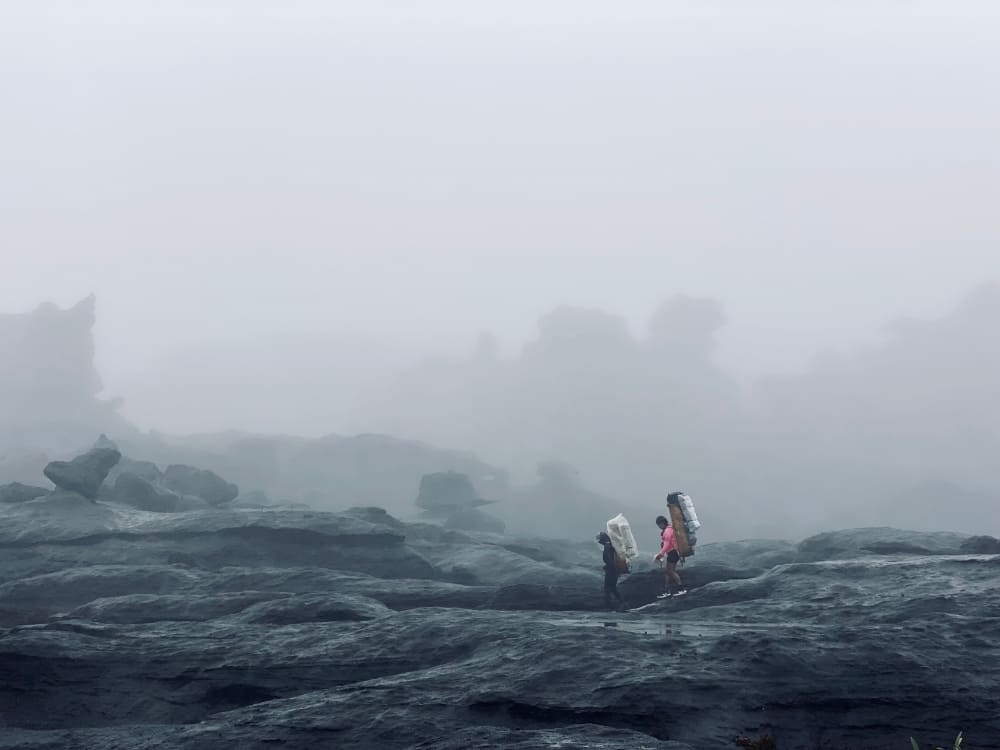
The weather on Mount Roraima is highly unpredictable, so being prepared for a variety of conditions is essential. The mountain follows the tropical climate of Venezuela, which means you may encounter rain, fog, and significant temperature fluctuations throughout the trek.
At the summit, camping is in natural rock shelters (“hotels”) that offer partial protection from wind and rain but have uneven ground. Expect intense sun during the day and near-freezing temperatures at night. The views and sense of accomplishment make it all worthwhile!
What to Expect:
Rain: Rain is common, especially in the afternoon and evening. The wet season, from May to November, brings heavier and more frequent rainfall, which can make the trail slippery and harder to navigate. Be sure to pack waterproof gear, such as a jacket and rain cover for your backpack, to stay dry.
Fog and Wind: The summit is often shrouded in fog, and strong winds are frequent, especially as you reach higher elevations. The fog can limit visibility, and the wind can make hiking and camping more challenging.
Temperature: Despite being in a tropical region, the altitude causes significant drops in temperature, especially at night. During the day, temperatures can range from 20°C to 25°C (68°F to 77°F), but at night, they can plummet to as low as 5°C to 10°C (41°F to 50°F). Even in the summer months, you’ll experience chilly conditions at night.
Photo: Lucas Gobatti
Best Time to Visit
The best time to trek Mount Roraima is during the dry season, from December to March, when rainfall is less frequent, and the weather is more stable. This period offers the most comfortable trekking conditions, with less rain and cooler nights. However, even in the dry season, weather conditions can still be unpredictable, so be prepared for all possibilities.
👉 Check out our complete travel guide for all the details on Mount Roraima’s climate, logistics, and more!
@watchluke
Hiking Mount Roraima with PlanetaEXO
At PlanetaEXO, we’re committed to providing sustainable travel experiences that benefit both travelers and local communities.
We work closely with expert local guides, many from the Indigenous community of Paraitepuy inside Canaima National Park, who are passionate about conservation and sharing the beauty of the mountain.
Photo: Lucas Gobatti
By choosing us, you’re not just embarking on an adventure; you’re supporting ecotourism that helps preserve Mount Roraima for future generations.